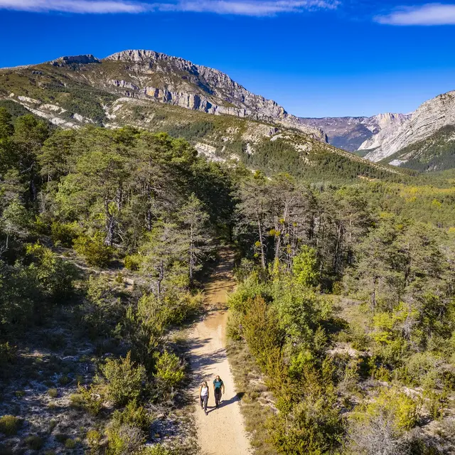
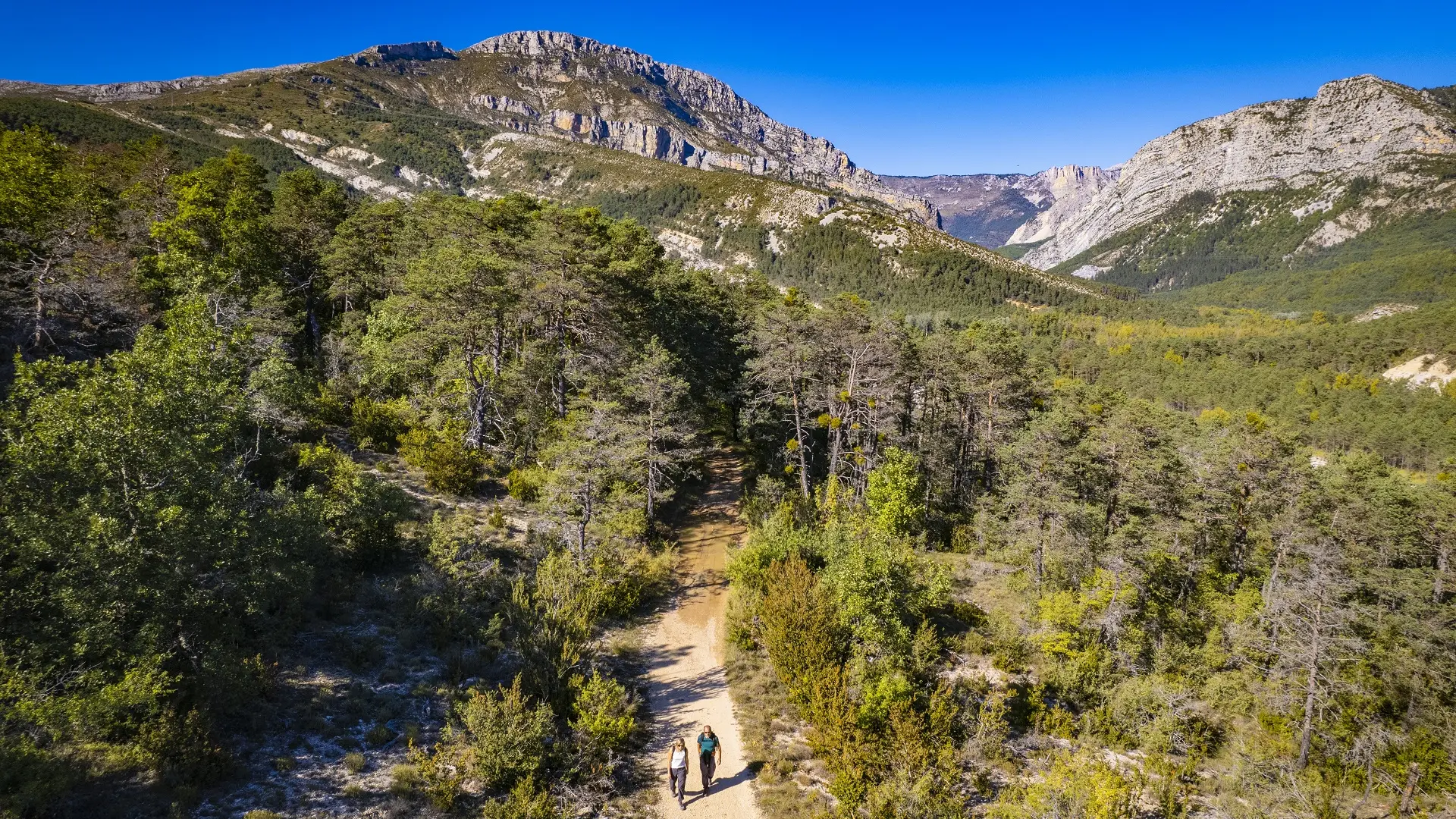
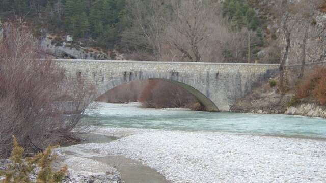
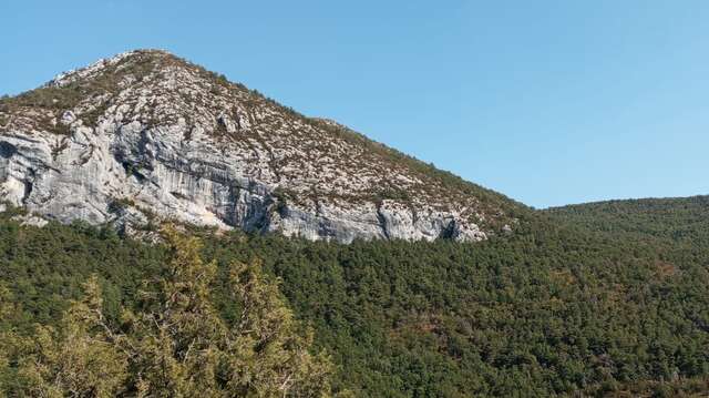
This hike will introduce you to the charm of Trigance and its architectural treasures, before taking you to the Carajuan bridge, gateway to the wonderful Verdon Gorges.
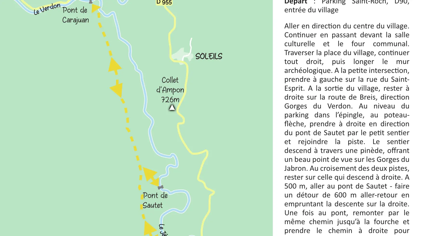
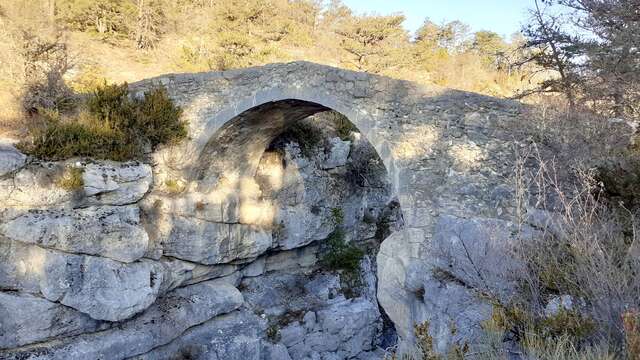
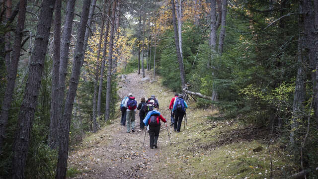
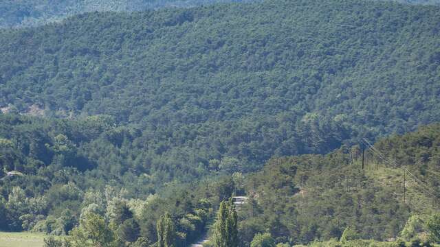
Go towards the centre of the village. Continue past the cultural hall and the communal oven. Cross the village square, go straight ahead and walk along the archaeological wall. At the small crossroads, turn left onto rue du Saint-Esprit. As you leave the village, keep right on route de Breis, direction Verdon Gorges. At the parking in the sharp bend, at the arrow sign, turn right towards ‘’Pont de Sautet’’ along the narrow path and join the bigger track. The path goes down through a pine forest, offering a fine view of the Jabron Gorges. At the crossroads of the two tracks, stay on the one that follows to the right. After 500 m, go to the Sautet bridge - make a 600 m out-and-back by taking the downhill path on the right. Once at the bridge, take the same path back up to the crossroads and take the path on the right to reach the Carajuan bridge. Once at the bridge, enjoy the landscape, then turn around and follow the same route back to the village.
To see the hike on the map, click here: https://shorturl.at/BeyZ7
Read more
Plain text period
All year round daily.
Before hiking, check whether access to forest areas is authorised: https://www.risque-prevention-incendie.fr/var/.