- Voir les favoris
TV06 - Venasque Departmental Forest
Sport, Pedestrian sports, Trail route
in Le Beaucet
10.2
km
-
Ideal trail to discover trail running. Alternating trails and small roads.
-
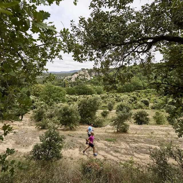
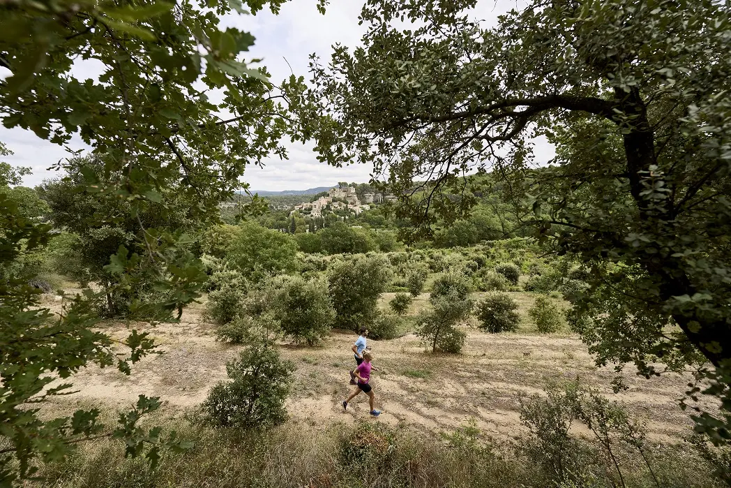
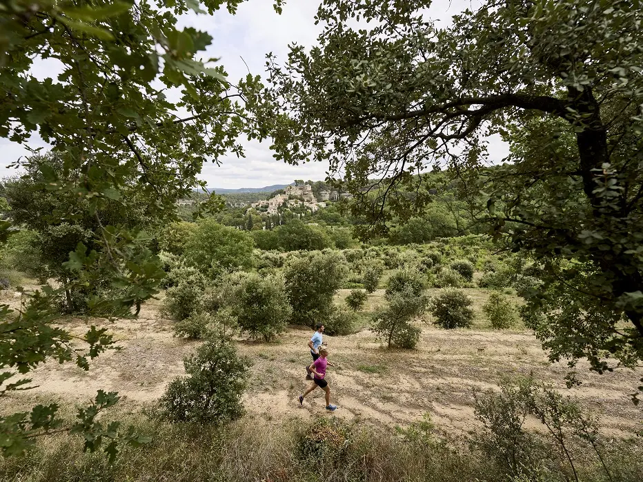
No major difficulties apart from a steep climb at the start (350m).
Then alternating downhill and uphill paths lead to the Forêt Départementale de Venasque - Saint Didier (3km). The first part of the route is fairly shady, then becomes sunnier as you reach the plateau. Arrive at the start parking lot via the Château.
- Departure
- Le Beaucet
-
-
Difference in height
- 339.594 m
-
-
-
Plain text period
- All year round.
-
-
-
Spoken languages
-
-
-
Documentation
- GPX / KML files allow you to export the trail of your hike to your GPS (or other navigation tool)
-
- See all reviews
- 340 meters of difference in height
-
- Maximum altitude : 356 m
- Minimum altitude : 180 m
- Total positive elevation : 340 m
- Total negative elevation : -340 m
- Max positive elevation : 100 m
- Min positive elevation : -90 m
