- Voir les favoris
Ubaye - Pays du Viso in 3 days (GRP®): Petit tour du Chambeyron
Sport, Pedestrian sports, Hiking itinerary
in Val d'Oronaye
47.2
km
Very difficult
-
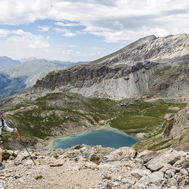
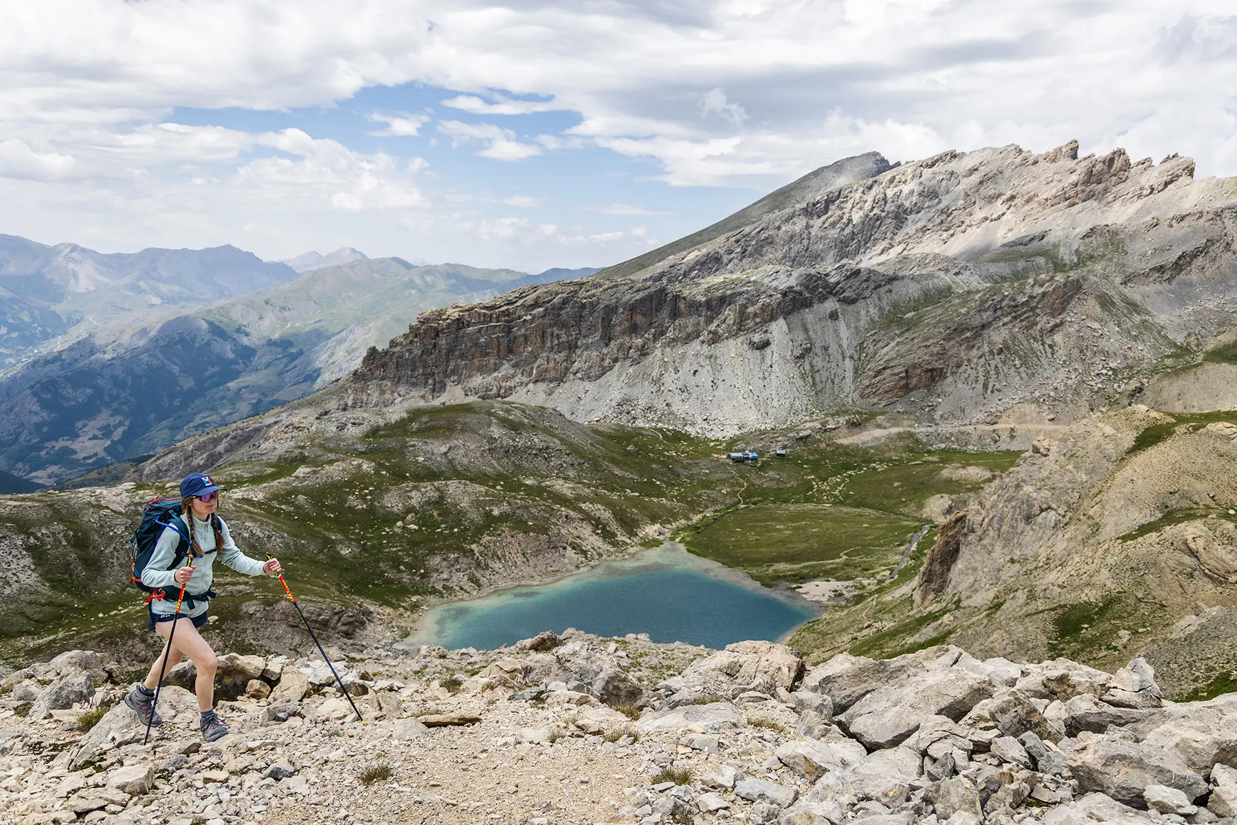
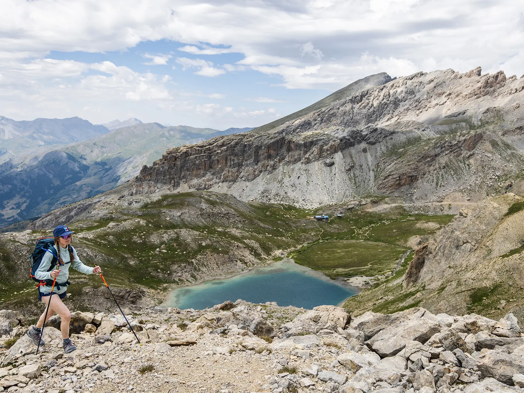
Explore the GRP® Ubaye - Pays du Viso, a cross-border trail lasting 2 to 6 days linking France and Italy. Cross the Chambeyron - Oronaye massif and admire the rich, unspoilt landscapes.
-
This sheet describes the 3-day Petit tour du Chambeyron. It is a less traditional, less frequented but extremely beautiful route.
- Departure
- Val d'Oronaye
-
-
Difference in height
- 3010.26 m
-
-
-
Documentation
-
- Ubaye - Pays du Viso en 3 jours (GRP®) : Petit tour du Chambeyron
-
-
-
Accepted customers
-
- See all reviews
- 3010 meters of difference in height
-
- Maximum altitude : 2908 m
- Minimum altitude : 1528 m
- Total positive elevation : 3010 m
- Total negative elevation : -3010 m
- Max positive elevation : 384 m
- Min positive elevation : -744 m
Services
-
-
Services
-
