Ubaye - Pays du Viso en 4 jours (GRP®) : Tour de l'Oronaye

Ubaye - Pays du Viso in 4 days (GRP®): Tour de l'Oronaye

Sport, Pedestrian sports, Hiking itinerary in Val d'Oronaye
63.0 km
Very difficult
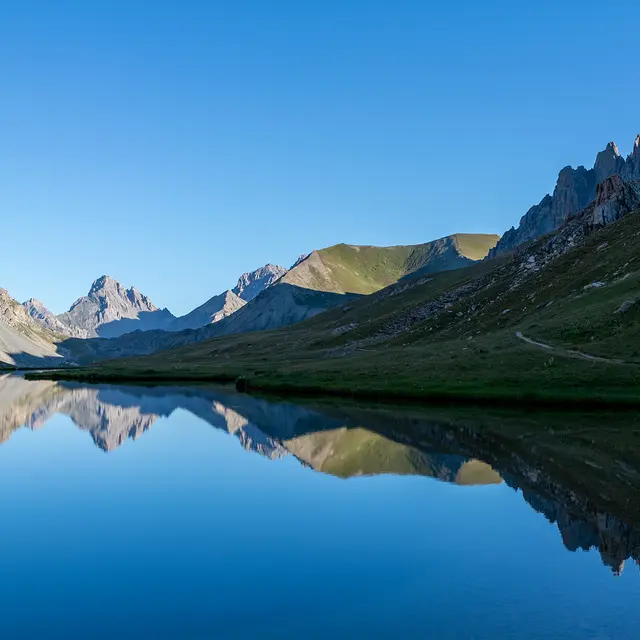
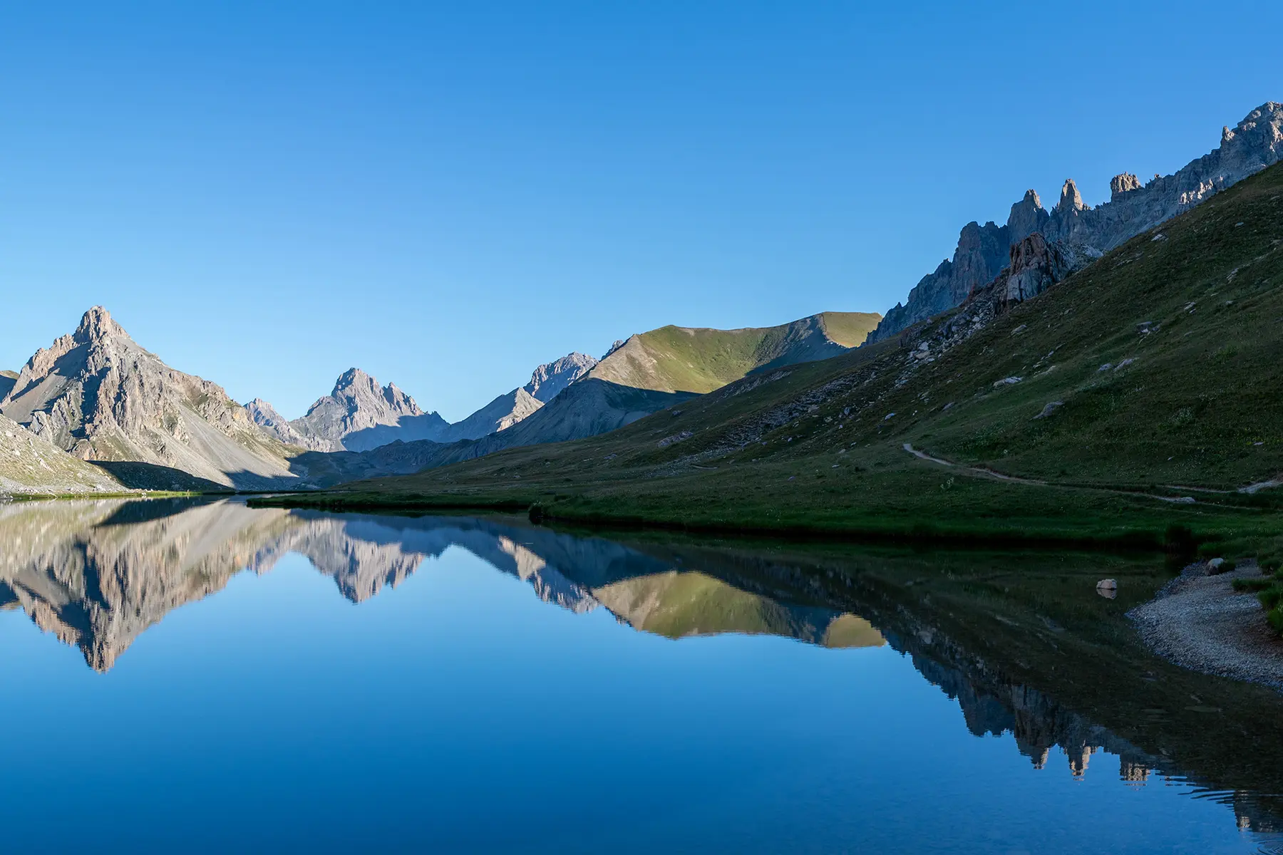
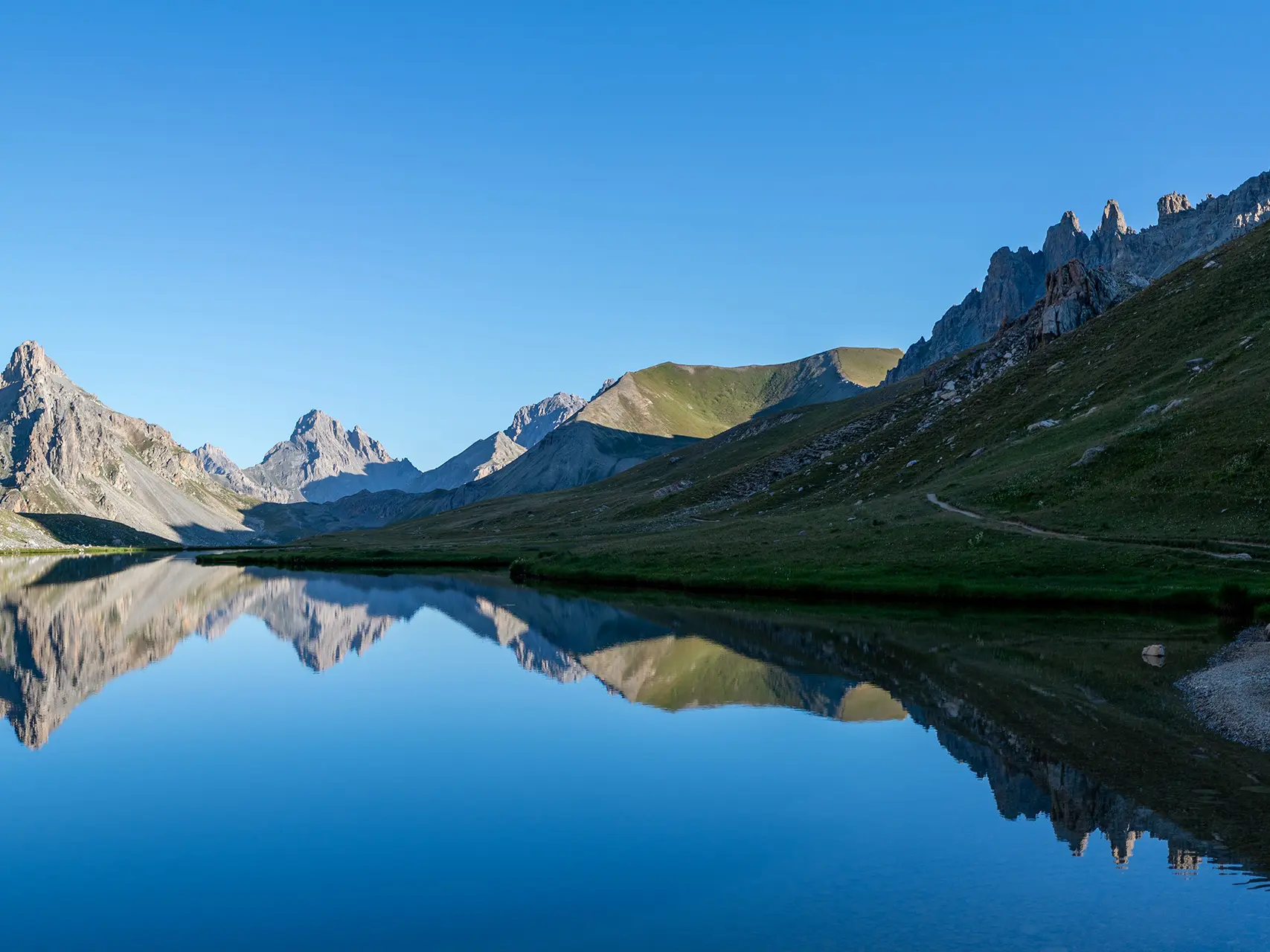
  • The GRP® Ubaye - Pays du Viso offers 2 to 6 days of hiking between France and Italy to explore the Chambeyron - Oronaye massif and its natural wonders, including lakes, ridges and mountain pastures.

  • This four-day circuit, further south, moves away from the highest peaks of the massif. It offers an interesting alternative to the Tour du Chambeyron. It is mainly concentrated between the Maïra Valley and the Ubayette Valley.
  • Accepted customers
    • Level black - very hard
4091 meters of difference in height
  • Maximum altitude : 2844 m
  • Minimum altitude : 1491 m
  • Total positive elevation : 4091 m
  • Total negative elevation : -4091 m
  • Max positive elevation : 749 m
  • Min positive elevation : -875 m
Services
  • Services
    • Pets welcome