- Voir les favoris
Ubaye - Pays du Viso in 4 days (GRP®): Tour de Sautron
Sport, Pedestrian sports, Hiking itinerary
in Val d'Oronaye
59.0
km
Very difficult
-
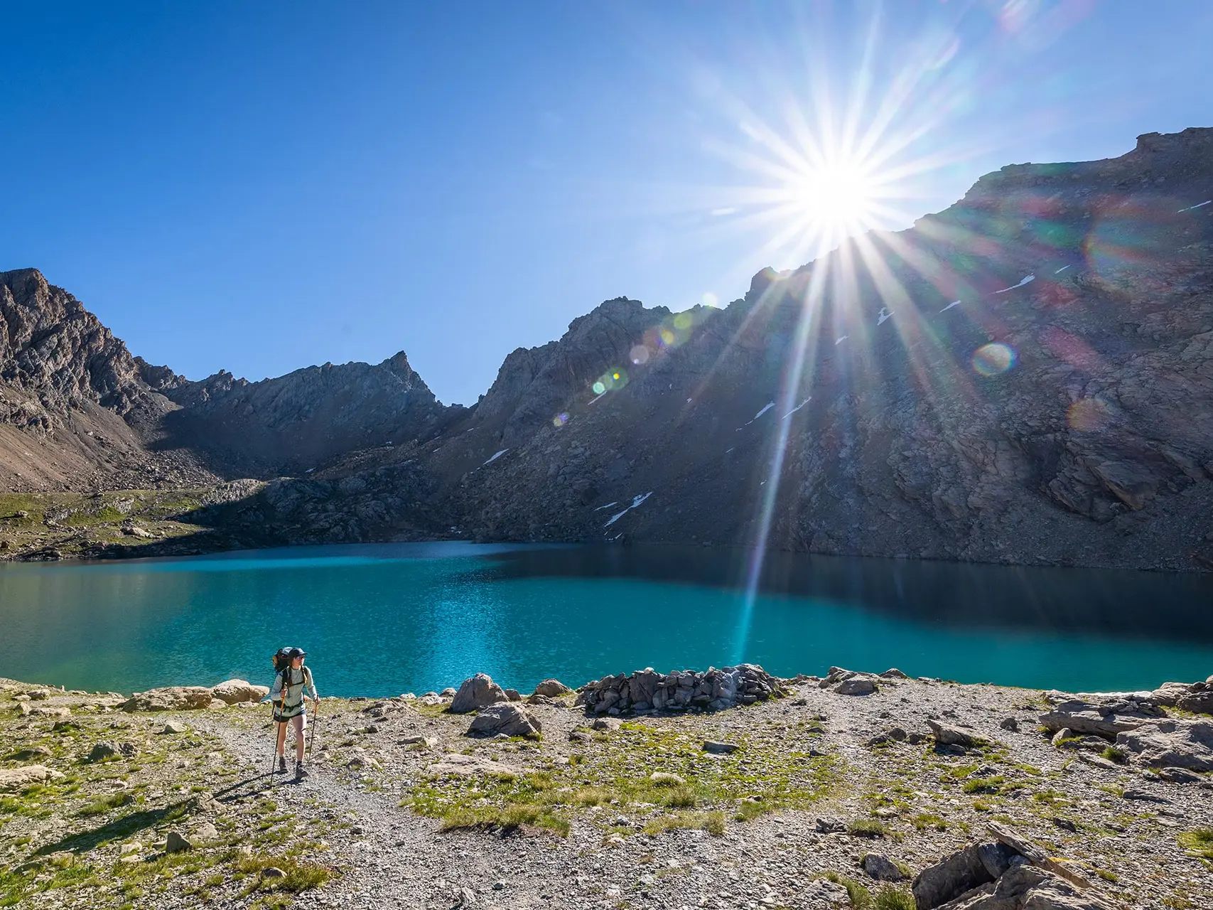
Hike along the GRP® Ubaye - Pays du Viso, a cross-border network offering 2 to 6-day hikes between France and Italy, through the wild Chambeyron - Oronaye massif and its exceptional panoramic views.
-
This sheet describes the 4-day Tour Sautron. In addition to the pleasure of hiking in magnificent landscapes, this hike will also give you a glimpse of the human environment. The villages along the route are still inhabited all year round despite a massive exodus over the last 80 years. In order to stay, many of the inhabitants have had to turn to activities open to the outside world, including tourism, and abandon mountain farming and a virtually self-sufficient lifestyle.
- Departure
- Val d'Oronaye
-
-
Difference in height
- 3845.86 m
-
-
-
Documentation
-
- Ubaye - Pays du Viso en 4 jours (GRP®) : Tour de Sautron
-
-
-
Accepted customers
-
- See all reviews
- 3846 meters of difference in height
-
- Maximum altitude : 2908 m
- Minimum altitude : 1491 m
- Total positive elevation : 3846 m
- Total negative elevation : -3846 m
- Max positive elevation : 651 m
- Min positive elevation : -1225 m
Services
-
-
Services
-
