Explore the GRP® Ubaye - Pays du Viso, a 2- to 6-day route between France and Italy, discovering the Chambeyron - Oronaye massif, its alpine panoramas, its fauna, its flora and its exceptional landscapes.
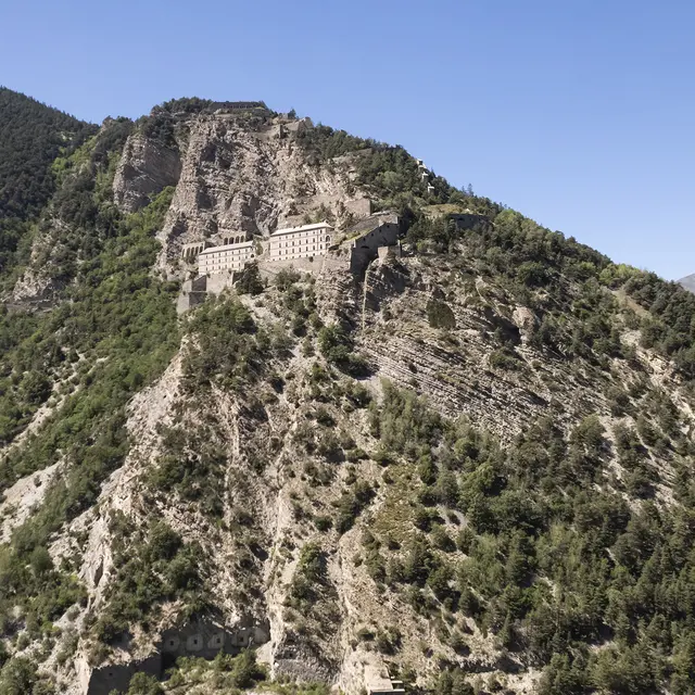
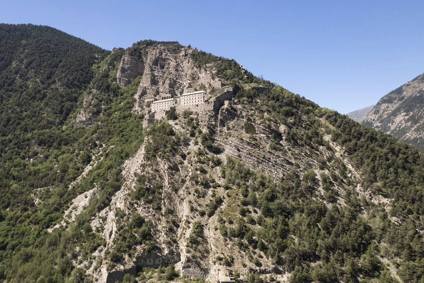
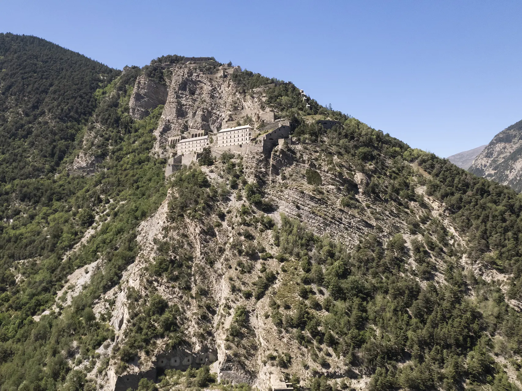
Today, Europe allows us to cross borders freely. But this has not always been the case. For centuries, the Alps were a natural obstacle and a major crossing point. This led to people wanting to protect themselves from their neighbours by building military defences and surveillance structures.
This sheet describes the 6-day Fortified Border route, which will allow you to discover almost all of the Ubaye fortifications.
Read more