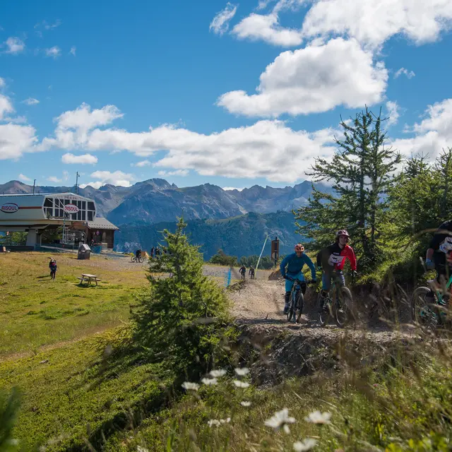
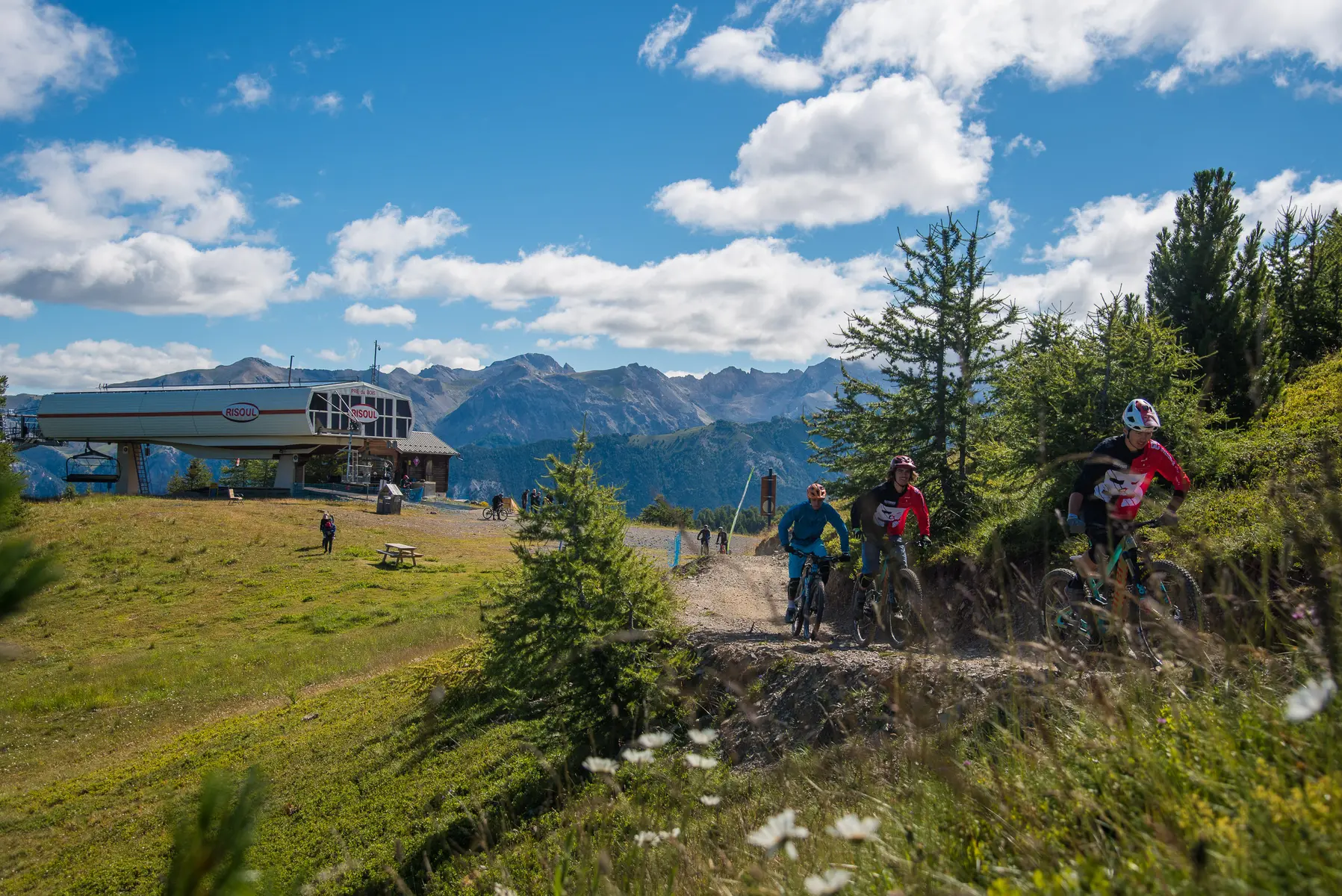
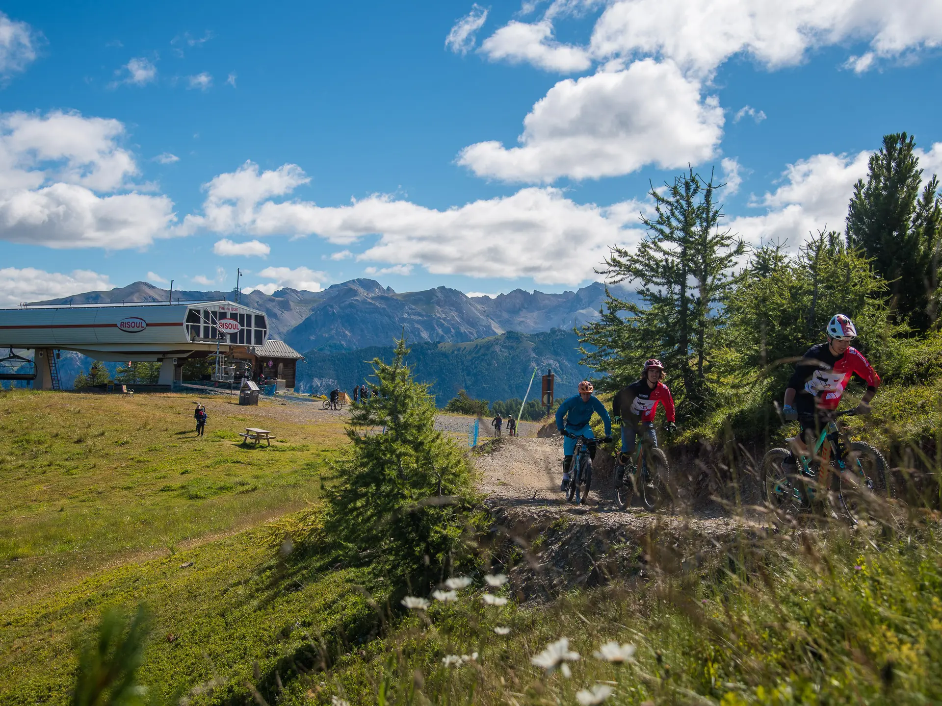
Level: Experienced mountain bikers
Start : Front de neige Risoul 1850
Finish : Front de neige Risoul 1850
This itinerary takes you to one of the major trails in the Guillestrois-Queyras region, the Martinat ridge. A ridge trail with panoramic views, this route is also great for piloting. After a break at the Lac du Pré du Laus, it enters a magnificent larch forest to reach the hot springs of the Pan de Phazy. The return journey takes the old Risoul road through the village of Isclasses, Risoul village, Gaudissart and the old alpine hamlets of Serre Gonthier and Pourrières. A loop for sporty contemplatives.
Read more