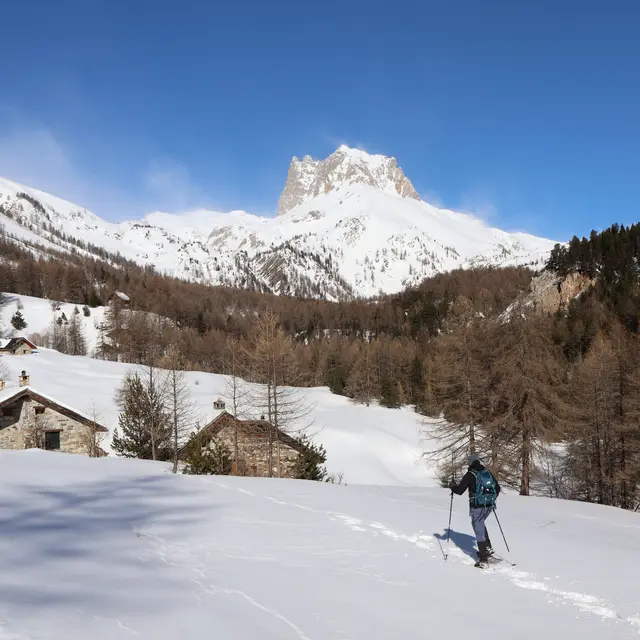
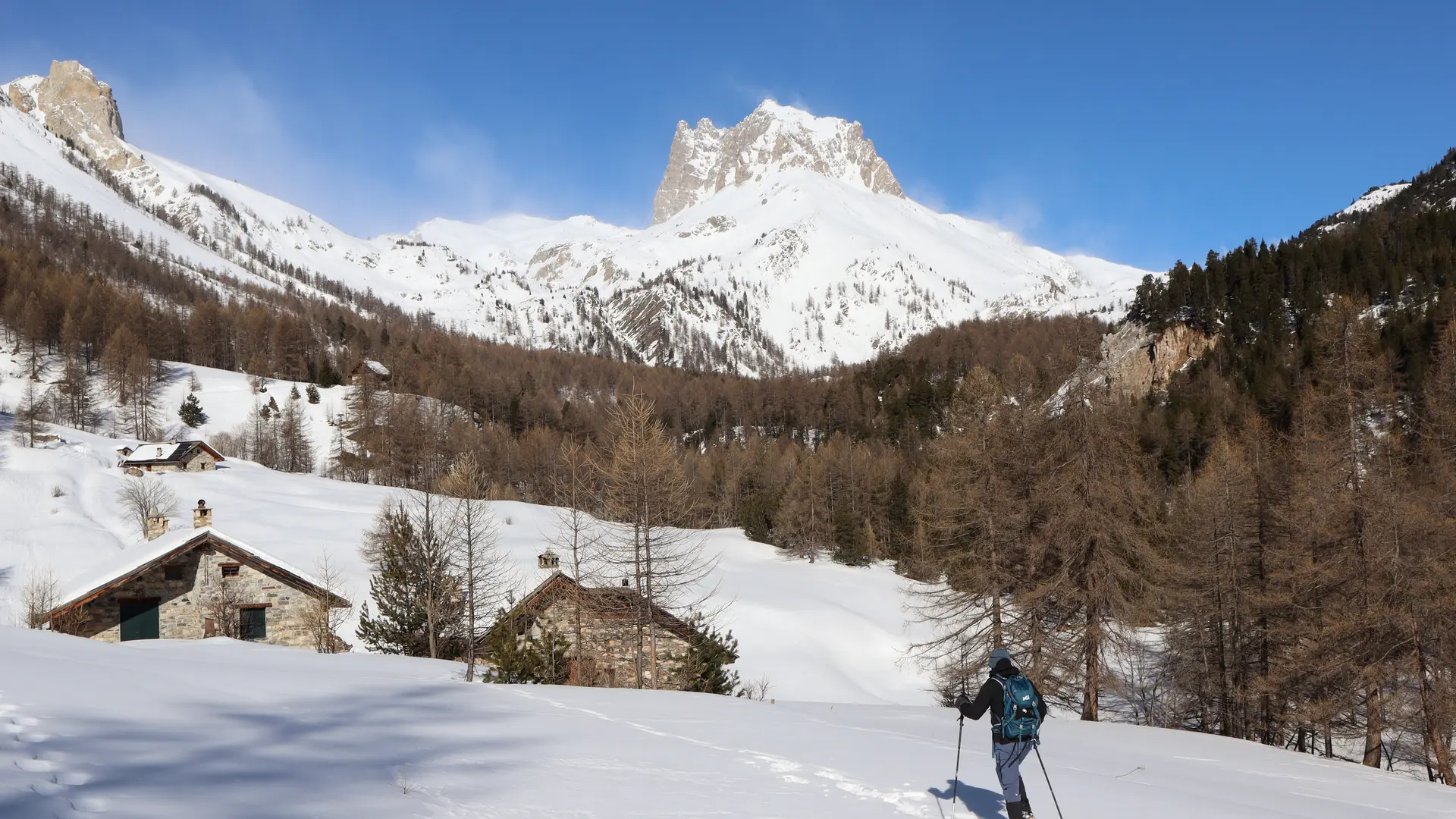
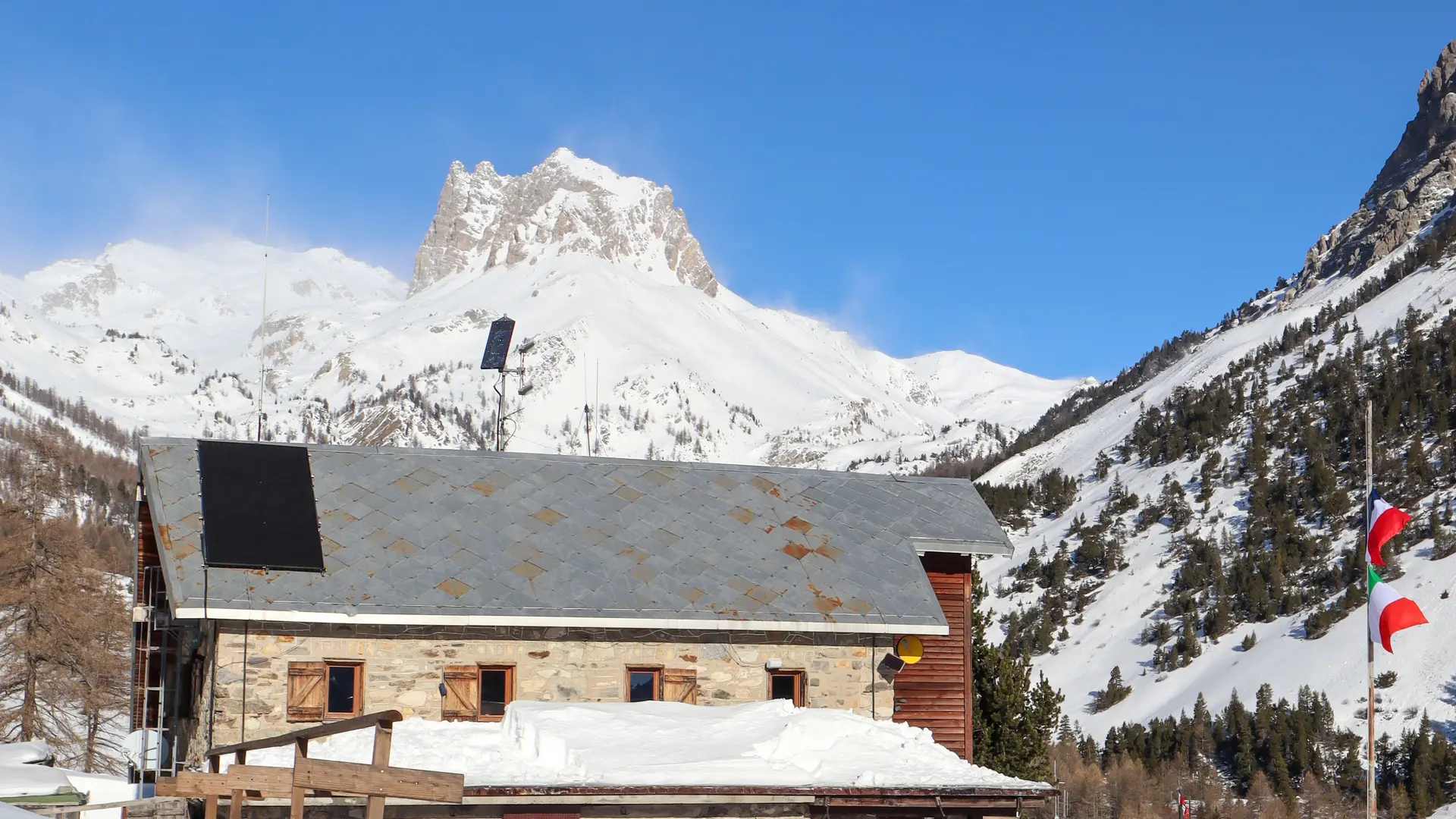
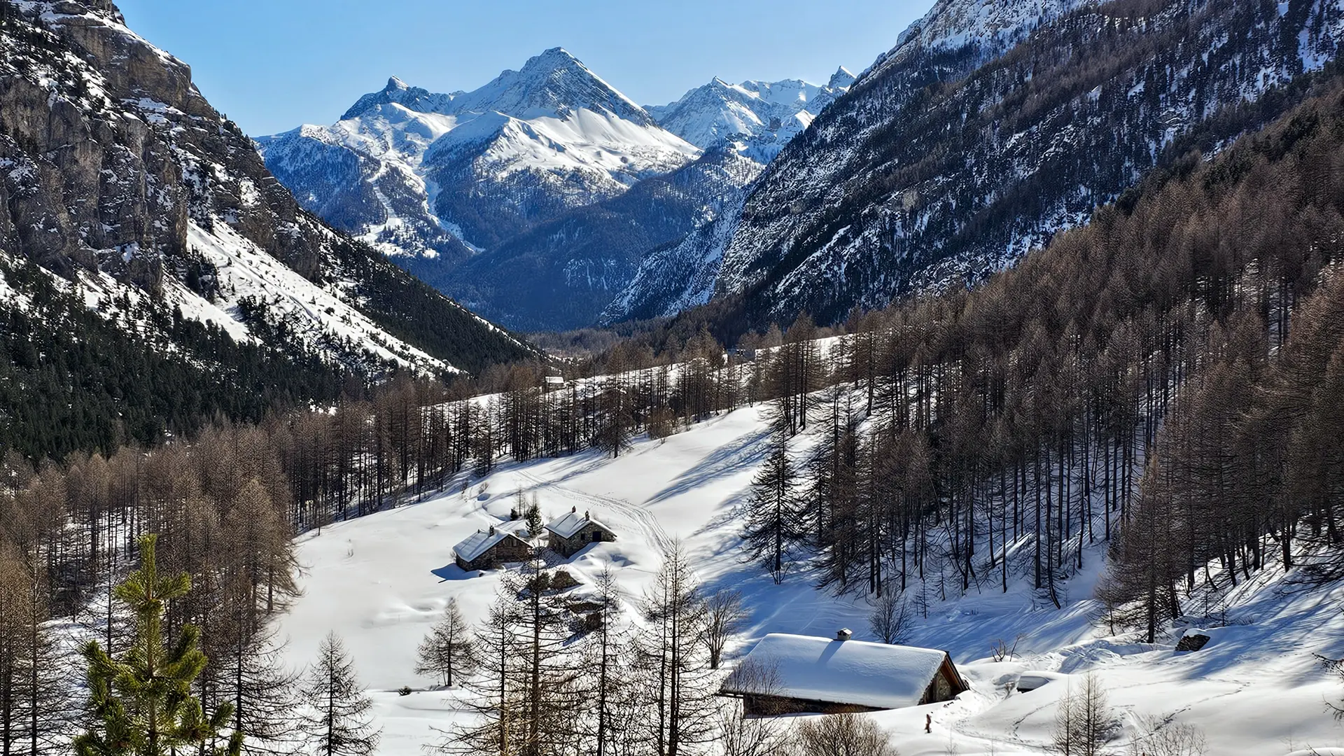
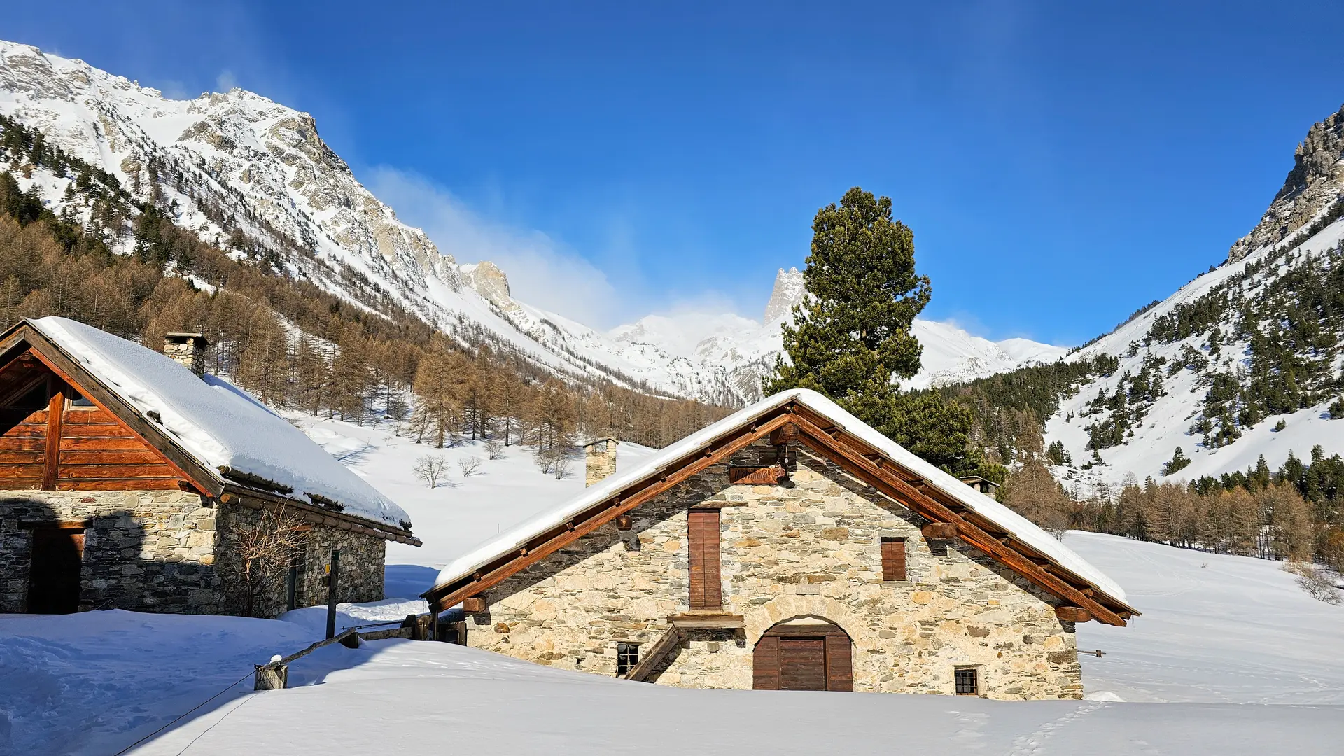
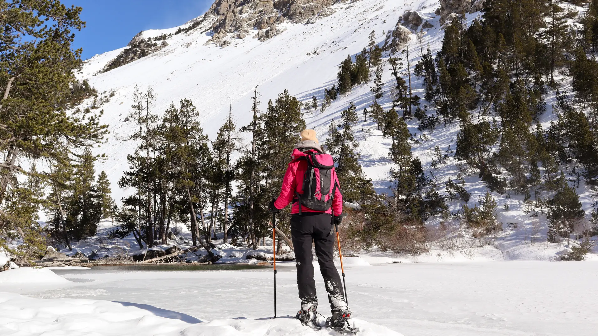
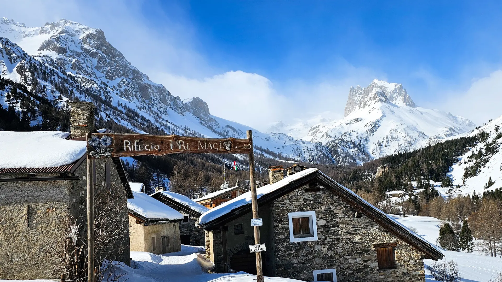
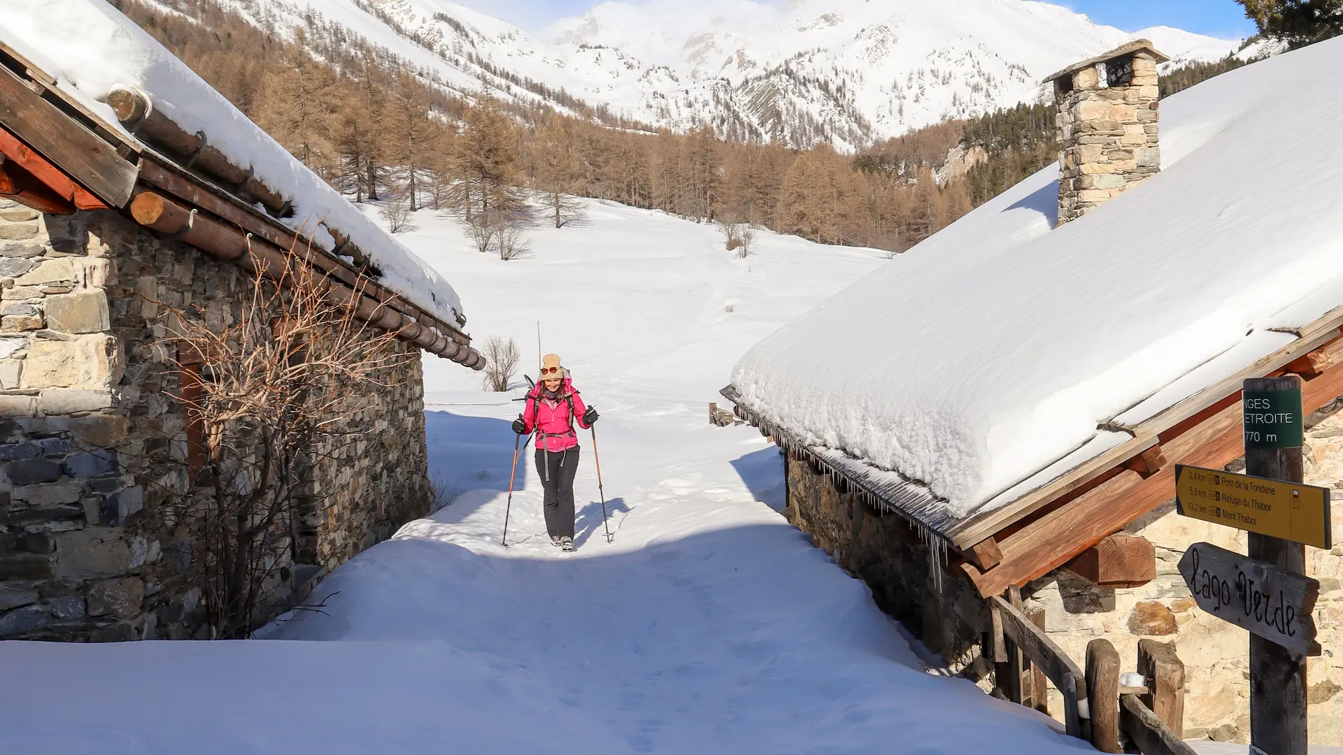
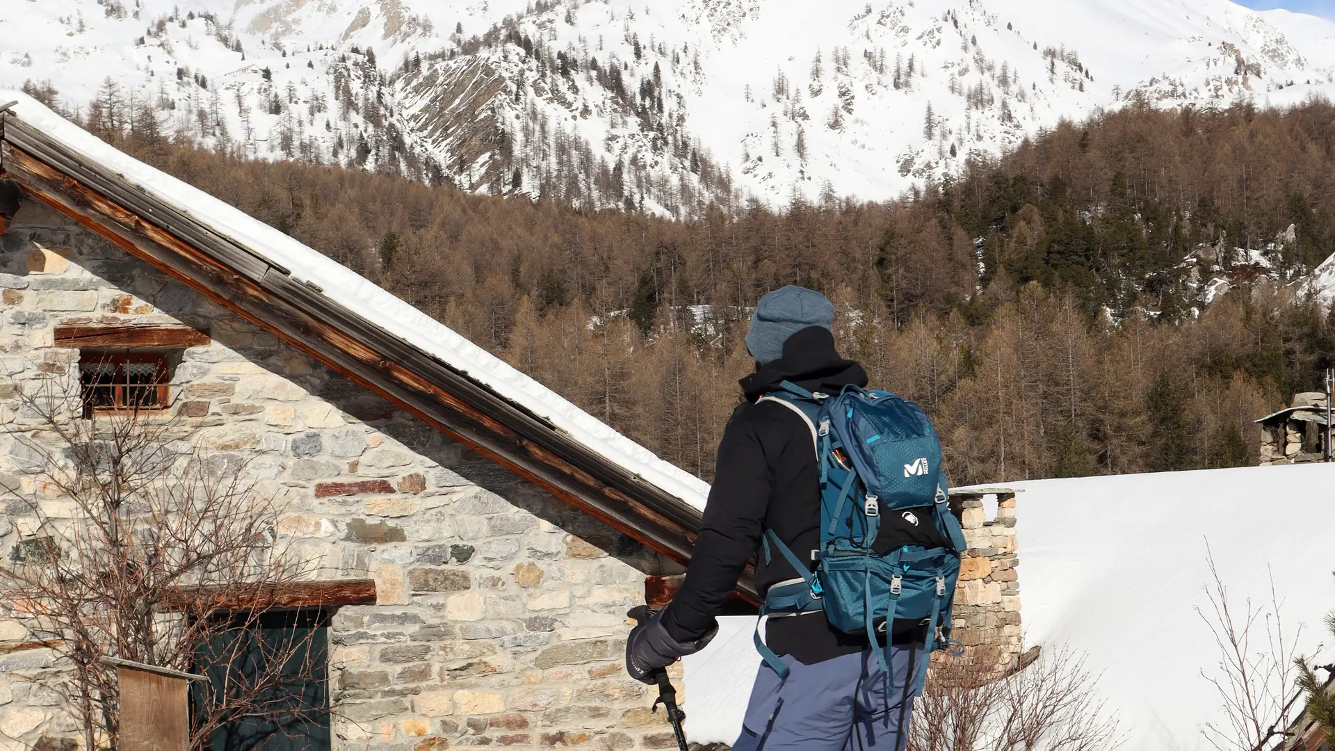
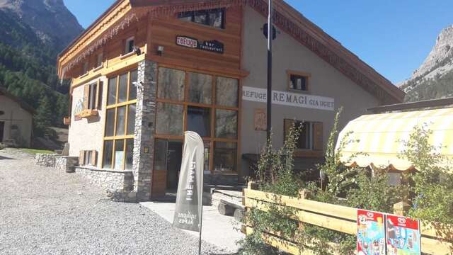
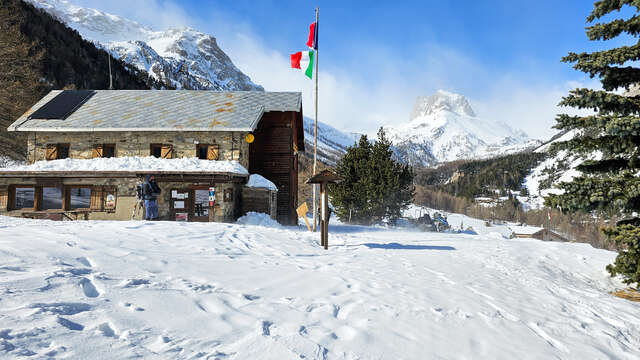
As soon as the first snow falls, the Terzo Alpini and I Re Magi refuges are accessible only by snowshoe or ski touring: an easy and pleasant ascent to the heart of the Narrow Valley, at the foot of the Magi peaks.
You may already be familiar with Vallée Étroite in summer, but in winter it's much harder to get to, and therefore much more peaceful too...
As the Col de l'échelle is closed to traffic in winter, access by car is via Bardonecchia, in Italy. At the end of the SP216 road, set off on foot along the track towards the Vallée Etroite barns. The trail winds its way up through the forest, along the torrent. Pointe Gaspard is on your right, while Paroi des Militaires rises to your left. After 4 km, you reach the refuges.
Return by the same route.
Warning: do not take the Col de l'Echelle road in winter.
Find out when the refuge is open and make sure you book in advance.
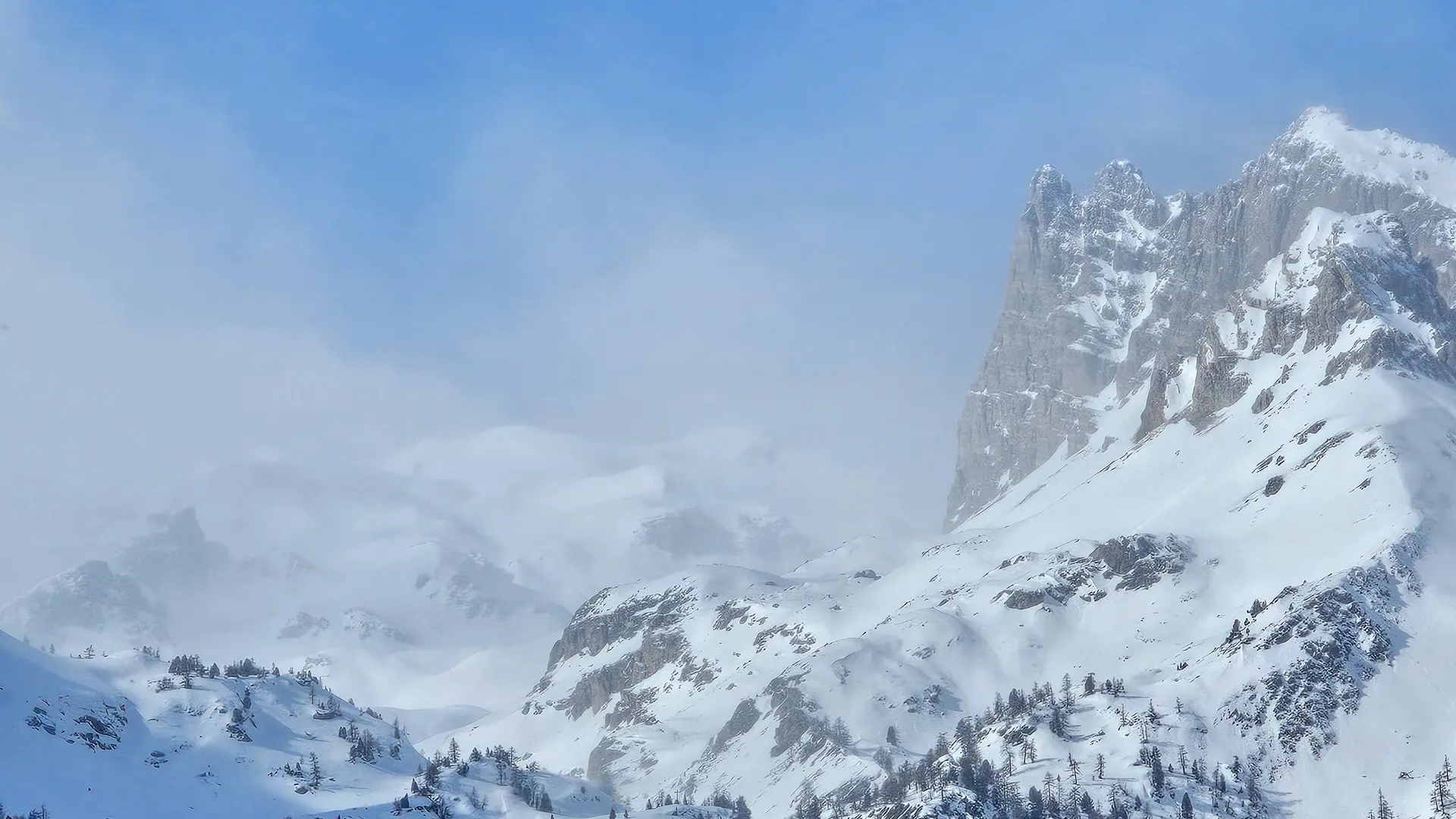
Remain vigilant: you must be aware of changing weather and snow conditions. The G.R. and other itineraries used in summer are not always the same as those used in winter - The right bank itinerary between Ville Haute and the Rately bridge is not recommended.
Stay alert to avalanche risks. Our mountain guides are there to guide you on this winter terrain, which they know well.