From the car park at the entrance to Tournoux, head north through the village, then turn right onto a downhill track.
After crossing a ford, the trail alternates between rises and flats until it reaches the top of the Mélezen hamlet.
Take the path on the left (steep climb) that links up with a new track.
Continue as far as the old Vallon Claous Battery (private property). Take the left-hand path around it.
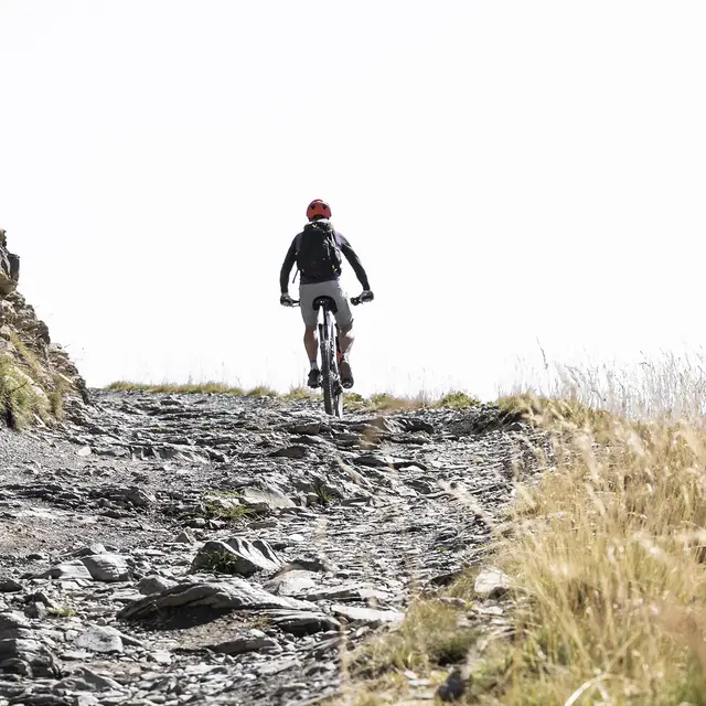
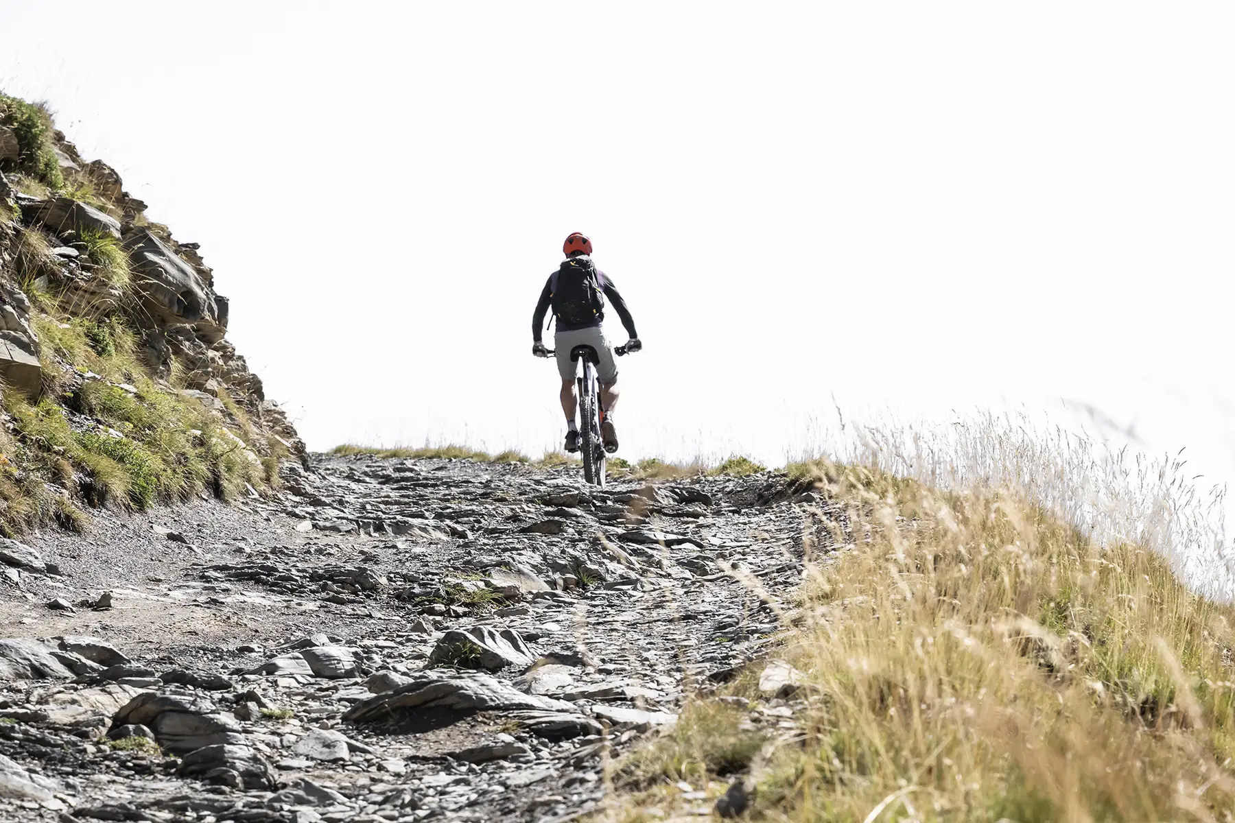
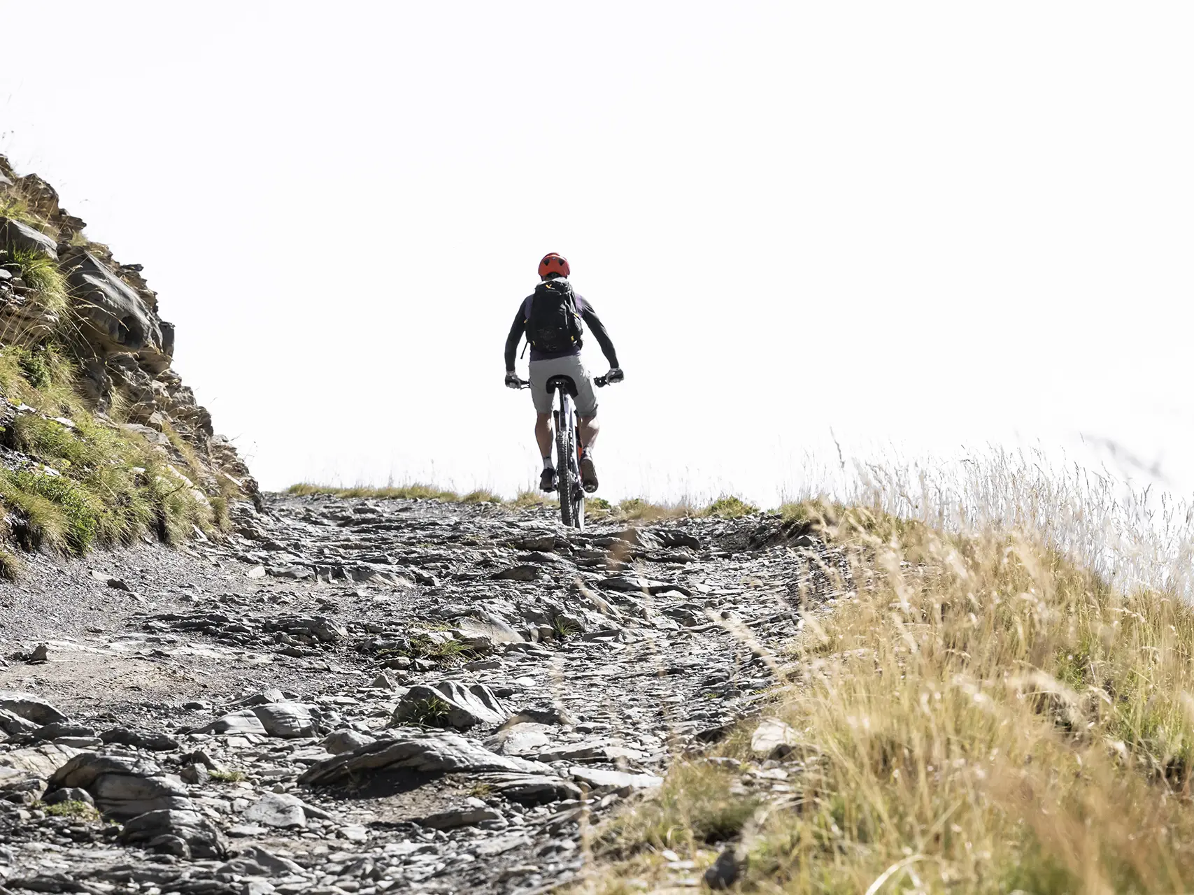
The descent begins here, with a series of technical bends on a magnificent path.
This leads back to the uphill track.
You can either turn left to go round again, or turn right and return along the same route.
Read more