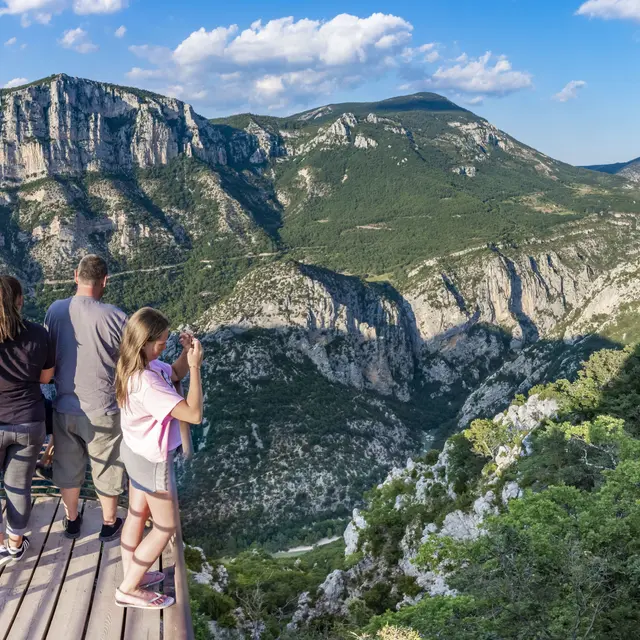
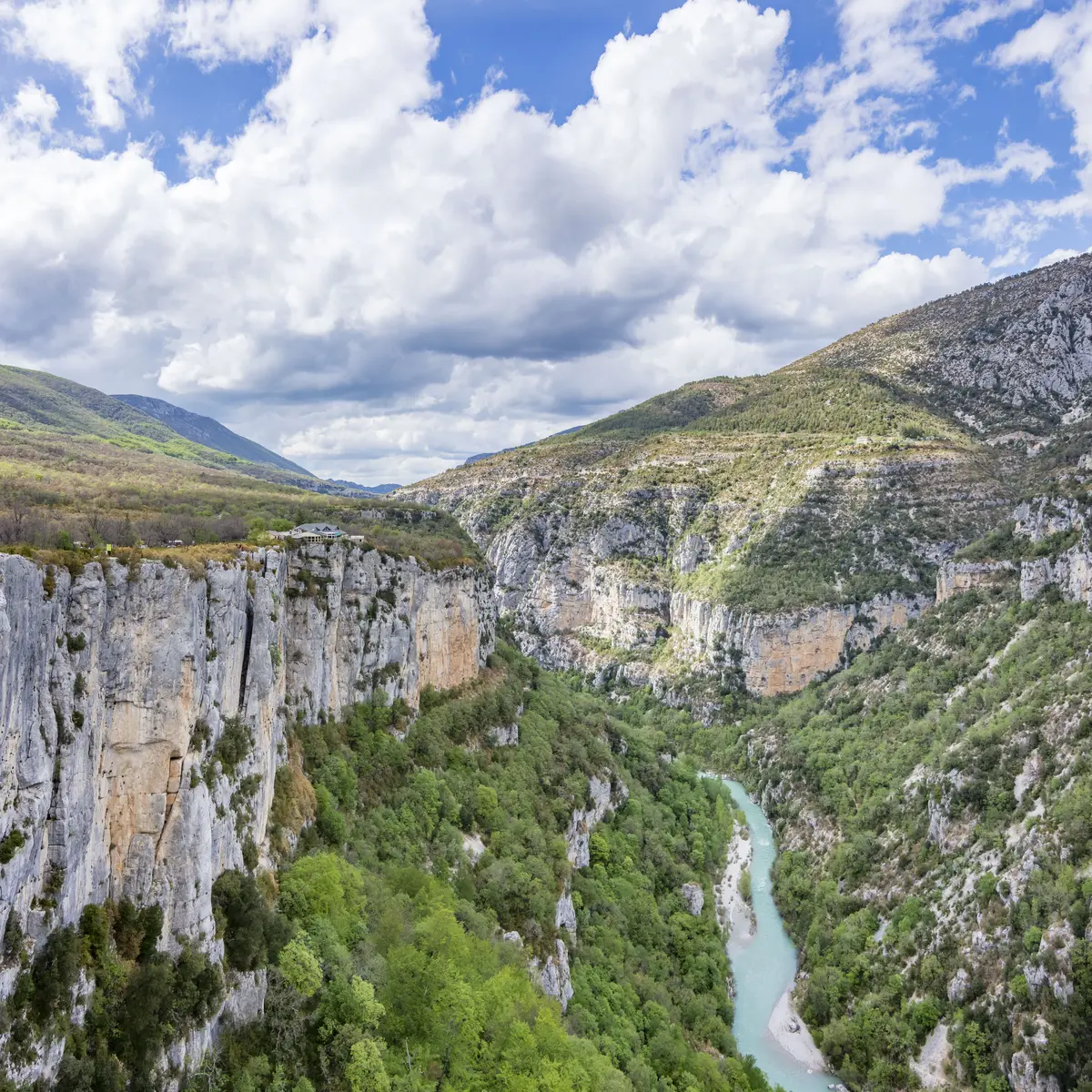
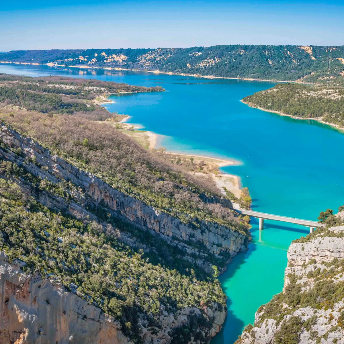
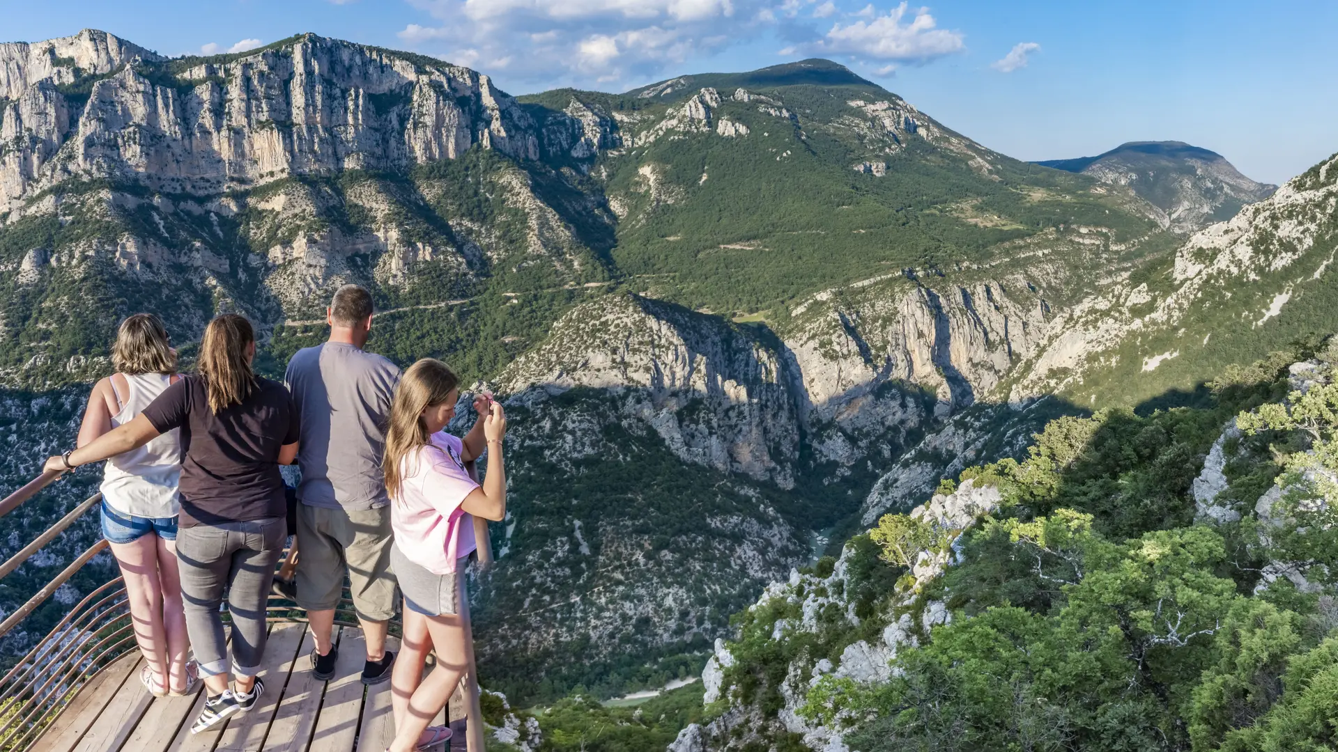
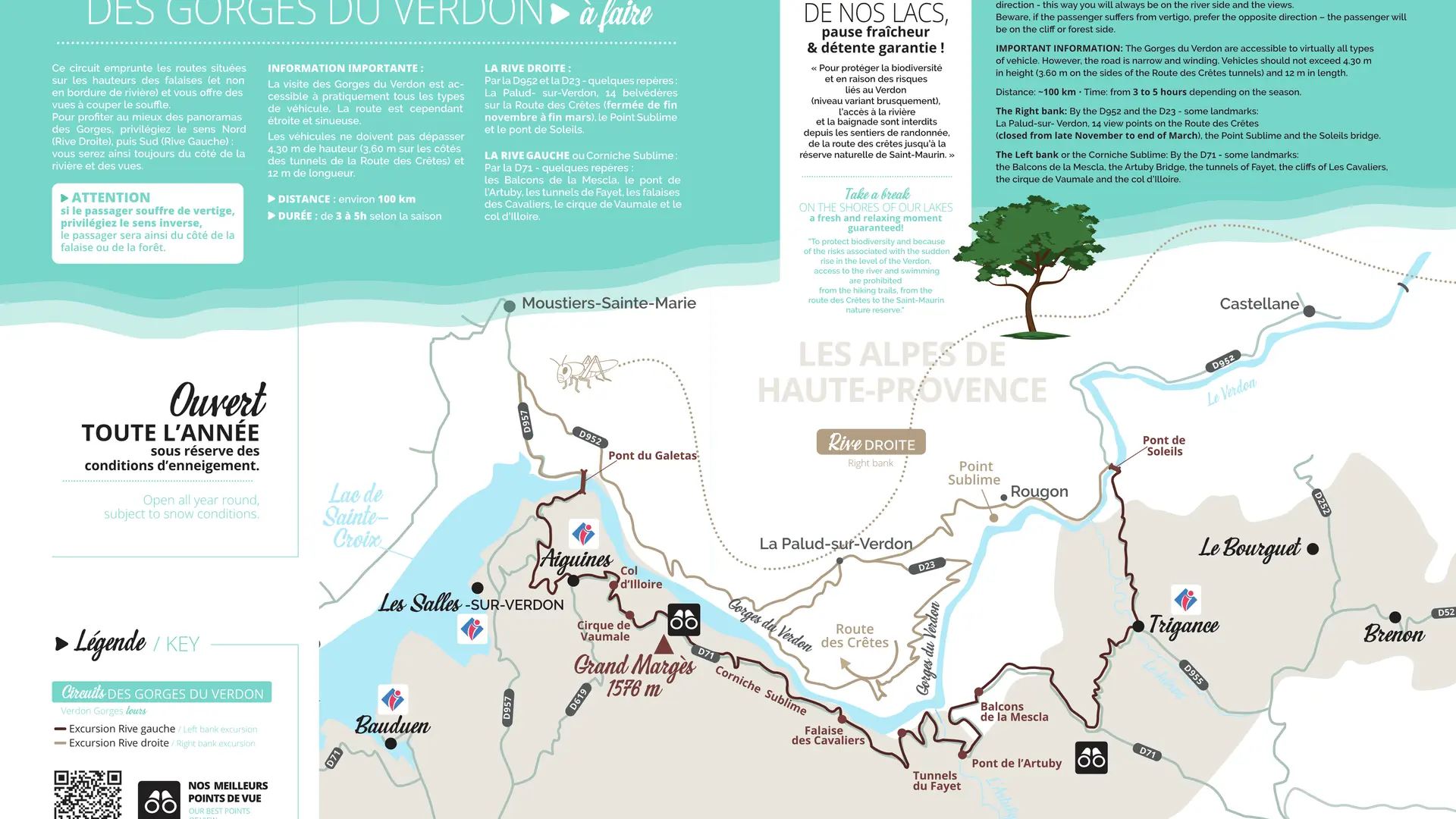
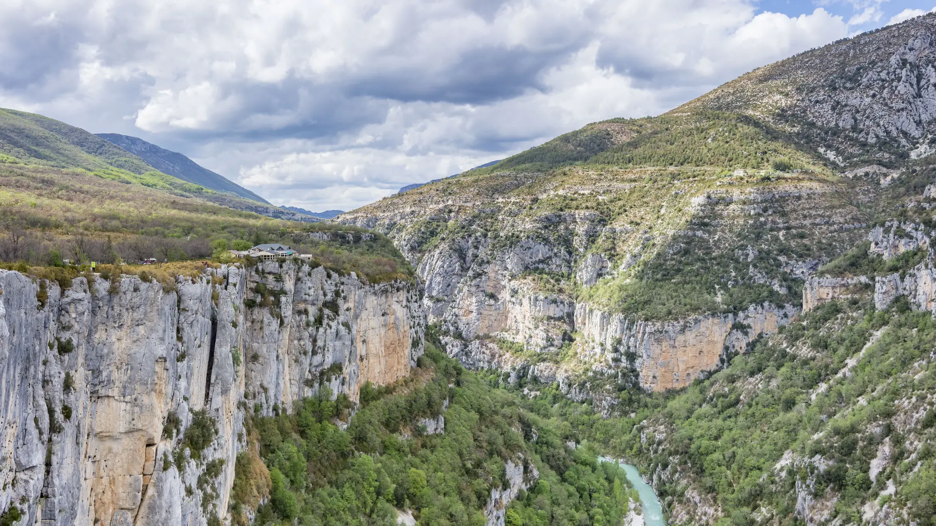
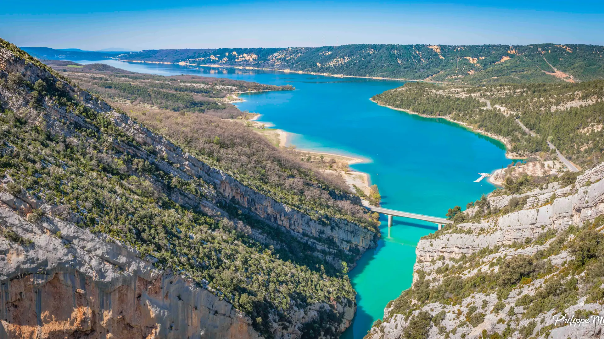
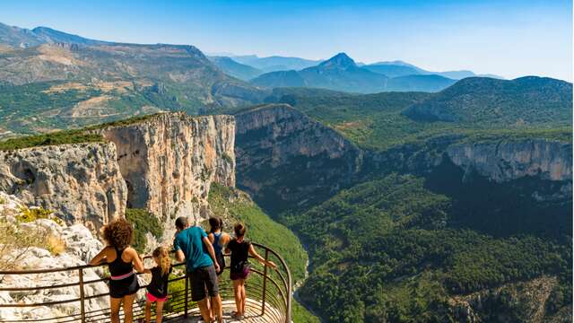
This route uses the roads high up on the cliffs (not along the river) and offers breathtaking views.
To make the most of the panoramic views of the Gorges, choose the North (Righ bank and Route des Crêtes), then South (Left Bank) direction: this way you will be always on the river side aand the views.
Beware, if the passenger suffers from vertigo, prefer the opposite direction - the passenger will be on the cliff or forest side.
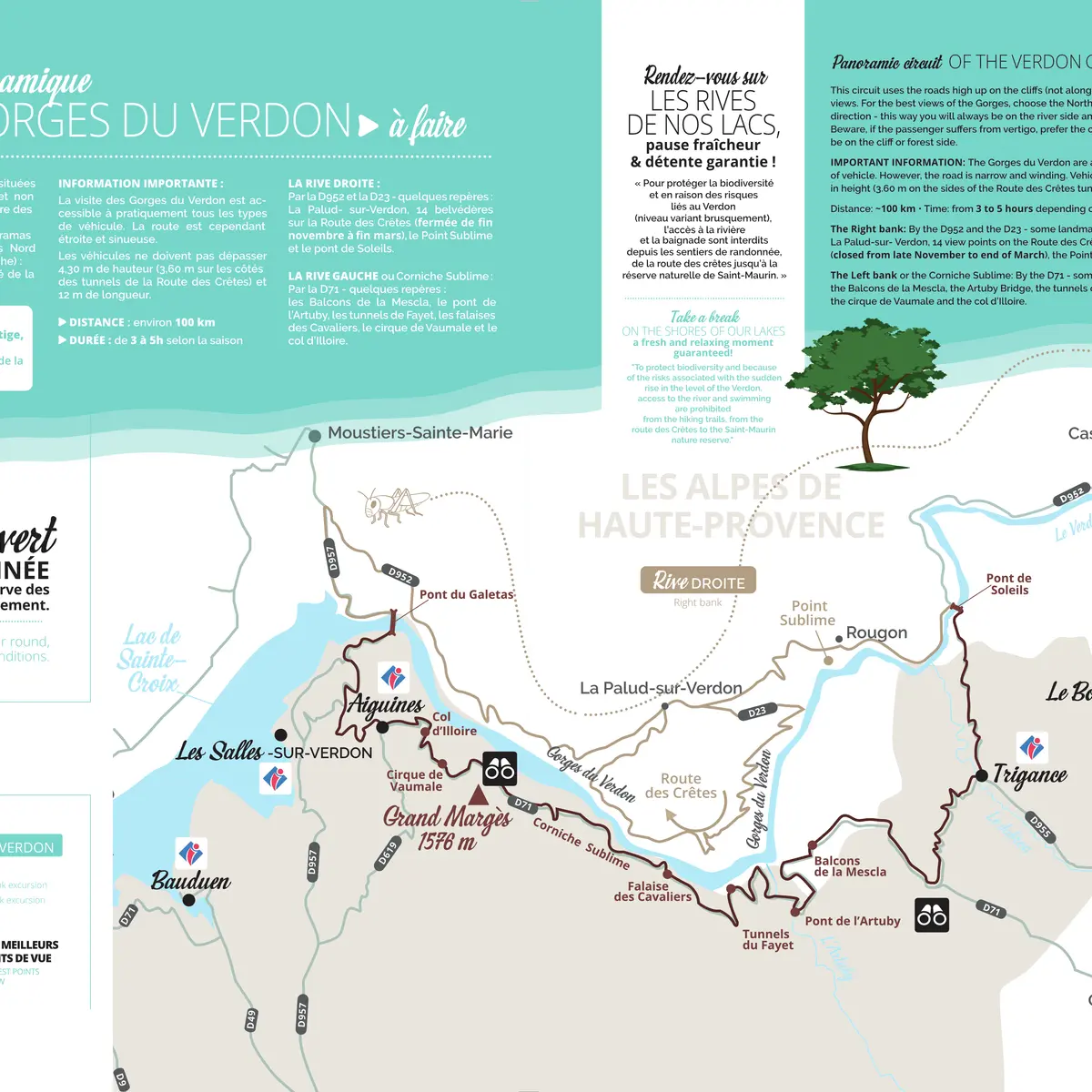
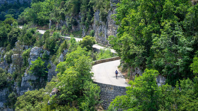
A visit to the Verdon Gorge is accessible to practically all types of vehicle. However, the road is narrow and twisty. Vehicles must not exceed 4.30 m in height (3.60 m on the sides of the Route des Crêtes tunnels) and 12 m in length. Drive well to the right and signal your presence (horn) in tight, blind bends.
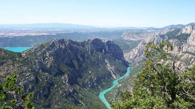
The Right Bank: By the D952 and D23 with some landmarks: La Palud-sur-Verdon, 14 view points on the Route des Crêtes, the Point Sublime and the Soleils bridge.
The Left Bank or Corniche Sublime: By D71 with some landmarks: the Balcons de la Mescla, the Artuby bridge, the Fayet tunnels, the Cavaliers cliffs, the Vaumale cirque and the col d'Illoire.
Read more
Plain text period
All year round daily.
The Route des Crêtes is closed from the end of November to the end of March.