- Voir les favoris
Verdon - Issole - Espace Cyclosport
Sport, Cycling sports, Cycle tourism route
in Saint-André-les-Alpes
39.3
km
2h
Medium
-
Leaving from Saint-André-les-Alpes, an easy and very pleasant loop along the river.
-
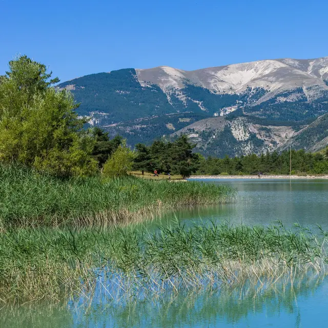
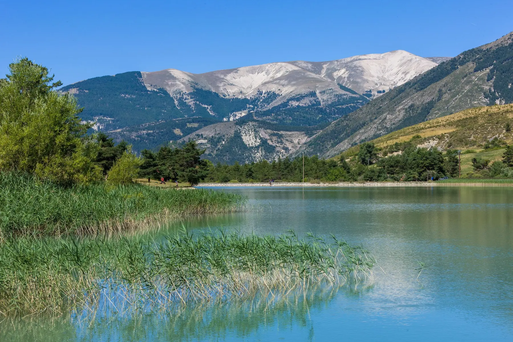
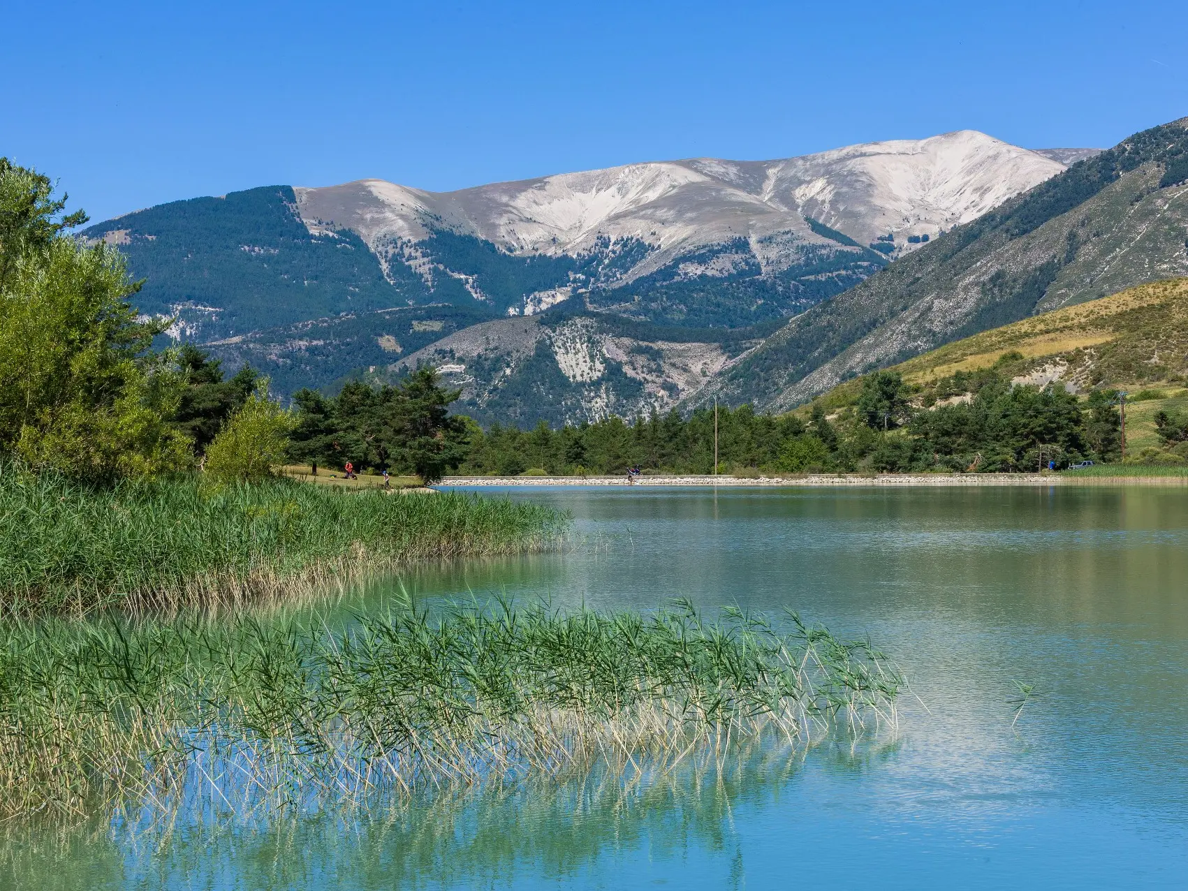
It is the junction between the Haut-Verdon and the Issole valley, which flows peacefully through pine trees, state-owned forests and pastures in Thorame. At Thorame - Haute, turn left onto the D2 departmental road, through the Issole valley. Between Thorame-Haute and Thorame-Basse, the route skirts Lac des Sagnes, a superb bamboo-lined lake. The route is peaceful and short, making it ideal for electric-assist bikes.
Counterclockwise is best
- Departure
- Saint-André-les-Alpes
-
-
Difference in height
- 901.171 m
-
-
-
Spoken languages
-
-
-
Documentation
- GPX / KML files allow you to export the trail of your hike to your GPS (or other navigation tool)
-
-
-
Accepted customers
-
- See all reviews
- 901 meters of difference in height
-
- Maximum altitude : 1165 m
- Minimum altitude : 897 m
- Total positive elevation : 901 m
- Total negative elevation : -902 m
- Max positive elevation : 61 m
- Min positive elevation : -83 m
