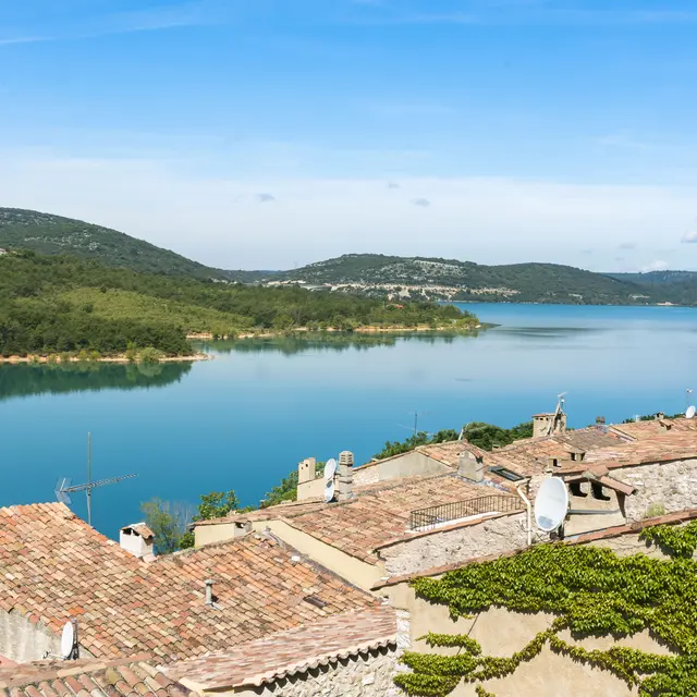
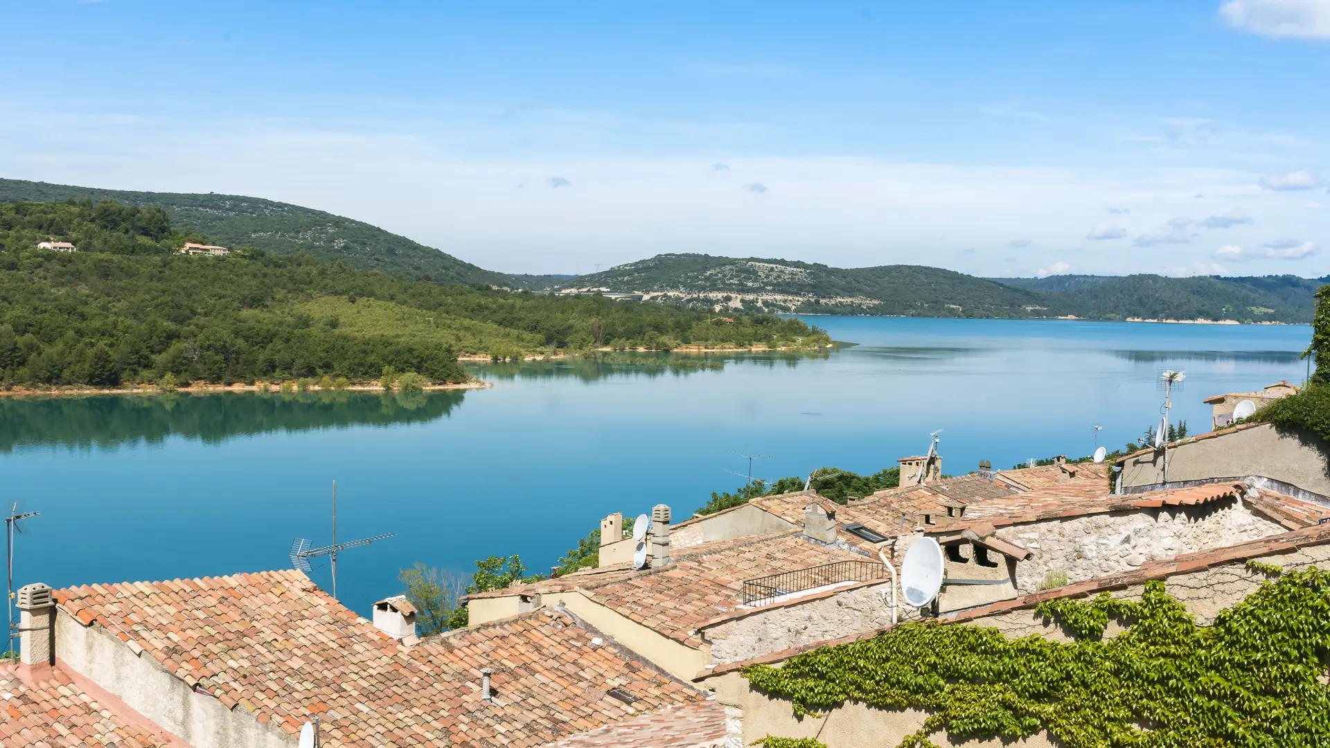
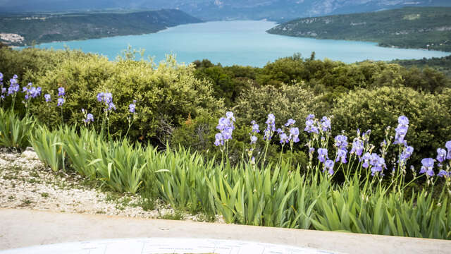
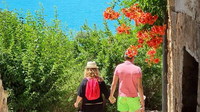
The Véris trail could be called the trail of the senses, both your eyes and your sense of smell will be put to the test. You will discover a rich and varied vegetation, the smells of aromatic plants, without forgetting the view of the blue waters of the lake.
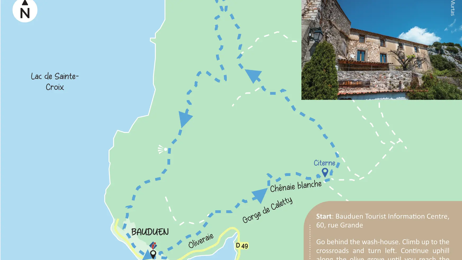
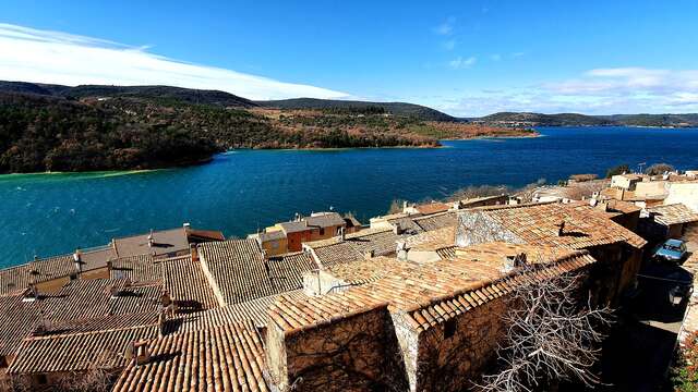
Go behind the wash-house. Climb up to the crossroads and turn left. Continue uphill along the olive grove until you reach the forest barrier. After a bend, the track becomes slightly steeper. Follow the track as far as the intersection of 4 paths (firewater tank), then turn left onto chemin de Véris. Reach a crossroads after 1 km. Leave the path on the left and continue on the right until you reach a clearing. At the large pine tree, turn left and reach the limestone plateau via the lapiaz passages. Continue straight ahead until you reach the arrow sign. Follow ‘’Sainte-Anne / Bauduen’’ to the left. Take the path that goes down through oaks, pines and broom. Reach a passage between the rocks. Continue along the path to the foot of the hill, then reach a concrete path. At the road, walk along the communal gardens of Bauduen on the right and follow till the pétanque’s court. Follow straight on to the Bauduen Tourist Information Centre, your starting point.
To see the hike on the map, click here: https://shorturl.at/AJ0SF
Read more
Plain text period
All year round daily.
Before hiking, check whether access to forest areas is authorised: https://www.risque-prevention-incendie.fr/var/.