Start from Chemin de la Trinité. The path soon climbs steeply.
You then reach the departmental road to Puy-Saint-Pierre: turn right and continue straight ahead on the asphalt road towards Les Queyrelles.
Cross the hamlet between the houses, and the slope remains steep. A small dirt track rises just ahead: this is the Chemin de Serrignon.
At the exit, turn right onto the path to the pestiferous cemetery: another steep climb through the trees, before joining a gentler path, still on the right, with a superb view of Briançon.
Pass under the cables of the Prorel gondola and, in the next hairpin, go completely left on a path.
You're back on the Puy-Saint-Pierre road: turn right, walk ten metres, cross the road, then turn left again onto a damp path.
Approx. 300 m further on, the road intersects the departmental road. Keep to the right, leaving the village on your left, and continue uphill on an asphalt road that can be quite steep.
At a hairpin bend, turn right onto a small path that leads to the Pralong farm (fresh produce sales). Pass between the farm and the Pralong gondola arrival station.
Go straight up on a damp path, cross a track for about 100 m, then turn right towards a small oratory (there are several more after this, about a dozen). The route sometimes crosses ski slopes. You arrive above the Serre Pelat ski lift.
Be careful to turn right towards Le Lauzet and a new oratory. The slope becomes less steep to cross a beautiful lawn leading to the Bon Rencontre oratory. Note the spring just in front of the building. Turn left to join a track for 400 m. Don't miss the path on the left that leads to the Saint-Hubert oratory.
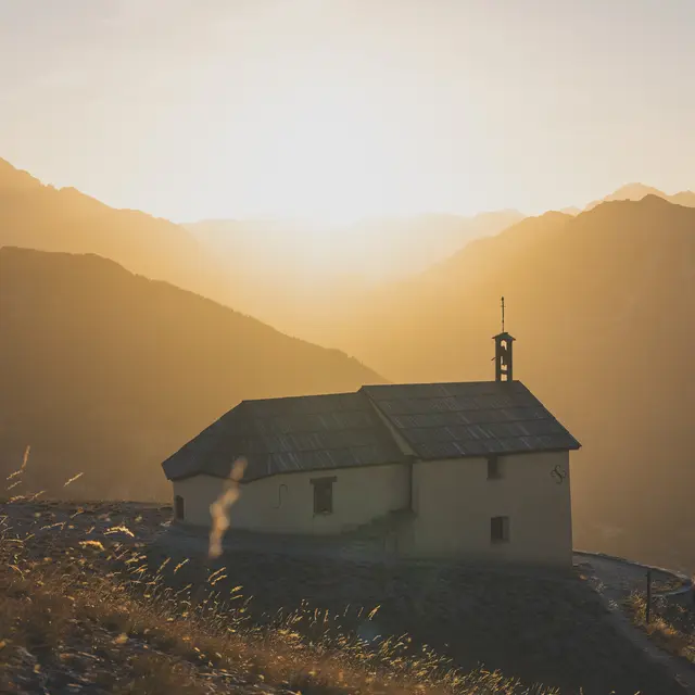
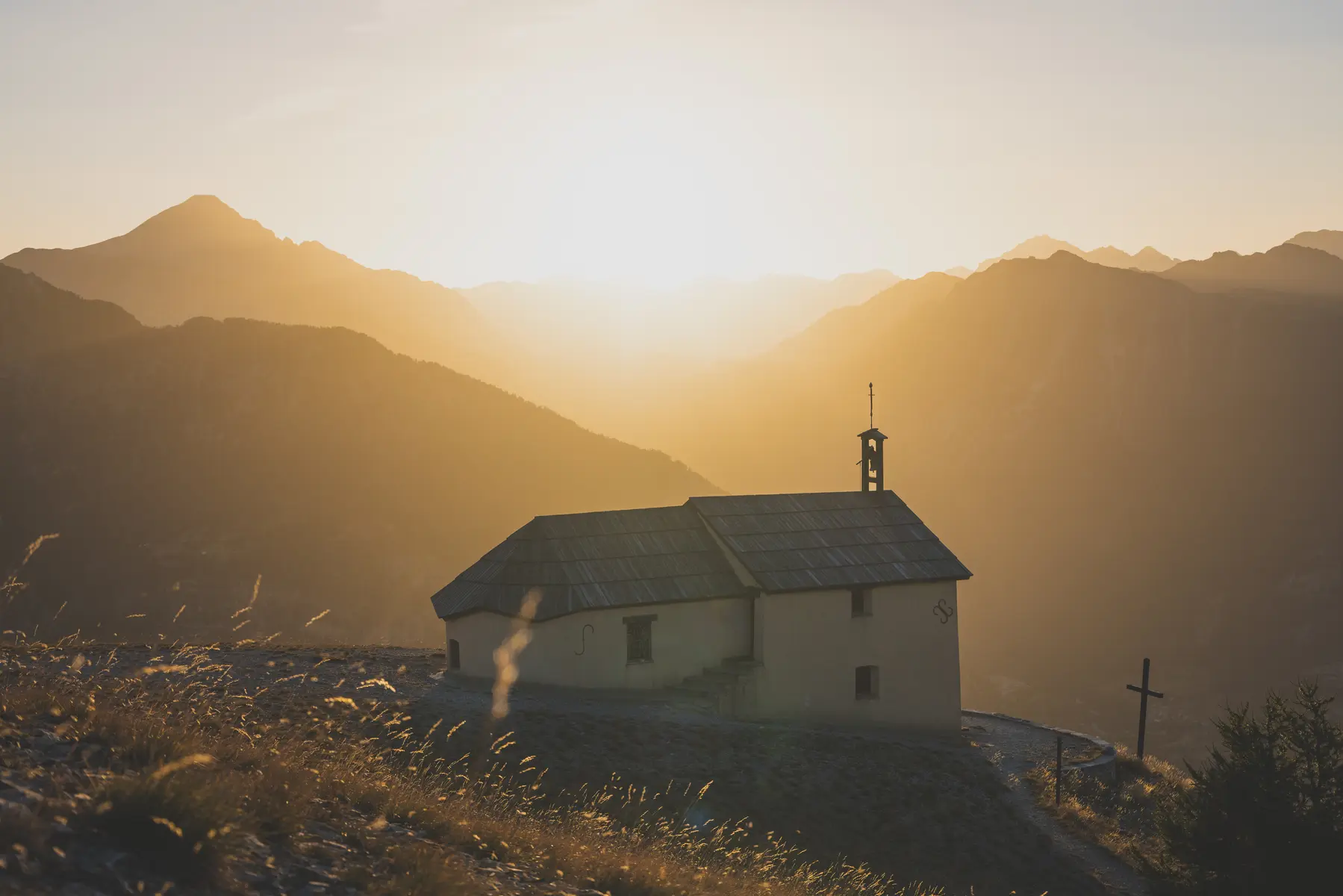
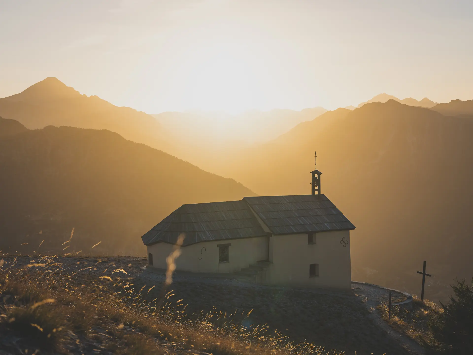
There's a short flat stretch here, before the last three switchbacks below the chapel: undoubtedly the most difficult section, on a stony path. The last twenty meters are almost flat all the way to the chapel. Up there, a panoramic view of Briançon and the surrounding area. You can visit the chapel (don't write your time in the guest book, there's a Courir en Briançonnais website for that).
Of note: a watering hole five minutes behind the chapel, downhill on the right, in a small grassy combe where marmots can sometimes be seen.
You can also climb to the top of Le Prorel (around 40 minutes for superb views over the Guisane valley), or take the gondola back down in summer.
Read more