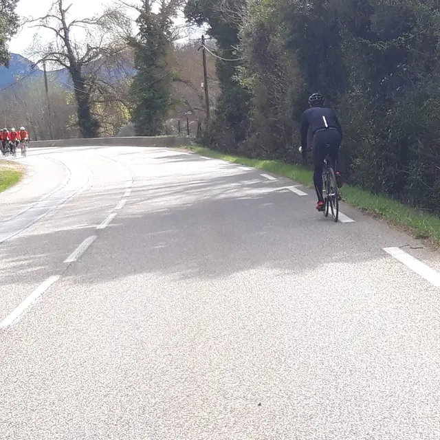
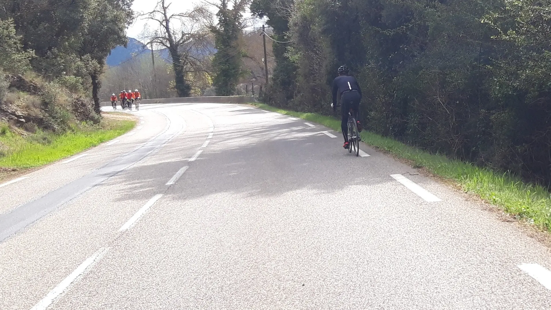
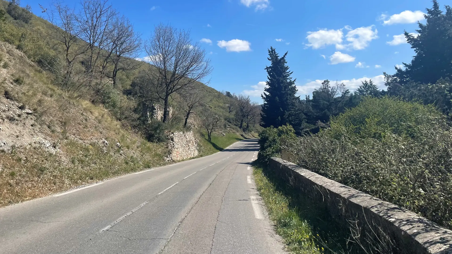
See photos (2)

Villages de Provence

Sport, Cycling sports, Cycle tourism route in Saint-Savournin
Unresolved hours
35.3 km
1h 30min
Very easy
  • Pretty Provencal villages and small country roads make up the bulk of this itinerary, which is not very difficult.

  • Departure
    Saint-Savournin
  • Difference in height
    773.854 m
  • Plain text period
    All year round.

    Subject to favorable weather.
  • Environment
    • Panoramic view
    • In the country
  • Spoken languages
    • French
  • Documentation
    GPX / KML files allow you to export the trail of your hike to your GPS (or other navigation tool)
774 meters of difference in height
Created with Highcharts 6.2.0Distance (km)Altitude (m)0 km2.5 km5 km7.5 km10 km12.5 km15 km17.5 km20 km22.5 km25 km27.5 km30 km32.5 km35 km150 m200 m250 m300 m350 m400 m450 m500 mHighcharts.com
  • Maximum altitude : 470 m
  • Minimum altitude : 188 m
  • Total positive elevation : 774 m
  • Total negative elevation : -774 m
  • Max positive elevation : 134 m
  • Min positive elevation : -157 m
Services
  • Equipment
    • Parking nearby
Close