La Combe Obscure N°10

VTT n°10 - La Combe Obscure

Sport, Cycling sports, Mountain biking itinerary in Malijai
Unresolved hours
12.9 km
1h 30min
Very difficult
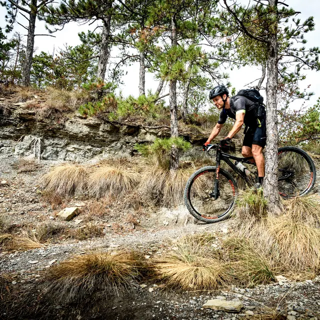
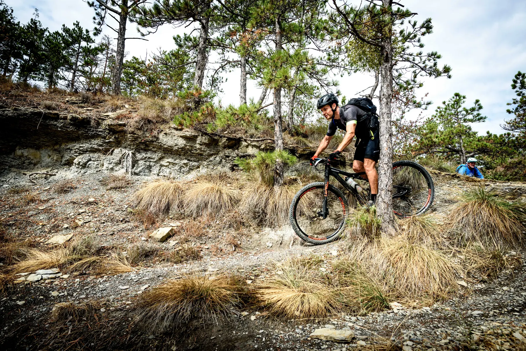
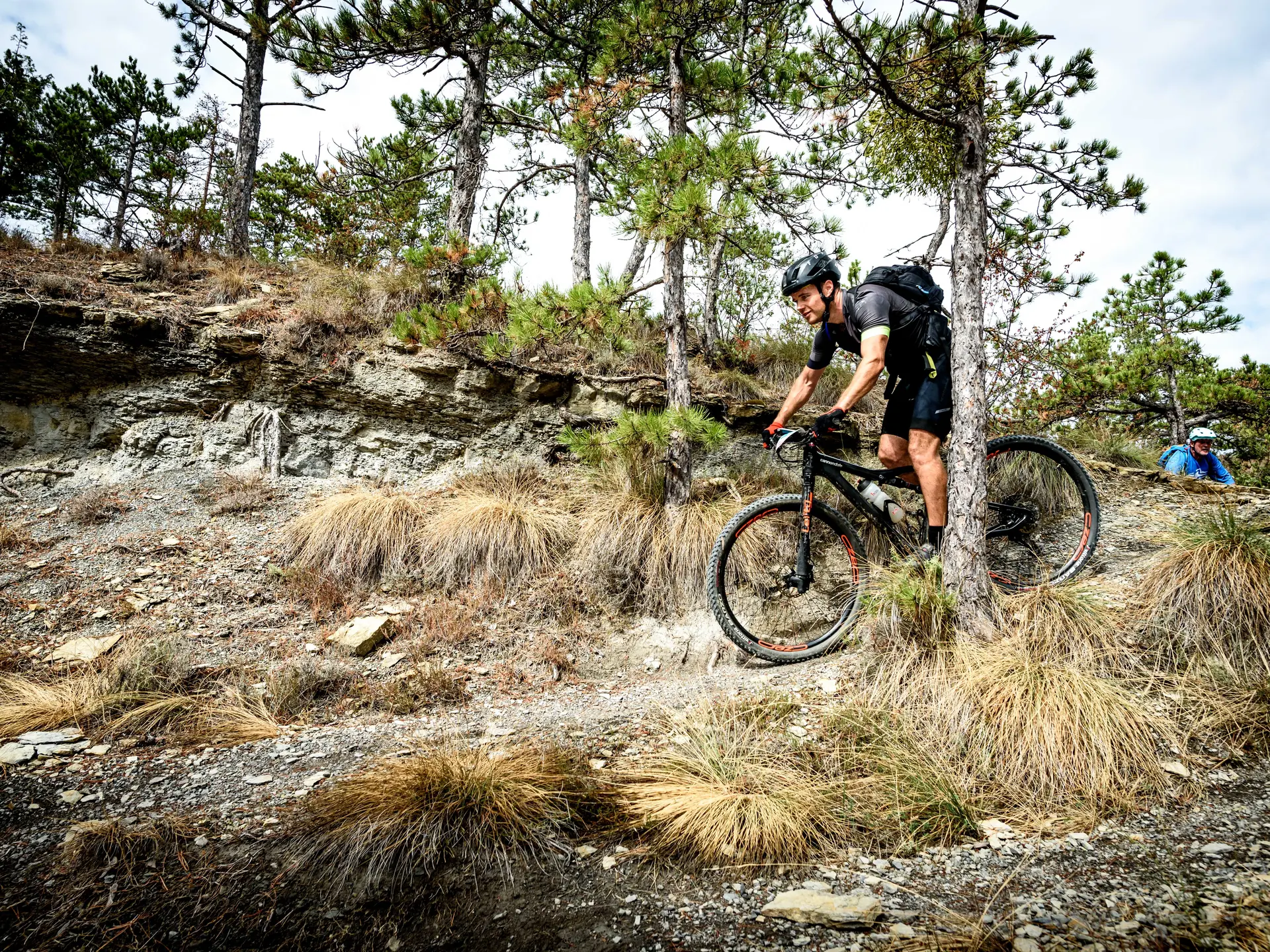
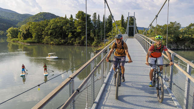
  • The start of the route is on a tarmac road with a steep gradient, guaranteed to wake up your muscles! After the small district of St Bonnet, a path will take you to the highest point of this climb. A nice descent will bring you back to the starting point.

  • From the Malijai castle, the route quickly takes you on a tarmac road with a steep slope that will definitely warm your legs! Then take a path that winds through the oaks, you will continue downhill on a long, very playful path until you reach the departmental road. A second tarmac climb to the start of the Combe Obscure valley. Facing north, it is always a cool place in summer, a pretty descent at the bottom of the valley takes you back to the village.
  • Departure
    Malijai
  • Difference in height
    481.333 m
  • Plain text period
    All year round.
  • Environment
    • Forest location
  • Spoken languages
    • French
  • Documentation
    GPX / KML files allow you to export the trail of your hike to your GPS (or other navigation tool)
481 meters of difference in height
Created with Highcharts 6.2.0Distance (km)Altitude (m)0 km1 km2 km3 km4 km5 km6 km7 km8 km9 km10 km11 km12 km400 m450 m500 m550 m600 m650 m700 m750 mHighcharts.com
  • Maximum altitude : 694 m
  • Minimum altitude : 430 m
  • Total positive elevation : 481 m
  • Total negative elevation : -481 m
  • Max positive elevation : 258 m
  • Min positive elevation : -126 m
Services
  • Equipment
    • Free car park
    • Car park
    • Pay car park