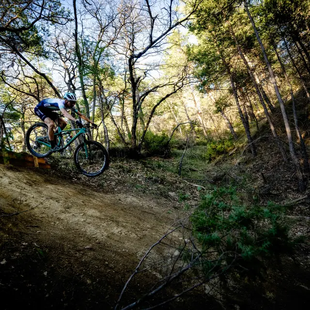
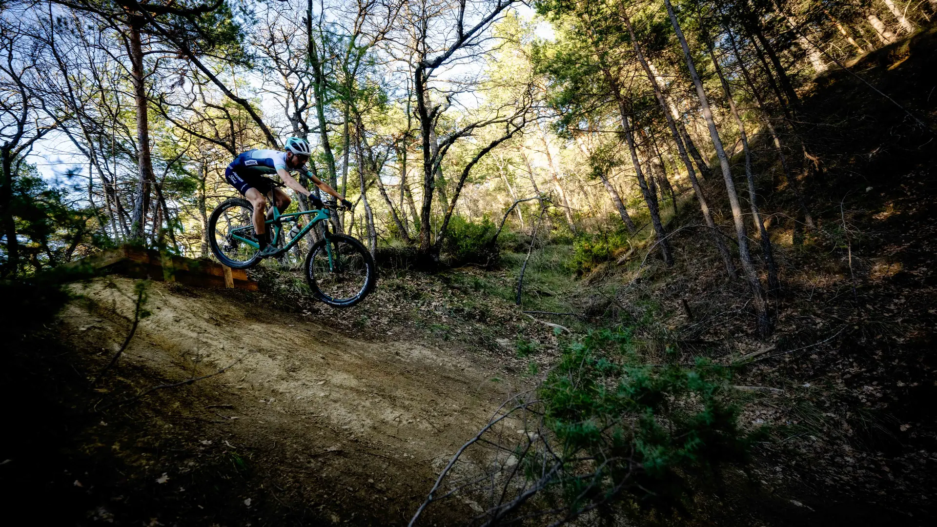
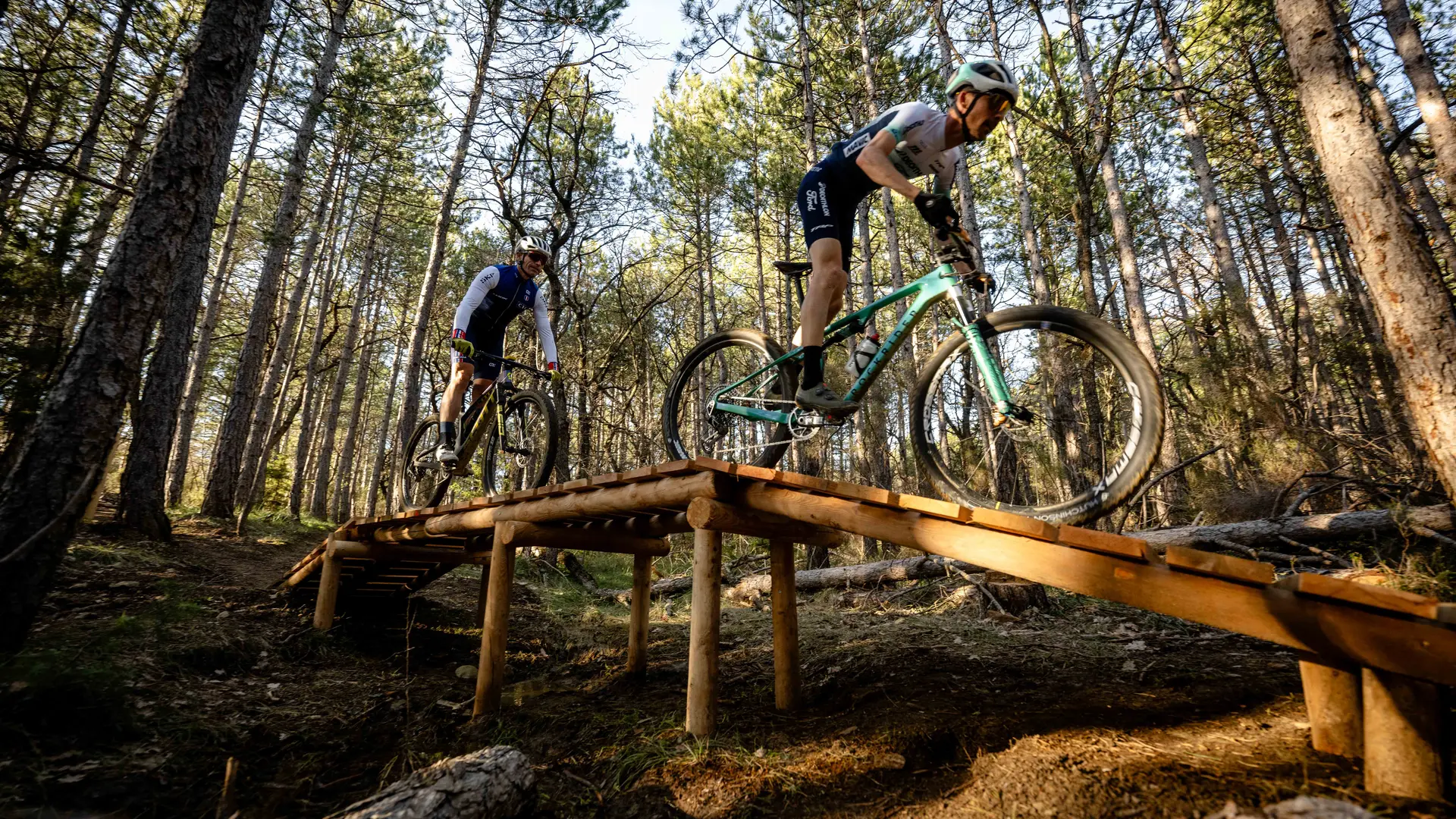
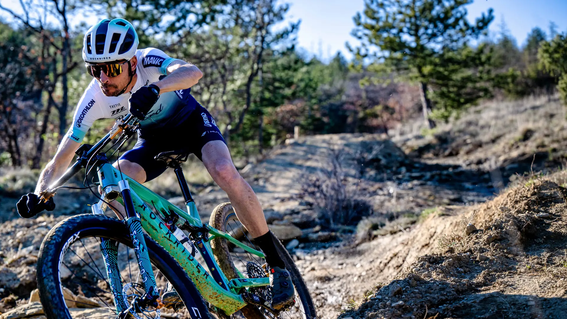
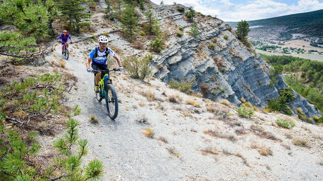
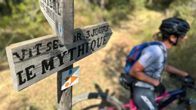
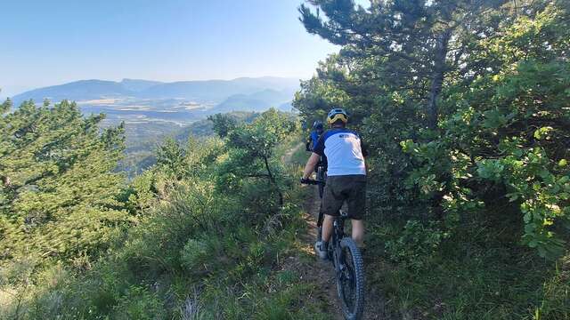
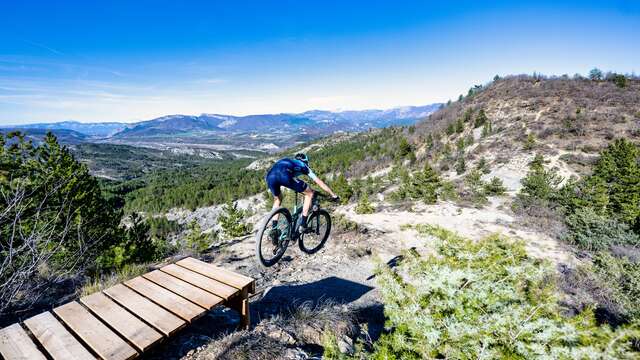
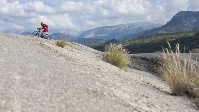
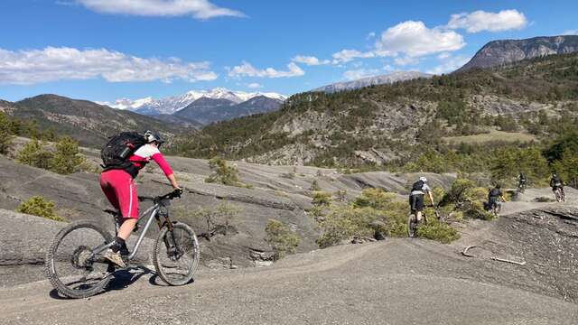
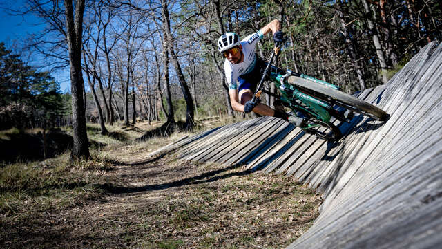
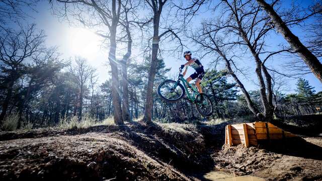
See photos (6)

VTT n°14 - Enduro des Amarines

Sport, Cycling sports, Enduro itinerary in 
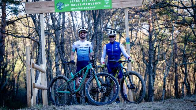
Château-Arnoux-Saint-Auban
Unresolved hours
26.4 km
  • A real Enduro course made up of the best descents in the area, connections with specific markings lead to the departures of 5 specials with different atmospheres. Embark on La Little, l'Obélix, le Canyon, la Jack Daniel and les Toboggans.

  • These routes are physical, they require good mountain bike technique, it is the essential route of the Val de Durance for enthusiasts! The route begins with a copious climb to reach the first special: La Little, it is a very long special that begins with a balcony path before playing between gray earth and undergrowth. Steps, hairpin bends, riding it is paradise!! The special ends near the river. A connection allows you to access a panoramic viewpoint of the area. The special: L'Obélix is...
    These routes are physical, they require good mountain bike technique, it is the essential route of the Val de Durance for enthusiasts! The route begins with a copious climb to reach the first special: La Little, it is a very long special that begins with a balcony path before playing between gray earth and undergrowth. Steps, hairpin bends, riding it is paradise!! The special ends near the river. A connection allows you to access a panoramic viewpoint of the area. The special: L'Obélix is ​​mainly in undergrowth, you wind intensely between pines and oaks. Afterwards you will continue with the legendary Canyon special. It is a memorable route in the heart of a canyon, the gray earth surrounds you. A long climb takes you to the start of the Jack Daniel, an intense singletrack, with steep and varied descents. You are on a section of the Stade VTT XCO, preferably follow the red route. A final effort towards the Toboggans special, a real roller coaster that will give you plenty of sensations.
852 meters of difference in height
Created with Highcharts 6.2.0Distance (km)Altitude (m)0 km2 km4 km6 km8 km10 km12 km14 km16 km18 km20 km22 km24 km26 km400 m450 m500 m550 m600 m650 m700 m750 mHighcharts.com
  • Maximum altitude : 717 m
  • Minimum altitude : 442 m
  • Total positive elevation : 852 m
  • Total negative elevation : -852 m
  • Max positive elevation : 182 m
  • Min positive elevation : -155 m
Services
  • Equipment
    • Public WC
    • Car park
    • Charging station for 2 electric wheels
    • Free car park