See photos (7)

VTT n°15 - Les crêtes de Draix

Sport, Cycling sports, Mountain biking itinerary in Marcoux
Unresolved hours
35.9 km
4h
Very difficult
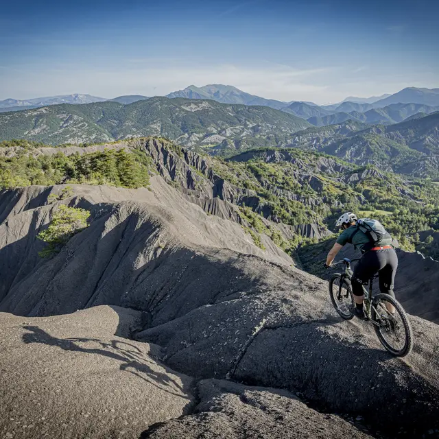
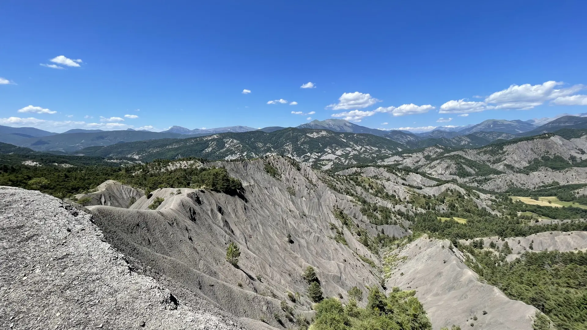
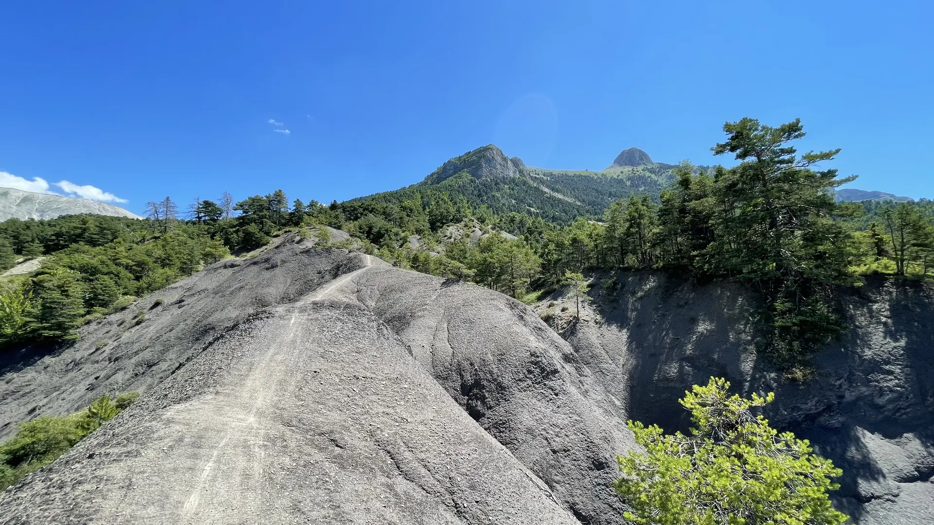
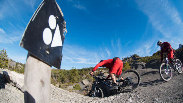
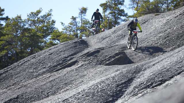
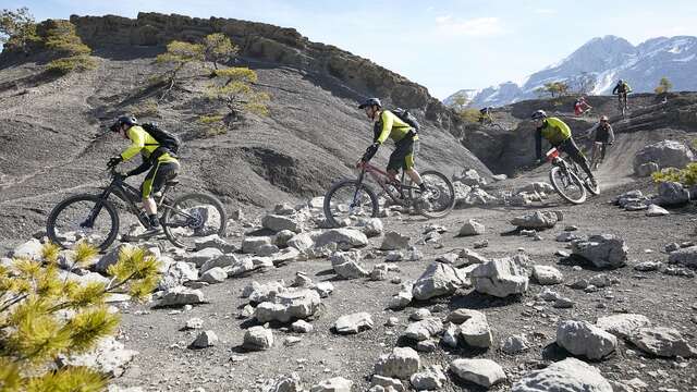
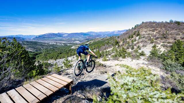
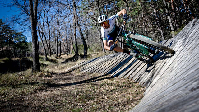
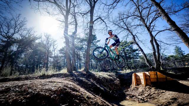
  • Starting from other three villages (Draix, la Javie, Le Brusquet) served by this route, you will discover the famous Terres Noires. Starting from Marcoux, cross the Bourg river to climb a long track to the top of the Emporte sources.

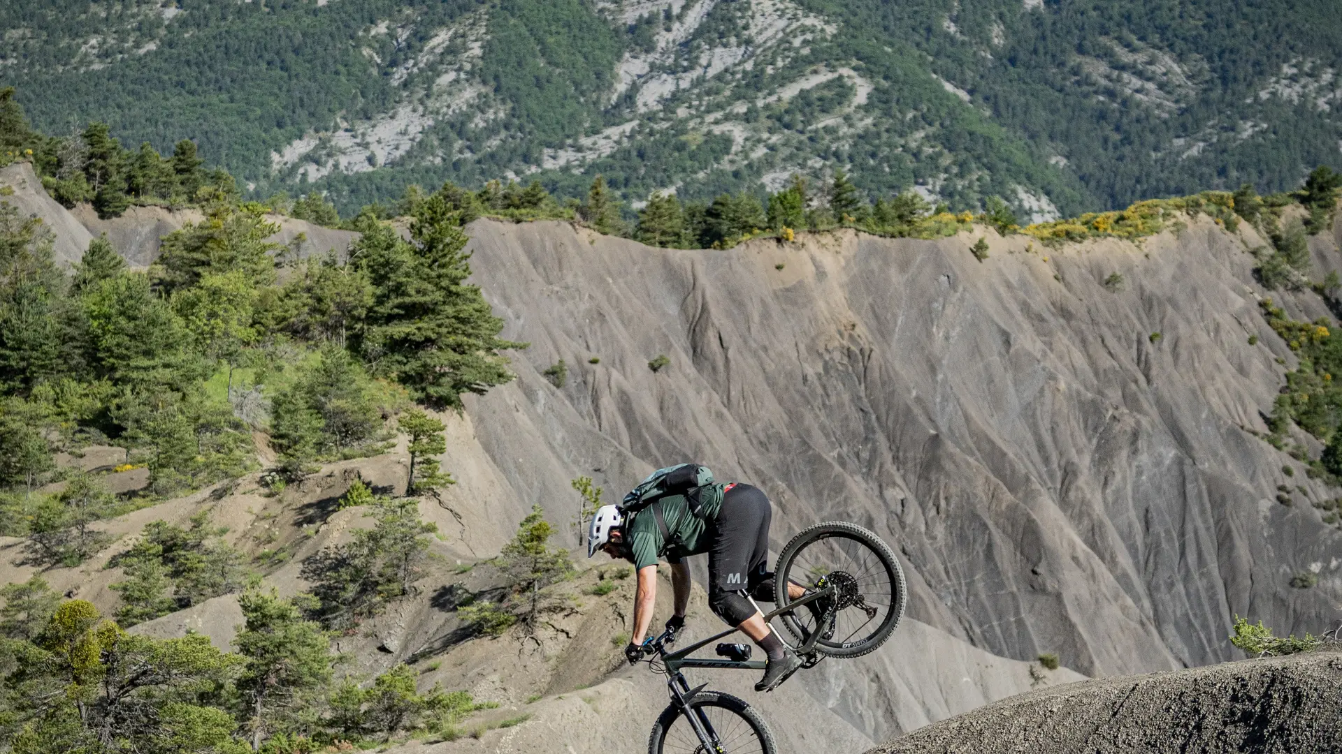
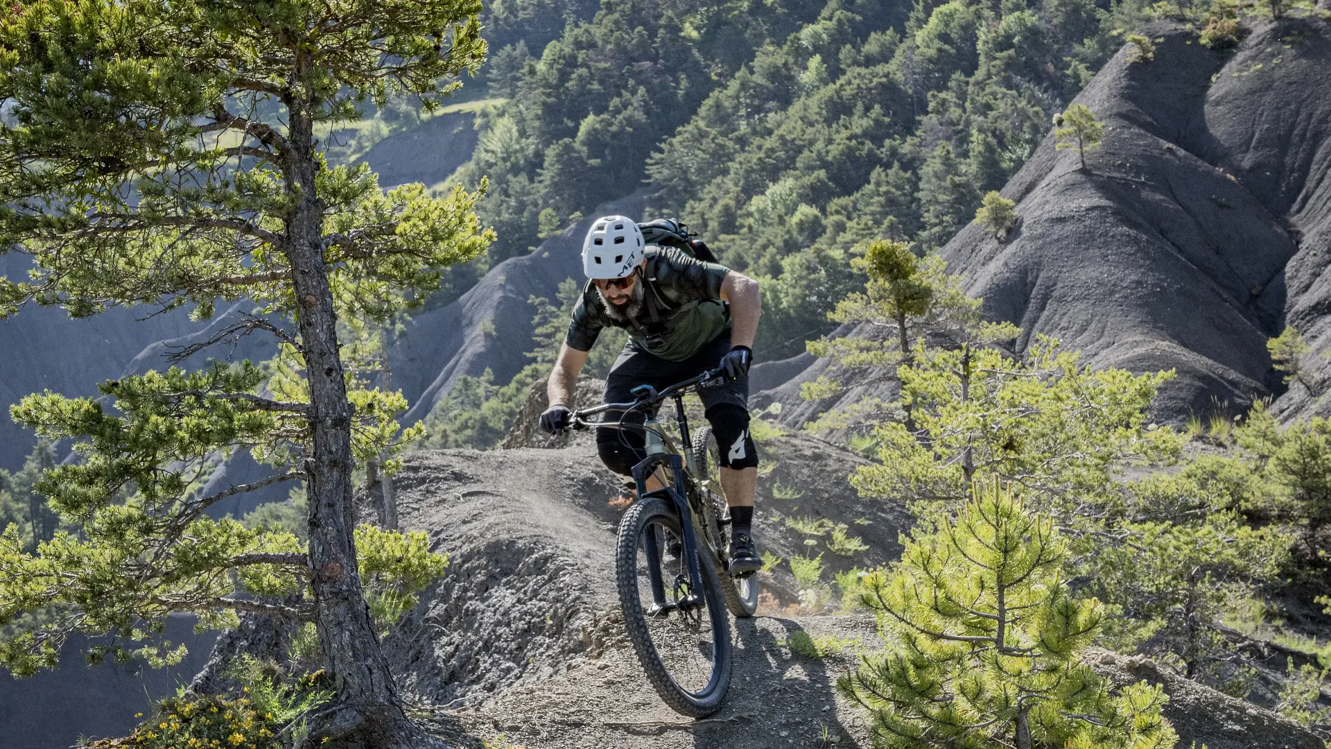
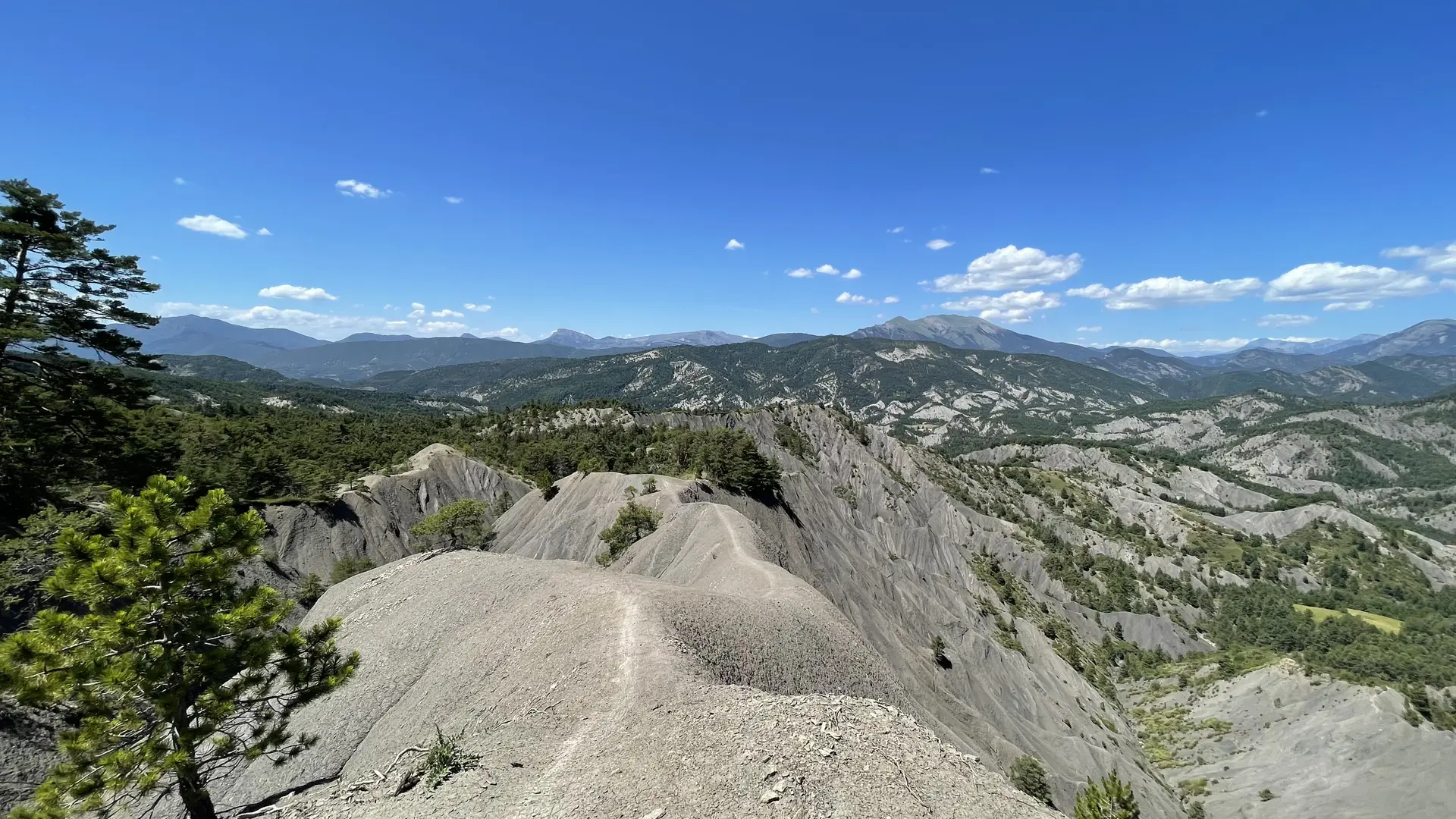
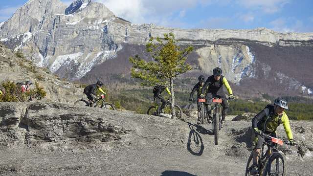
  • From Marcoux, cross the river in the village to climb a long track to the top of the sources of the Emporte. A long path begins, alternating between fast and technical sections to finish in the black earth. Then go back up in the village of Draix, water point at the fountain, access to the ridges is made by a track. The return is made by a track to the Javie to finish by a balcony path to reach the starting point.
  • Departure
    Marcoux
  • Difference in height
    1189.52 m
  • Plain text period
    All year round.
  • Environment
    • Forest location
    • Panoramic view
  • Spoken languages
    • French
  • Documentation
    GPX / KML files allow you to export the trail of your hike to your GPS (or other navigation tool)
1190 meters of difference in height
Created with Highcharts 6.2.0Distance (km)Altitude (m)0 km2.5 km5 km7.5 km10 km12.5 km15 km17.5 km20 km22.5 km25 km27.5 km30 km32.5 km35 km600 m700 m800 m900 m1000 m1100 m1200 mHighcharts.com
  • Maximum altitude : 1134 m
  • Minimum altitude : 693 m
  • Total positive elevation : 1190 m
  • Total negative elevation : -1190 m
  • Max positive elevation : 301 m
  • Min positive elevation : -256 m
Services
  • Equipment
    • Free car park
    • Car park