See photos (2)

VTT n°17 - La chapelle d'Augès

Sport, Cycling sports, Mountain biking itinerary in Peyruis
Unresolved hours
15.3 km
2h
Very difficult
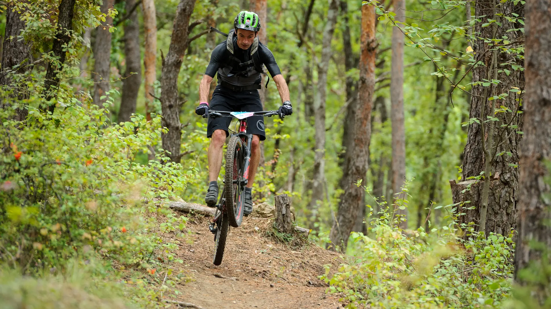
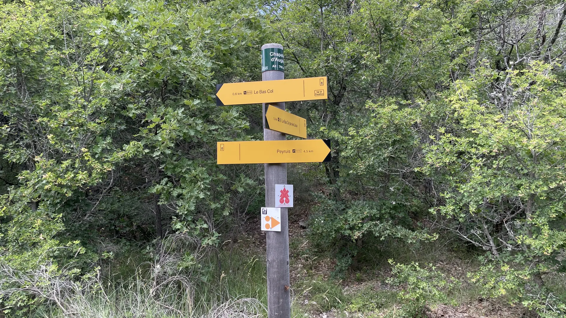
  • You cross the Bancau du champ de Gau, terraced gardens irrigated by a spring, and a climb takes you to the Bane plateau. The descent is via a technical path, then you join the Bas Col up to the Augès chapel.

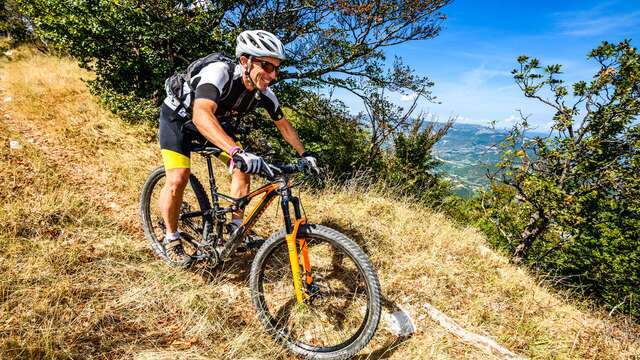
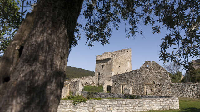
  • Further on, in front of the ruins of Lioux, the last evidence of an ancestral life, you will go around the summit of Tourdeaux and go back down by a descent alternating between technical areas and fast passages.
  • Departure
    Peyruis
  • Difference in height
    676.558 m
  • Environment
    • Forest location
  • Spoken languages
    • French
  • Documentation
    GPX / KML files allow you to export the trail of your hike to your GPS (or other navigation tool)
677 meters of difference in height
Created with Highcharts 6.2.0Distance (km)Altitude (m)0 km1 km2 km3 km4 km5 km6 km7 km8 km9 km10 km11 km12 km13 km14 km15 km400 m500 m600 m700 m800 m900 mHighcharts.com
  • Maximum altitude : 819 m
  • Minimum altitude : 416 m
  • Total positive elevation : 677 m
  • Total negative elevation : -677 m
  • Max positive elevation : 160 m
  • Min positive elevation : -224 m
Services
  • Equipment
    • Free car park
    • Car park