La Rando de St Joseph

VTT n°21 - La rando de St Joseph

Sport, Cycling sports, Mountain biking itinerary, Electric mountain bike route in Volonne
Unresolved hours
25.2 km
3h 30min
Very difficult
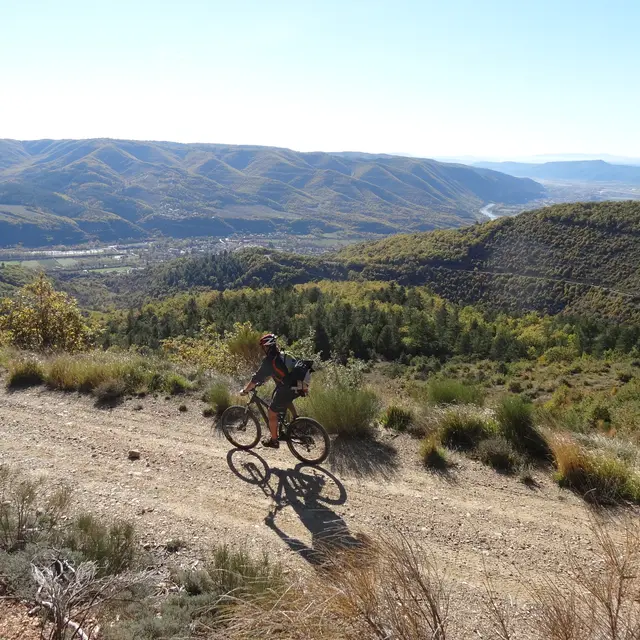
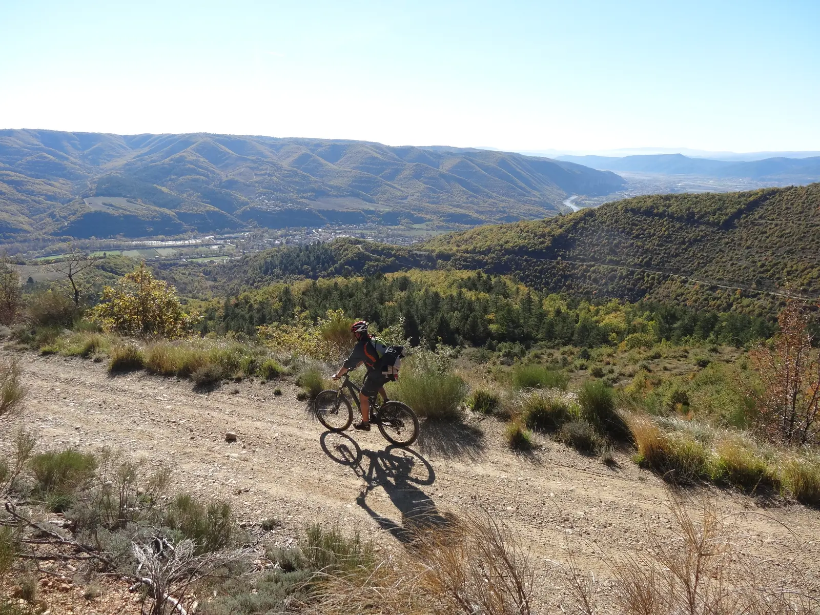
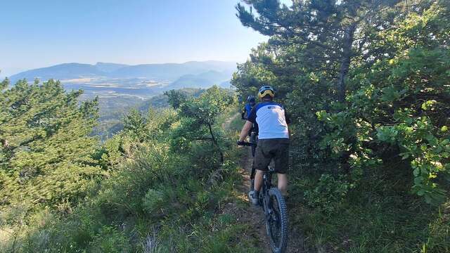
  • An unusual hike for the area, more mountainous and offering a remarkable and unexpected 365-degree panorama of the territory. Passages through the undergrowth on winding and wild paths among the beech trees. It's a challenge to take on!

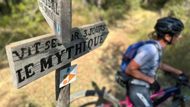
  • Departure from Volonne, parking next to the bridge. The route is shared with the n°12 up to La Frache, then continues on a path uphill to the crest at the Col de la Trinité, you will then follow the crest to the St Joseph chapel. The return is by the same route as on the way there and by a winding and wild path in the middle of the beech trees. Be careful with batteries of less than 600 Watts.
    Be careful you are in a grazing area.
  • Departure
    Volonne
  • Difference in height
    1061 m
  • Environment
    • Forest location
    • Panoramic view
  • Spoken languages
    • French
  • Documentation
    GPX / KML files allow you to export the trail of your hike to your GPS (or other navigation tool)
1061 meters of difference in height
Created with Highcharts 6.2.0Distance (km)Altitude (m)0 km2 km4 km6 km8 km10 km12 km14 km16 km18 km20 km22 km24 km400 m600 m800 m1000 m1200 m1400 mHighcharts.com
  • Maximum altitude : 1256 m
  • Minimum altitude : 436 m
  • Total positive elevation : 1061 m
  • Total negative elevation : -1061 m
  • Max positive elevation : 396 m
  • Min positive elevation : -674 m
Services
  • Equipment
    • Car park
    • Free car park