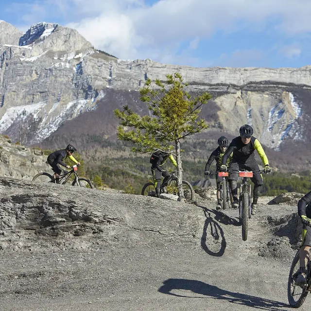
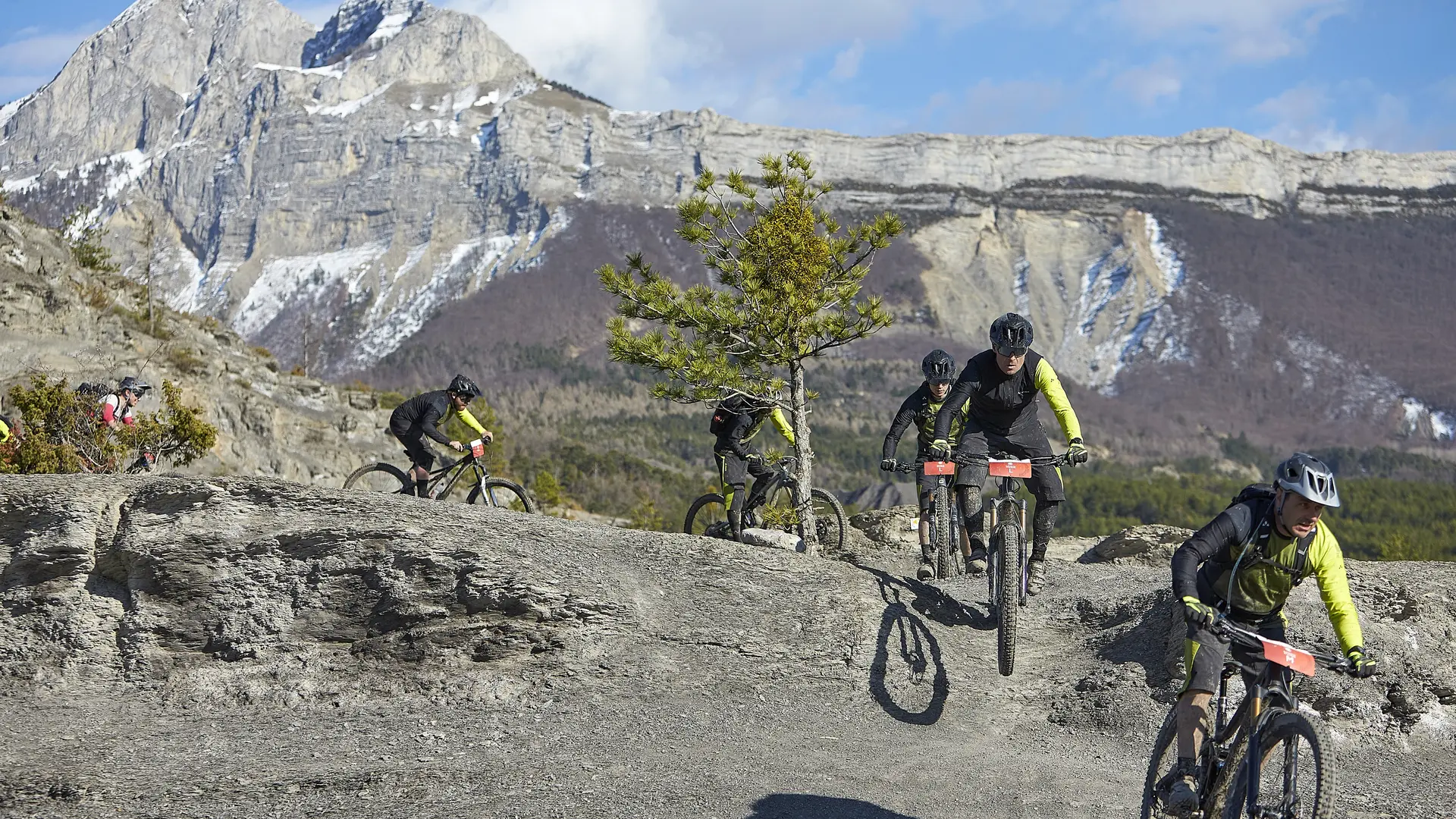
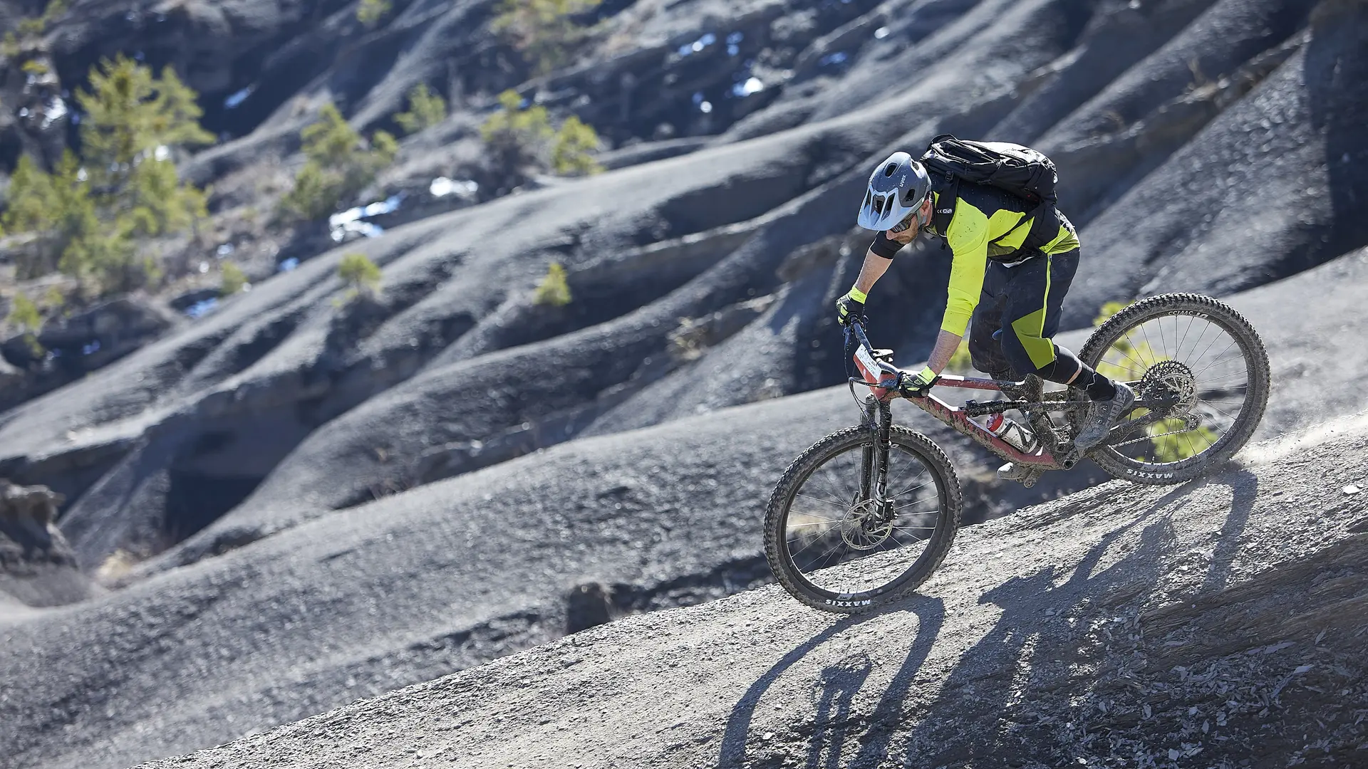
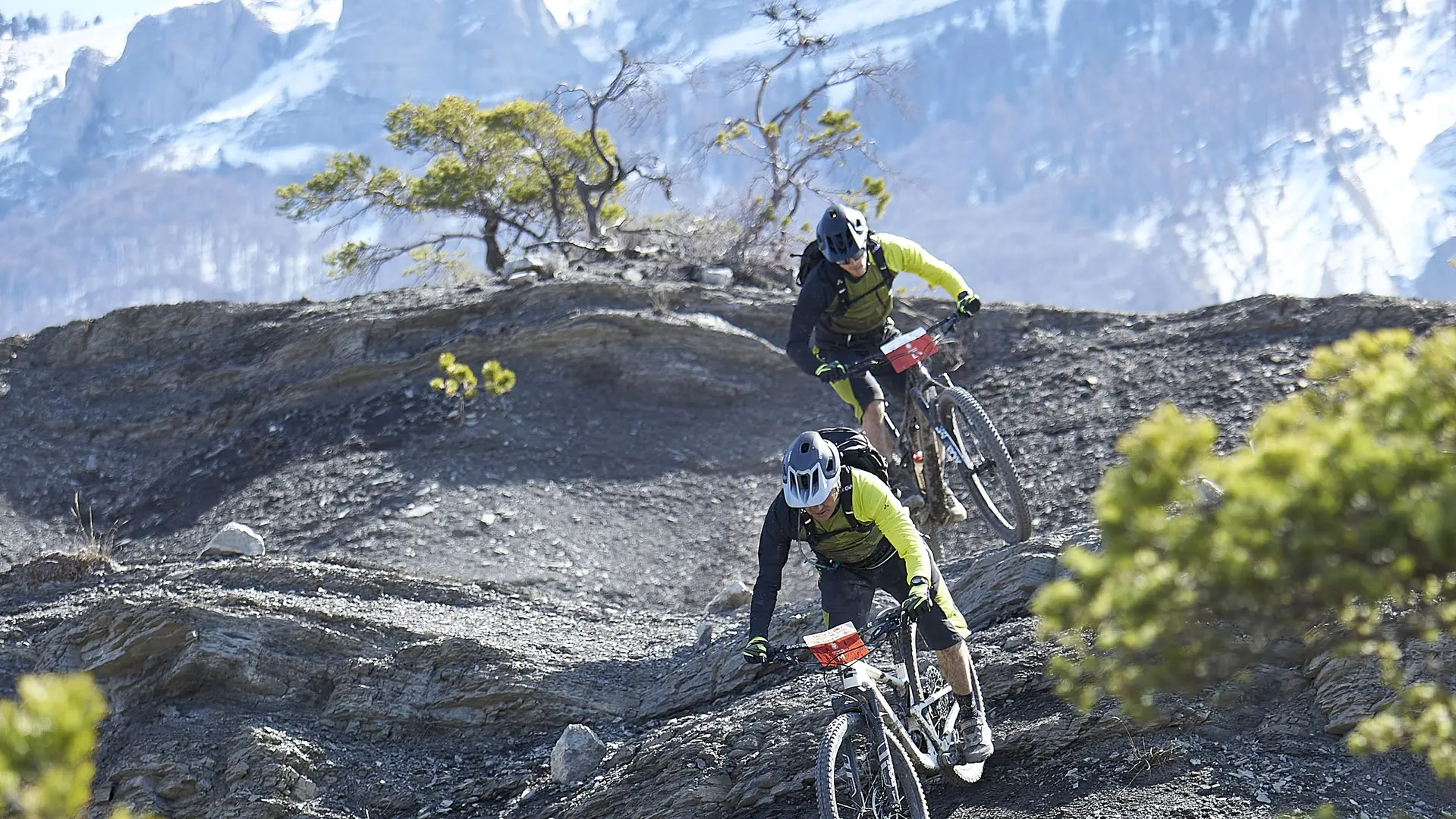
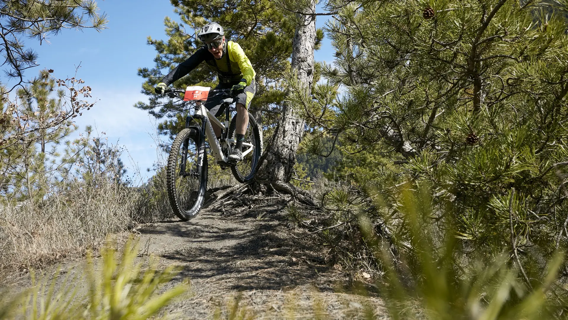
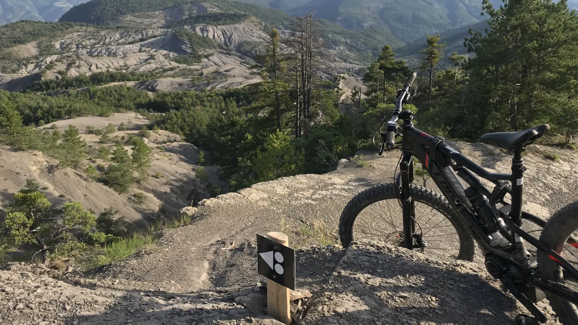
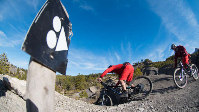
Set off to discover the legendary Terres Noires. This route links, via the most beautiful trails in the area (Dall'Osto climb, Bergerie de Maurel), 3 beautiful mountain bike enduro specials (Les Chasseurs, Les Toboggans, L'Escure) in the heart of the Terres Noires!
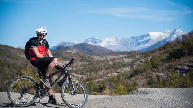
Spot des Terres Noires, a legendary site for mountain biking!
This route, departing from the Digne-les-tourist office
Bains goes up a small road to the hamlet of
Villard. After this warm-up the route connects, by the most
beautiful trails in the area (ascent of Dall'Osto and Bergerie de
Maurel), 3 beautiful enduro mountain bike specials (the Hunters, the
Slides, l’Escure) in the heart of the legendary site of Terres
Black! It is possible to choose your route à la carte (1, 2 or
3 Enduro trails) by connecting these via the forest track
3 mountain bike trails.