L'Enduro de la Bastide Blanche

VTT n°22 - Enduro de la Bastide Blanche

Sport, Cycling sports, Enduro itinerary in L' Escale
Unresolved hours
22.8 km
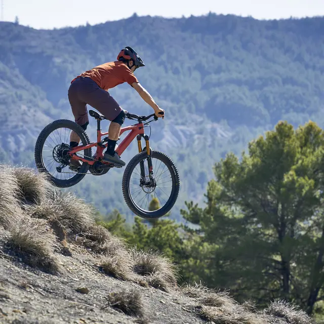
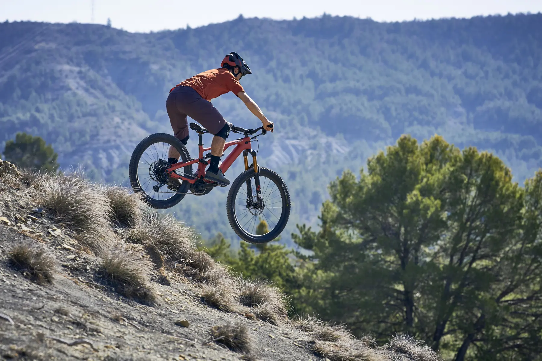
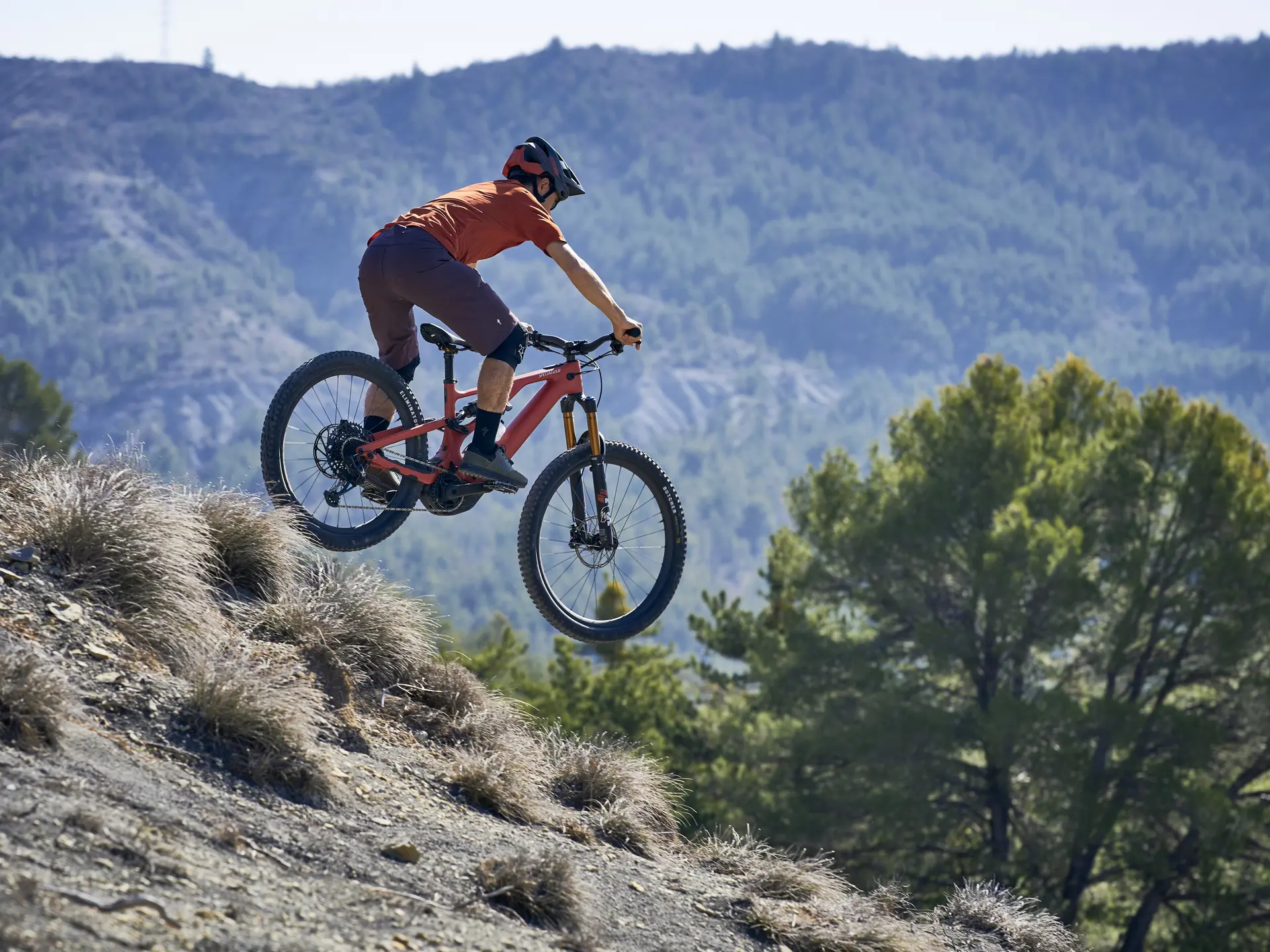
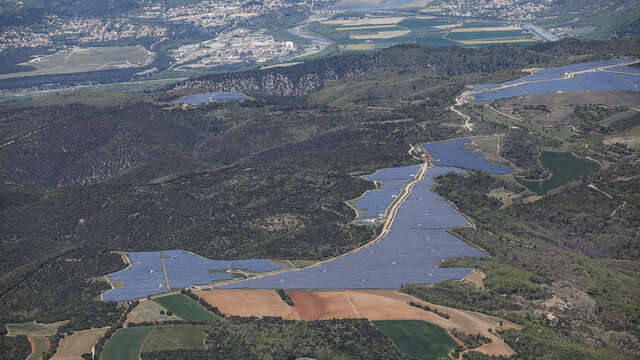
  • Cross the Haute-Provence ornithological reserve to reach the village of Volonne. A long track will take you to the enduro specials. Between fast and technical parts, the trail will also offer you superb views of the Val de Durance.

  • From the village of l'Escale, the trail takes the direction of the Tour du Lac and crosses the Haute-Provence ornithological reserve to reach the village of Volonne. Then a long track awaits you to take you to the 1st special "La Bastide Blanche", then to the 2nd "La Bosse du Chameau" by the same track, this 2nd special links fast then technical parts. You will leave the trail to find a path until the last special of "Coulayès". Each special is marked by start and end signs, with red...
    From the village of l'Escale, the trail takes the direction of the Tour du Lac and crosses the Haute-Provence ornithological reserve to reach the village of Volonne. Then a long track awaits you to take you to the 1st special "La Bastide Blanche", then to the 2nd "La Bosse du Chameau" by the same track, this 2nd special links fast then technical parts. You will leave the trail to find a path until the last special of "Coulayès". Each special is marked by start and end signs, with red background mountain bike markers, those with a white background represent the connections between the specials.
934 meters of difference in height
Created with Highcharts 6.2.0Distance (km)Altitude (m)0 km2 km4 km6 km8 km10 km12 km14 km16 km18 km20 km22 km400 m500 m600 m700 m800 m900 m1000 m1100 m1200 mHighcharts.com
  • Maximum altitude : 1070 m
  • Minimum altitude : 433 m
  • Total positive elevation : 934 m
  • Total negative elevation : -934 m
  • Max positive elevation : 213 m
  • Min positive elevation : -327 m
Services
  • Equipment
    • Free car park
    • Car park