See photos (4)

VTT n°30 - La Napoléonienne

Sport, Cycling sports, Mountain biking itinerary in Château-Arnoux-Saint-Auban
21.1 km
2h
Medium
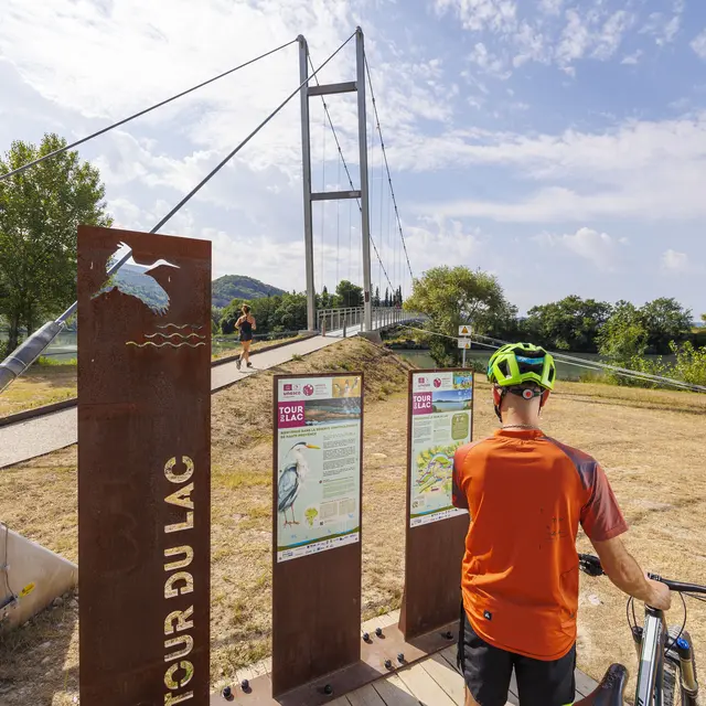
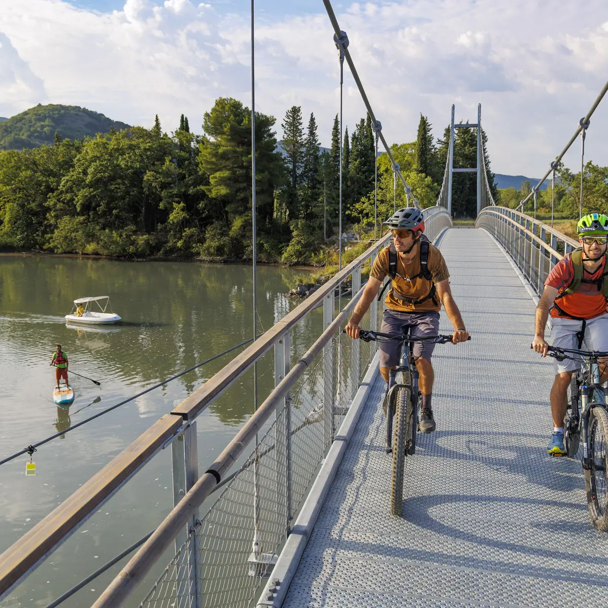
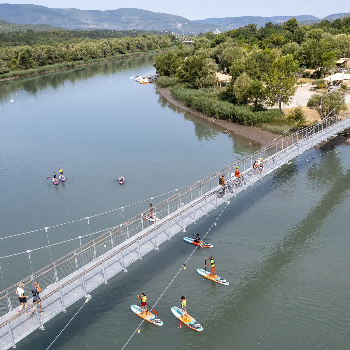
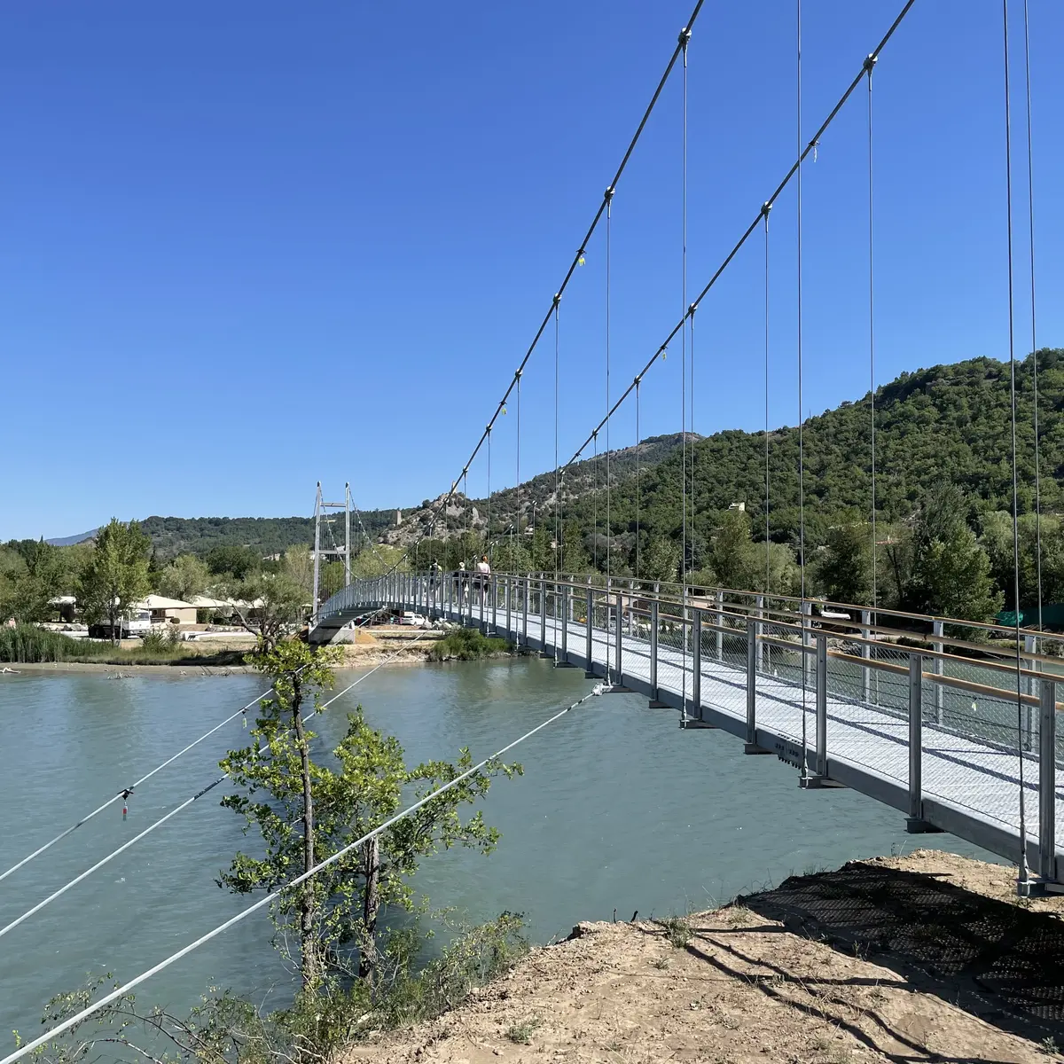
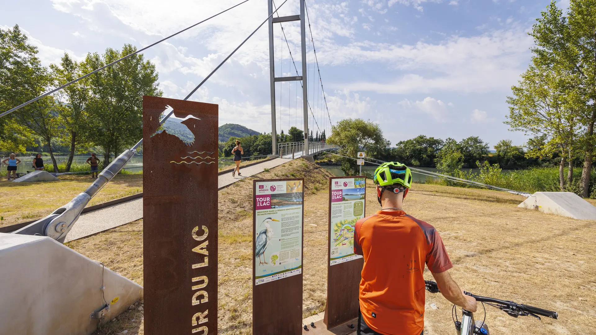
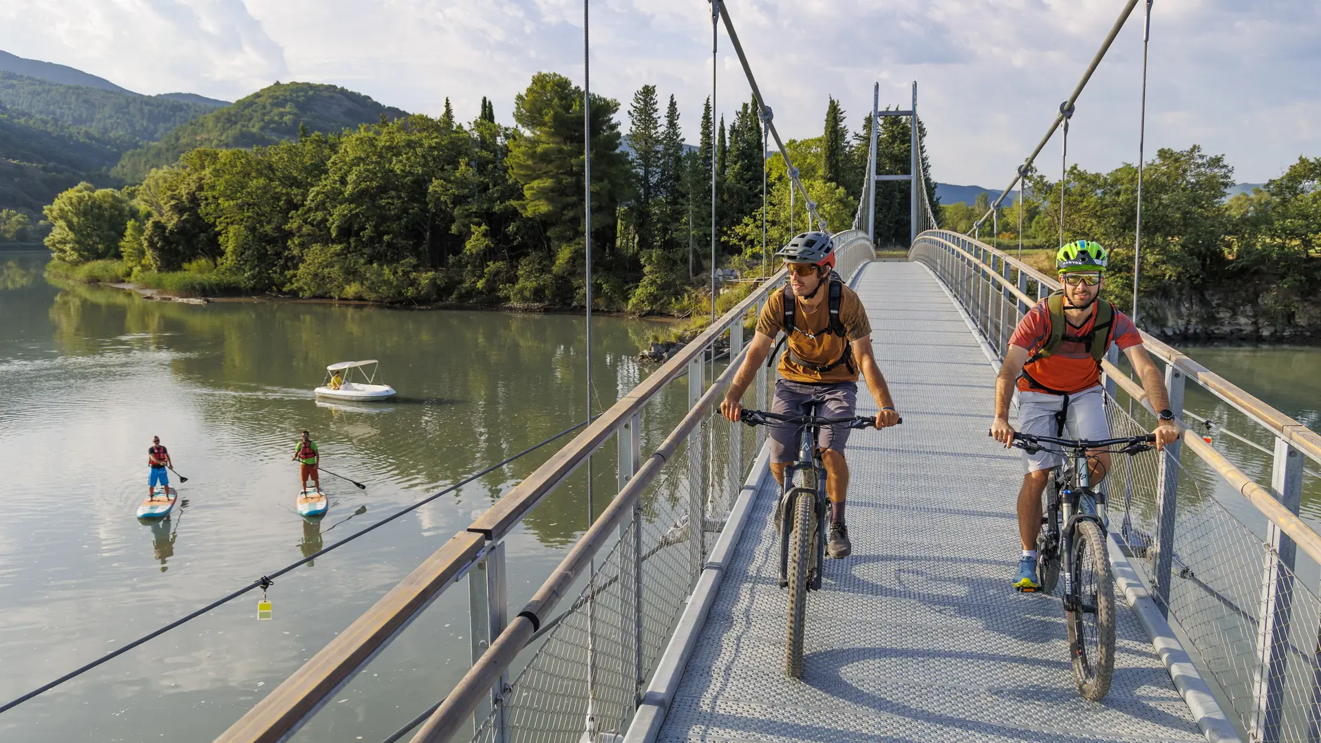
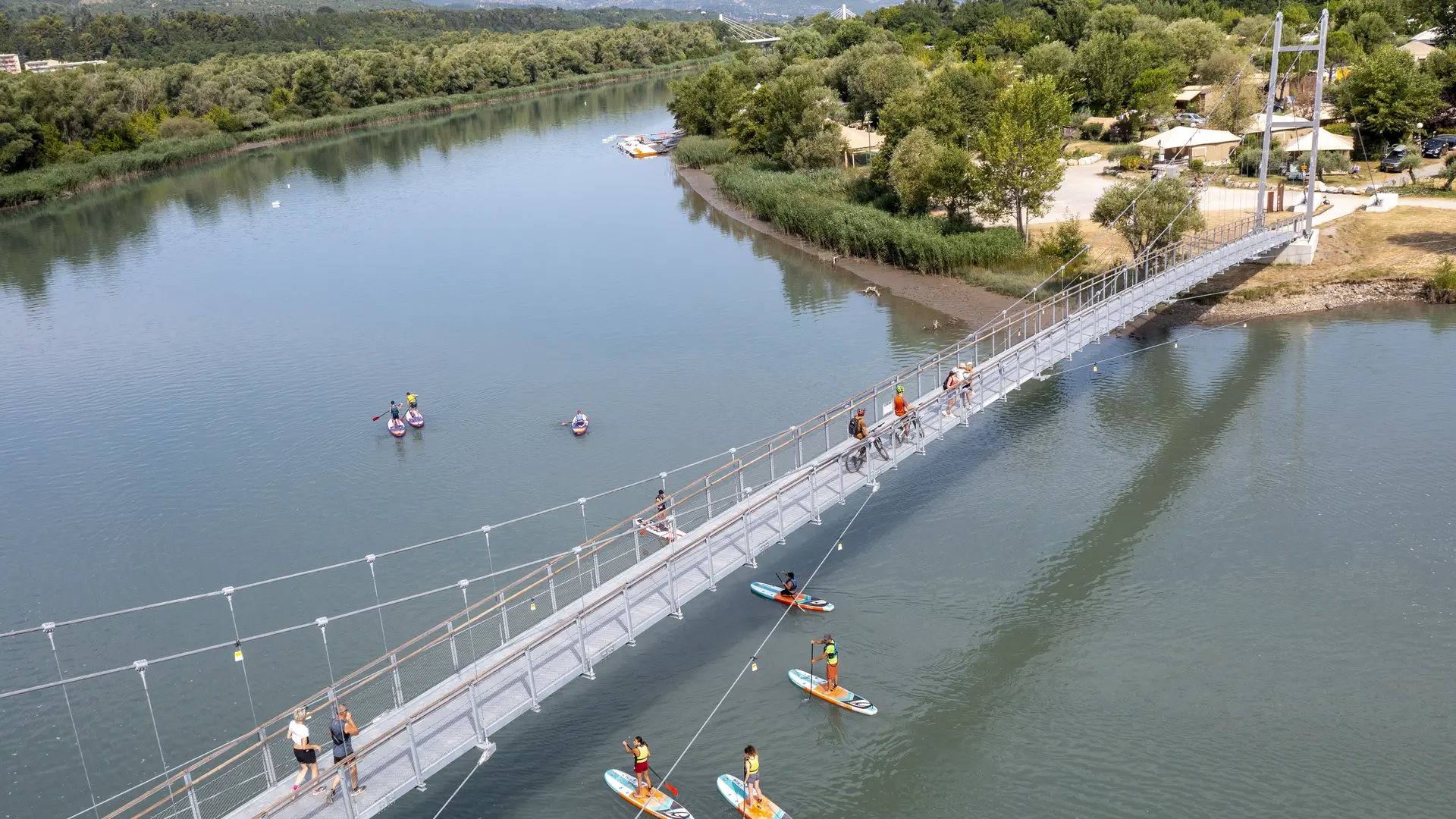
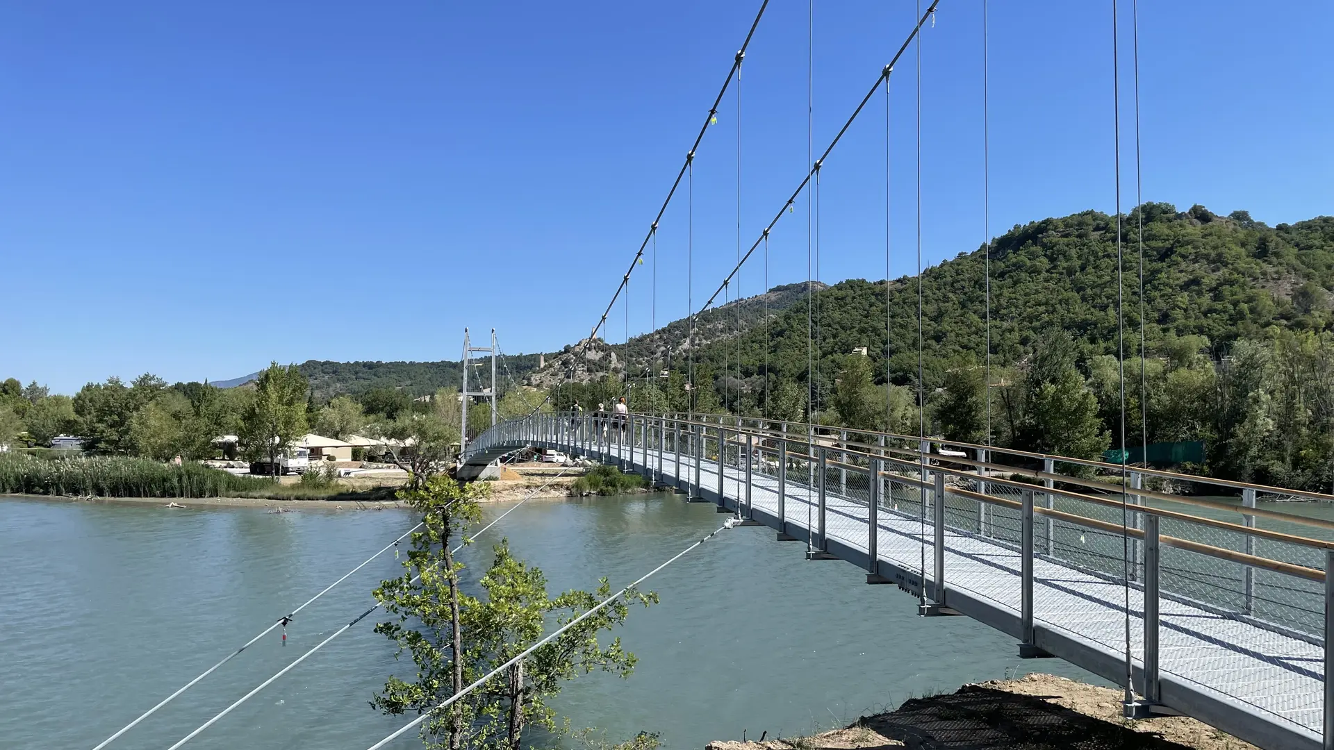
  • A family route with several starting points to discover part of the Grande Randonnée trail of the Route Napoléon (GR406). You will take the footbridge that spans the Durance (137 meters long) at the Volonne campsite.

  • Departure from Château-Arnoux, tourist office.
    Departure from Volonne, parking next to the bridge.
    Departure from Malijai, castle parking lot.
  • Departure
    Château-Arnoux-Saint-Auban
  • Difference in height
    257 m
  • Environment
    • Riverside
    • Overview on river
    • Waterside
    • In the country
  • Spoken languages
    • French
  • Documentation
    GPX / KML files allow you to export the trail of your hike to your GPS (or other navigation tool)
  • Accepted customers
    • Level bue - Medium
257 meters of difference in height
  • Maximum altitude : 475 m
  • Minimum altitude : 426 m
  • Total positive elevation : 257 m
  • Total negative elevation : -257 m
  • Max positive elevation : 36 m
  • Min positive elevation : -39 m
Services
  • Equipment
    • Charging station for 2 electric wheels
    • Free car park
    • Car park
    • Public WC