- Voir les favoris
VTT N°43 : Les hameaux de Névache
Sport, Cycling sports, Mountain biking itinerary
in Névache
6.3
km
-
Route no. 43 on the "Espace VTT Grand Briançonnais" map: the tour of the hamlets of Névache is an easy route for families: 5 km around the village to discover the hamlets and 25 m of ascent.
-
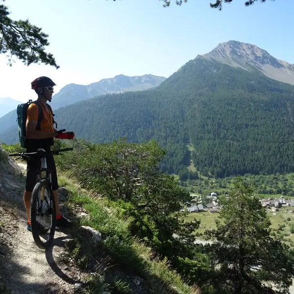
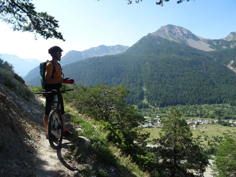
Departure from Névache Ville Haute by road.
At the Fortville bridge, cross the Clarée,
follow the Clarée on the right bank to the Armands bridge.
Cross over and take the Col de l'Echelle road.
At the 1st bend, turn left onto a track and cross to the hamlet of Roubion,
then discover the Ville Basse and Ville Haute.
- Departure
- Névache
-
-
Difference in height
- 46.5598 m
-
-
-
Environment
-
-
-
Spoken languages
-
-
-
Documentation
- GPX / KML files allow you to export the trail of your hike to your GPS (or other navigation tool)
-
- See all reviews
- 47 meters of difference in height
-
- Maximum altitude : 1622 m
- Minimum altitude : 1584 m
- Total positive elevation : 47 m
- Total negative elevation : -50 m
- Max positive elevation : 30 m
- Min positive elevation : -22 m
Services
-
-
Equipment
-
-
-
Services
-
