- Voir les favoris
VTT n°5 - Le Montdenier
Sport, Cycling sports, Mountain biking itinerary
in Moustiers-Sainte-Marie
35.8
km
3h
Very difficult
-
Starting from the car park at the entrance to Moustiers-Sainte-Marie, head towards the centre through the quaint little streets typical of such a ‘Village de Caractère’. Follow the signs for le
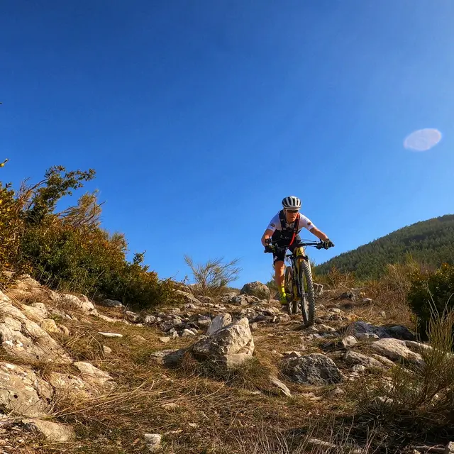
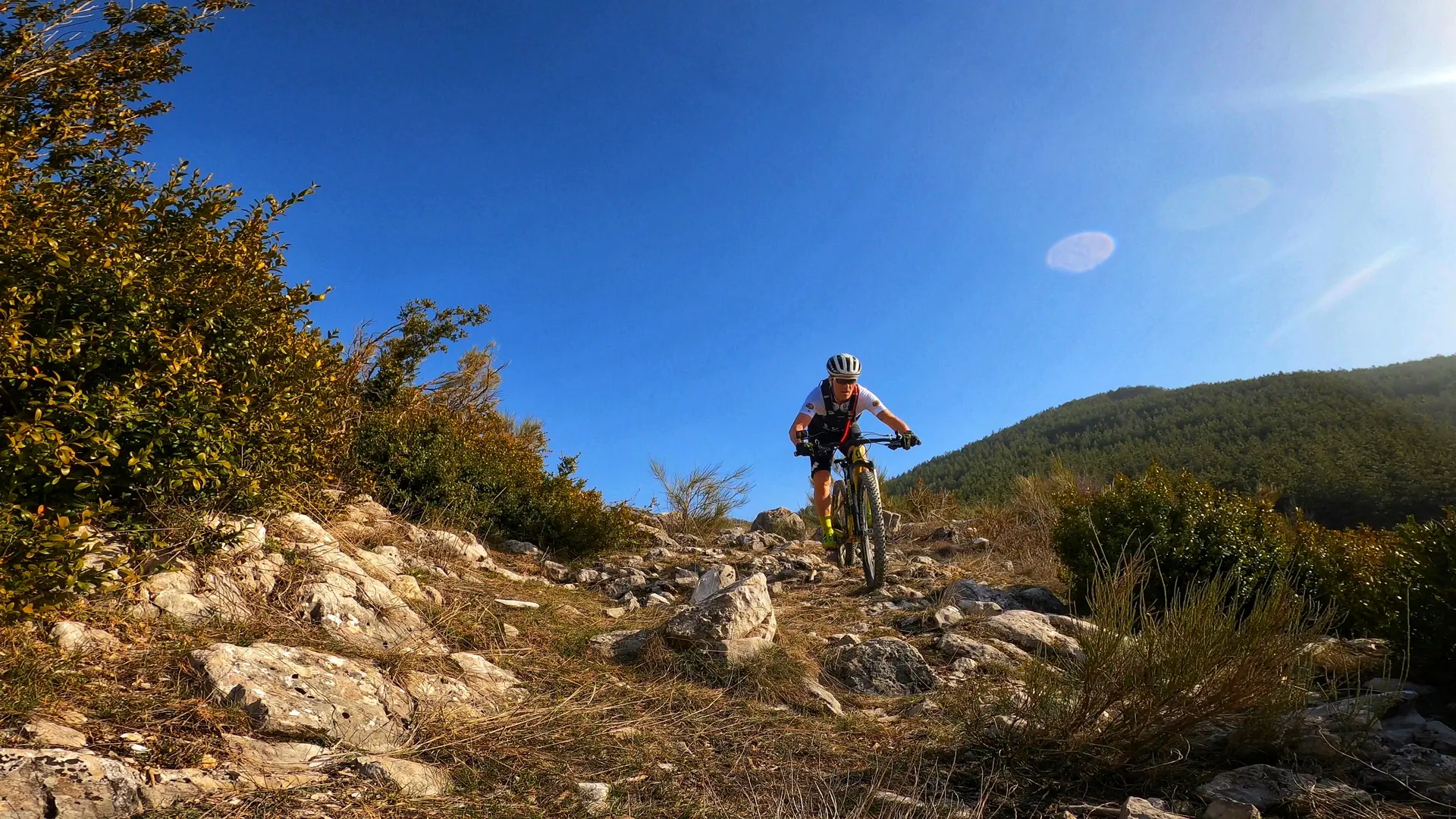
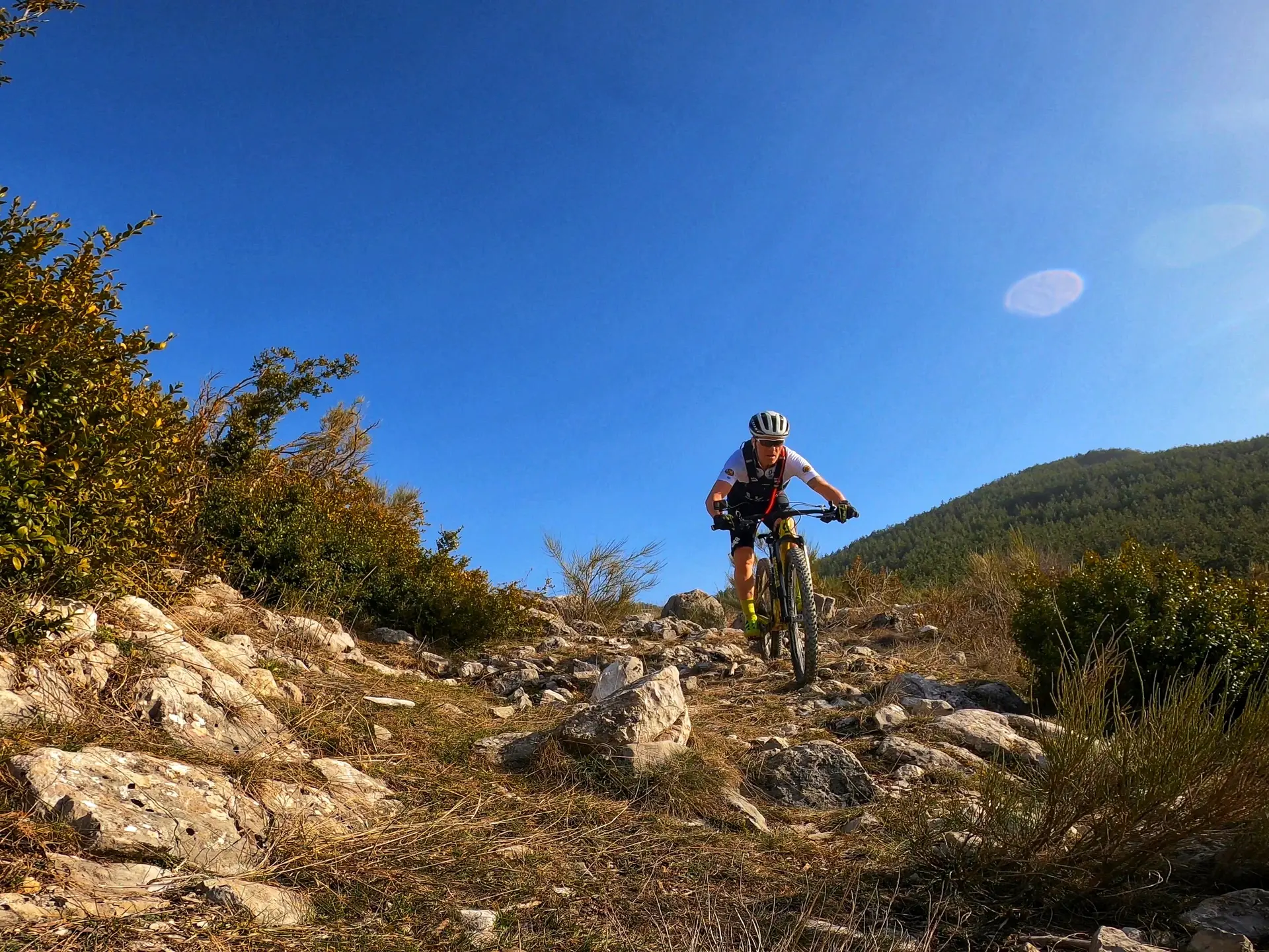
Pont Roman (Roman bridge) and then cycle through the olive groves which overlook the village. Navigate the network of technical rocky paths that lead to the hamlet of ‘En Naups’. -
The next section of the route is tarmacked then followed by a path that descends to le Moulin de Mouresse. A long ascent takes you to le Col de la Cabane where you will cycle along the foothills of Montdenier to Baisse. One side boasts a splendid view of Mont Chiran (1900m altitude), whilst the other offers fantastic vistas of le Lac de Sainte-Croix and Haute-Provence through to Mont
Ventoux. Take the stony path back down to Moustiers-Sainte-Marie. This section of the route overlaps with...The next section of the route is tarmacked then followed by a path that descends to le Moulin de Mouresse. A long ascent takes you to le Col de la Cabane where you will cycle along the foothills of Montdenier to Baisse. One side boasts a splendid view of Mont Chiran (1900m altitude), whilst the other offers fantastic vistas of le Lac de Sainte-Croix and Haute-Provence through to Mont
Ventoux. Take the stony path back down to Moustiers-Sainte-Marie. This section of the route overlaps with the TransVerdon mountain bike network (Grande Traversée VTT).
- Departure
- Moustiers-Sainte-Marie
-
-
Difference in height
- 1566 m
-
-
-
Environment
-
-
-
Spoken languages
-
-
-
Documentation
- GPX / KML files allow you to export the trail of your hike to your GPS (or other navigation tool)
-
-
-
Accepted customers
-
- See all reviews
- 1566 meters of difference in height
-
- Maximum altitude : 1544 m
- Minimum altitude : 570 m
- Total positive elevation : 1566 m
- Total negative elevation : -1566 m
- Max positive elevation : 285 m
- Min positive elevation : -477 m
Services
-
-
Equipment
-
