Take a walking tour of the 9 villages along the Artuby and you'll discover a fascinating and lively region.
A stage from the summit to the banks of the Artuby and back to La Martre
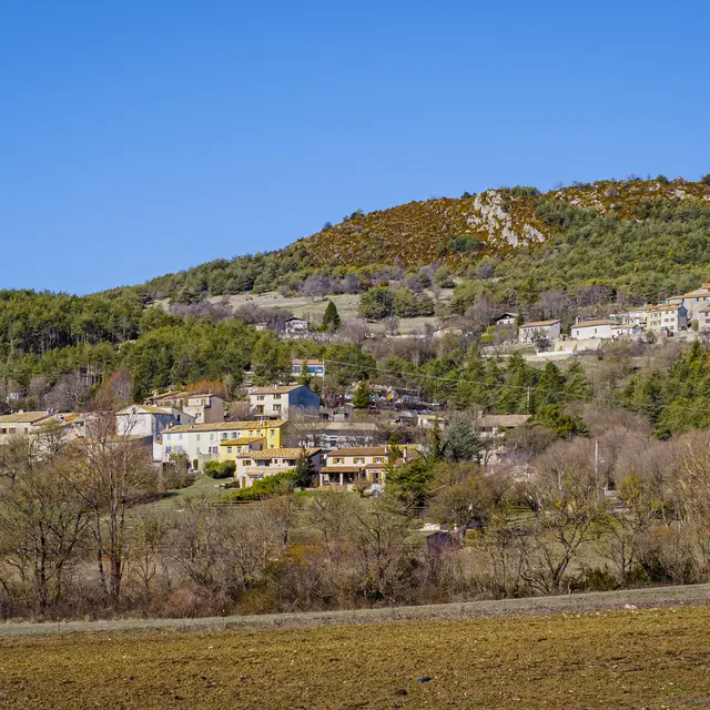
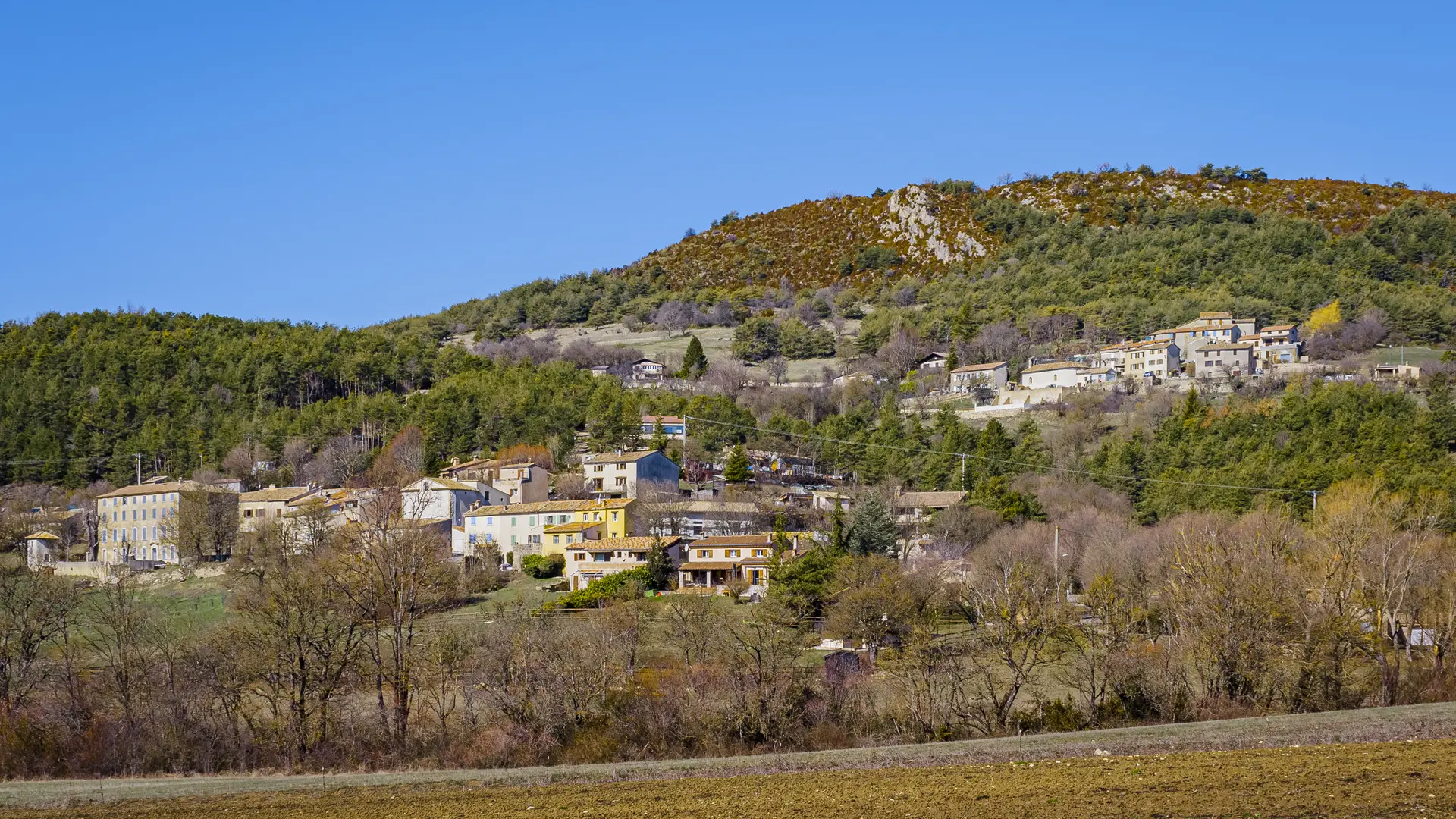
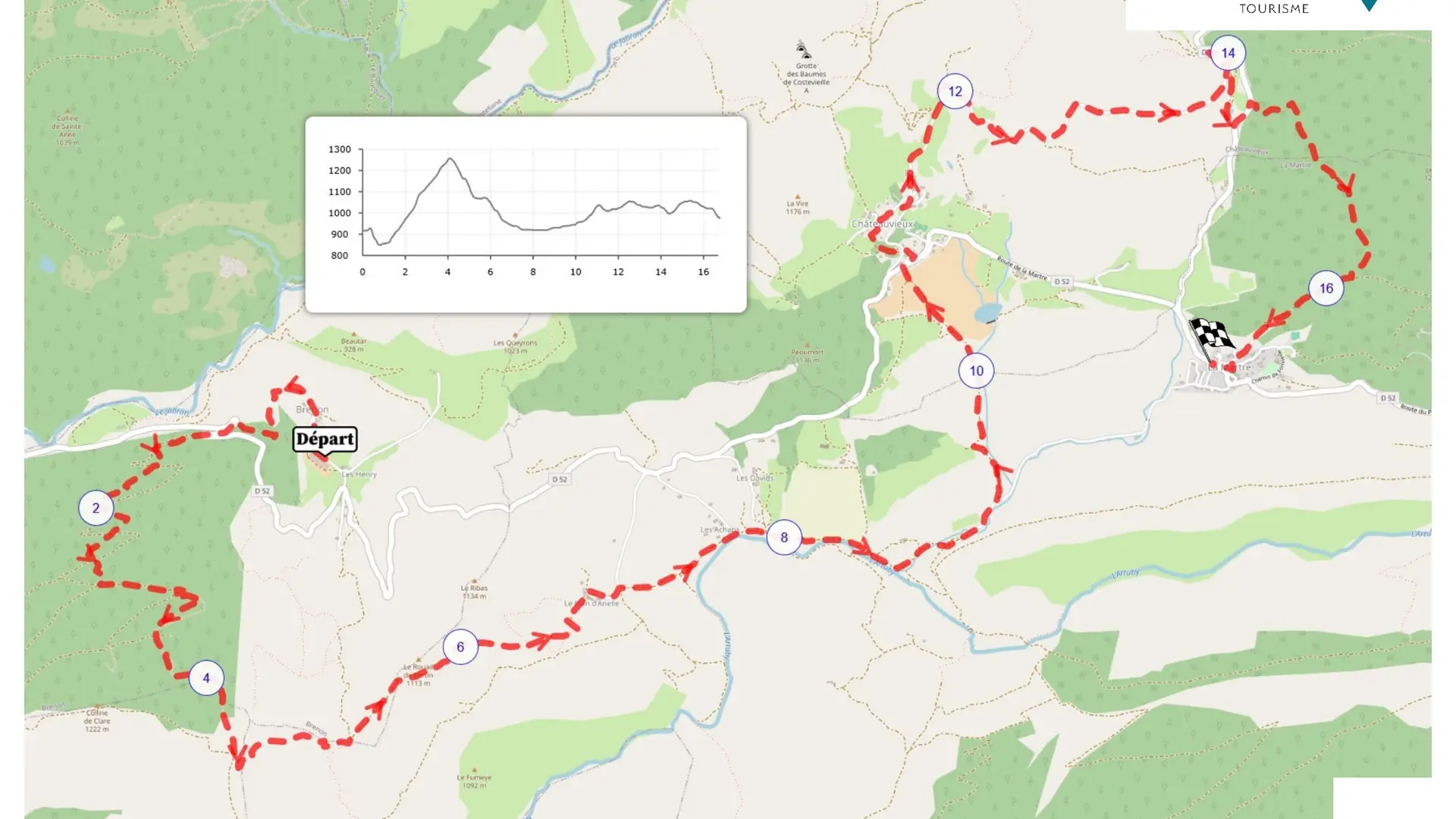
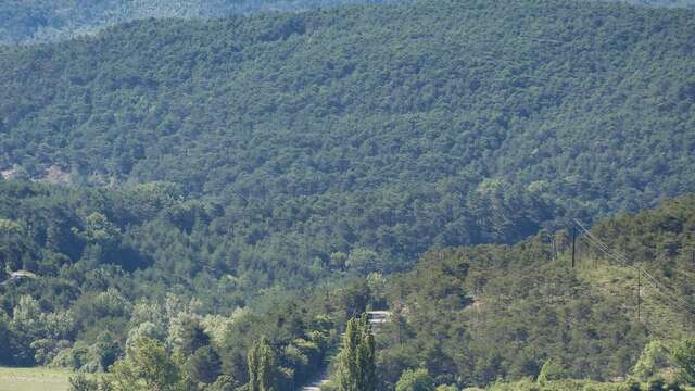
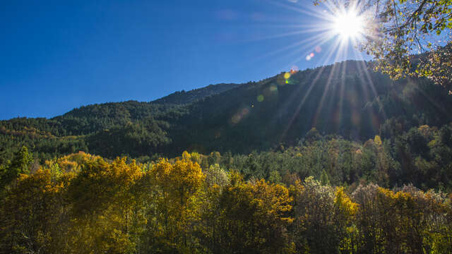
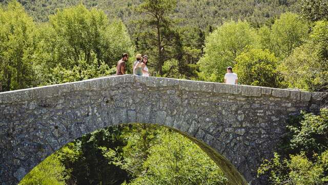
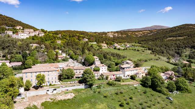
The most challenging stage of this tour of the Artuby, with the climb to the state-owned Maurin-Clare forest at 1266 m, then the descent to the hamlet of Plan d'Anelle (a remarkable wetland). The hike continues towards the village of Châteauvieux, looping back to La Martre and crossing the sensitive natural area of Le Puy.
The hike can be done in both directions.
To see the hike on the map, click here: https://shorturl.at/wGkpb
If you want to go further, try a 5-day itinerary following the GR de Pays "Tour de l'Artuby": https://www.cheminsdesparcs.fr/trek/74641-COMPS-SUR-ARTUBY----Le-Tour-de-l-Artuby
Read more
Plain text rates
Free
Plain text period
All year round daily.
Before hiking, check whether access to forest areas is authorised: https://www.risque-prevention-incendie.fr/var/.