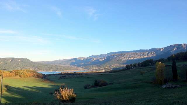
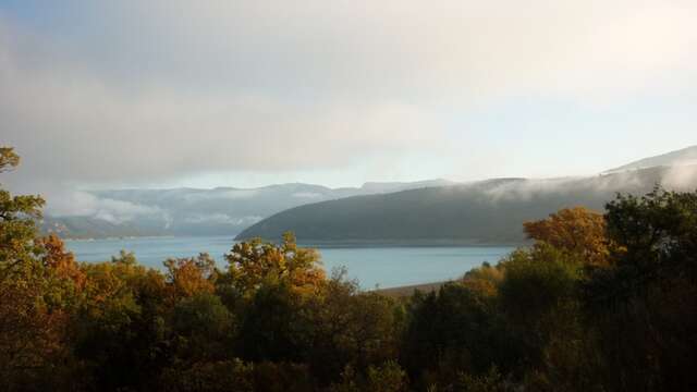
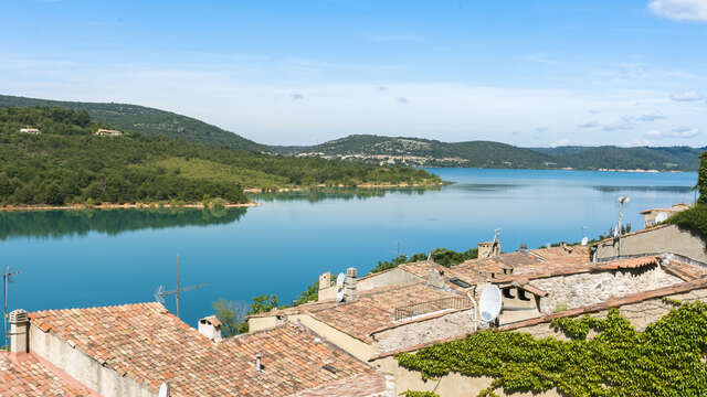
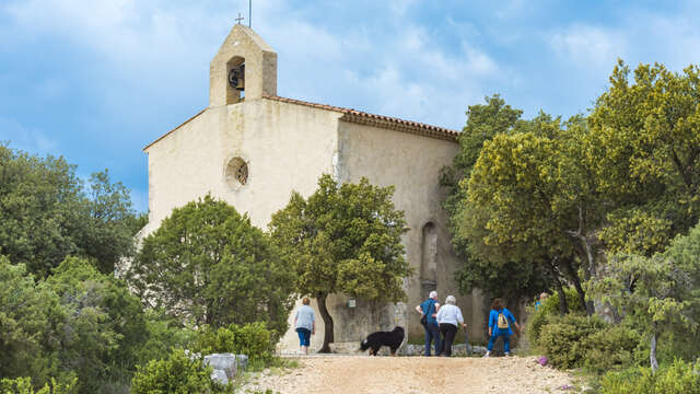
The walking tour of the Sainte-Croix lake takes you on a journey through time and water. It invites you to feel the spirit of the place as you meet 6 villages whose destiny was turned upside down by the building of a dam in the 1970s.
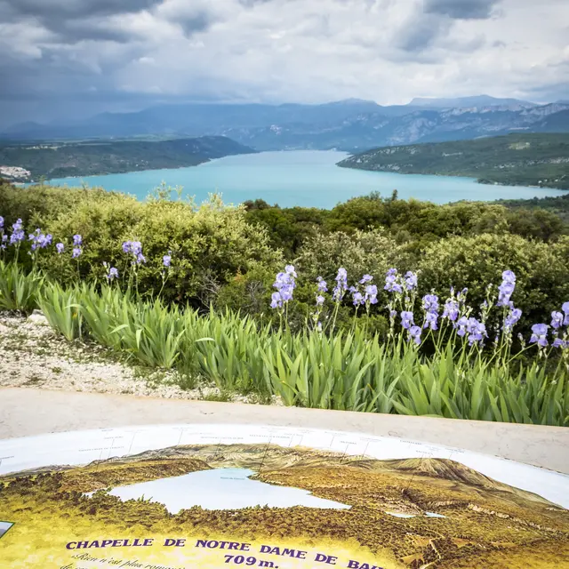
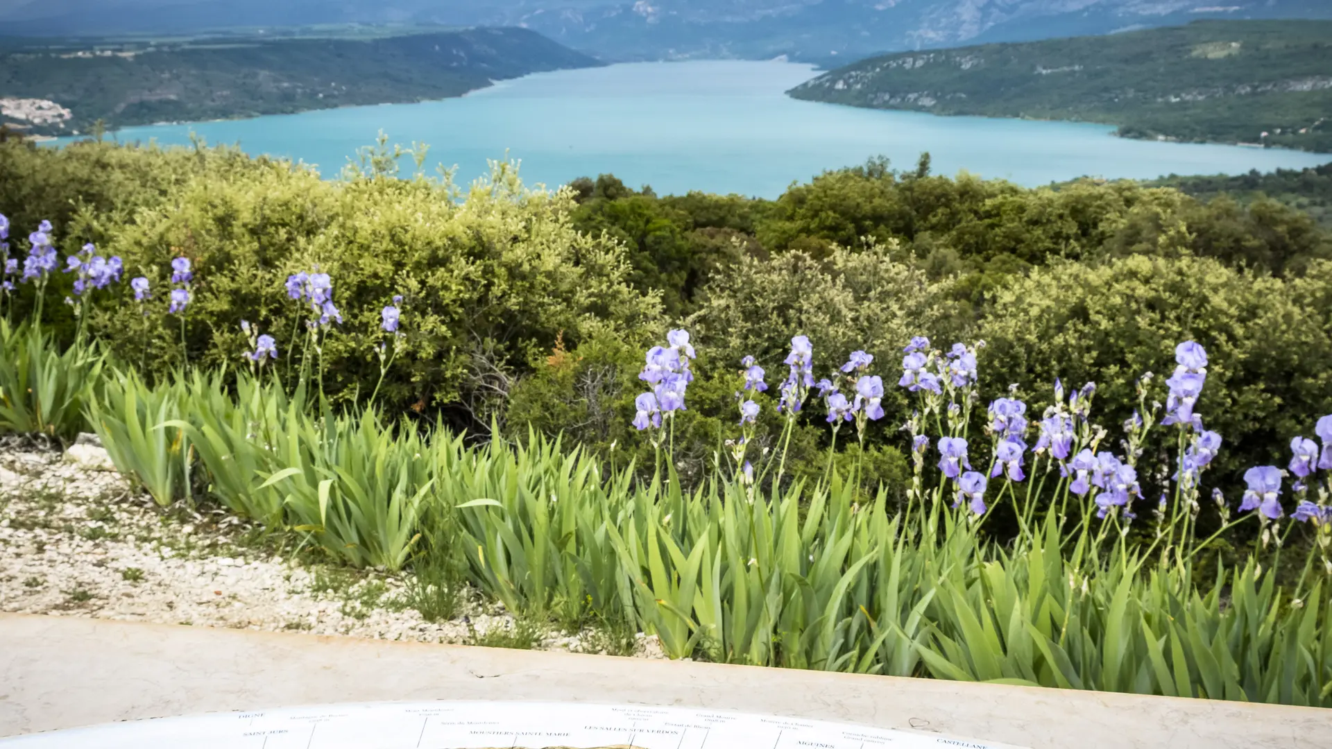
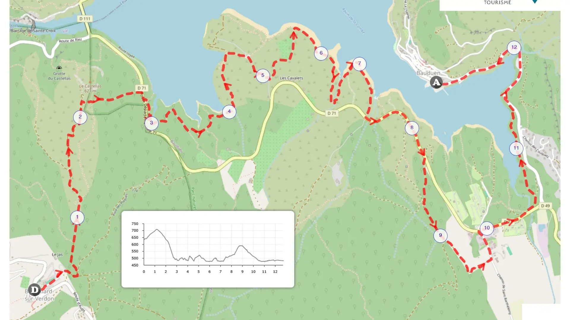
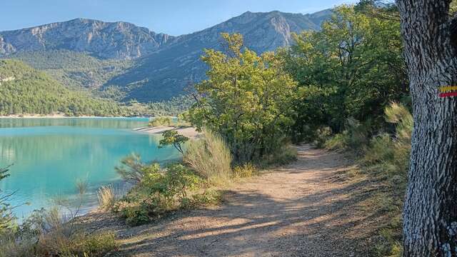
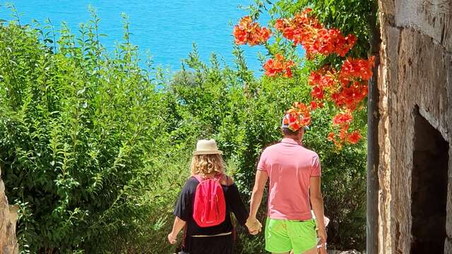
This is a stage that offers some very fine views of the lake, some as close as you can get to the water. You'll cross the Sulagran site, owned by the Conservatoire du Littoral, and enjoy a succession of superb views over Bauduen. At the end of the itinerary, you'll walk along the lake all the way to the Bauduen creek and stop off at the village. The hike can be done in both directions.
When the lake level is high, the practicability of this path may be affected (parts flooded, mud, etc.). It may be necessary to temporarily change to a parallel path (if available) or return to the starting point.
To see the hike on the map, click here: https://tinyurl.com/46n5u939
If you want to go further, try a 5-day itinerary following the GR de Pays "Tour du lac de Sainte-Croix": https://www.cheminsdesparcs.fr/trek/75451-MOUSTIERS-SAINTE-MARIE---Le-Tour-du-lac-de-Sainte-Croix
Read more
Plain text rates
Free
Plain text period
All year round daily.
Before hiking, check whether access to forest areas is authorised: https://www.risque-prevention-incendie.fr/var/.