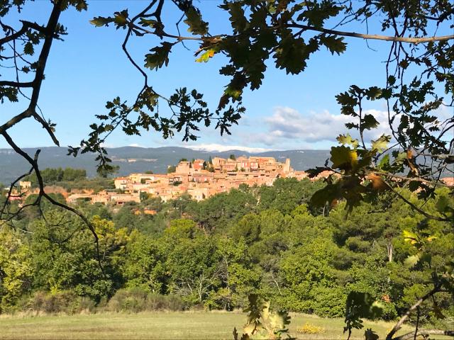
foret-cedres-luberonforet-cedres-luberon
©foret-cedres-luberon|Grzegorz / abobeStock
Cedar Forest (Forêt des Cèdres) of Luberon

Cedar Forest Luberon

Culminating at an altitude of 721 metres, the Petit Luberon is home to a sumptuous fauna and flora, in landscapes of stunning beauty. Among the most remarkable natural sites, the Cedar Forest of the Luberon is a unique ecosystem in France.

A forest from the 19th century

In the past, the summit ridges of the Petit Luberon were essentially composed of large lawns and a few woods. The shepherds used to use it to make their flocks of sheep graze. In 1861, during the Second Empire, an inspector of Water and Forests launched an ambitious afforestation programme. He introduced seeds of Atlas cedars harvested on the other side of the Mediterranean Sea, in the heart of the Algerian Atlas Mountains.

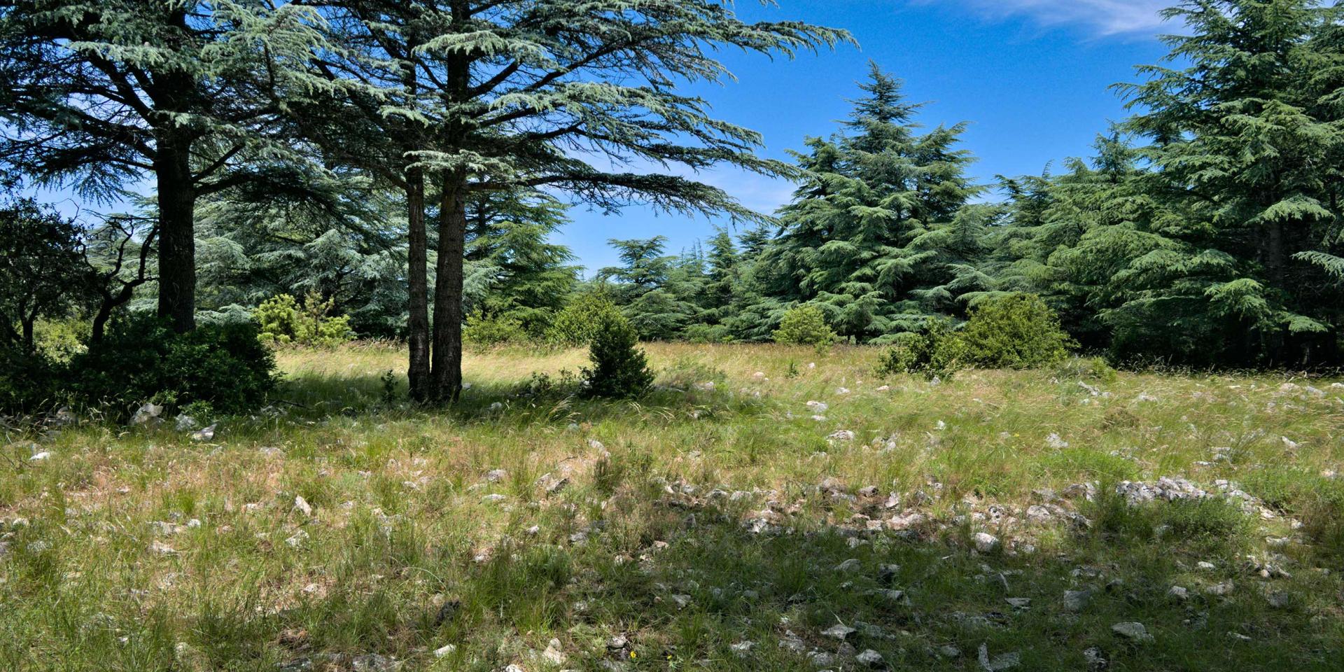
These first trees reached maturity in 1920. In the 1930s, the cedar grove occupied an area of 60 hectares. After a violent fire in 1952, which only spared part of the plantation, the cedars formed a vast forest of about 250 hectares, which flourishes mainly on the summit ridge and colonises the more humid ubac (north slope).
A site designed to welcome the public

The Forêt de Cèdres du Luberon benefits from numerous facilities to facilitate access for visitors and families, who come to seek coolness in summer while enjoying the charms of a forest like no other.

A relatively flat botanical trail of about 3 kilometres enables visitors to discover the wealth of flora and fauna that has taken possession of the cedar forest. At the foot of the cedars, irises, common houseleek, autumn squill, inula montana and wild orchids such as ophrys bertolonii bloom. The luckiest walkers can also see some of the forest’s inhabitants: the fauna includes hares, weasels, badgers, foxes and martens. The sky belongs to the Short-toed snake Eagle, the Red Crossbill, the Lark or the Cirl Bunting.

Facilities have been made to facilitate access for people with reduced mobility. Wheelchairs can easily move around on a 1200-metre route, thanks to the installation of an environmentally friendly cedar floor.

A starting point for hiking

Some walkers remain under the cover of the cedar forest, and thus benefit from the shade provided by the age-old trees. Numerous signposted paths also offer much longer itineraries to discover geological or historical curiosities: caves, troglodyte dwellings, springs, offer so many points of curiosity.

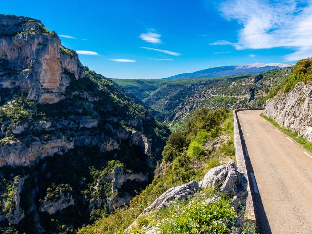
As you hike, you can admire a breathtaking panorama of the Provence-Alpes-Côte d’Azur region. To the south, the lower Durance valley rolls out its hills, with the Sainte-Victoire mountain so often painted by Paul Cézanne as a backdrop. To the north, the Calavon valley with its perched villages, the Vaucluse mountains and, reaching up into the clouds, the Mont Ventoux, the giant of Provence.

We invite you to bring suitable equipment. Walking shoes are highly recommended: some paths are steep and slippery. We also invite you to bring enough water, a hat and sunglasses to protect you from the sun.

Practical information

The Cedar Forest is accessible by car.

  • From Lourmarin, take the D943 and then the D36 towards Bonnieux. A little less than 3 km after taking the D36, you take a road at a right angle that goes to the left (signposted “Forêt des Cèdres”)
  • From Bonnieux, take the D36 towards Lourmarin. Look out for a right-angled road on the right, less than 1.5 km after leaving the village (signposted “Forêt des Cèdres”)

Follow the forest road for approximately 5km to the car park at the entrance to the site.

Access to the site may be forbidden depending on weather conditions, particularly in periods of drought, high temperatures or strong winds. You can find out more online at https://www.risque-prevention-incendie.fr/vaucluse/

Close