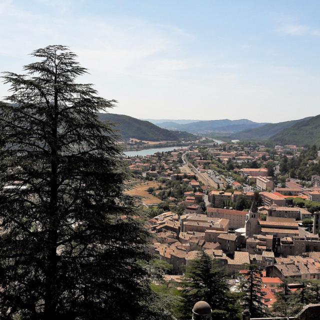
A mountain range between Hautes-Alpes, Drôme and Isère
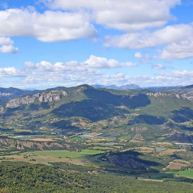
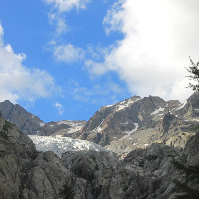
The landscapes of the Dévoluy massif are marked by erosion, with numerous valleys and major scree slopes. Covering an area of around 185km², the Dévoluy has many peaks over 2,000 metres in altitude. Its highest peak, L’Obiou, rises to 2,789 metres. The Souloise is the main river in the massif, which also has a number of torrents. Forests of beech, fir and Scots pine, meadows, fields, grazing areas and pastures make up the vast majority of the vegetation.
There are three roads leading to the villages of Dévoluy. To the south, the road follows the River Béoux over the Col du Festre, at an altitude of 1441 metres. To the north, the route passes through the Souloise gorge before reaching the Lac du Sautet. To the east, a winding road leads from the upper Drac and Champsaur valleys over the Col du Noyer, at an altitude of 1664 metres.
