Sisteron DuranceSisteron Durance
©Sisteron Durance|Dallaporta A.

Durance Valley

Taking its source in the Southern Alps, in Montgenèvre, the Durance River covers more than 320 kilometers and flows into the Rhône in Avignon. It has shaped the landscape, irrigated fertile lands and given birth to many villages. The Durance valley is home to some of the most beautiful tourist destinations in Provence-Alpes-Côte d’Azur and the south of France.

The Haute Durance Valley

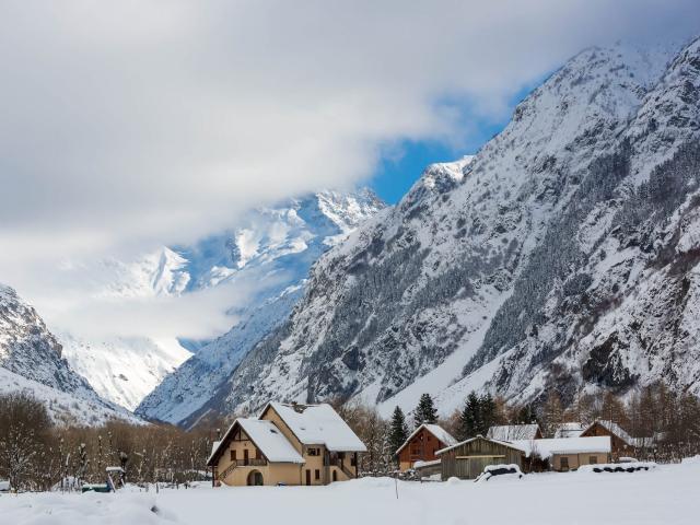
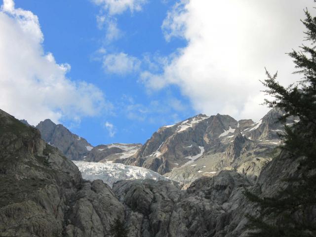
The water of  the Durance River gush from a spring nestled at 2,459 meters above sea level, on the eastern slope of the Mont des Anges. The Haute Durance Valley extends from Montgenèvre to Châteauroux-les-Alpes and remains wild, showing almost no impact of the human activities.

Going down the course of the Durance from its source, you will pass through the town of Briançon. With its ramparts and citadels fortified by Vauban, Briançon is a small town of character, with a very rich historical heritage. The fortress of Montdauphin was erected by King Louis XIV’s builder. It shelters within its walls a real village and locks the Durance valley at the confluence with the Guil river.

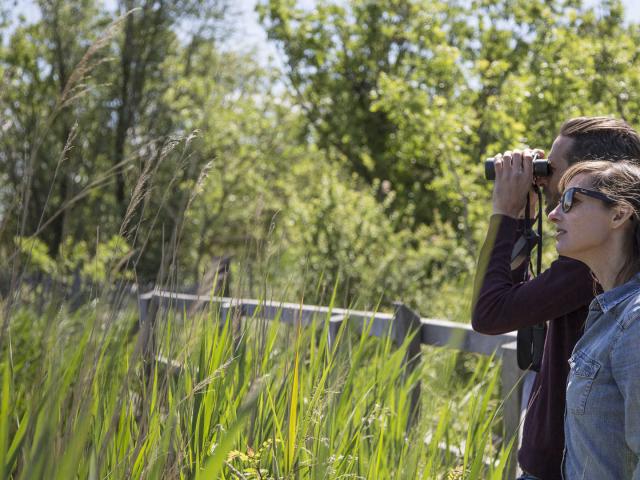
Nature and outdoor activity lovers will enjoy the Haute Durance valley. It is an ideal playground for hiking, rafting, canyoning, climbing, cycling, mountain biking, or even going on a via ferrata… In winter, you can go skiing in the resorts of Montgenèvre, Serre Chevalier, les Orres or Réallon…
The Serre-Ponçon lake

The Durance often overflows due to snow melting and thunderstorms. It has repeatedly caused deadly floods. In order to reduce the flow and avoid these floods, a water reservoir was set up in the XXth century downstream of Embrun, at the confluence of the Ubaye valley. This titanic works, completed in 1959, gave birth to a huge artificial lake with a surface area of 28 km².

The Serre-Ponçon Lake has become a major tourist destination in the Hautes-Alpes, and many water sports and activities can be practiced there: swimming, stand-up paddle, boat rental, kayaking, towed buoys, jet-skiing, boating on small sailing boats…

Sisteron, city and citadel

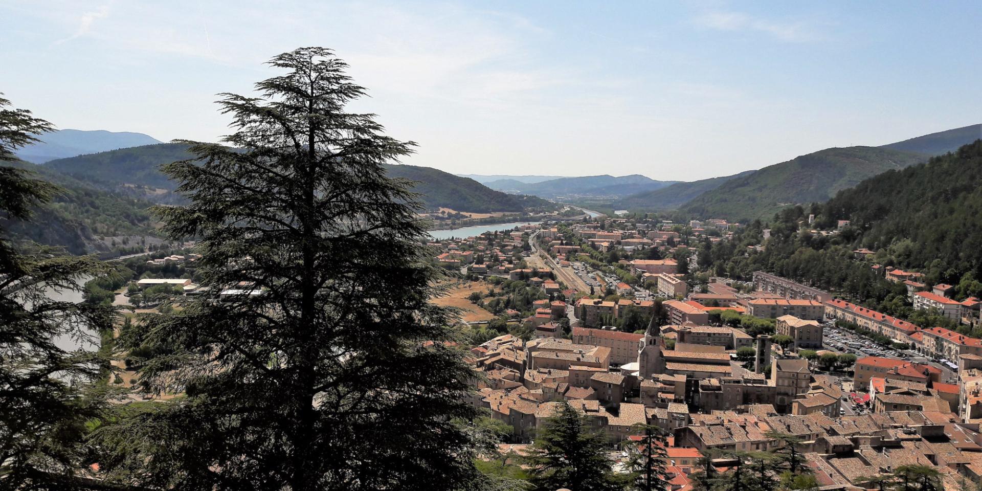
Down along the Durance valley, you will come across Sisteron. The town is located on a promontory. It used to have a prominent military role. Its powerful citadel was redesigned by Vauban and erected on bare rock.

The historic center and the citadel of Sisteron is a major tourist attraction in the Durance valley with its houses nestled at the foot of the cliffs, ramparts and bastions. From the highest ramparts, the view is breathtaking.

Voir cette publication sur Instagram


Une publication partagée par VhdU07 (@vhdu07) le

The Durance Valley

West of Haute Provence, the Durance Valley welcomes you at the base of the Lure mountain and wooded hills. Discover the village des Mées, nestled at the base of the Valensole plateau, renowned for its lavender fields.

The Val de Durance has been shaped by man, who planted numerous orchards and tens of thousands of olive trees. Discover its local heritage such as a chapel or the ruins of a medieval castle…

South of the Luberon

The Durance valley represents the southern border of the Luberon Regional Natural Park. Discover some picturesque villages there such as La Tour d’Aigues or Grambois. The movies “La Gloire de mon Père” and “Le Château de ma Mère” were filmed there. Lourmarin and Ansouis, both labeled “Beautiful Villages of France”, are also part of the must-see visits.

The Verdon and the Durance connect upstream from the village of Saint-Paul-lez-Durance, between Manosque and Pertuis.


Voir cette publication sur Instagram


Une publication partagée par Ville d’Avignon (@_.avignon._) le

Avignon and Comtat Venaissin

From Pertuis, the Durance valley goes northward. Sneaking between the massifs of the Luberon and the Alpilles, it irrigates the fertile lands of the former Comtat Venaissin, a pontifical state which belonged to the sovereign pontiffs until the French Revolution. This is a peaceful and welcoming touristic territory with its towns and villages of character, wooded hills, fields and vineyards.

The Durance and the Rhône valleys connect in Avignon. The papal city was established at the confluence of the Rhône and its tributary, the Durance. Your escapade will end with the discovery of a remarkable historical and cultural heritage, with the visit of the Palais des Papes “Popes’ Palace”, the Calvet museum and the Petit Palais museum.

A high value water

In Provence, where water can be scarce during summer, the Durance River is a real blessing for mankind with its watershed of more than 14,200 km².

Since the XIXth century, the “Canal de Marseille” has brought water to the people of Marseille, which until then didn’t have enough. From the Pertuis bridge, it runs for nearly 80 kilometers. It spans the Arc valley thanks to the construction of the Roquefavour aqueduct, an impressive stone bridge that is reminiscent of the ancient Roman aqueducts.

Built in 1966, the Canal EDF diverts part of the waters of the Durance from the town of Espinasses to the Étang de Berre. It supplies drinking water to many towns, provides the water necessary for irrigation and hosts several hydroelectric power stations along its route.

A rich nature

From its source in Montgenèvre, at 2,459 meters, the river covers 320 kilometers before connecting to the Rhone. From the Southern Alps to Provence, it  crosses a wide variety of landscapes. Meadows in the high mountains, larch and coniferous forests in the mid-mountains, hills covered with Mediterranean species, fields, orchards and vineyards are home to a particularly varied flora and fauna. Numerous mammals, birds, flowers and plants can be observed there, including some rare endemic species.

Nature lovers can enjoy it throughout the year and practice many activities: rafting, skiing and winter sports in the Haute Durance, water sports on Lake Serre-Ponçon, climbing, biking, mountain biking, hiking, horse riding or paragliding on its entire course…

A territory encapsulating Provence

The Durance valley crosses five departments: gushing in the Hautes-Alpes, the river then makes its bed in the Alpes de Haute Provence. It serves as a natural border between the Bouches-du-Rhône and the Vaucluse, and a part of it runs in the Var department.

By following this natural route that connects the Rhone Valley to the Southern Alps, you will discover some of the most beautiful tourist destinations in the Provence-Alpes-Côte d’Azur region.

Practical information

The Ecrins Guide Office offers a wide range of outdoor activities all year round: mountaineering, rafting, canyoning, climbing, hiking, via ferrata…

You can find accommodation in the hamlet of Ailefroide, which offers camping, hotels and vacation rentals. The villages of Pelvoux and Vallouise also offer a wide choice of accommodation for all budgets. If you are planning multi-day hikes, book your huts in advance.

You can only get to to the Pré de Madame Carle by car in summer. You have to take the N94 between Gap and Briançon and turn off at L’Argentière-la-Bessée toward Les Vigneaux, Vallouise, Pelvoux and then Ailefroide.

You will find at the Pré de Madame Carle a large parking lot and a reception center managed by the Ecrins National Natural Park.

Close