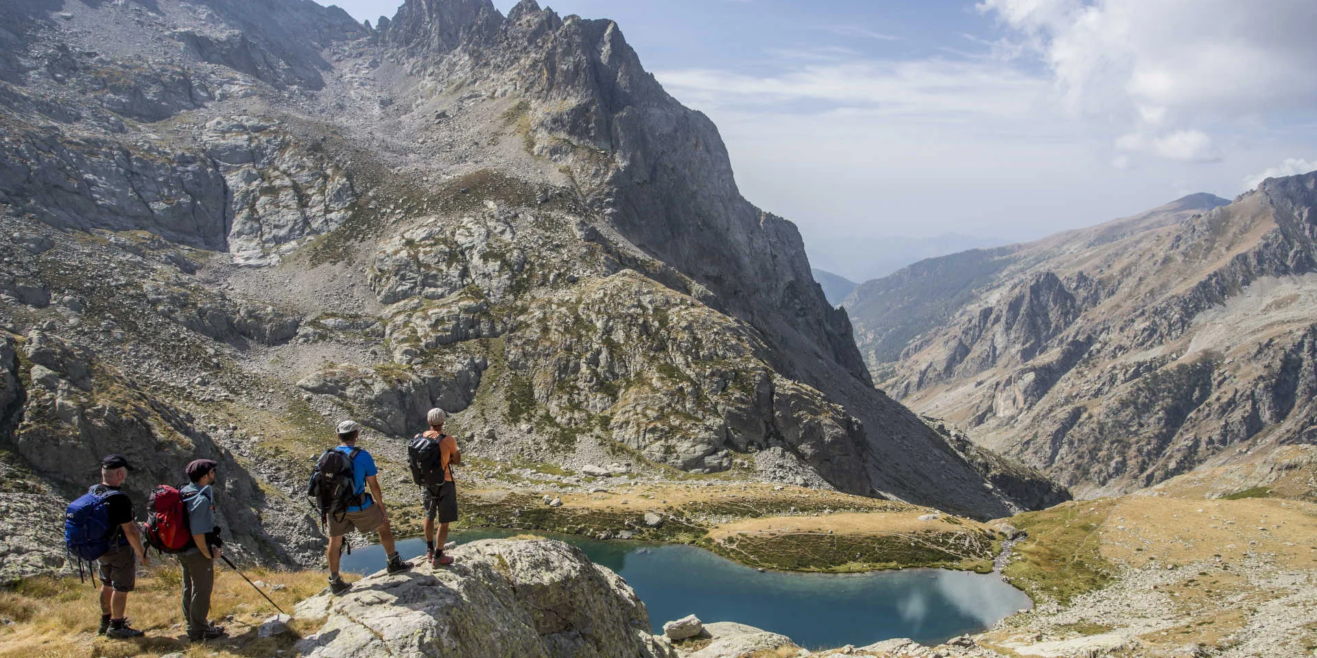
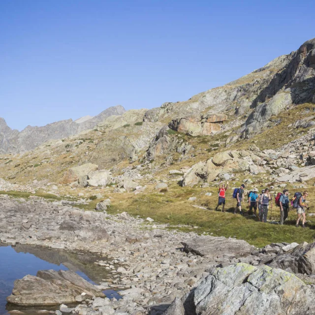
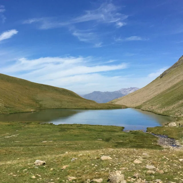
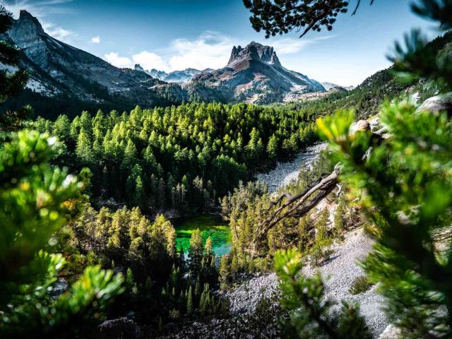
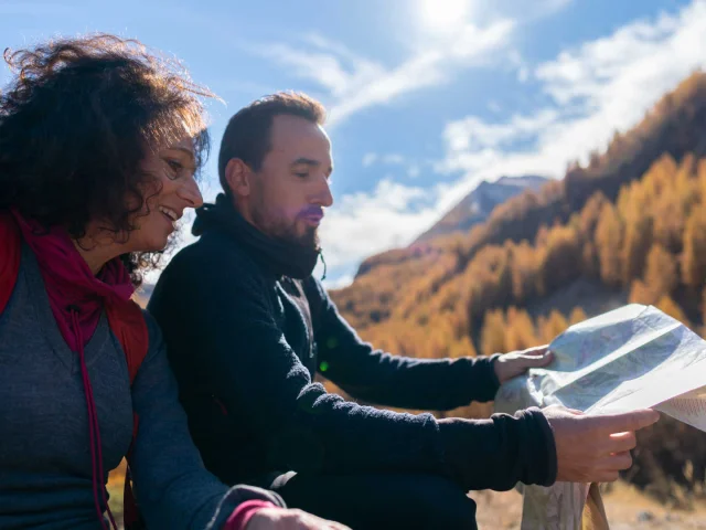
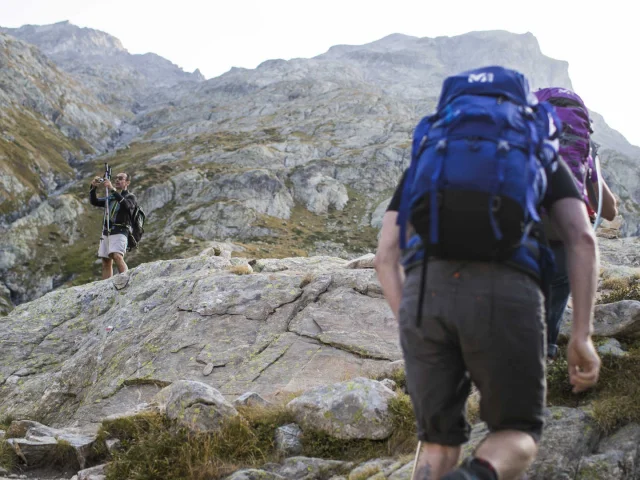
Group hiking at Lac Autier in the MercantourGroup hiking with a guide at Lac Autier in the Mercantour National Park in the Alpes-Maritimes
©Group hiking with a guide at Lac Autier in the Mercantour National Park|Rondeau.E

Top long-distance hiking trails in the French Southern Alps

The South of France is full of sentiers de Grande Randonnée (GR® – long-distance hiking trails) and Grande Randonnée de Pays (GR® P) trails which offer keen hikers breathtaking landscapes. From the Mediterranean coast to the Alpine peaks, and over the plateaus of Provence, each itinerary reveals a unique facet of the French Southern Alps. Here is a selection of the best trails to explore.

GR® 4: from the Atlantic to the Mediterranean

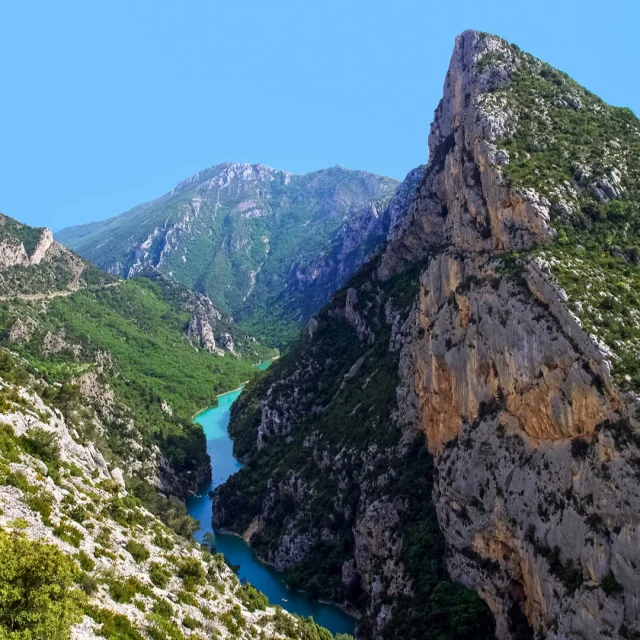
With a total length of 1531 km, the GR® 4 crosses France from Grasse to Royan (Charente-Maritime), linking the Côte d’Azur and the Atlantic coast. In the South of France, it allows a long crossing of the most emblematic areas in Provence. It starts in the Pays de Grasse and reaches the Verdon, where it ventures into the great canyon along the famous Blanc-Martel trail alongside the riverbed. When it reaches the lake of Sainte-Croix, it shares part of the trail with the GR® P du Tour des Balcons du Verdon, which offers a splendid view of the landscapes of the Valensole plateau. The GR® 4 then continues towards the Luberon, with its fields of lavender and picturesque villages and meets up with the GR® P du Tour du Grand Luberon as it approaches Céreste. It then goes on towards Mont Ventoux, crossing on its way the GR® P du Tour du Massif du Ventoux, until it reaches the top at 1910 metres. Lastly, it goes back down the slopes of the “Géant de Provence” and crosses the Rhône Valley as it leaves the Vaucluse on its way to the Cévennes.
GR® 5: La Grande Traversée des Alpes

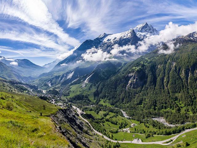
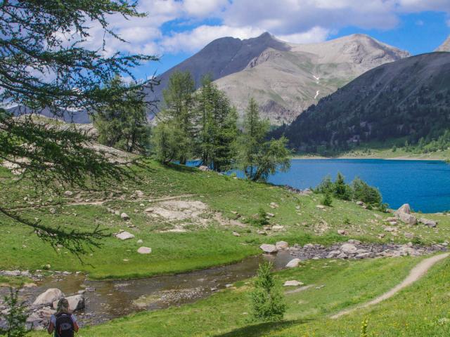
The GR® 5 links Rotterdam to Nice, and also goes through Belgium. The southern part of the itinerary, which leaves from Lake Léman to reach the Mediterranean, is called « Grande Traversée des Alpes ». It has about forty stages which will take you on a discovery of the incredible biodiversity of the French Southern Alps and the wide variety of landscapes which characterize it: snow-covered peaks, Alpine pastures, huts, mountain villages, high altitude deserts and last of all, the hinterland of Nice and the Côte d’Azur. On the way, the GR® 5 goes through the Queyras Natural Regional Park, in which there are several magnificent GR® P. Among them, we can mention the Tour de la Dent de Ratier and the Tour de la Font Sancte, fairly demanding hiking itineraries which offer a beautiful immersion in the mountains through forests of larches and panoramic cols.

GR® 6: From the Provencal Alps to Arcachon

This itinerary links Saint-Paul-sur-Ubaye, in the Alpes-de-Haute-Provence, to Arcachon, in the Gironde. In the South, it offers an itinerary between high mountains and Provencal landscapes, and the adventure starts in the 100% Alpine setting of the Haute Vallée de l’Ubaye, with its peaks and lakes. It then goes through the Blanche Valley to Sisteron and its historic citadel. Next comes the passage on the Montagne de Lure, a land which inspired the novels by Jean Giono, and where the GR® 6 crosses the GR® P de la Grande Traversée des Préalpes, and takes you through the landscapes and villages which make Haute-Provence so beautiful. After this, the GR® 6reaches the Luberon massif, where several itineraries which are part of the great GR® P Luberon – Monts de Vaucluse, come together, allowing you to discover, among others, the Pays d’Apt, the Colorado Provençal, the gorges of Oppedette… Last of all, the GR® trail ends its crossing of Provence in the Alpilles Natural Regional Park, with the remarkable village of Les Baux-de-Provence, perched on its rocky spur.

GR® 51: Balcons de la Méditerranée

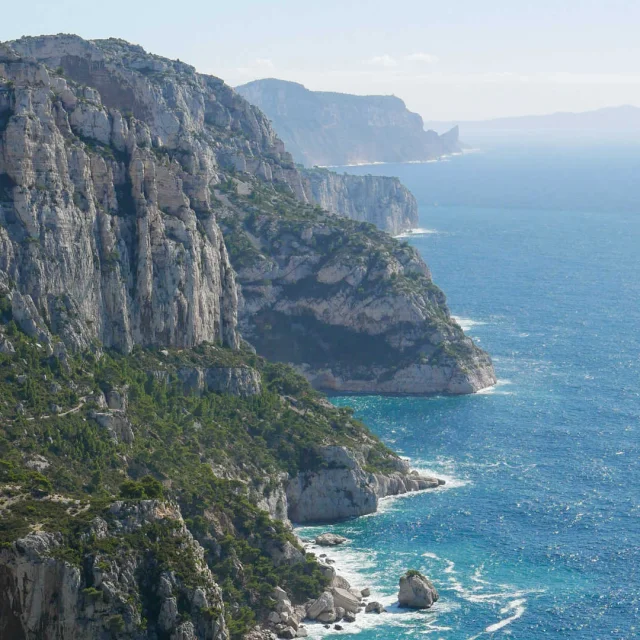
From Menton to La Madrague, the itinerary of the GR® 51 follows the Mediterranean coastline. It begins its adventure in the Nice hinterland and the Pays de Grasse, the land of perfumers, before going on to the Estérel massif and its famous red rocks. It’s no coincidence that the GR® 51’s nickname is « the balconies of the Mediterranean »: it takes you up high while you stay near the coast, and offers incredible views over the sea! After the Esteral, it goes deeper into the Var hinterland. It follows the Via Aurelia, traced in the third century by the Romans and which is now one of the official routes to get to St. James of Compostella. As it continues its course, the GR® 51 crosses the GR® P de la Boucle de la Sainte-Baume where you can explore the very diverse wildlife of this Natural Regional Park. It then returns to the water’s edge to reach the last Mediterranean balconies of the GR® 51 in the Calanques National Park, with its cliffs plunging straight into the blue water of the sea.

GR® 52: Grande traversée du Mercantour

The GR® 52 goes through the Alpes-Maritimes from north to south over a distance of 220 km. It starts in Saint-Dalmas-Valdeblore and stretches to the Côte d’Azur in Menton. The itinerary takes you deep into the MercantourNational Park and goes through one of the most remarkable natural areas in the South of France: the Vallée des Merveilles. Made up of breathtaking landscapes and superb lakes, such as the Lac Long Supérieur, it is also home to a historic treasure. There are around 40,000 rock engravings spread over 17 square kilometres around Mont Bégo, which culminates at 2872 metres. It’s a real open-air archaeological museum, listed as a historic monument in 1989, which adds to the feeling of timelessness that the Vallée des Merveilles procures. Next, the GR® 52 continues South, past the village of Sospel, around which there are some particularly interesting viewpoints where you can contemplate the Mediterranean coast on one side and the peaks of the Mercantour on the other. The itinerary ends gently by the waterside in the colourful world of Menton.

GR® 69: La Routo®

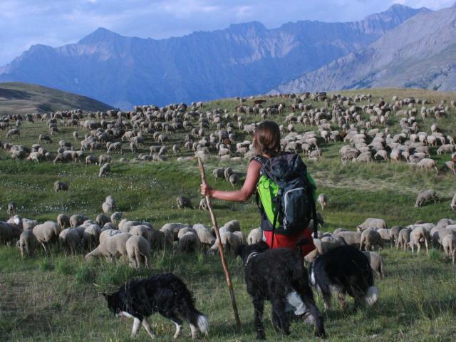
Starting in Arles, this GR® goes through the Provence-Alpes-Côte-d’Azur Region to reach Italy and ends in Borgo San Dalmazzo. It takes its name from the Occitan expression “far la routo” which means to move to summer pastures. The itinerary aims at helping walkers to discover transhumance trails through several days of hiking. As it follows the drailles and the carraires, terms derived from Occitan to designate the trails and sheep tracks taken by the shepherds and their flocks, the GR® 69 La Routo® takes you on a discovery of the remarkable sites linked to pastoral activity. It starts in the north of the Camargue, goes through the Alpilles, and the Pays d’Aix, where it climbs the Montagne Sainte-Victoire, continues to the Valensole plateau and then Digne-les-Bains. From there, it ventures into increasingly mountainous landscapes, going up through Haute-Provence and Barcelonnette and the Ubaye Valley, and then continues its ascent to reach the Col de Larche, where it enters Italy. In this transborder sector, a number of GR® P have been marked, such as the Tour de l’Oronaye, la frontière fortifiée, le circuit des 4 lacs … Oh, and one last thing: the GR® 69 La Routo® can be taken in both directions. You can either “amontagner” (literally go up the mountain – follow the route up to the Alpine pastures), or « démontagner » (go down the mountain – come down from the Alpine pastures). It’s up to you!

Close