Description
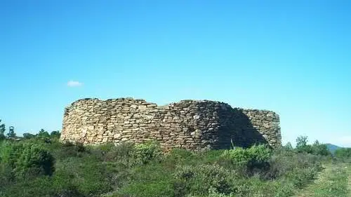
Discover this site located at an altitude of 600 metres above the Lambert plateau in the Collobrières hills.
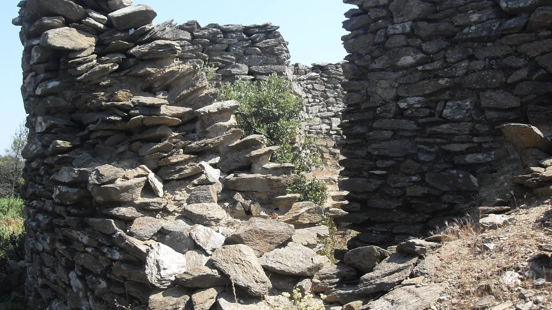
This 600-metre-high peak in the heart of the Maures massif marks the boundary between the communes of Collobrières and Bormes les Mimosas.
It was also here that the Germans built Station No. 37 Telemach Y Geräte Jägermess Stellung, occupied by the 20th Company of the Luftwaffe's Ln-Rgt52.
This friendly fighter control and guidance station consisted of:
- the concentration of the 3 Freya radars, 150 to 200m apart to the west,
- the equipment making up the 3 Y Lines in the eastern part,
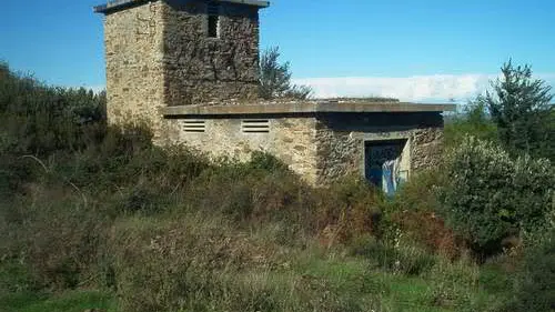
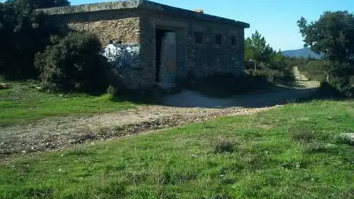
- 3 casemates containing the operators and the equipment needed to operate the "Heinrich Towers" (direction-finding equipment),
- 3 casemates housing the "Hans Pylons", transmitters implementing the IFF system embarked in the friendly fighter aircraft,
- a Heinrich Tower and a Hans Pylon forming a Y-Line.
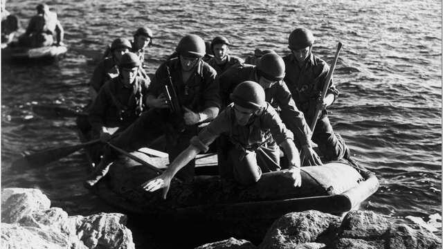
On 16 August 1944, Vallier and his men, accompanied by village resistance fighters, attacked the radar station, but the enemy had already left. The station seems never to have been in service.
Pedestrian access only