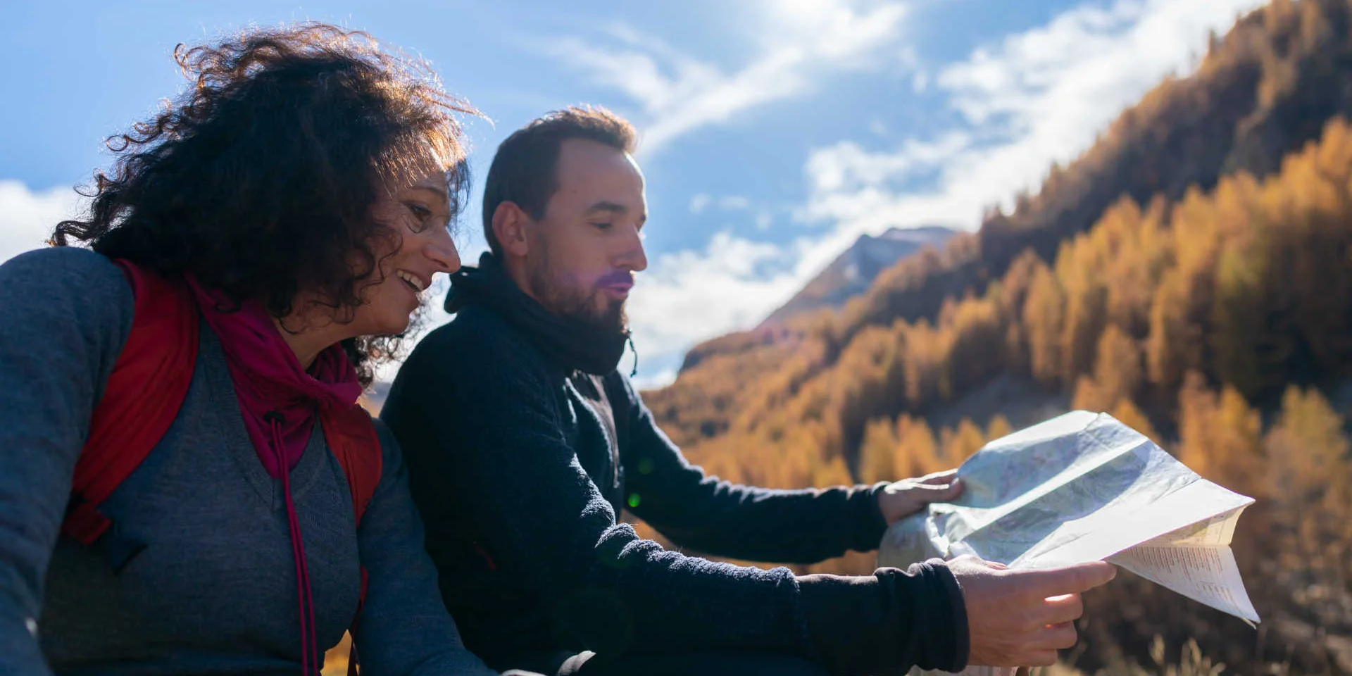
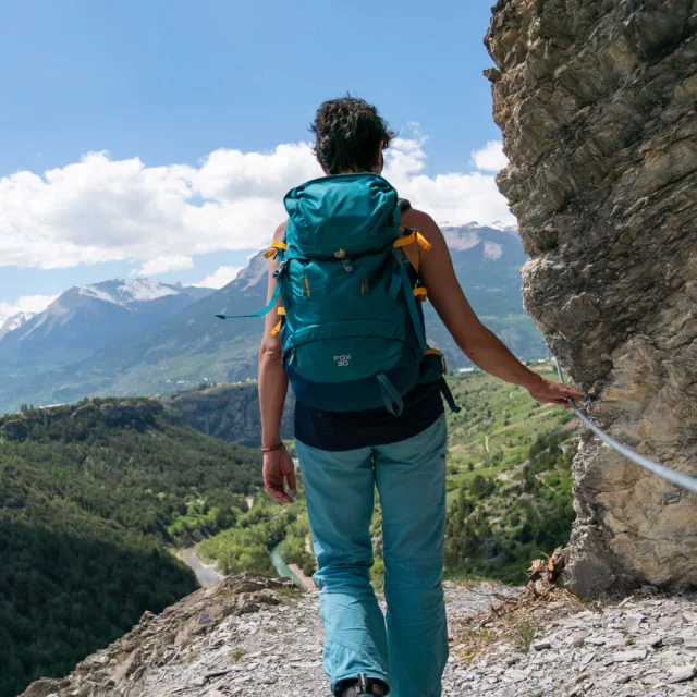
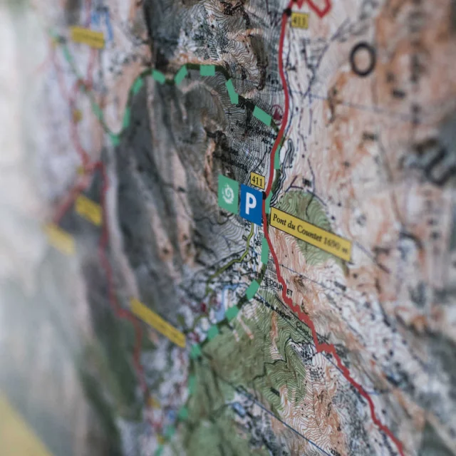
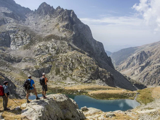
Hikers looking at a mapHikers looking at a map in the Haut Verdon in the Alpes de Haute Provence
©Hikers looking at a map in the Haut Verdon|Van Rijn.R

Walking on the hiking trails in the South of France: best practices

To enjoy hiking to the full, you need to be well prepared. Find out how to understand the trail markings, assess the level of difficulty, hike responsibly, anticipate weather conditions and adopt the right attitude around herds of sheep. Have a good read and a good hike!

Understanding way markings

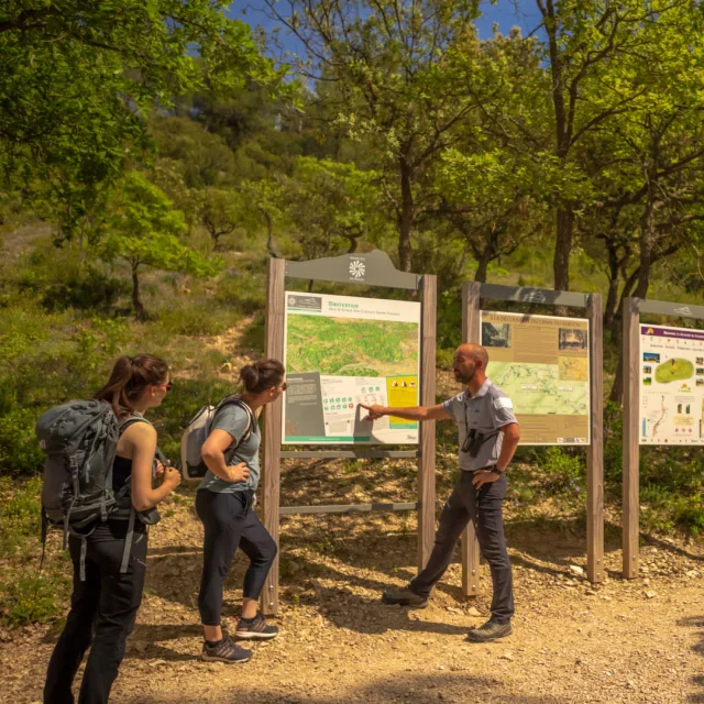
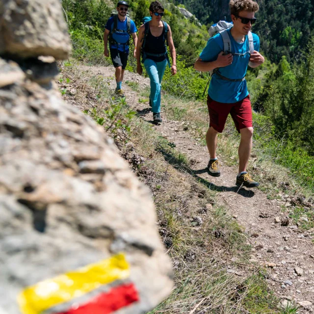
In some places such as the Luberon, the Mont Ventoux, the north of the Bouches-du-Rhône and even the Queyras, many trails intersect: GR®, GR® P, PR… so it is important to keep track. What is the difference between the different denominations? The Grande Randonnée® (GR®) trails form itineraries of several days on a fairly large territory like the Balcons de la Méditerranée (GR® 51) which goes from Marseille to Menton. The Grande Randonnée® de Pays (GR® P) trails form loops of several days in smaller perimeters: they are designed more to discover a particular territory, such as the GR® P de la Montagne Sainte-Baume. As for the Promenade et Randonnée (PR) trails, they generally form a loop of a maximum of one day. To know which type of trail you are on, see the markings: a red bar and a white bar show a GR®, a red bar and a yellow bar a GR® P, whereas a single yellow bar shows a PR. Lastly, remember this if you don’t want to get it wrong: a bat or arrow indicates the right direction, and a cross warns you this is the wrong way!
Understanding the level of difficulty

Before launching into the Grande Traversée des Alpes or the Mercantour, it is important to find out the level of difficulty you will be faced with. A rating system has been set up by the FFRandonnée which provides 3 criteria to define the levels. First of all, the effort relative to the physical difficulty of the hike. Next, the technicality, to assess the technical and motor difficulty, and particularly the presence and size of obstacles. Lastly, the risk, to identify the difficulty relative to the danger of falling or slipping according to the configuration of the terrain. If you would like to have a particular itinerary assessed, download the route and enter it into the l’outil de calcul FFRandonnée/IBP, which will give you all the information and the IBP index which defines the level of difficulty of the hike. In the South, many PR are identified as easy and low-risk. As for the GR® and GR® P, even if they are often more demanding, it all depends on the stage you choose. For example, the GR® 69 – La Routo is globally considered as difficult, but stage 4, which links Salon-de-Provence to Pélissanne, is rated as easy! Please note that some online itineraries show the level of difficulty directly and the FFRandonnée topoguides are beginning to integrate this rating.

Responsible hiking

We must all take care of the environment to protect the natural milieus that the trails take us through and respect a few basic rules: stay on the trails, let the flowers and plants grow in peace, do not make fires, keep your dog on a leash, close gates and fences behind you and pick up your garbage. There are also strict regulations for protecting what are known as the “cœur de Parc” (heart of the park) areas in national parks. In the Sud region, this concerns three territories: the Mercantour National Park, the Écrins National Park and the Calanques National Park. Find out about the best practices for protecting these fragile, protected areas. You can even be an actor in the protection of hiking sites. The Suricate network, in association with the Minister in charge of Sports, makes it possible to list all the irregularities, way marking mistakes, incivility, dangers, and obstacles encountered as you hike. If you come across a problem, report it on the dedicated site or the mobile app. Nature is counting on you!

Checking conditions and anticipating hazards

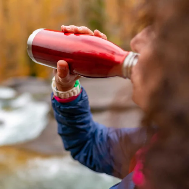
What will the weather be like for your hike? Whether it’s a storm at high altitude, on the GR® 5 de la Grande Traversée des Alpes trails or a heatwave on the GR® 51 des Balcons de la Méditerranée trail, the weather is a pivotal parameter to take into account! Remember to find out about the weather conditions, by referring in particular to Météo France levels of vigilance (green, yellow, orange and red) and equip yourself accordingly. Be sure, for example, to have enough water, particularly in periods of extreme heat, the correct «comfort temperature» sleeping bag and perfectly rainproof clothing… In the summer season, remember to find out about the fire risk in the area where you are with the météo des forêts (forest weather forecast).

Preparing your hike

Whether you don’t yet know which hike to choose or you already have an idea, take your time to understand your itinerary. Topoguides can be very useful and they’ll be your bible all along your walking adventure. They show the route of your hike stage by stage, indicate the level of difficulty and the height difference, give you fascinating information about the territory you are exploring and are a useful memo to remember the hiker’s best practices. To supplement them, you can also download the Chemins des Parcs mobile app, which allows you to access itineraries which go through the Sud region’s national parks and all relative information: length, difficulty, recommendations, remarkable points of interest. A very useful tool for a well-prepared hike full of discoveries! One last thing, remember to consult the local tourist offices’ sites to check access to the trails you want to hike as certain territories and ranges have some restrictions.

Coming across herds of sheep: the right attitude

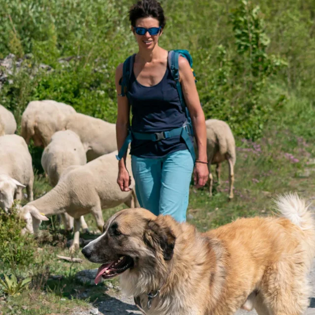
During your hike through the Alpine pastures, and especially if you are following the GR® 69 La Routo itinerary, you may come across a shepherd, his herd… and his dogs! To make this moment a pleasant danger-free one, here are a few rules to respect: keep away from the herd and go around the animals’ pasturing or resting area. If this is not possible, the sheepdog will come and check that you are not a threat. To show him that you are not a predator for his herd, adopt the right attitude: do not try to stroke it, avoid brusque or dominating movements, and do not run. More generally speaking, we would advise you not to take your dog on a hiking trail where you are likely to meet herds of sheep!

Close