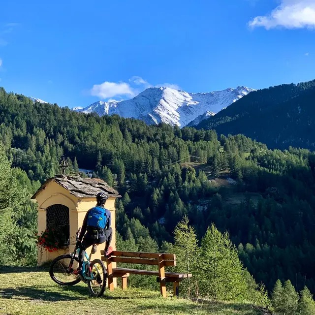
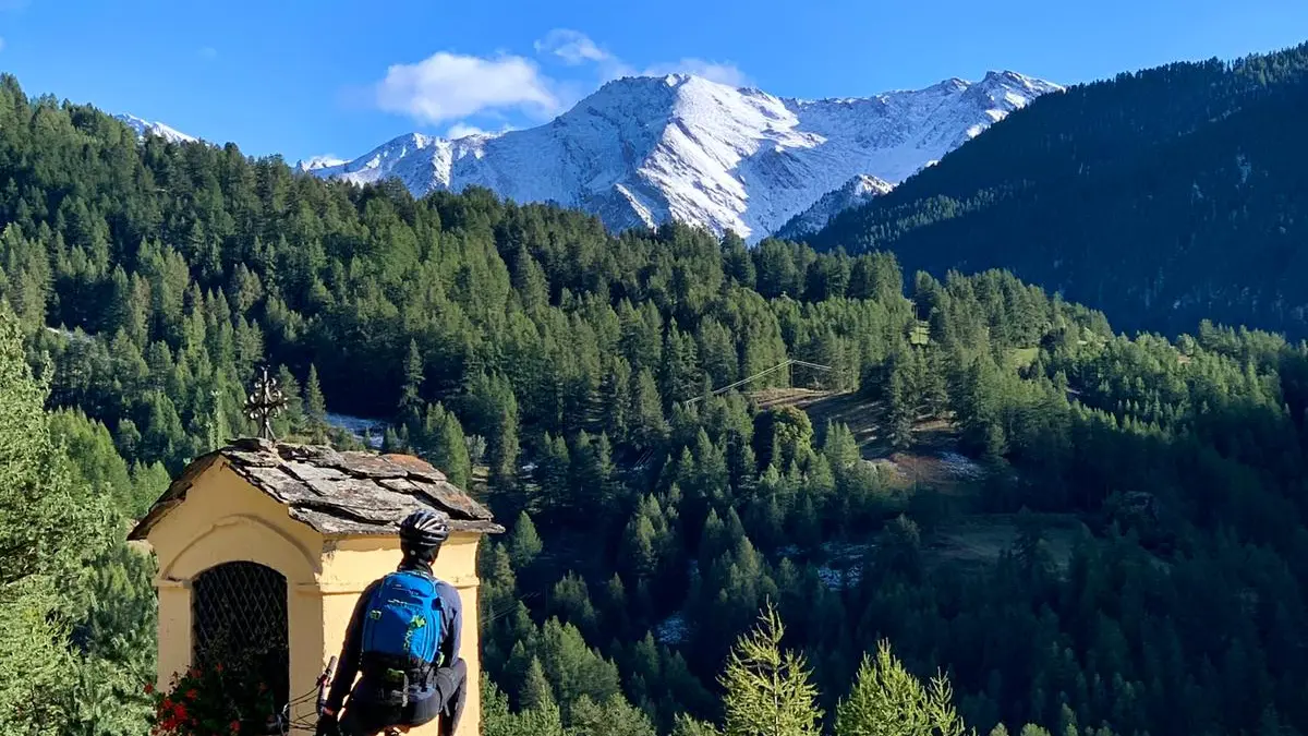
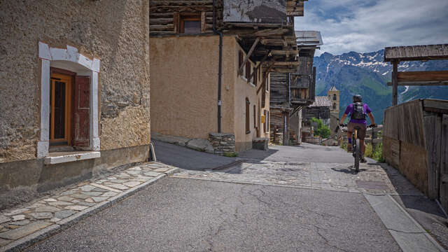
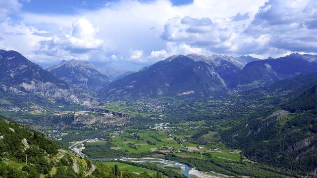
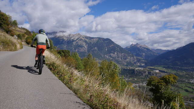
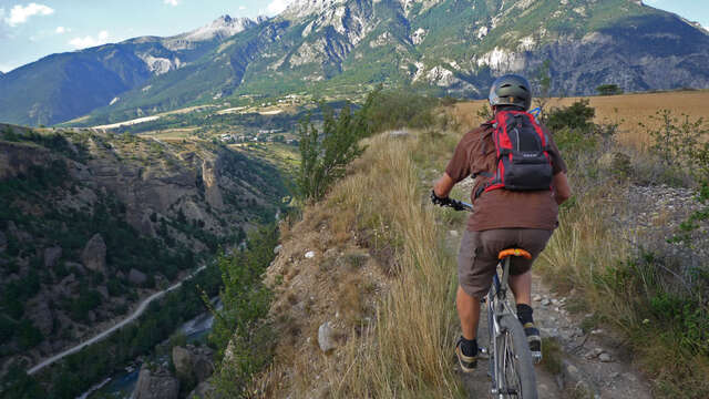
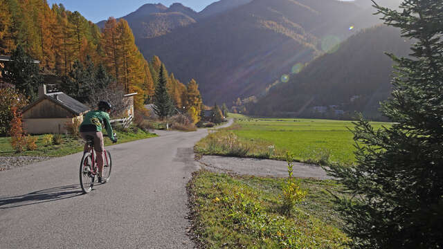
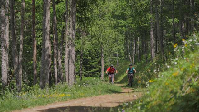
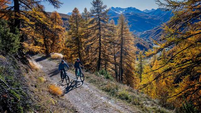
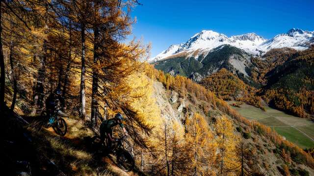
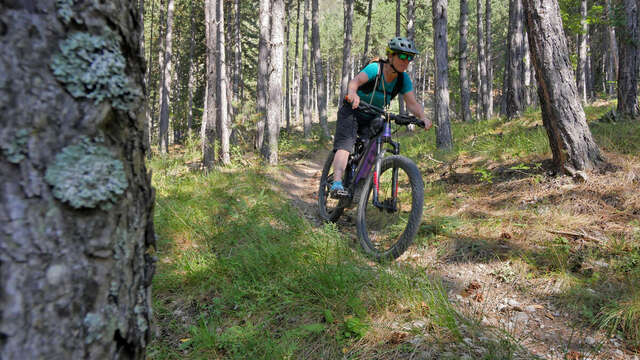
An aerial tour featuring views of mountain peaks, cultural heritage, and geological treasures.
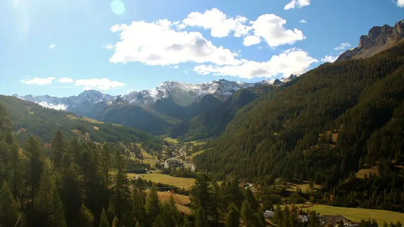
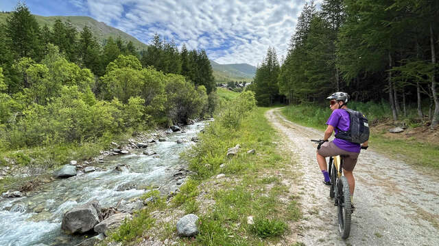
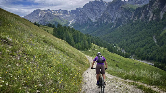
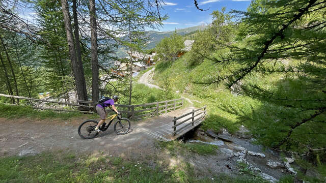
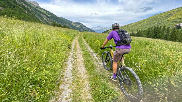
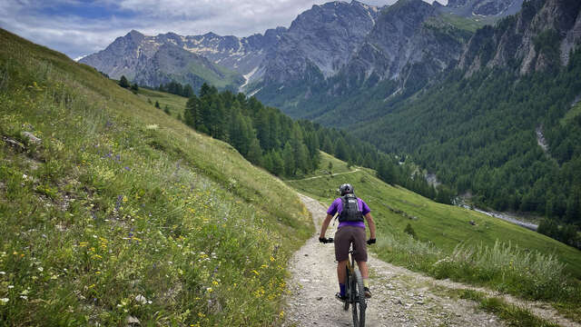
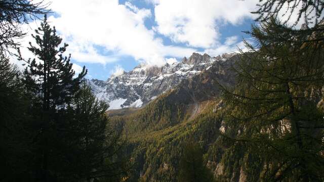
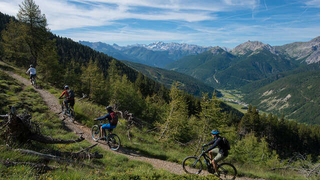
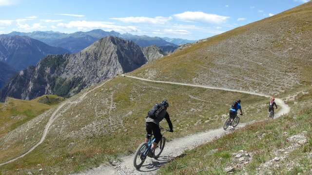
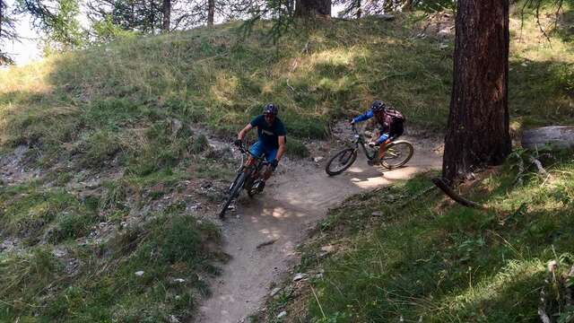
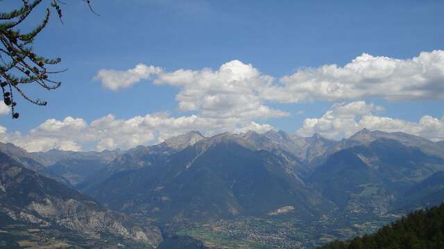
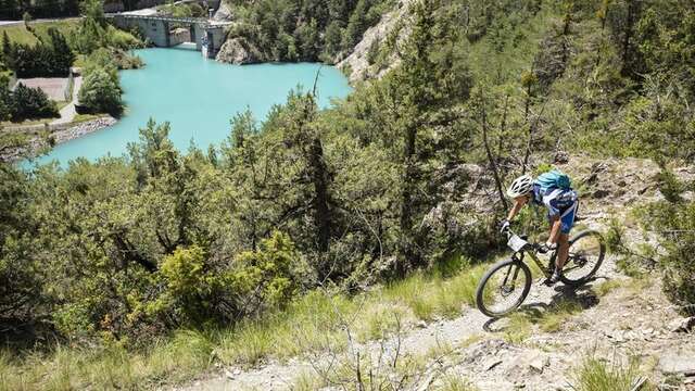
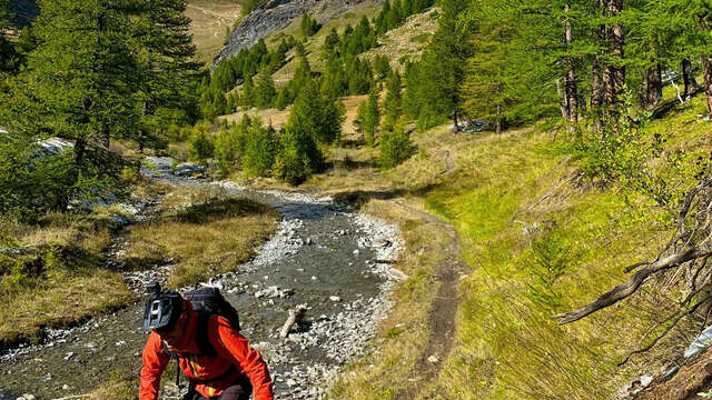
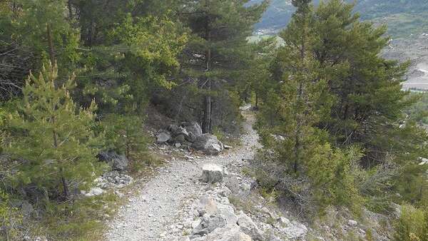
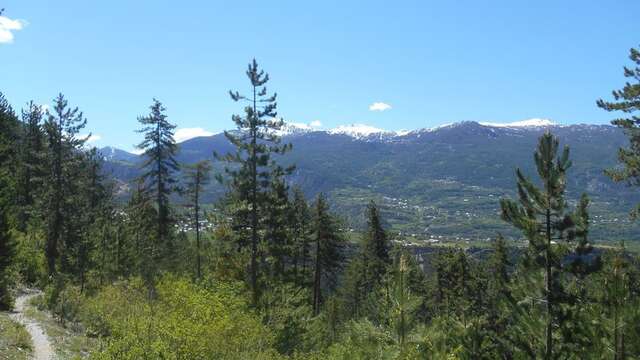
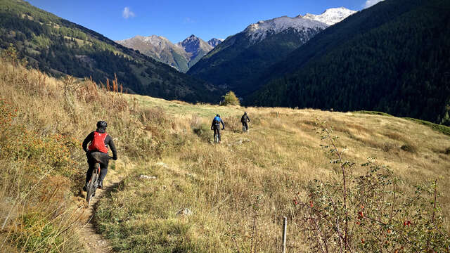
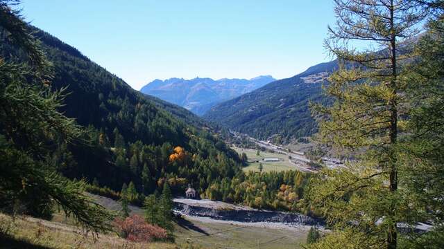
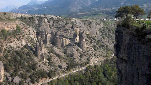
Starting from Clot la Chalpe, you’ll head to the hamlet of La Chalp and then turn off toward Pierre Grosse, where you can admire the Aigue Agnelle Valley and its peaks: the Pic du Fond de Peynin, the Grand Queyras, the Pic de Foréant, and the Pain de Sucre. The trail then follows the Pierre Dimanche Canal, which for centuries supplied water to the villages of Molines-en-Queyras and Ville Vieille. Along the way, you’ll also come across a “demoiselle coiffée”—a rock formation that stands like a mysterious guardian of these highlands. The descent becomes progressively easier and is fairly smooth.
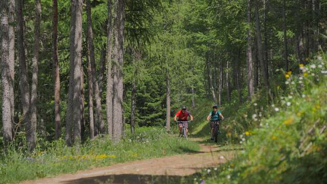
Various types of users share this route: hikers, herds, and trail runners. For more information on the presence of herds, click the link to the dedicated website of the Queyras Regional Nature Park in the “Documentation” tab below.
The route is open to the public year-round. It is accessible depending on weather and snow conditions. You should therefore bring appropriate gear.