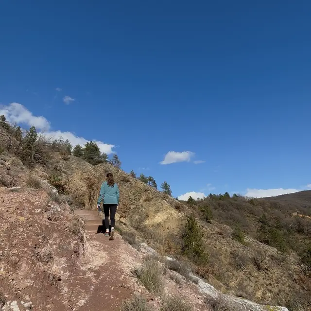
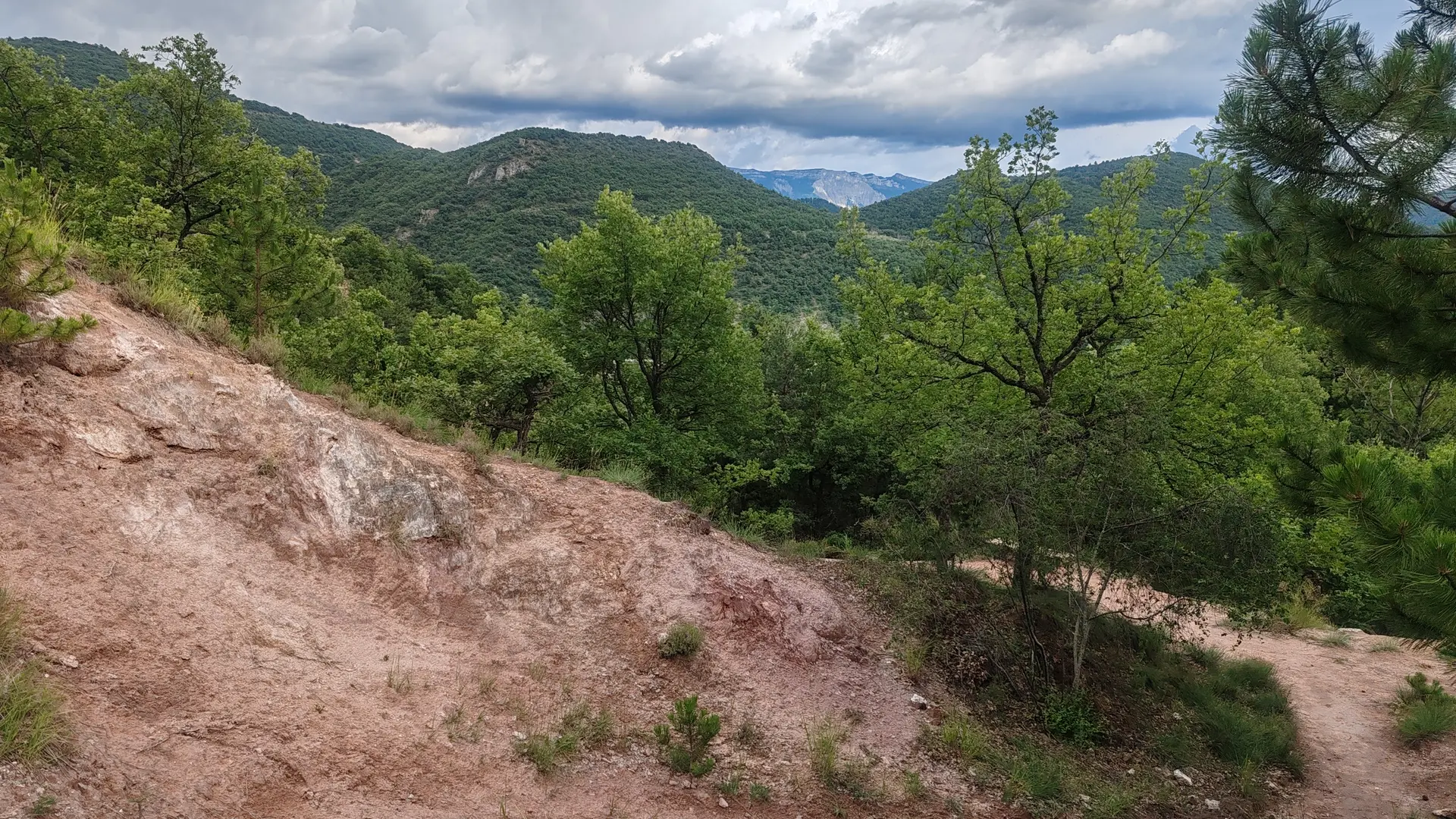
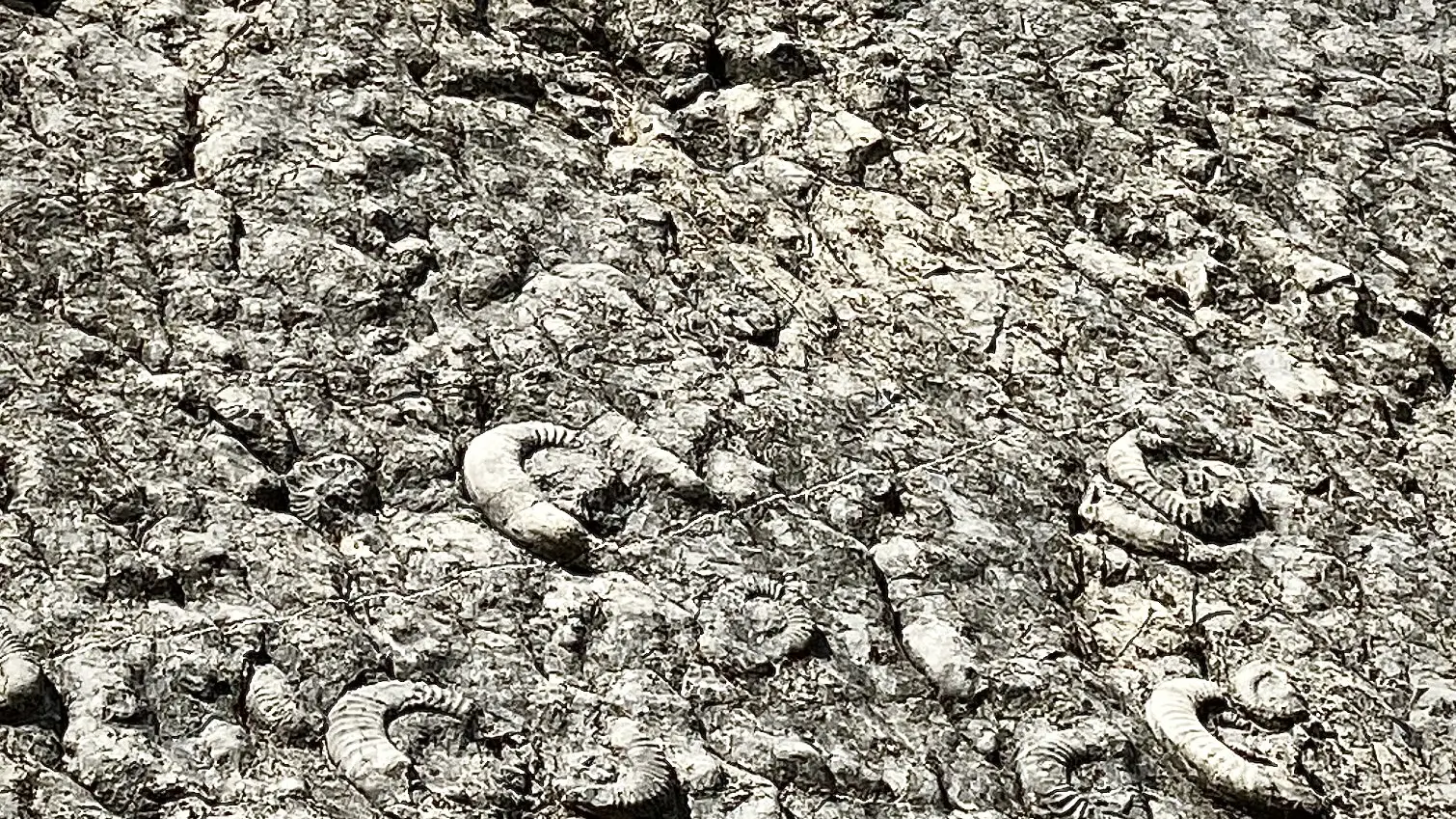
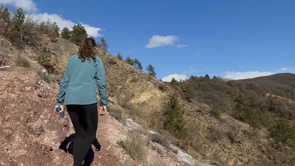
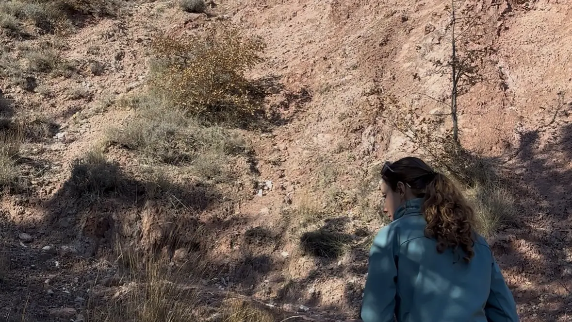
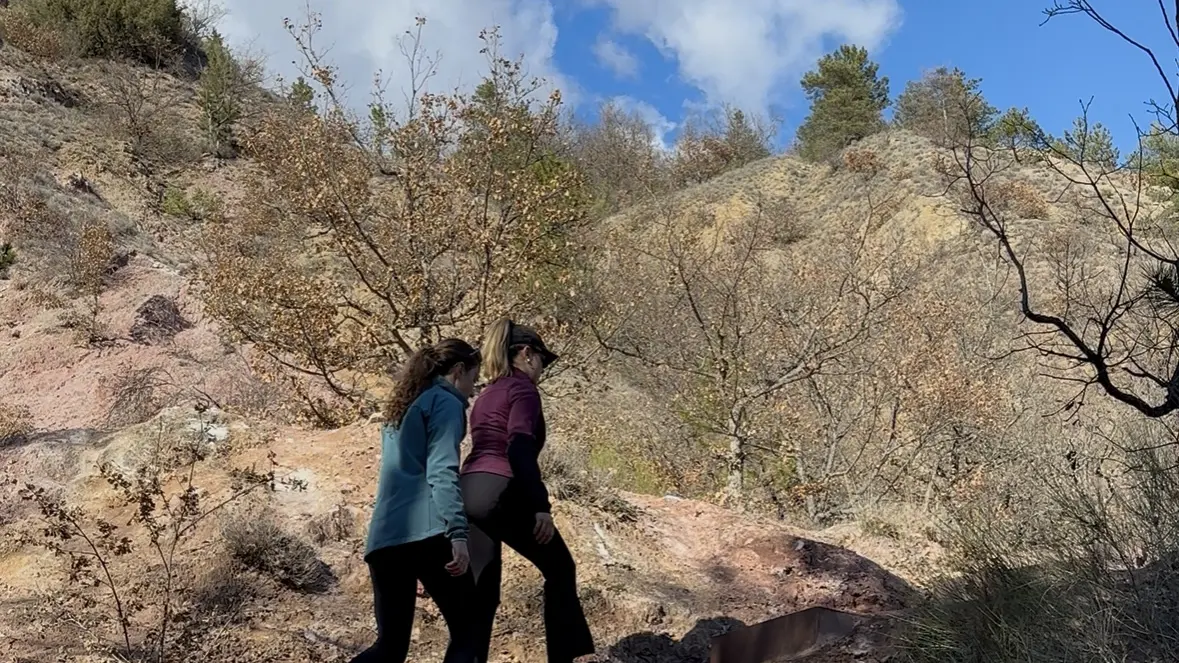
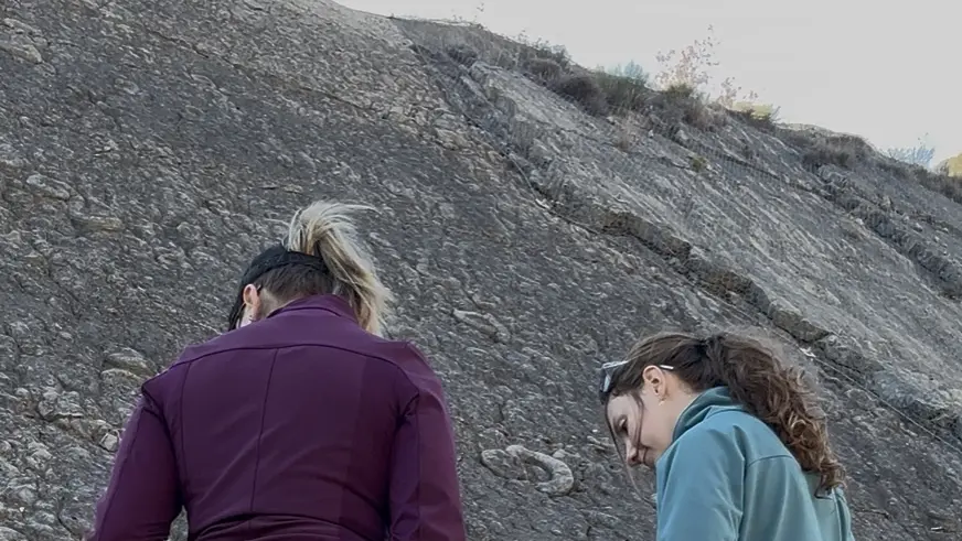
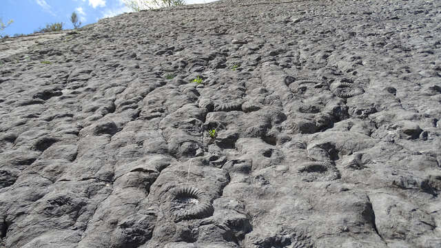
Loop starting from the Promenade Museum passing by the Plâtrières, the Dalle aux ammonites and returning by the gentle route. Please note: The visit to the promenade museum is subject to a fee.With more than 1500 ammonite and nautilus fossils grouped together over an area of 320 m², the ammonite slab is undoubtedly the emblematic site of the Geopark of Haute Provence.
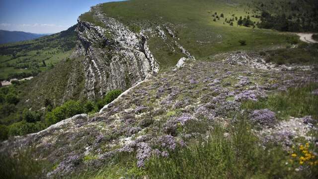
To understand the emergence of this seabed, we must return to the “Lias” (Lower Jurassic). At this time, our region is literally underwater, the marine space is deepening and expanding through ocean expansion. The sea is then teeming with life and marine animals are abundant.
The ammonite slab, as well as nearby sites, bear witness to the early stages of the development of the Alpine chain and what life was like in this ocean before the rise of the Alps. They allow us to understand the environment and the conditions that reigned at the time of these seabeds.
Today we can observe more than 1500 ammonites of all sizes on this “ammonite slab”, the largest are up to 70 cm in diameter!
The very good preservation of the shells once again allows us to bear witness to the marine activity of the time.
Their scientific name, coroniceras multicostatum, allows us to date the slab to around 200 million years old.