See photos (3)

Brouis

Sport, Pedestrian sports, Hiking itinerary in La Croix-Valmer
Unresolved hours
4.0 km
1h 15min
Very easy
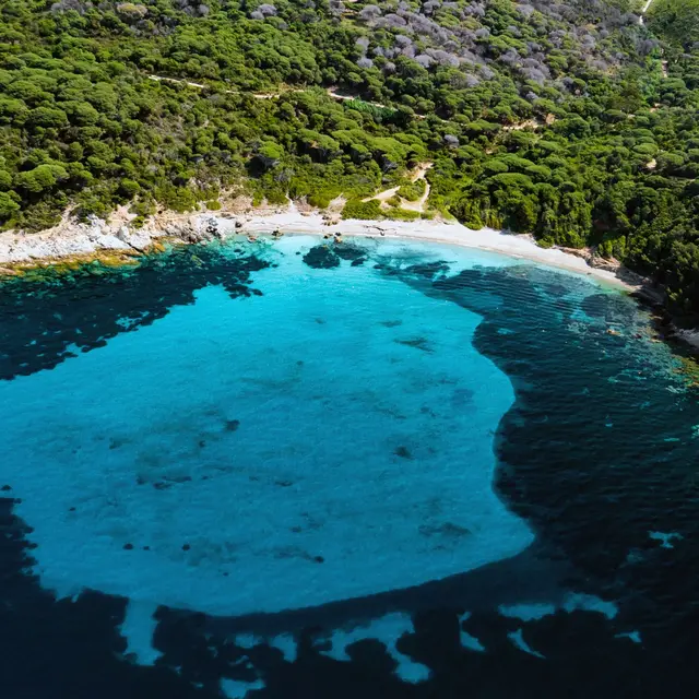
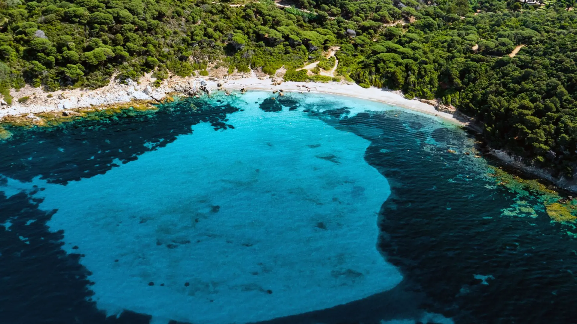
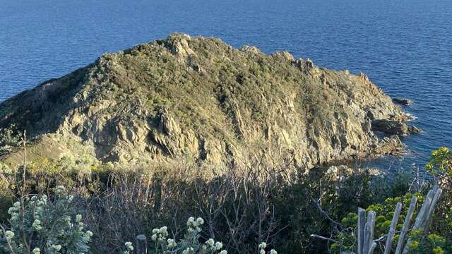
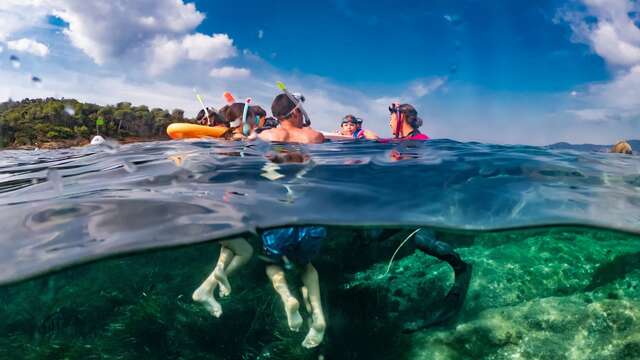
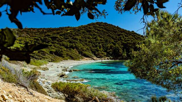
  • Take the coastal path from Gigaro beach. A exceptional and carefully protected natural environment, take the opportunity to have a swim break at Jovat beach, then visit the marine Trail of the crocodile island.

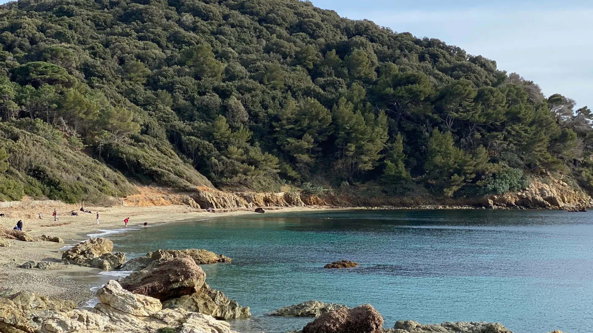
  • Follow the yellow markings. From Plage de Gigaro, at the entrance of the Domaine du Cap Lardier, take the coastal footpath and walk all the way to Plage des Brouis.

    Once at the beach, walk uphill towards Route Forestière de Gigaro. At the intersection, turn left and head back to the entrance of the Domaine du Cap Lardier.

    Hiking shoes recommended. Bring water and a hat.
  • Departure
    La Croix-Valmer
  • Difference in height
    81.3333 m
  • Plain text period
    All year round.
    Check the status of the mountain ranges on the internet or on the Tourist Office website before setting off on your hike.

    Subject to favorable weather.
  • Environment
    • Near shuttle stop
    • Close to a public transportation
    • Beach within 300 m
    • Sea view
    • In a nature reserve
    • Coastal
  • Documentation
    GPX / KML files allow you to export the trail of your hike to your GPS (or other navigation tool)
81 meters of difference in height
Created with Highcharts 6.2.0Distance (km)Altitude (m)0 km0.25 km0.5 km0.75 km1 km1.25 km1.5 km1.75 km2 km2.25 km2.5 km2.75 km3 km3.25 km3.5 km3.75 km4 km0 m10 m20 m30 m40 m50 m60 m70 mHighcharts.com
  • Maximum altitude : 62 m
  • Minimum altitude : 2 m
  • Total positive elevation : 81 m
  • Total negative elevation : -81 m
  • Max positive elevation : 26 m
  • Min positive elevation : -20 m
Services
  • Equipment
    • Public WC
    • Parking nearby
    • Charging stations for electric vehicles
  • Services
    • Pets welcome
      • Dogs are accepted in the area of Cap Lardier, as long as they are kept on a leash. They have the right to access the beaches, if only to cross.