To get to Villars-Colmars by car, you can take the tarmac road to the hamlet of Chasse. Once there, head for the Chapelle Saint-Raphaël, one of the region's historic jewels.
This chapel is mentioned in the minutes of pastoral visits as early as 1697, testifying to its historical importance. Take the time to visit this building before continuing your tour.
The trail starts after the chapel, along a forest track that leads to the Office National des Forêts (ONF) gate. From here, continue on foot along the path to the Cabane des Sagnes. This hut has been completely renovated to accommodate shepherds during the summer months and preserve the pastoral heritage of the Chasse valley. Take this opportunity to admire the beauty of the surrounding landscape.
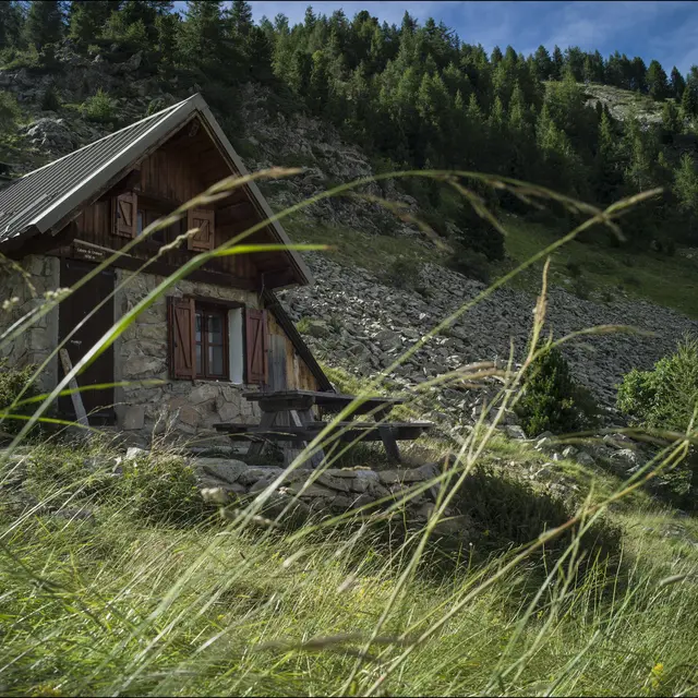
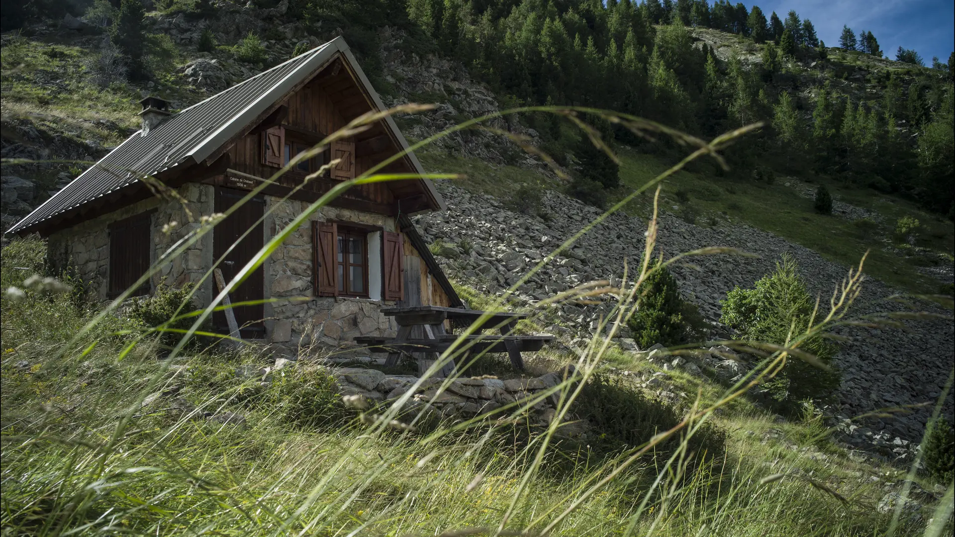
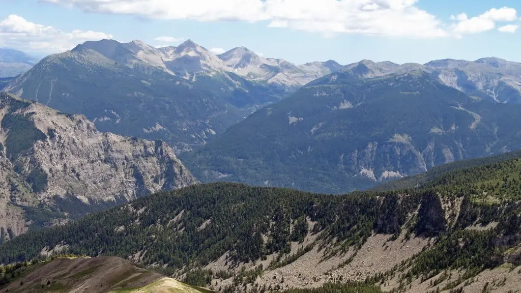
The route then continues uphill to the Chabaud pastoral hut, offering a panoramic view of the region. It then loops back to the Joyeuse hut, allowing you to explore the valley further.
This route is ideal for nature lovers and pastoral heritage enthusiasts. Take your time to appreciate the tranquility of the area and the richness of the surrounding landscape.