- Departure from the lower bridge, turn left of the hydroelectric dam
- Pass next to the wash house in Place Rousse and walk along the fortifications wall to the beacon 3
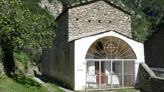
- Continue to the Saint Antoine Hermit chapel and pass under the Genoa gate to an oratory (tag 105)
- Take the winding path to the left which rises through narrow terraces of abandoned olive trees
- Arrival at the houses of Vesaire
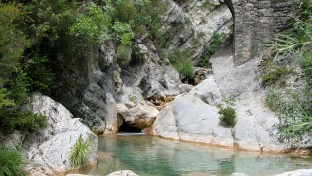
- After the remains of the old quarry, we arrive at the heart of the upper basin of the Carléva (890 m)
- Arrive at tag 107, start the dive towards the Roya valley by a steep path then by the admirable paved path of Rougna (tag 104)
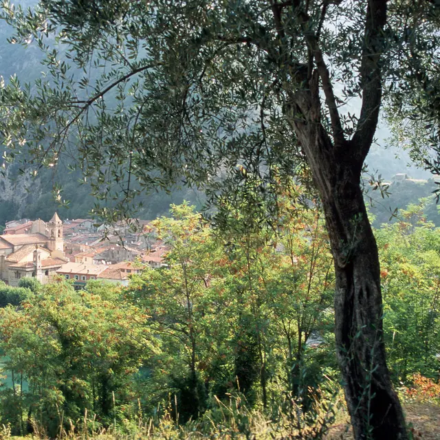
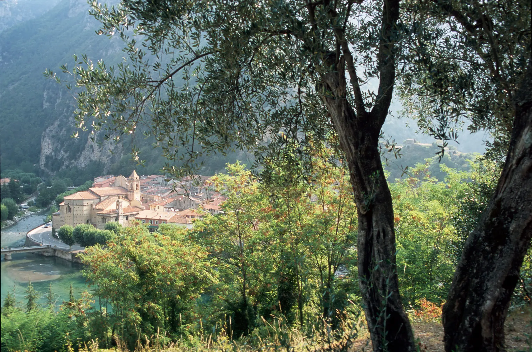
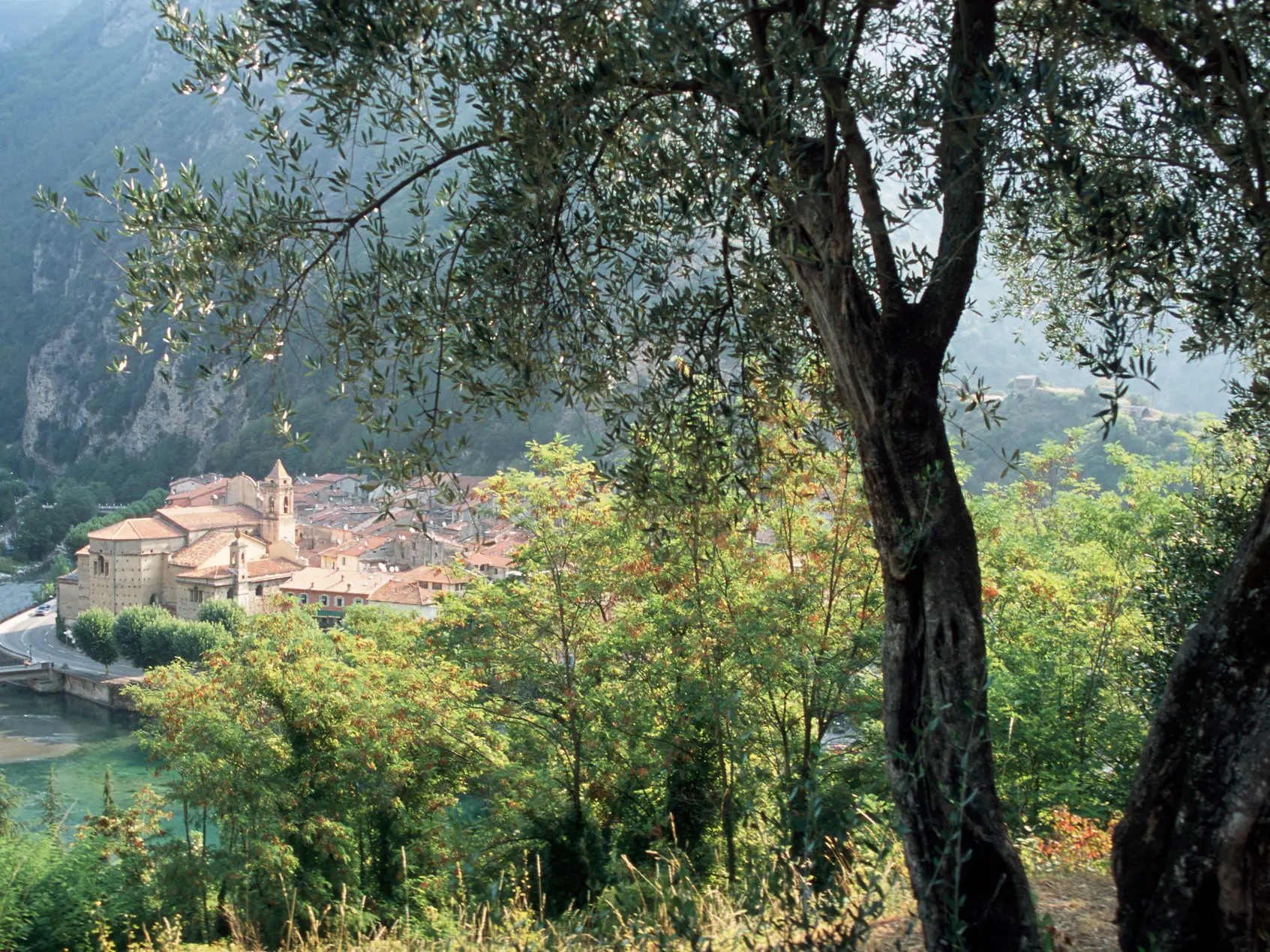
-We return to Breil-sur-Roya via the old bridge over the Carleva.