Col de Péas

  • Sport
  • Pedestrian sports
  • Hiking itinerary
Elevation : 2040m
186 rue de la Mairie, 05100 Cervières

Description

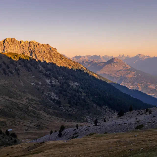
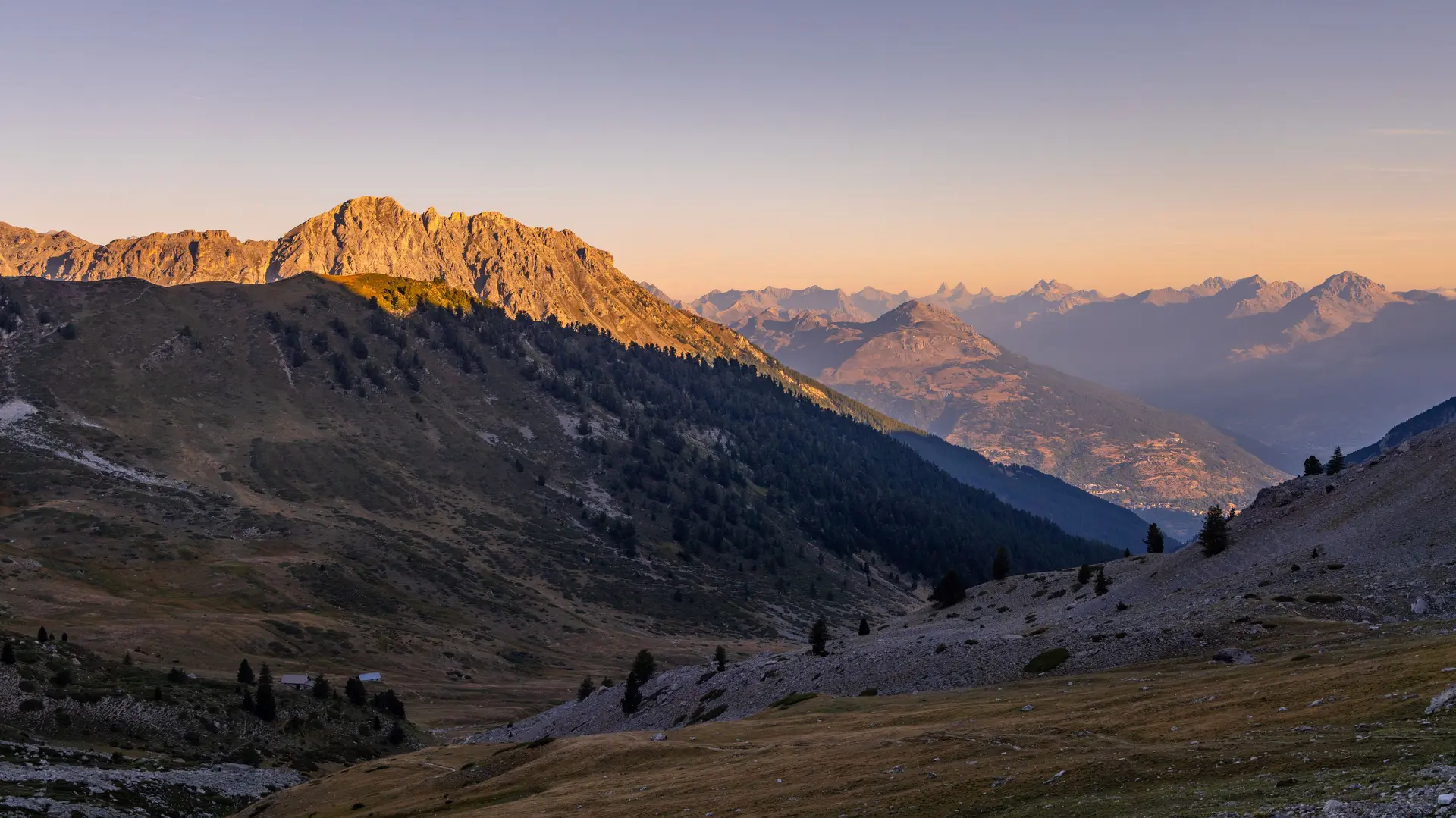
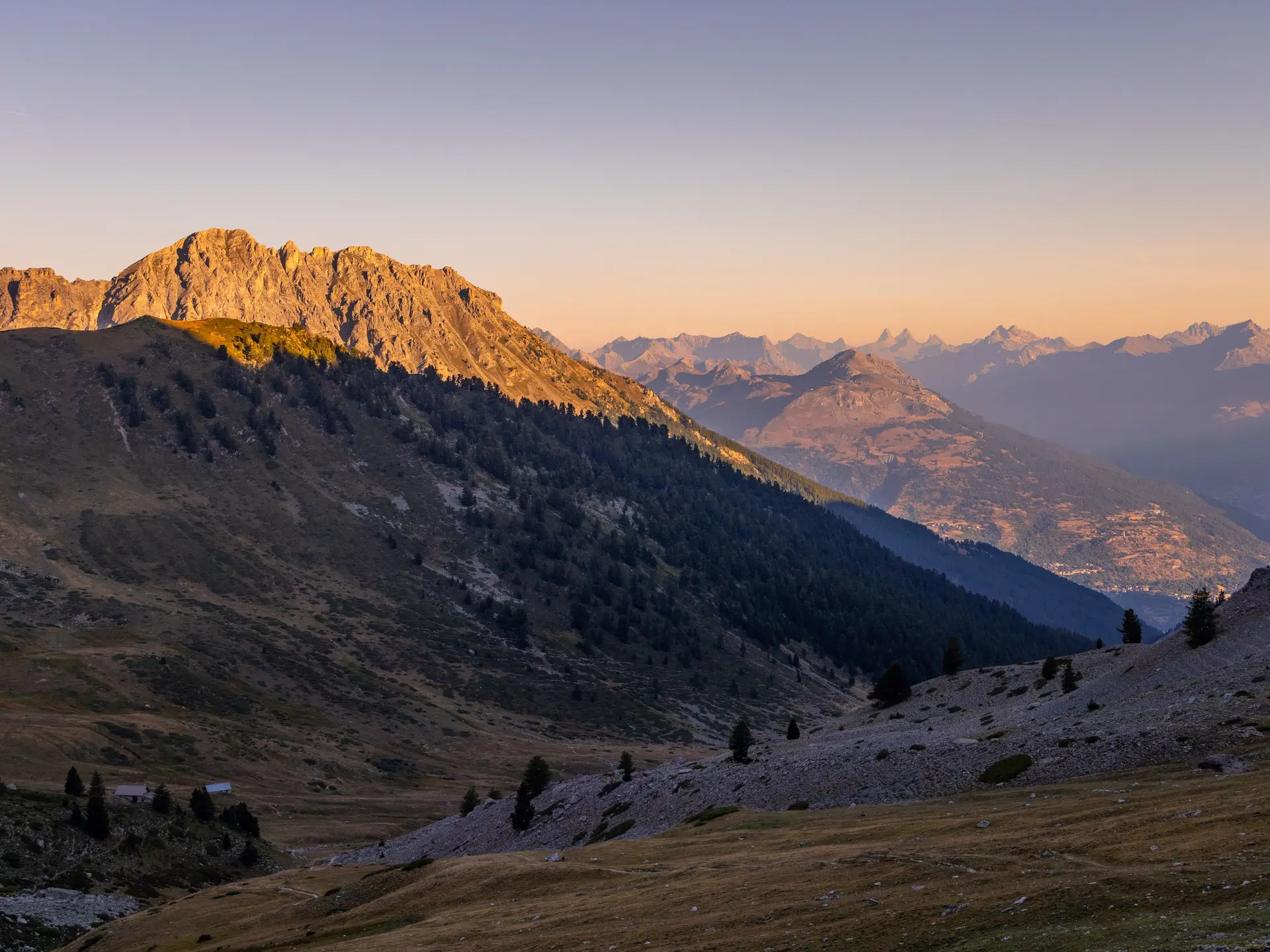
Aerial hiking route through the Fonts de Cervières
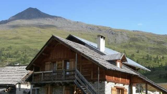
Cross the hamlet of Les Fonts de Cervières and reach a bridge 100 m further on. Cross the bridge. Take the path opposite towards Col de Péas. Continue along this path, always straight ahead, towards the pass. At around 2200 m altitude, ignore the path leading off to the right towards Lac des Cordes (a variant of the GR 58) and continue straight ahead. Climb up the Chalmettes ravine to the Col de Péas. Return by the same route.
Plain text period
From 01/06 to 15/11 daily.

Subject to favorable snow and weather conditions.

Services

Animals accepted

Accepted customers

  • Level bue - Medium

Environment

  • Mountain location
Updated on 15 April 2026 at 14:58
by Office de tourisme des Hautes Vallées - La Grave - La Clarée - L'Izoard
(Offer identifier : 6837237)
Report mistake
Filter search
Page types
  • All
  • Articles
  • Agenda
  • Lists