Away from the crowds, this wild hike will take you through the magnificent Acles valley to the Col des Acles, marking the border between Italy and France.
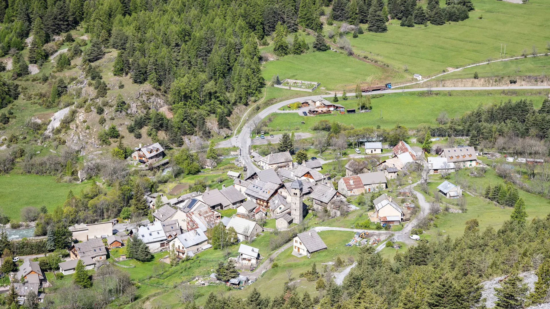
From the Plampinet parking lot, cross the bridge, then turn left to pass the Chapelle Notre Dame des Grâces, then continue towards the Auberge de la Cleida (follow signs for "Col des Acles").
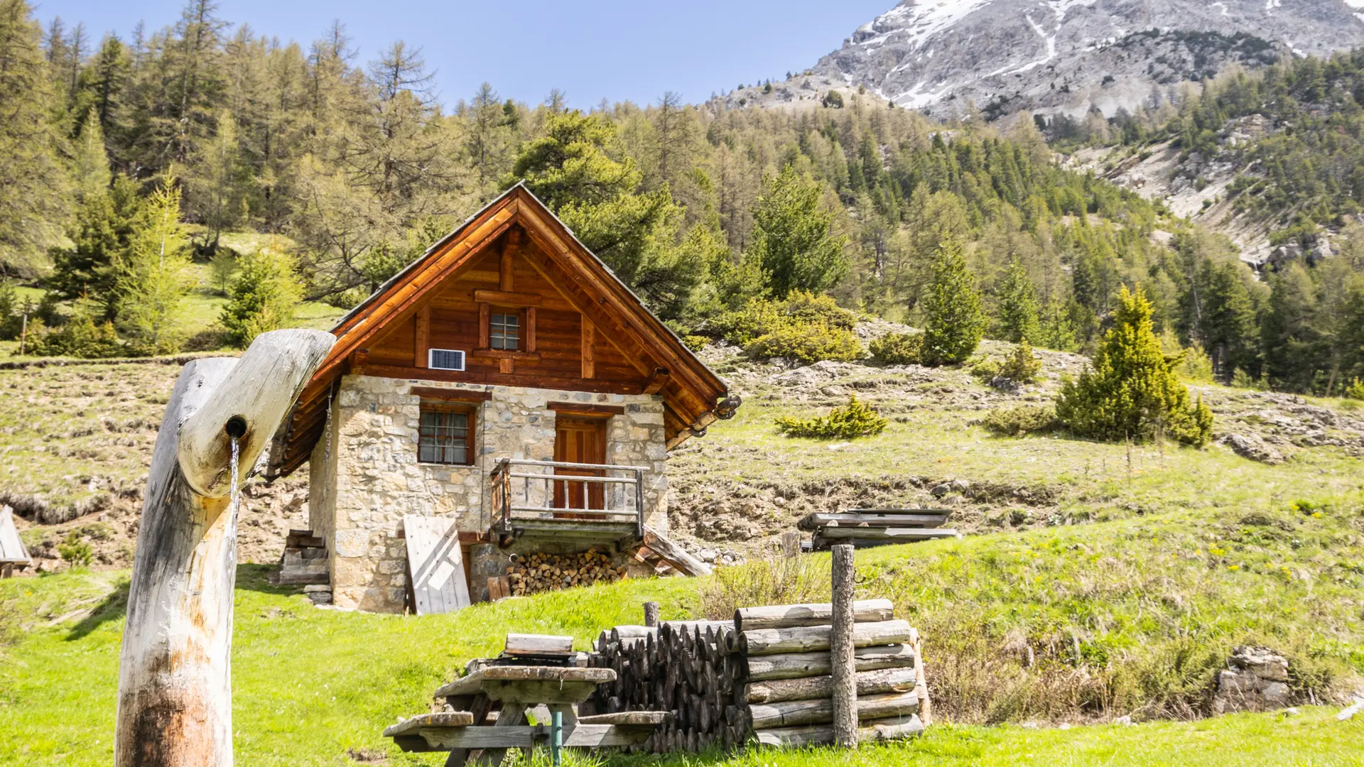
In front of the Auberge de la Cleida entrance, take the asphalt road on the right, which rises steeply to reach the heights of the hamlet of Plampinet.
At the end of this asphalt road, overlooking Saint Sébastien church, the road turns into a military track: continue along this track, which twists and turns above the torrent des Acles and below the imposing summit of the Guion.
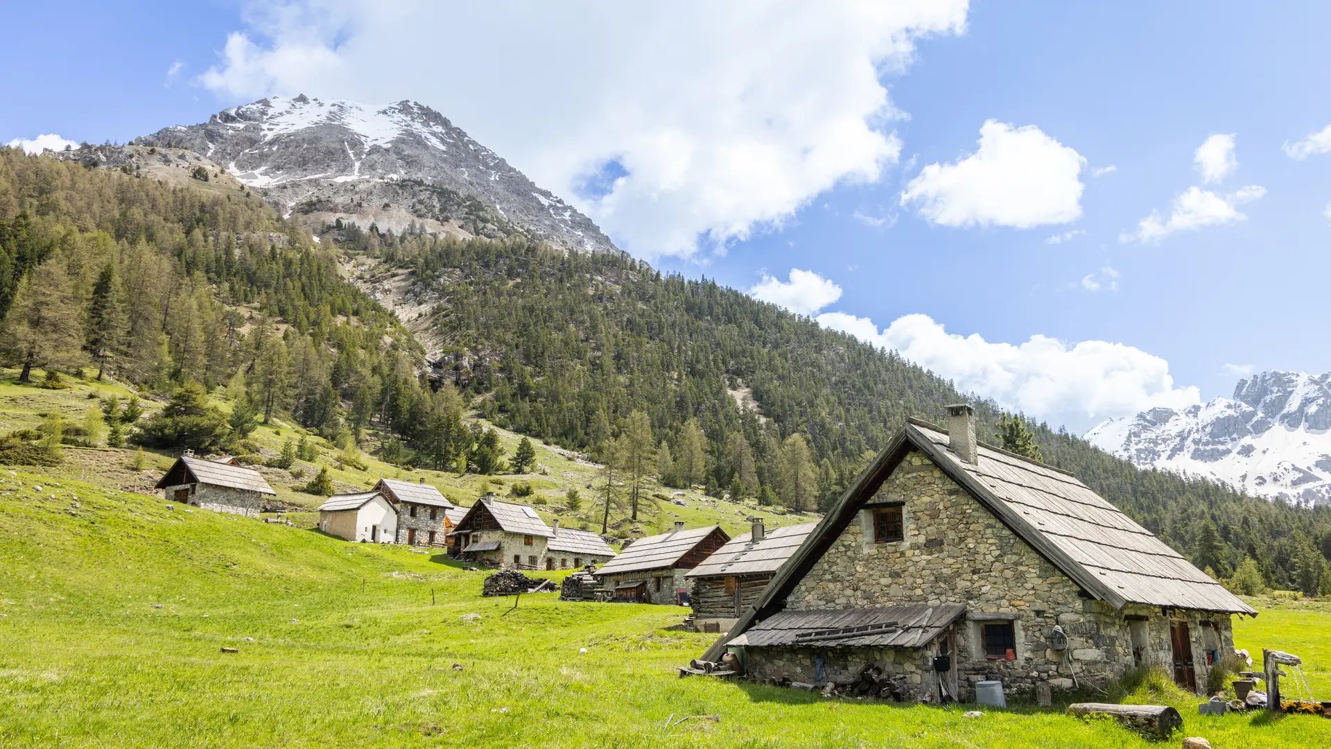
Once over the hairpin bends, the track reaches a first blockhouse on the edge of the ravine, continue for 1km, then leave the track and take the left-hand path towards the Col des Acles (the fork is well before the Chalets des Acles).
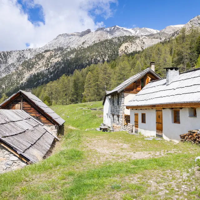
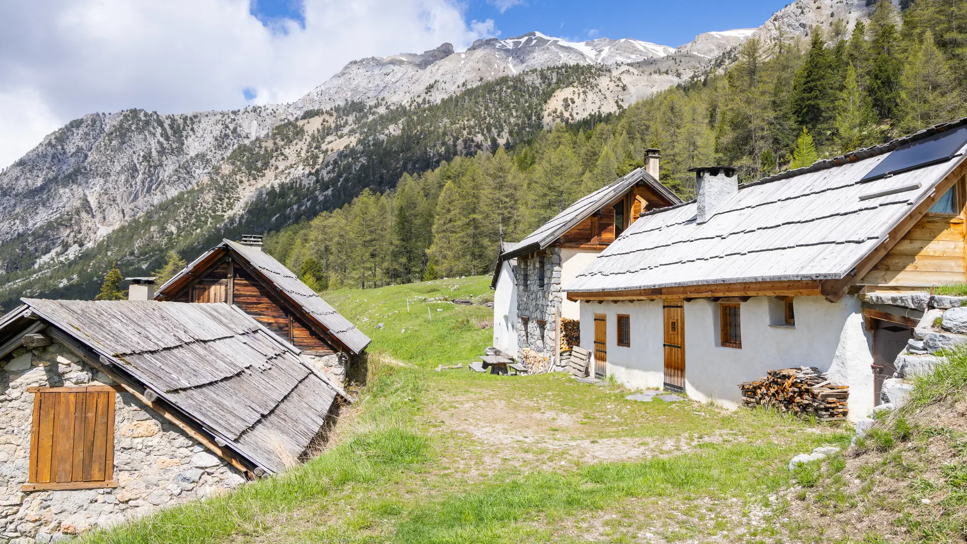
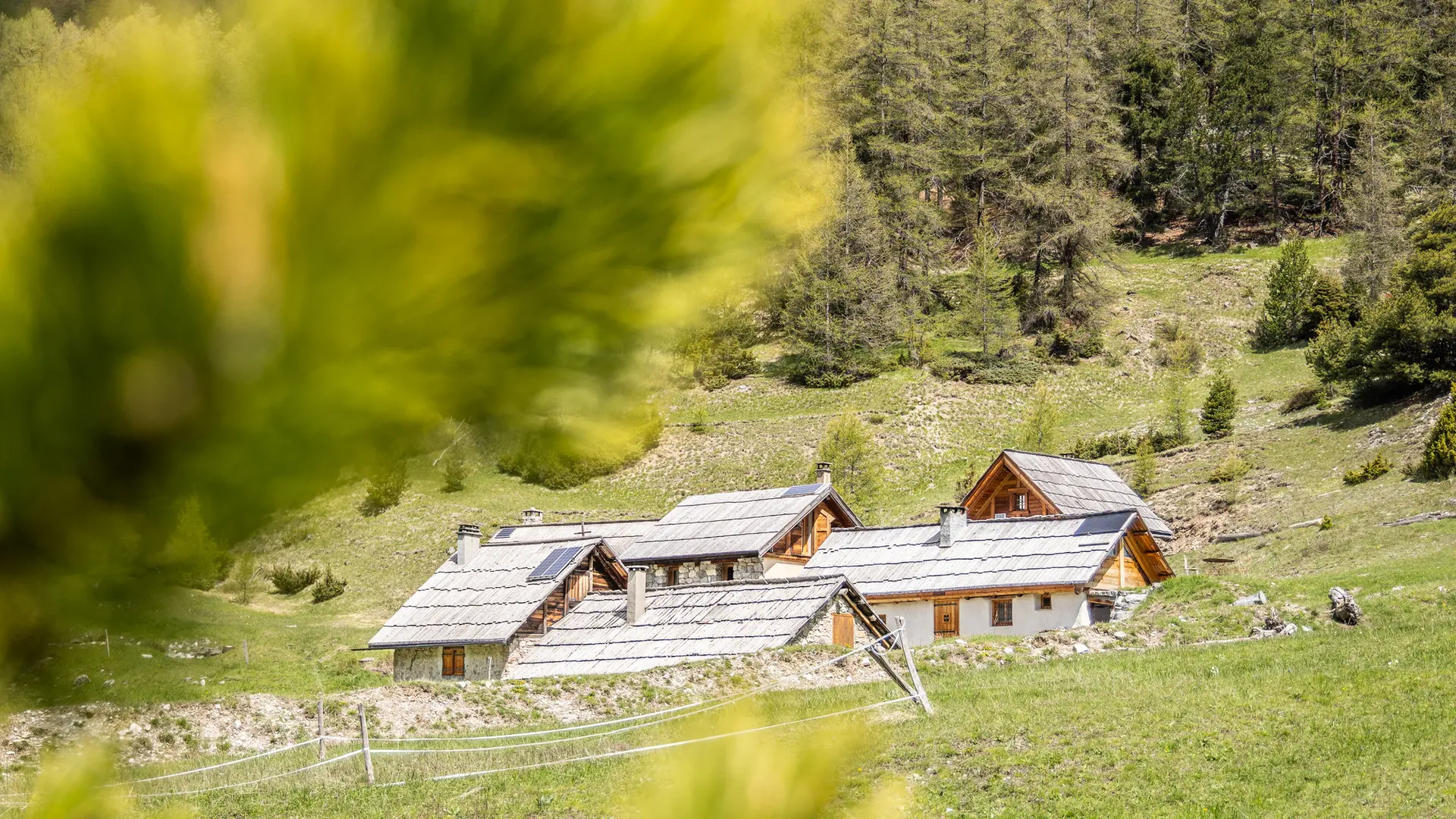
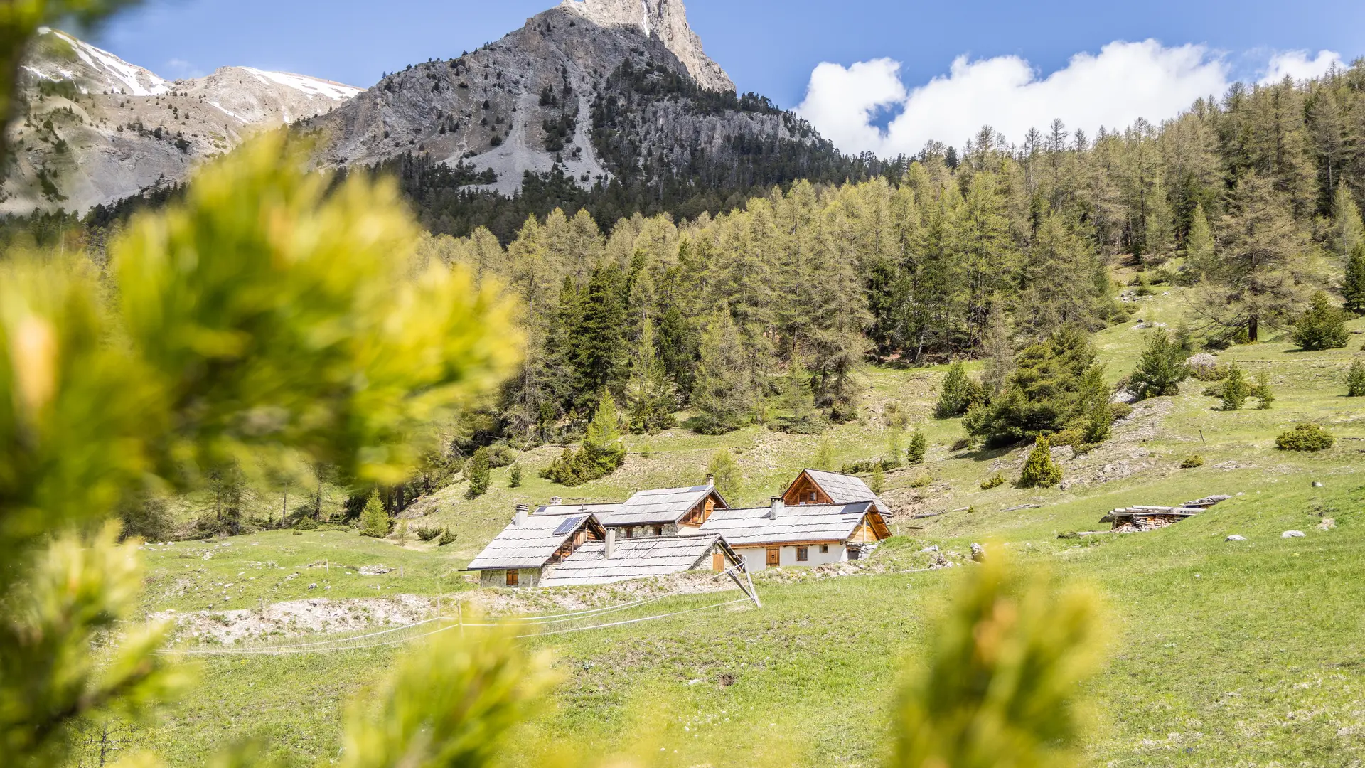
Option: return to the chalets before continuing on the climb to the pass.
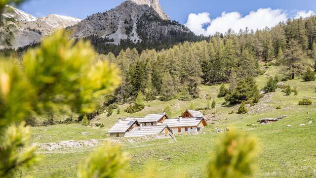
Continue up to the Ancien Poste Militaire des Acles to finally reach the Col des Acles.
return by the same route.
The alternative route to Les Acles via the Plateau des Écureuils is strongly advised against, as there are steep gullies in the scree below the Pointe de Pécé. Crossing these gullies and corridors is tricky and could put hikers or the uninitiated at risk.