With its 1,000-meter vertical drop and 4-hour ascent, this not-to-be-missed itinerary of the GRP Tour du Mont Thabor crosses high-altitude torrents, flower-filled meadows and mineral landscapes. Long and demanding, it is no less splendid.
From Névache, pass the last houses in the hamlet of Ville-Haute, cross the torrent du Vallon, and take a path to the right of the road, marked by the signs "Lac Noir, Long et Blanc du Vallon, Col du Vallon". This well-marked path rises steeply.
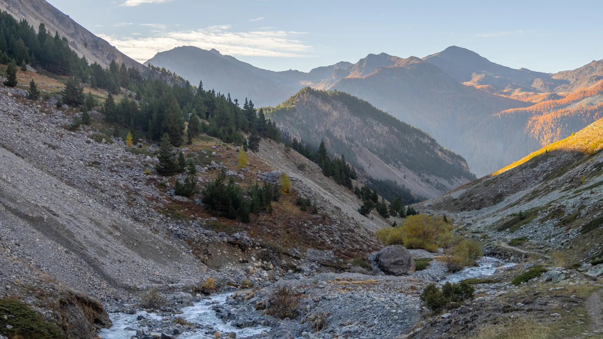
This is the only path that crosses the valley from the start to the pass, for just under 8 km. An essential route on the GRP Tour du Mont Thabor, it rises steadily along the torrent, between the mineral slopes of this narrow Vallon.
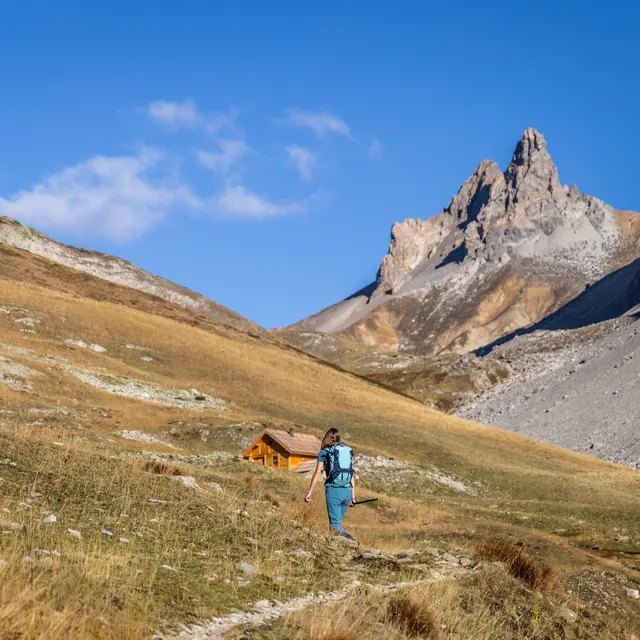
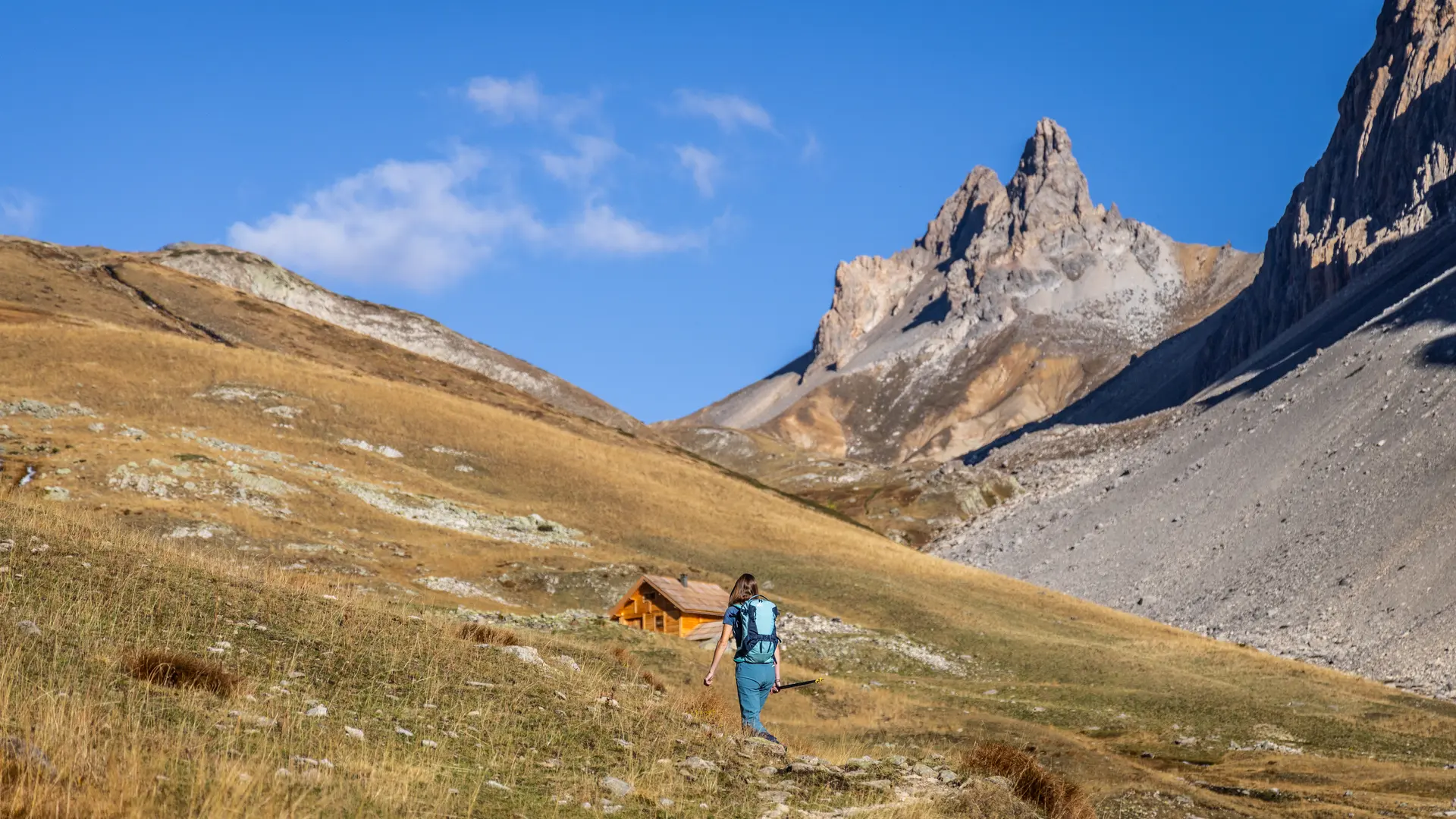
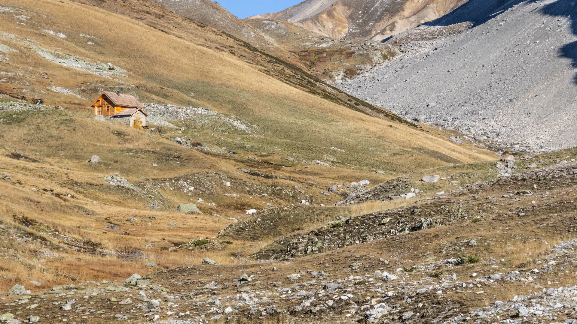
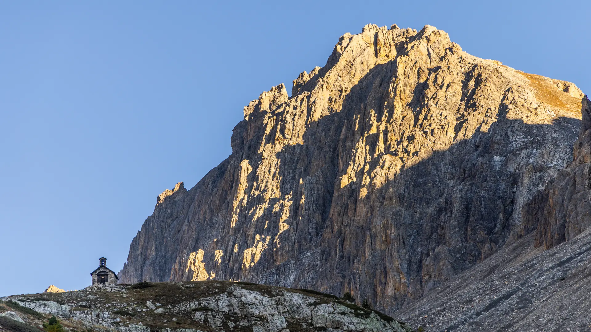
The first section rises steeply through the woods below the Crête de la Pépio, before levelling out briefly below the Creux des Souches and the Chalets du Serre. The route then gradually rises to reach the Chapelle Saint Michel, then the sheepfold a little further on.
Progress is steady and the trail crosses the many small streams of the Black, Long and White lakes, which overhang the path (these routes to the lakes are not signposted).
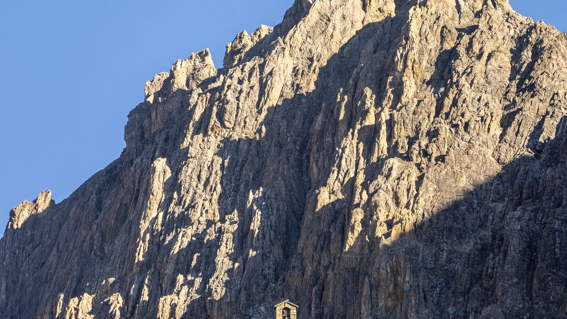
The route soon becomes very mineral, under the impressive Rochers de la Paria, before finally reaching the Col du Vallon, from where a magnificent view of the Grand Séru, Mont Thabor and the Vallée Étroite unfolds.
The return journey takes the same route.
Pets welcome In the Clarée, dogs must be kept on a leash on all trails, for reasons of wildlife protection, but also to ensure cohabitation with herd protection dogs.