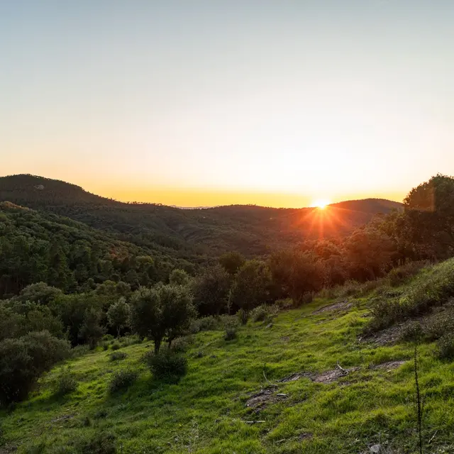
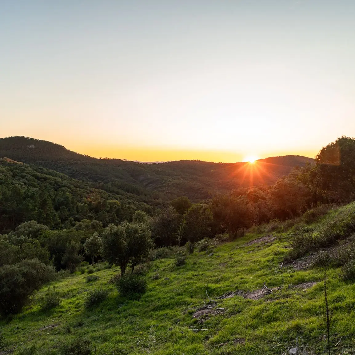
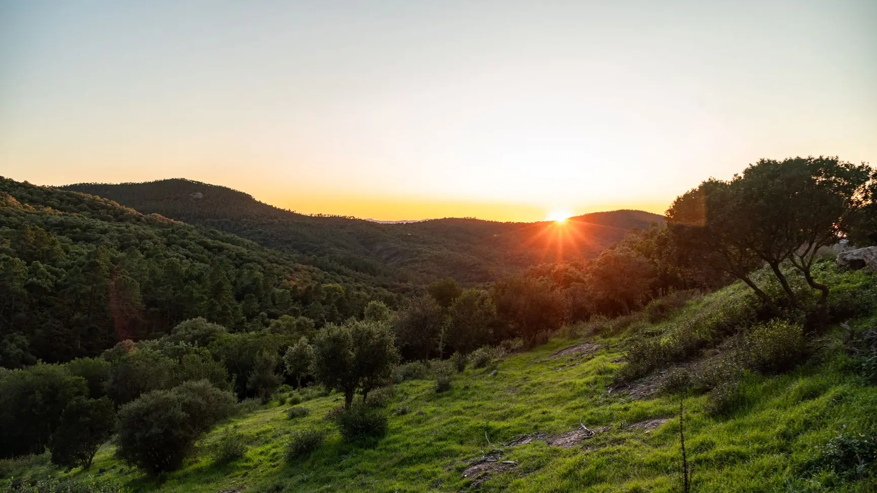
This itinerary will take you exploring the Var hinterland and some of the region's typical little villages. Stop off to visit them one by one and get a feel for the local culture.
> ACCESS
Take the destination of the Old Port of Saint-Raphaël. Park in the streets and car parks of Saint-Raphaël.
> STARTING POINT
GPS coordinates :43.423132, 6.766178
99 Quai Albert 1er, near the Old Port of Saint-Raphaël
> ITINERARY
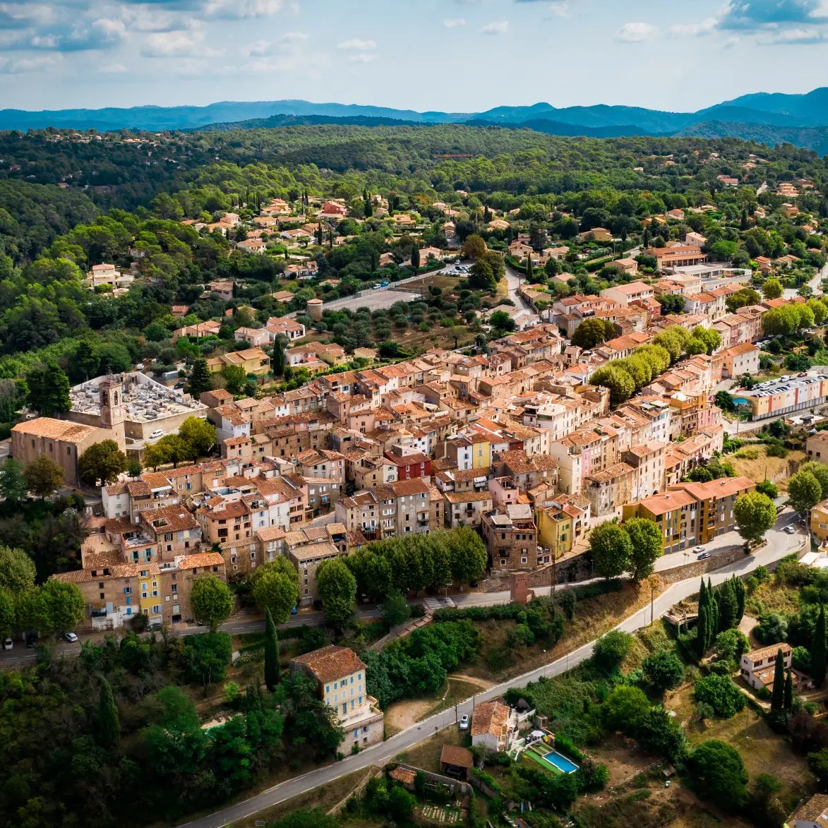
Saint-Raphaël, direction Fréjus. Take the D8 which will take you to Roquebrune-sur-Argens, on leaving the village take between the Saint-Roch chapel and the Argens bridge on the left to walk along the Roquebrune rock to Le Muy.
Follow the direction Domaine de Saint-Andréol, then road to Bagnols-en-Forêt, 5 km after the village, turn right on the D56 until the Tire Boeuf crossroads, then take the D562 until the Lac de Saint- intersection Cassian.
Climb the terrible Adrets hill (the hardest part is done) all you have to do is reach your starting point via Fréjus.
Tips
- The rock of Roquebrune
- The lake of St Cassien
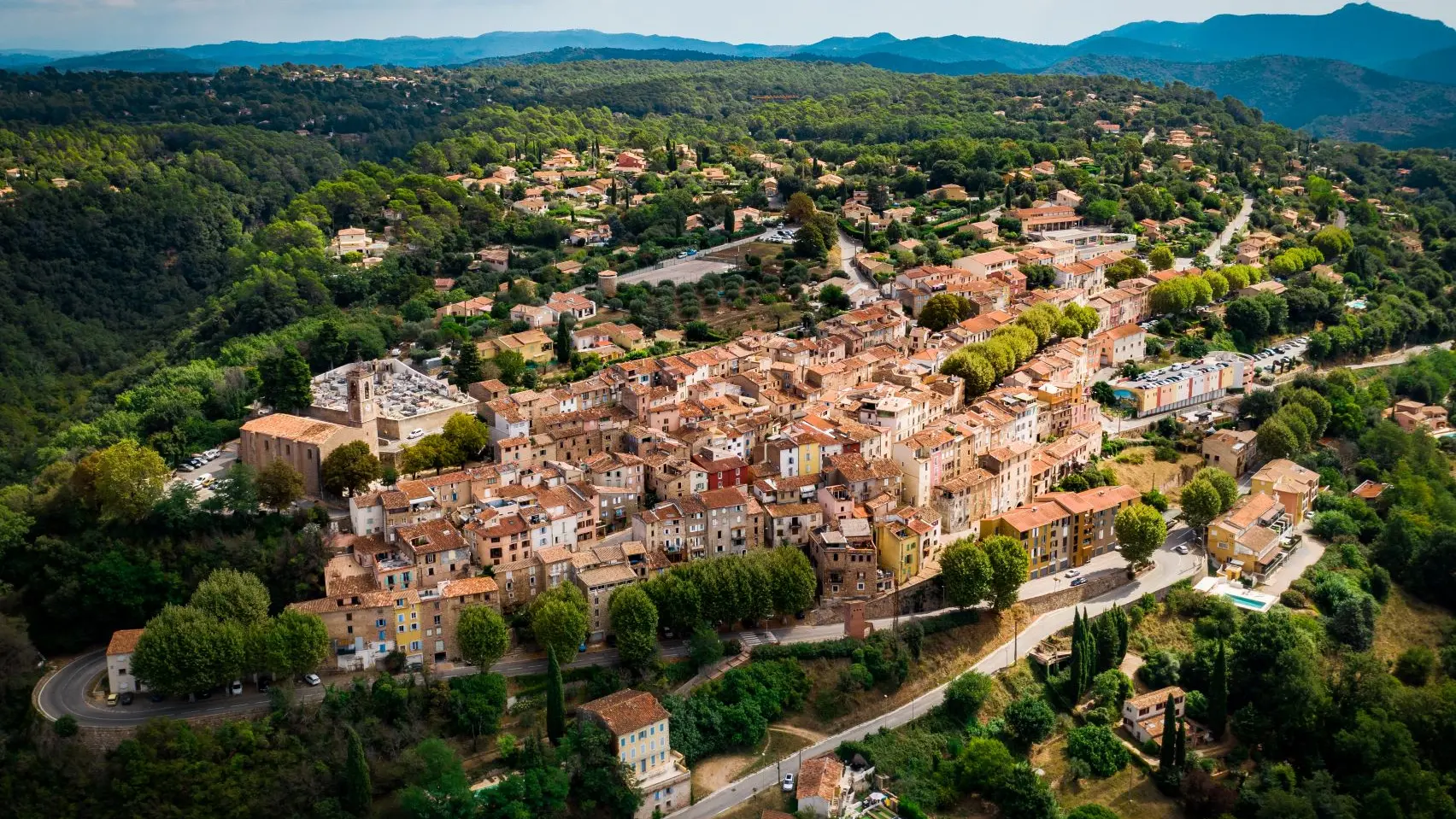
- Discovery of the hinterland: village of Bagnols-en Forêt and plain of Fayence with view of Callian and Montauroux