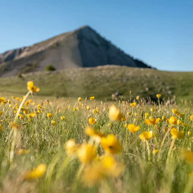
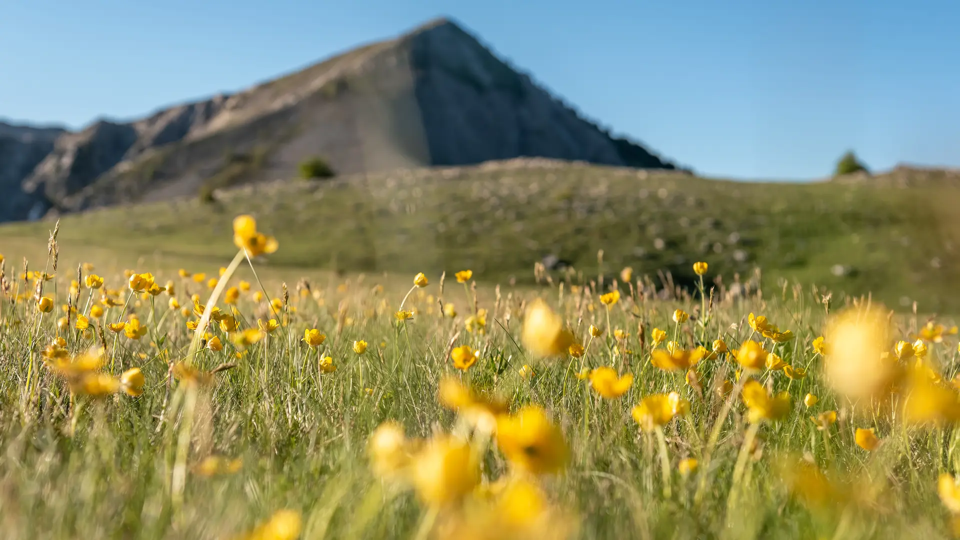
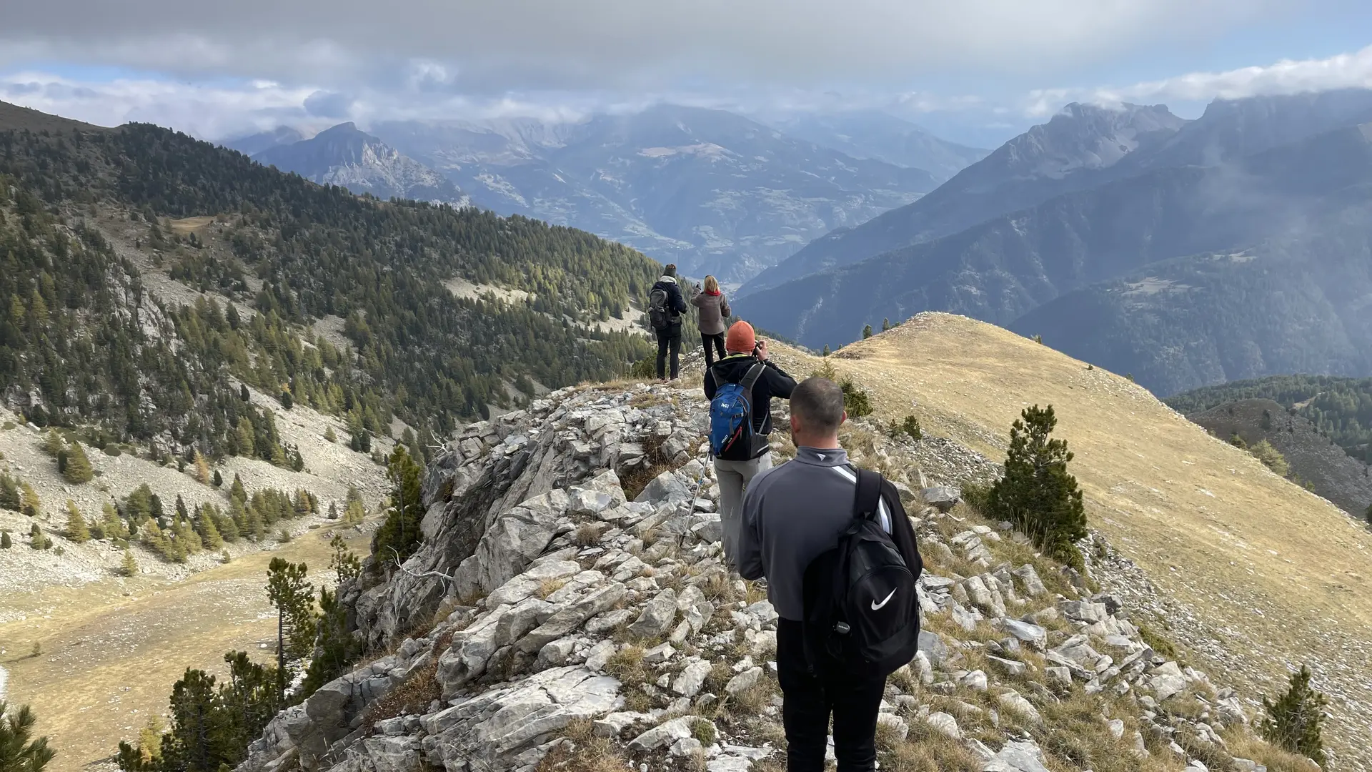
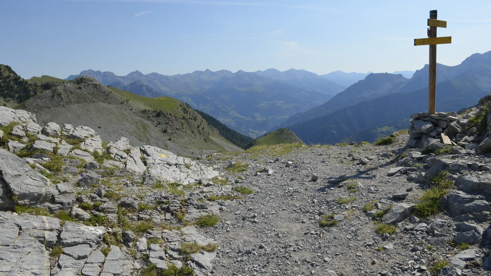
This is the longest and most difficult stage of the GR®69 La Routo route, but it is also the most beautiful. To shorten the route, a departure is possible from the Maison forestière de Bellevue. Beware of the risk of snow until June.
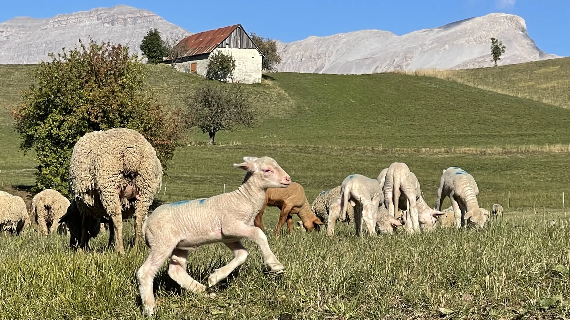
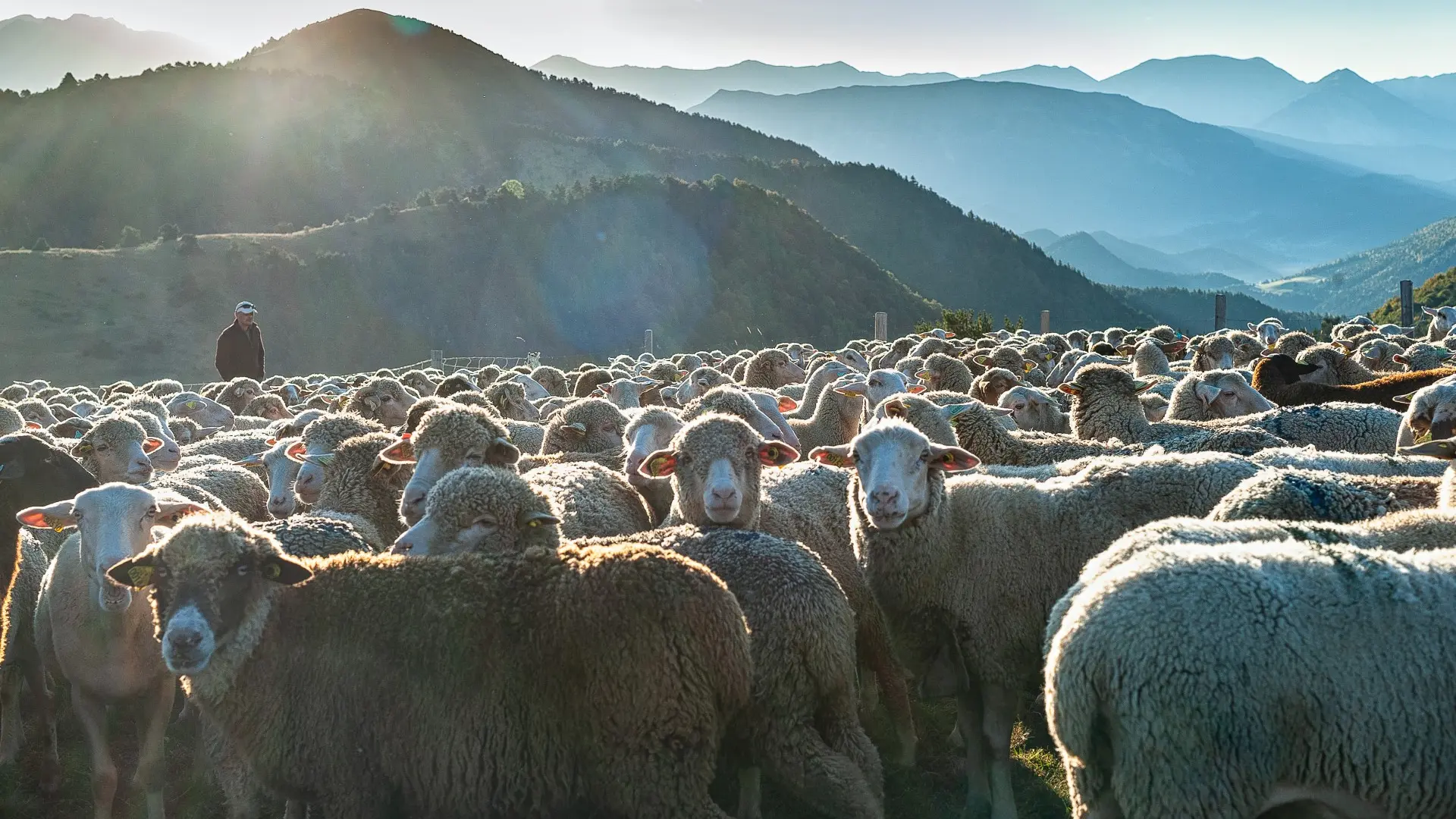
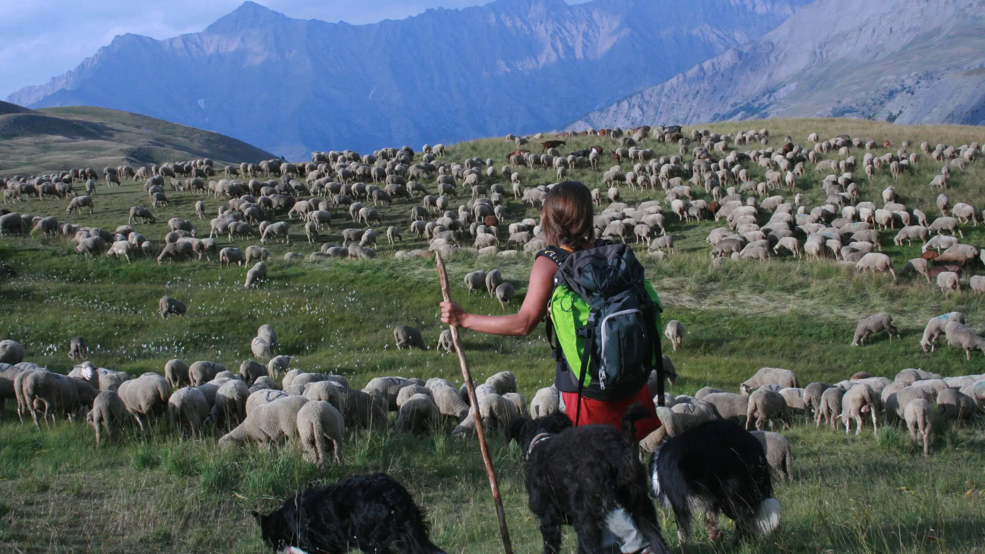
The GR®69 La Routo® is a 520 km hiking route that follows the old transhumance drailles, between the Crau plain in Arles and the Stura valley in the Italian Piedmont, 15 stages or 252 km are in the Alpes de Haute-Provence. Through these stages La Routo® allows the discovery of the most emblematic and diverse landscapes of Provence in the Alps, the route joins the Alpes de Haute-Provence by Gréoux-les-Bains, the Valensole plateau, Digne-les-Bains, Seyne-les-Alpes and Barcelonnette to pass by the Larche pass, and continue in Italy to Cuneo, in the Stura Valley.
GR®69 La Routo® From Provence to the Alps via the drailles, €16 on sale in tourist offices