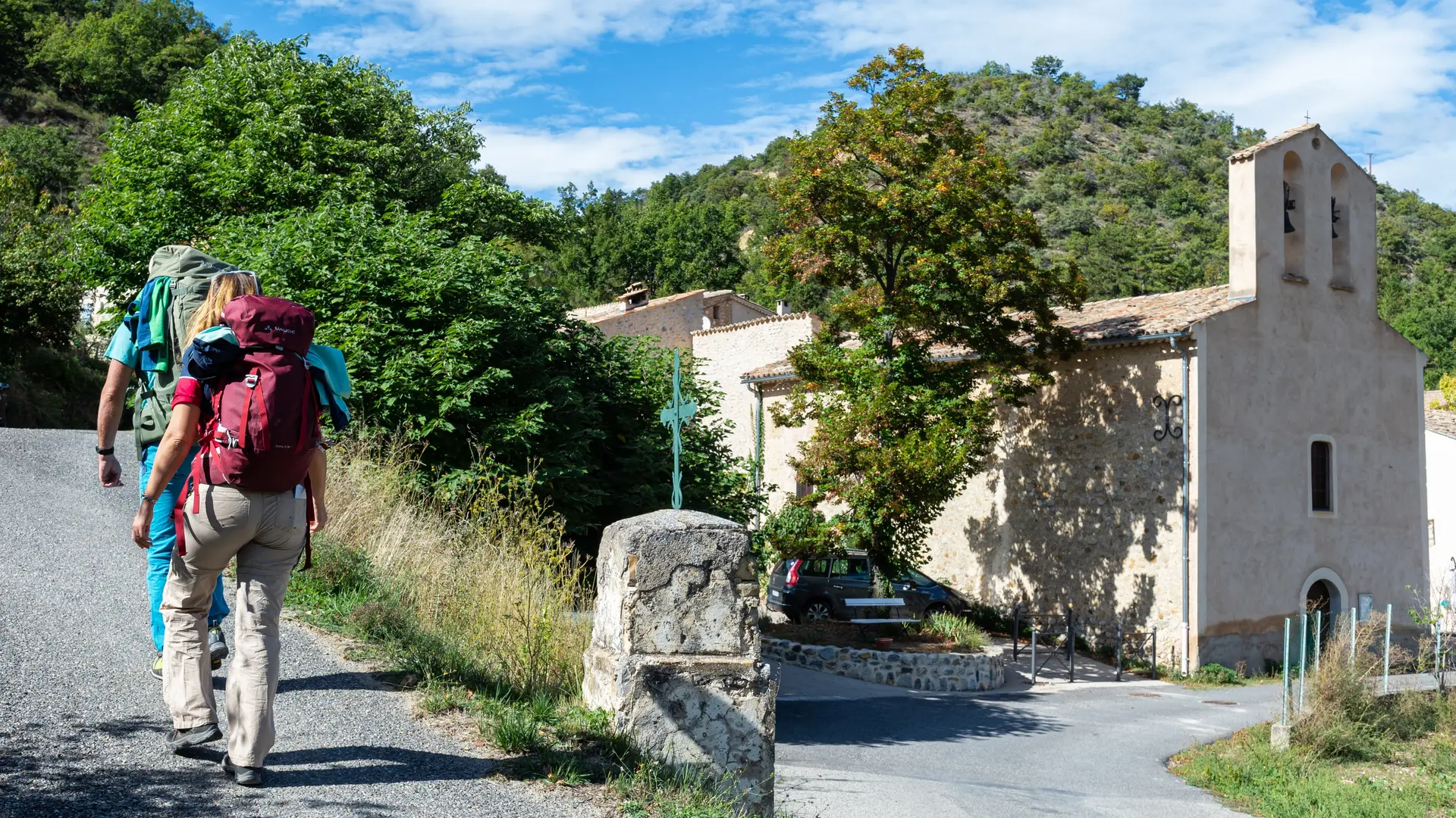
The GR®69 La Routo® is a 520 km hiking route that follows the old transhumance drailles, between the Crau plain in Arles and the Stura valley in the Italian Piedmont, 15 stages or 252 km are in the Alpes de Haute-Provence.
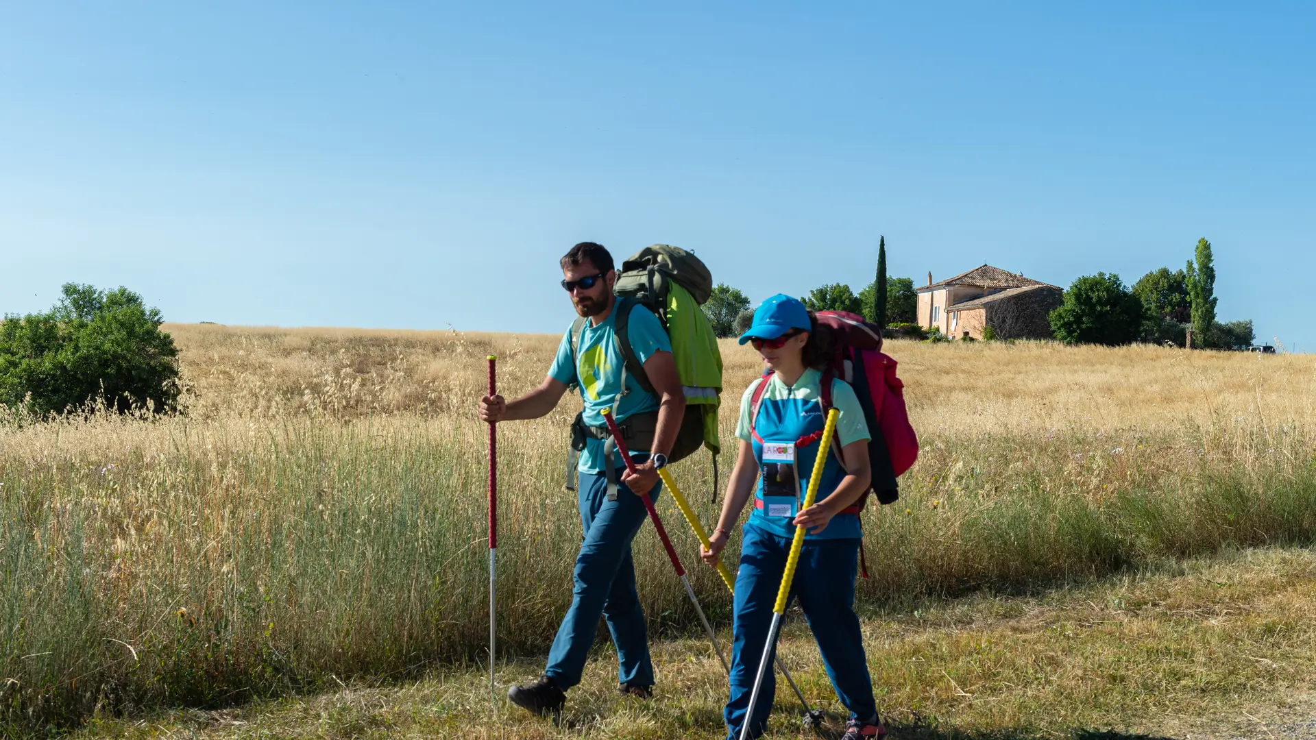
Through these stages La Routo® allows the discovery of the most emblematic and diverse landscapes of Provence in the Alps, the route joins the Alpes de Haute-Provence by Gréoux-les-Bains, the Valensole plateau, Digne-les-Bains, Seyne-les-Alpes and Barcelonnette to pass by the Larche pass, and continue in Italy to Cuneo, in the Stura Valley.
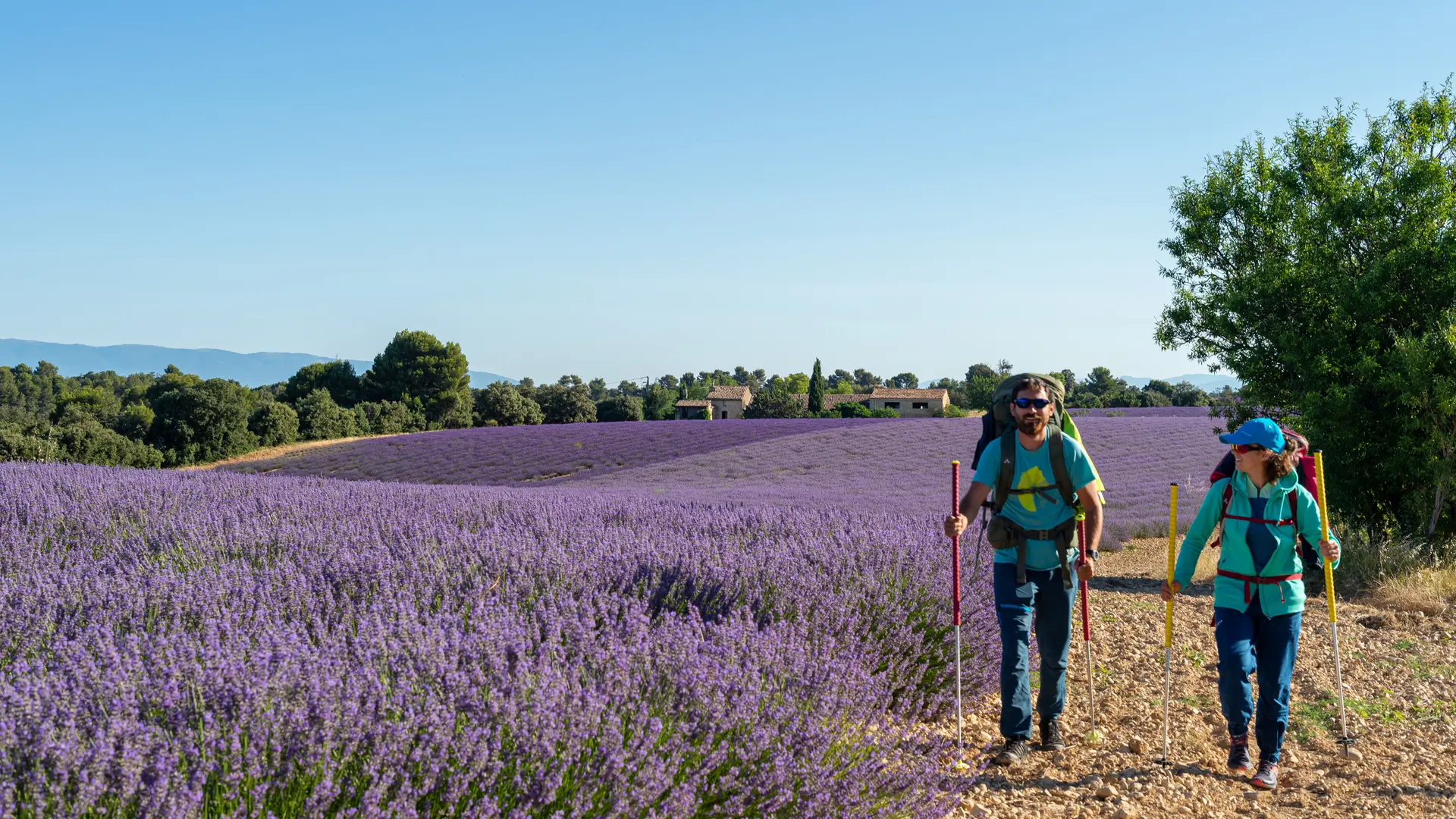
GR®69 La Routo® From Provence to the Alps via the drailles, €18 on sale in tourist officesStage Saint-Jurs - Bras d'Asse (12 km - 40m D+): This stage will offer you a unique view of a large part of the department. This last stage in the Verdon Regional Natural Park will take you through lavender fields as well as beautiful pine and oak forests.
Stage Bras d'Asse - Le Chaffaut (20 km - 608m D+): This stage allows you to reach the Bléone valley via the abandoned hamlet of Lagremuse perched on its rock, and offering a beautiful panoramic view, discovery of large olive trees which bear witness to an important agricultural past.
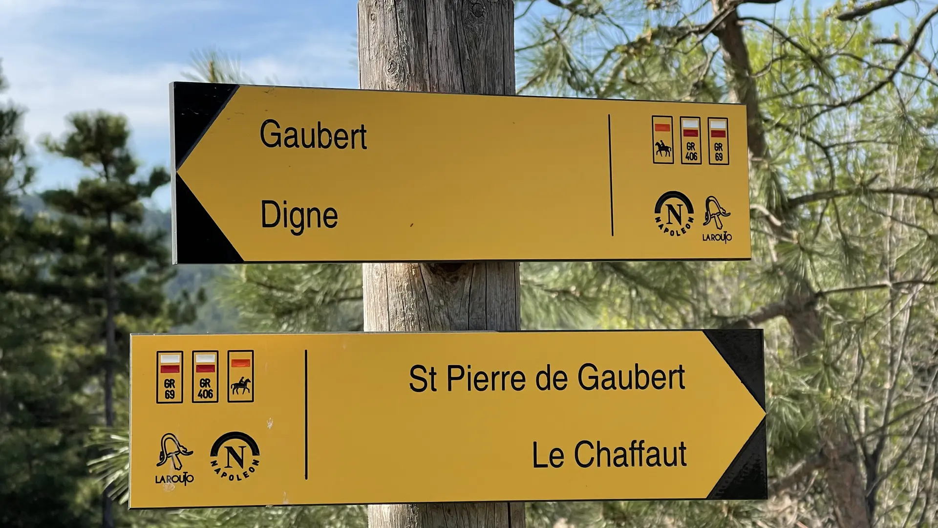
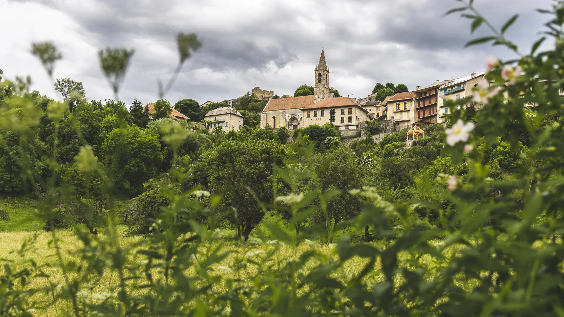
Stage Le Chaffaut - Digne-les-Bains (11,5 km - 190m D+): An easy and hilly stage which will allow you to discover the charming golf course of Digne-les-Bains passing through the pretty village of Gaubert which dominates the surrounding countryside. Then head towards the city center of Digne-les-Bains.
Étape Digne-les-Bains - La Javie (20,5 km - 430m D+): This stage begins in the town centre of Digne-les-Bains and allows you to reach wild landscapes. In the second part of the route you will cross a refreshing forest before finishing the stage in the village of La Javie.
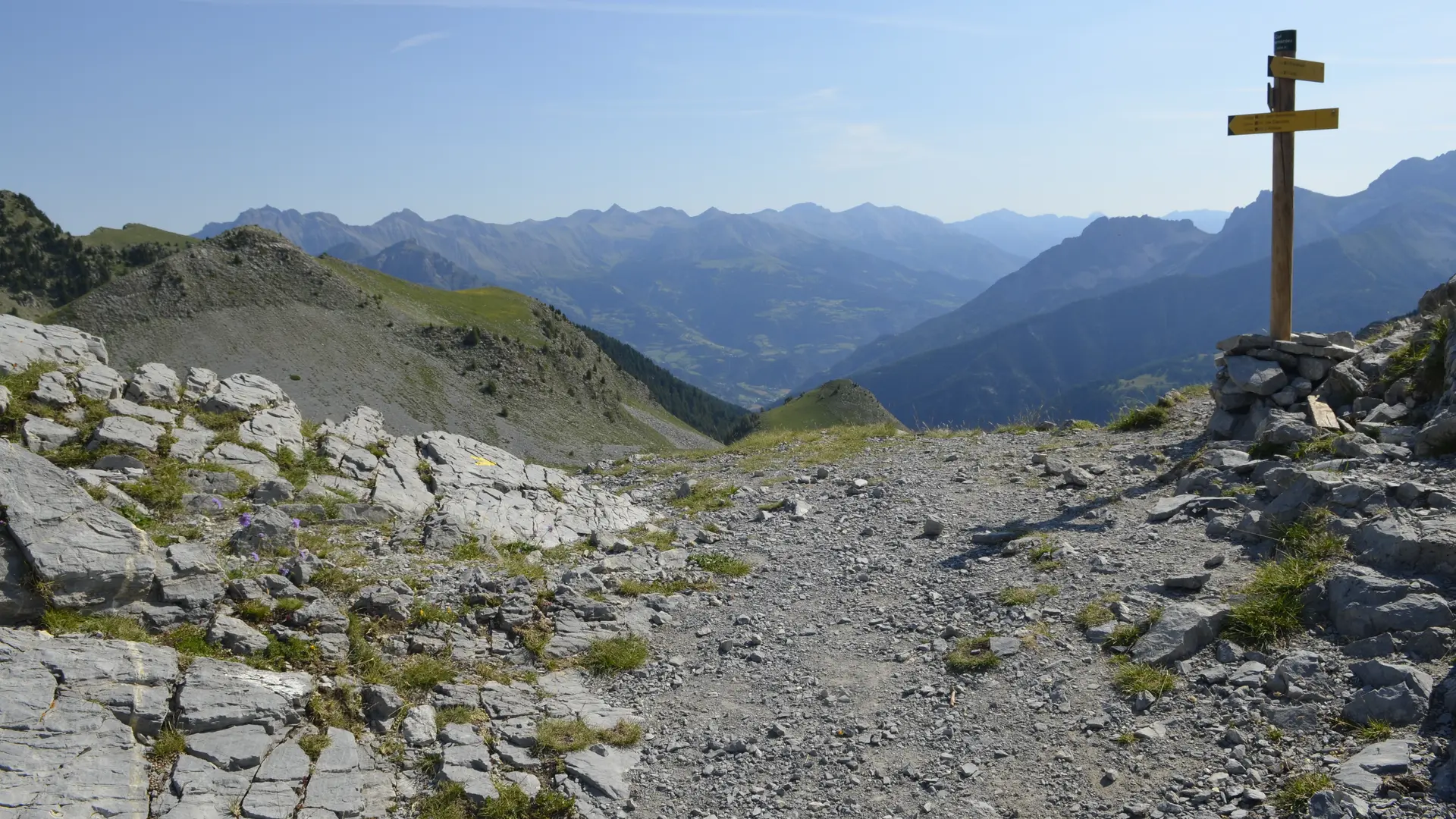
Étape La Javie - Le Vernet (19 km - 840m D+): the route rises here towards the Col de Boullard in the heart of a green plateau and a sumptuous forest. The mountains are getting higher and higher, this stage will mark your entry into the Vallée de la Blanche.
Stage Le Vernet - Seyne (14,5 km - 400m D+): The GR®69 enters here in its alpine part, with the crossing of the Blanche valley, the route is in the middle of the forest from the beginning to the end of the stage in Seyne. It is a very pleasant route, refreshing and always green.
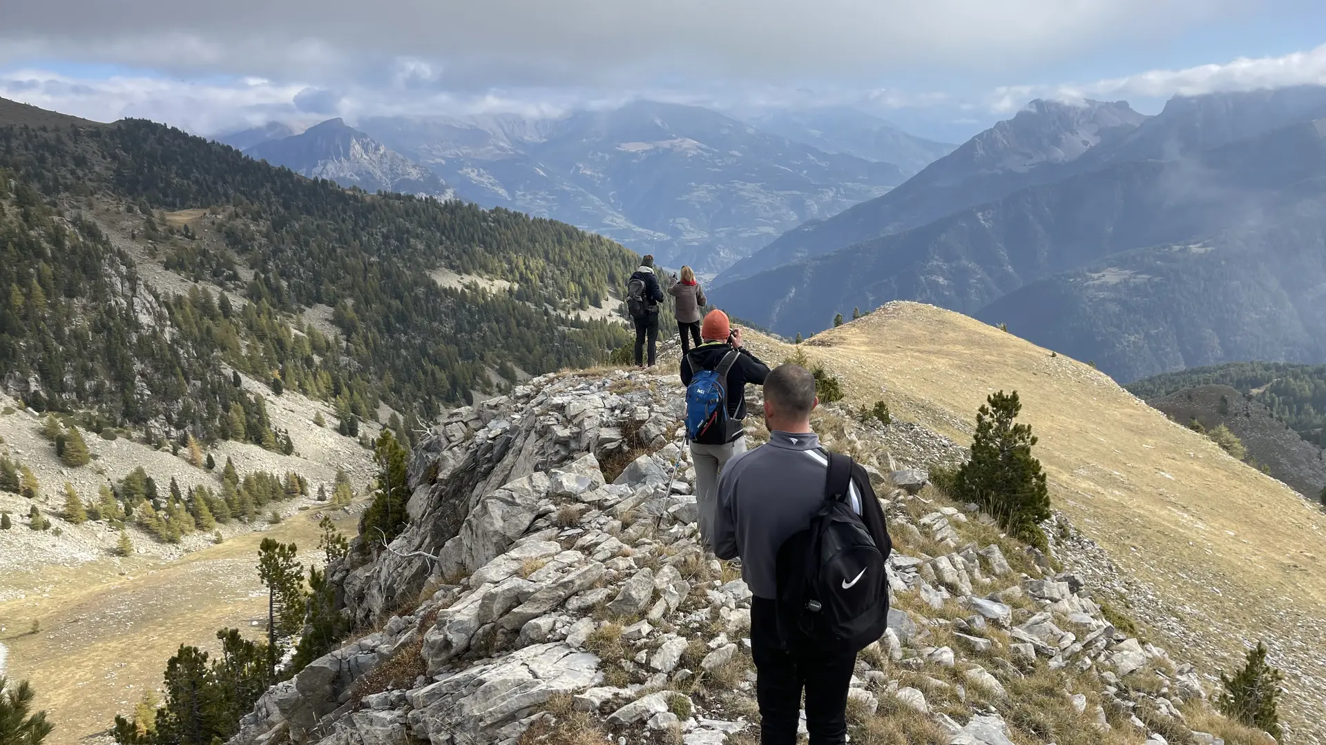
Stage Seyne - Le Laverq (21 km - 1360m D+): This is the longest and most difficult stage of La Routo route, but it is also the most beautiful. To shorten the route, a departure is possible from the Maison forestière de Bellevue. Beware of the risk of snow until June.