See photos (2)
La Mole Valley discovery trail
Sport, Pedestrian sports, Hiking itinerary
in Cogolin
6.0
km
-
Traditional activities in the Môle Valley.
-
Start: Pass the access to the Terrain des Aubrettes and take the 1st path on the right.
Distance: 6 km (round trip)
Level: easy
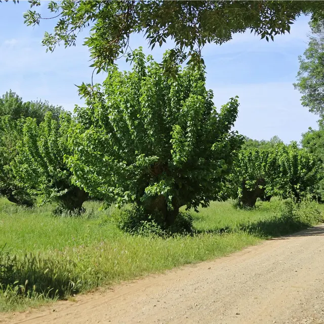
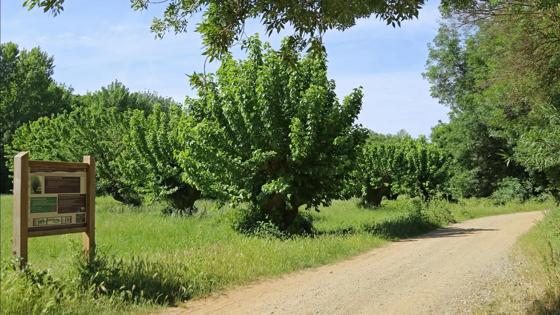
Along a track easily accessible to cyclists and pedestrians (motorized vehicles prohibited), 5 signposts will guide you and lead you to discover the cork oak, mulberry, pastoralism, cane and heather that have been exploited and cultivated by man in the valley.
- Departure
- Cogolin
-
-
Difference in height
- 51 m
-
-
-
Plain text period
- All year round.
-
-
-
Spoken languages
-
-
-
Documentation
- GPX / KML files allow you to export the trail of your hike to your GPS (or other navigation tool)
-
- See all reviews
- 51 meters of difference in height
-
- Maximum altitude : 28 m
- Minimum altitude : 8 m
- Total positive elevation : 51 m
- Total negative elevation : -51 m
- Max positive elevation : 14 m
- Min positive elevation : -14 m