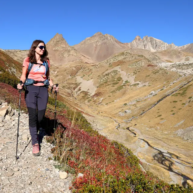
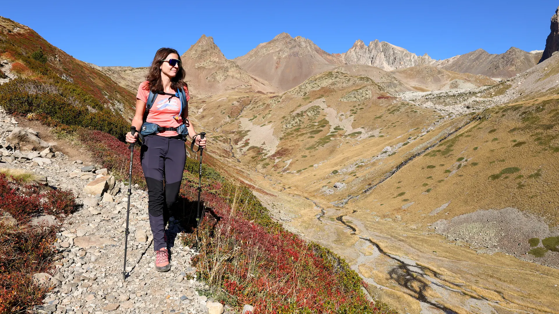
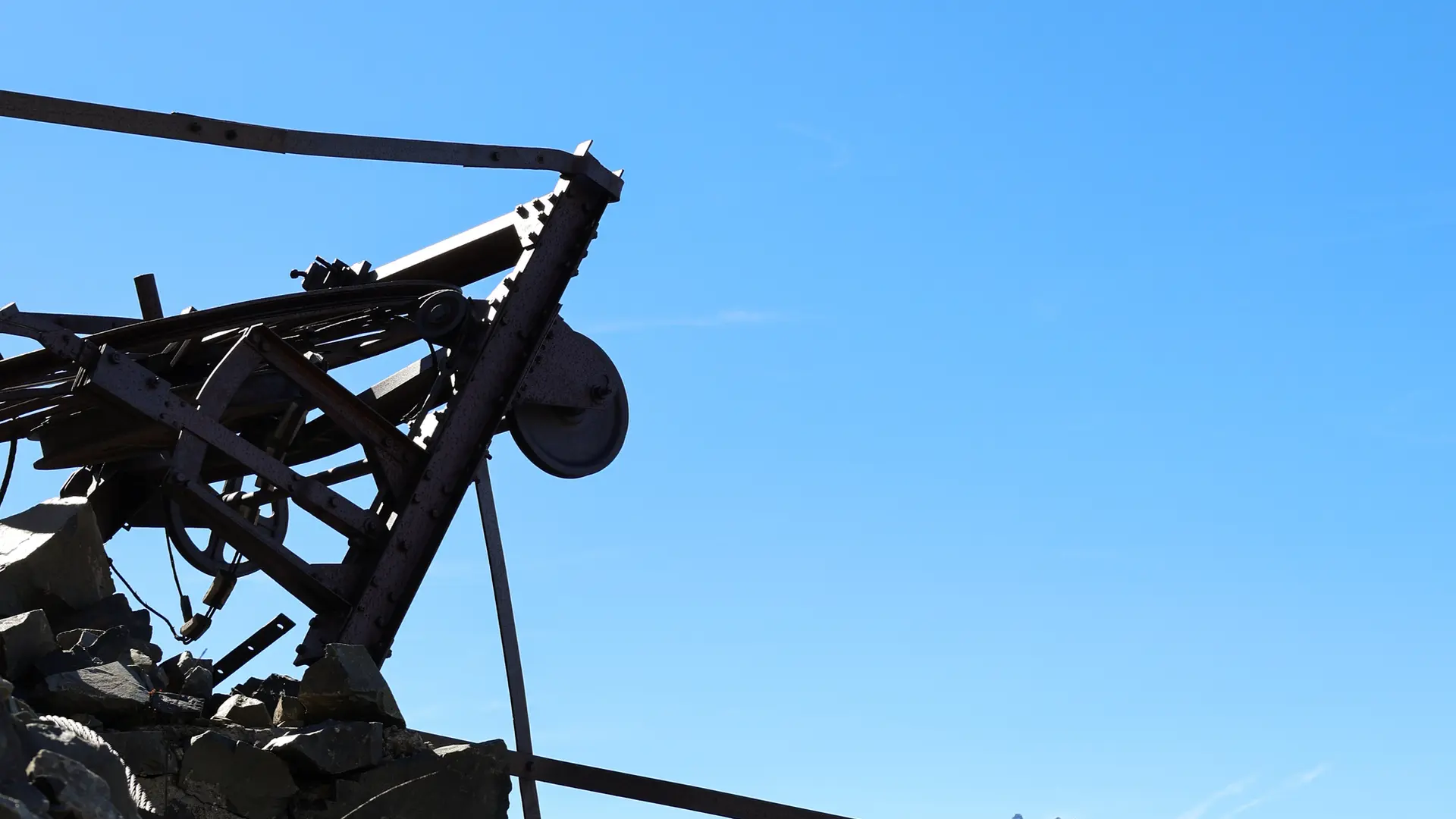
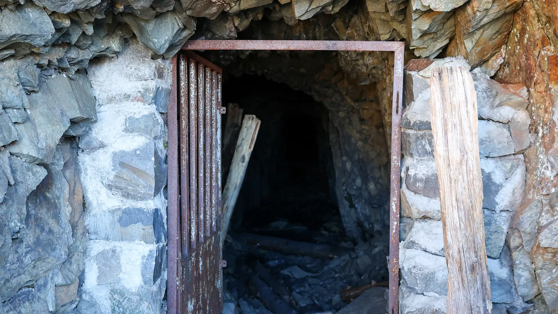
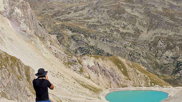
Situated just below the Col du Chardonnet, this small lake takes its name from the old graphite mines, the remains of which can still be seen in the surrounding area. A hike that will take you through the magnificent Chardonnet valley.
Park at the Fontcouverte parking lot, opposite the campsite of the same name.
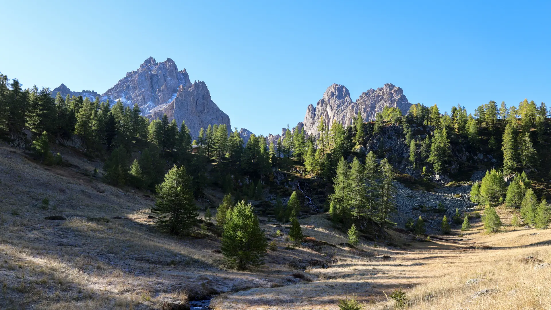
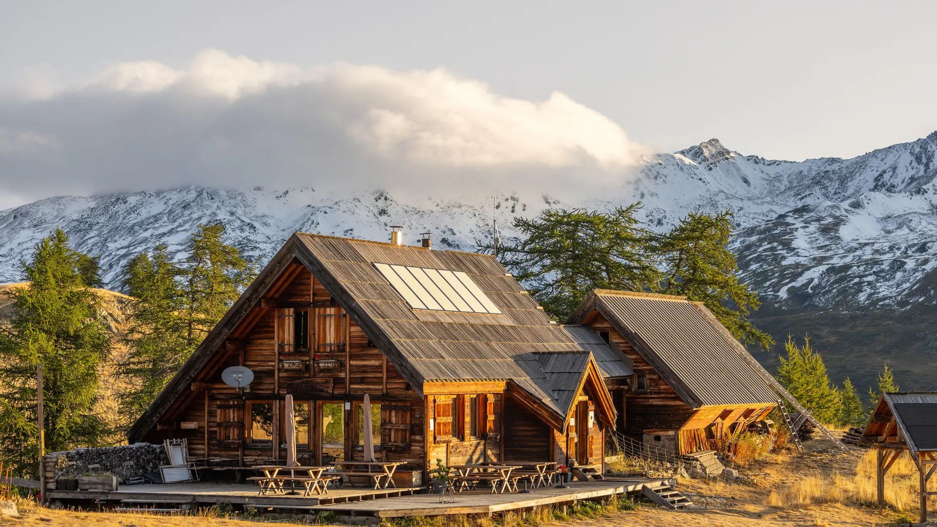
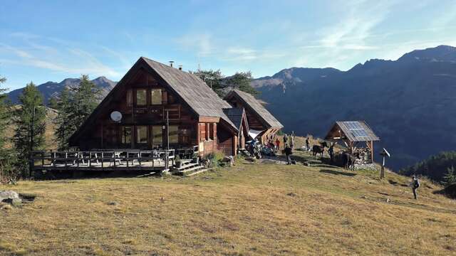
Enter the campsite and take the footpath on the left, signposted Refuge du Chardonnet. The path, which is a GR (long-distance footpath), winds through a larch forest to reach the Laraux chalets, which continue to the right and take you to the Chardonnet refuge.
From the refuge, continue to the torrent de Raisin, (once you've reached the torrent, you have two options: by going left, you can reach the Col du Raisin, at an altitude almost similar to that of the Col du Chardonnet).
Cross a small bridge to take the GR 57 (red and white markings). The path leads into a combe, which you climb up to reach a flat area.
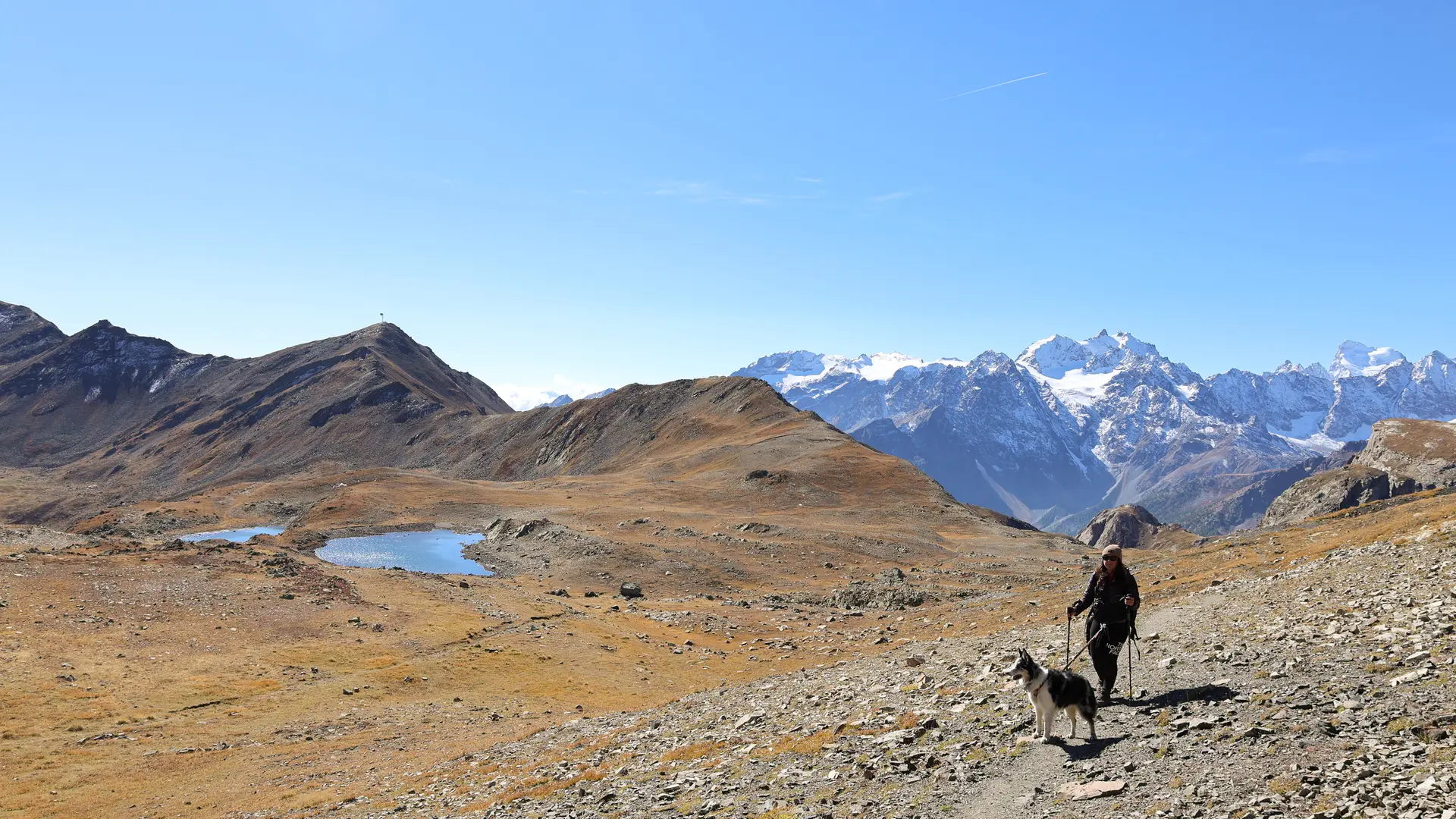
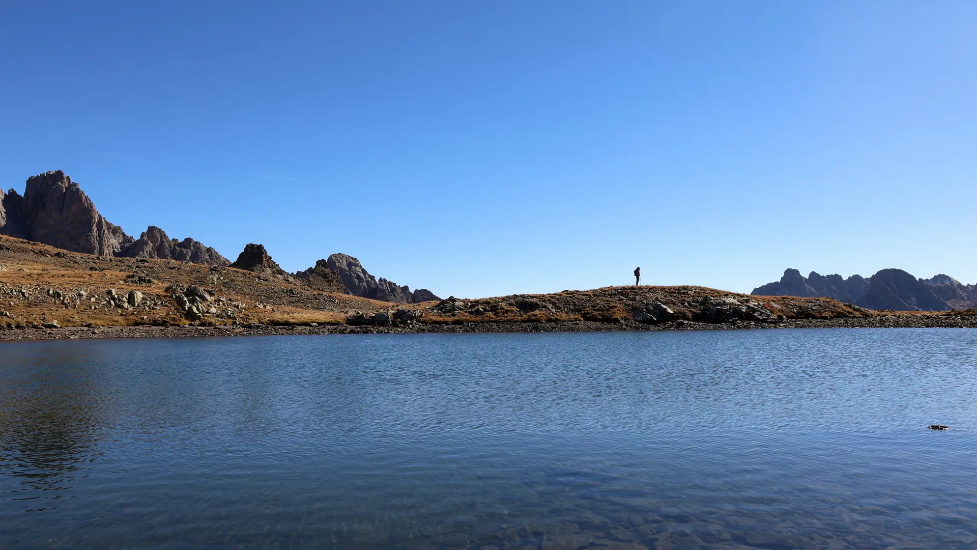
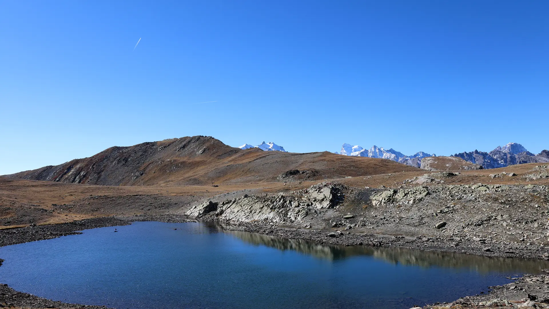
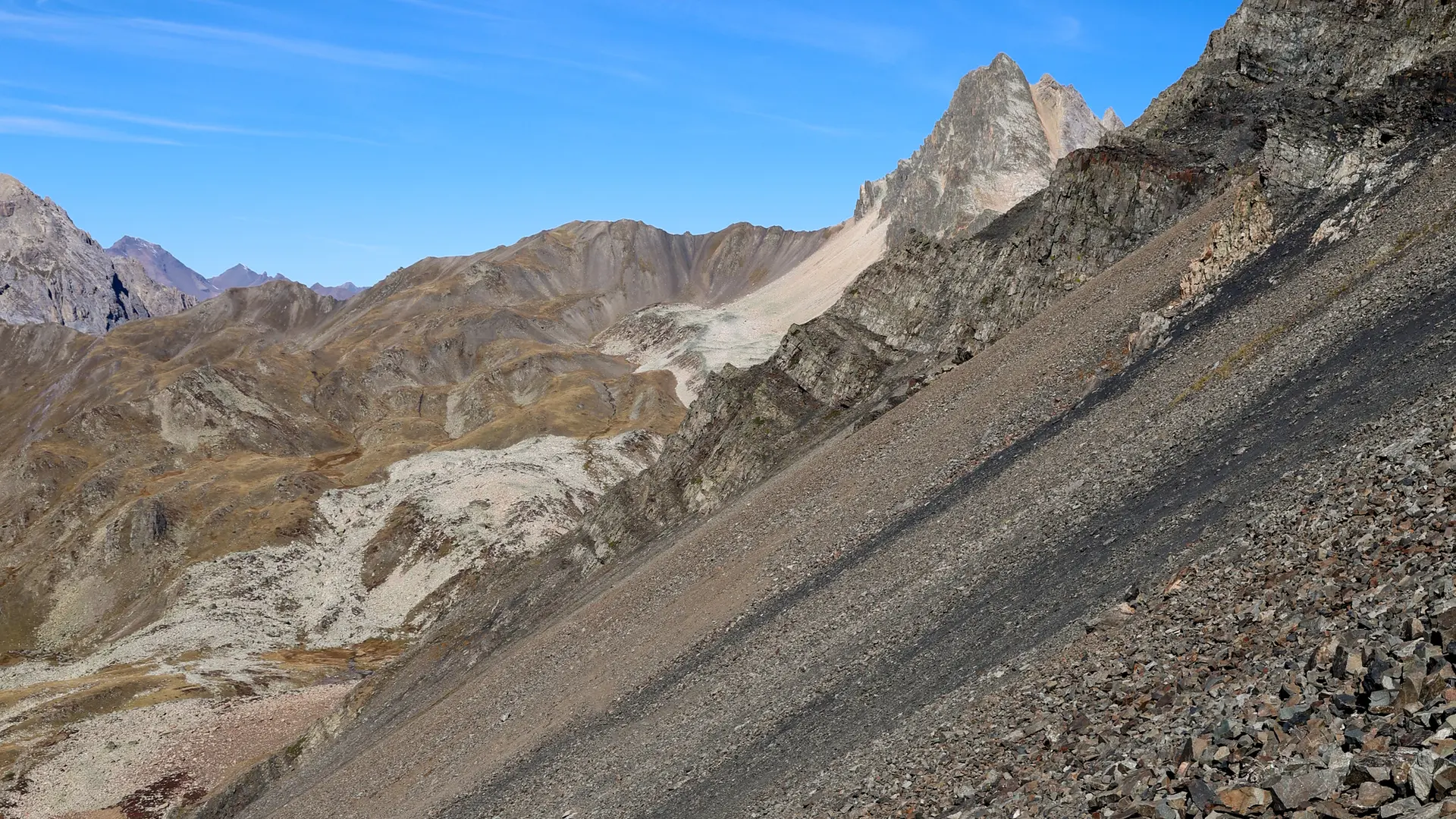
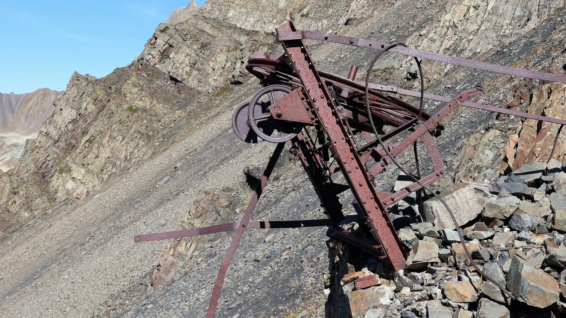
The path leads to the magnificent Chardonnet alpine marsh. You'll find the remains of power poles that will lead you to the Col du Chardonnet via the GR 57. 200 meters before the pass, the Lac de la Mine can be seen below. Continue up to the pass, then just before you reach it, turn right onto the narrow path overlooking Lac de la Mine, which leads to the remains of the old Chardonnet mines.
Please note: The old Chardonnet mines are not secure. Do not enter the site.