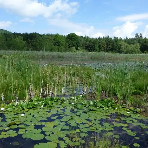
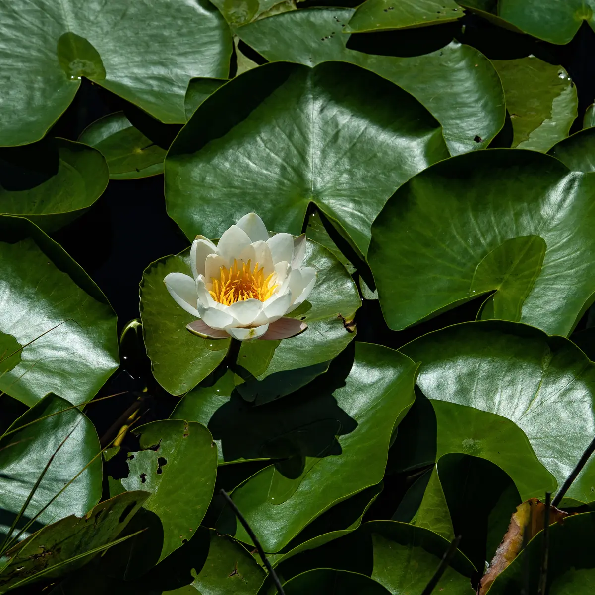
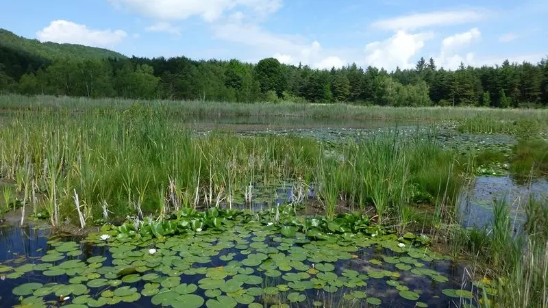
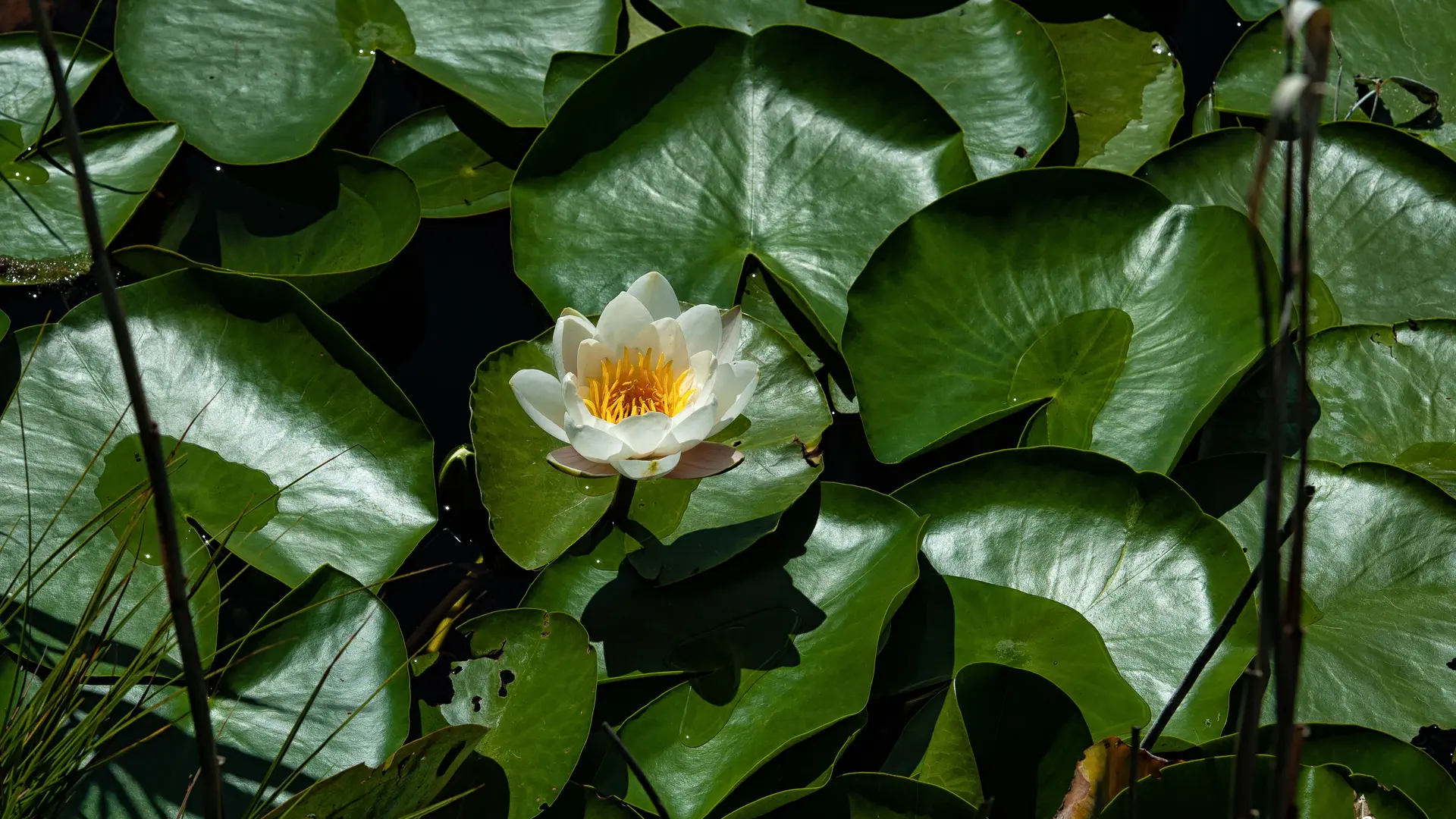
A walk in the heart of nature which will allow you to discover the history, ecology, and geology, the Saint-Léger bog lake is classified as a Natura 2000 special conservation area.
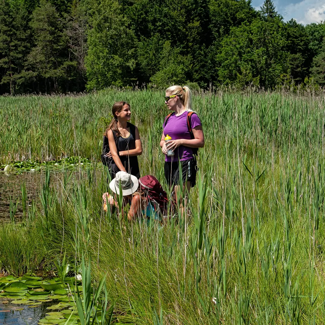
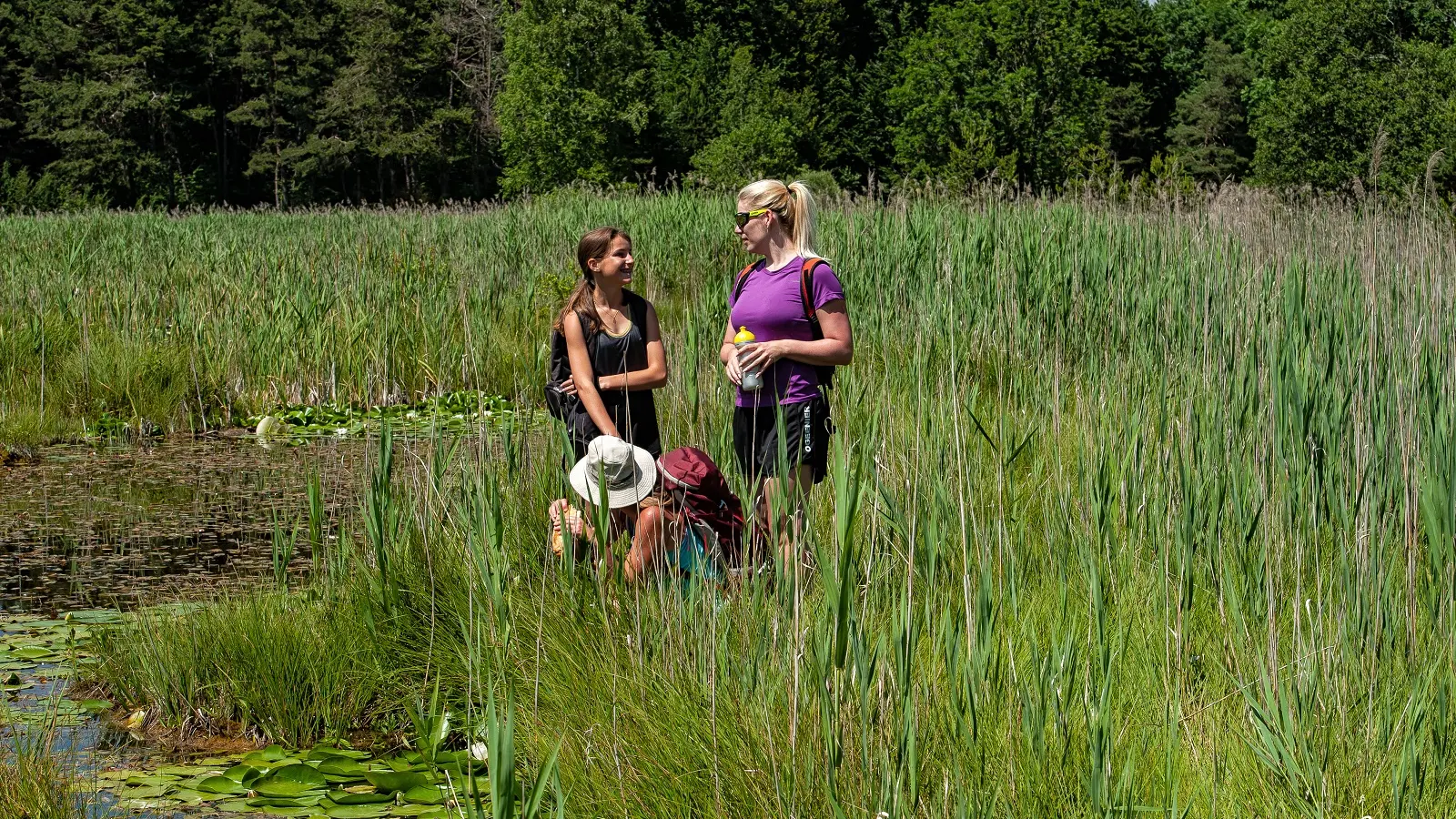
The perfect family hike, this trail with its many themed panels will introduce you to the rich flora and fauna of the Saint-Léger peat bog, as well as one of the oldest religious buildings in the Vallée de la Blanche.
Departing from the family-friendly resort of Montclar, the route passes through a beautiful beech forest and leads easily to the Lac de Saint-Léger, an area protected for its biodiversity. After a short climb up to the 13th-century chapel, the return journey is a leisurely one with a fine view of the emblematic Dormillouse mountain.
Saint-Jean Montclar (1,330m) - Head towards the Col Saint-Jean. At the Col sign, carefully cross the D900 and continue uphill into the hamlet of Saint-Jean. Go past the last houses and come to a crossroads.
Saint-Jean (1,350m) - Turn right towards Lac de Saint-Léger. The track soon becomes a small gravel path that descends to a new crossroads, the Sagnes de Saint-Jean.
Sagnes de Saint-Jean (1,329m) - Take the track on the left towards the Pierre à Sacrifices (GRP® tour of Lac de Serre-Ponçon). Continue flat on the track, which soon enters a beautiful beech forest. After a descent, you come to the Pierre à Sacrifice crossroads.
Pierre à Sacrifices (1,320 m) - After a round trip to the Pierre à Sacrifices (explanatory signs), 75 metres to the right of the signpost, return to the crossroads and turn left towards Lac de Saint-Léger, which is easily reached in 10 minutes.
Lac de Saint-Léger (1,315m) - From the lake, which is home to rare plant and animal species, take the wide path towards the church of Saint-Léger and climb without difficulty towards the building, which, according to the information panel, was built in the 13th century by the Knights Templar. Continue along the path that climbs easily behind the church and crosses a field before coming to a crossroads. Admire the superb view of the Dormillouse mountain as you pass. Turn right onto the path, which becomes a track again and runs alongside a field with a pond. It is easy to reach the hamlet of Saint-Jean. Take the same route back to the car park.