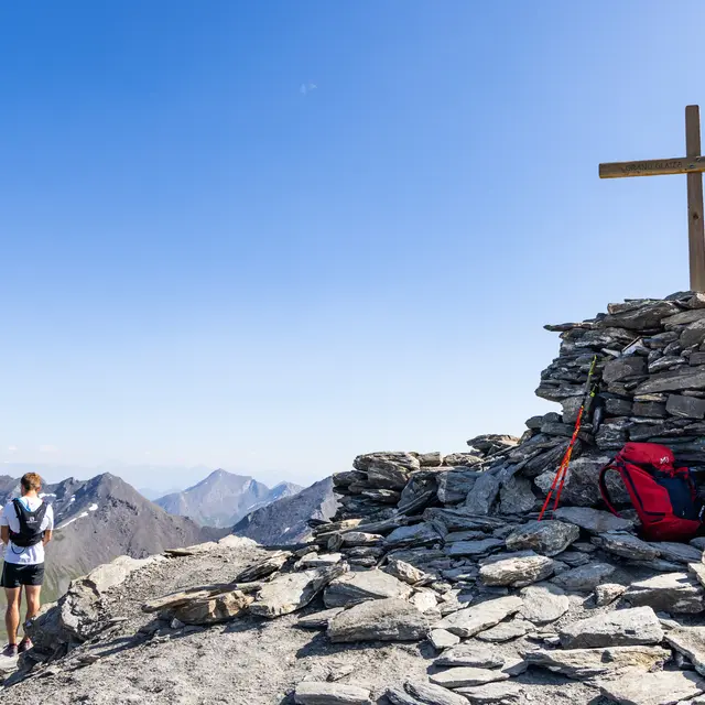
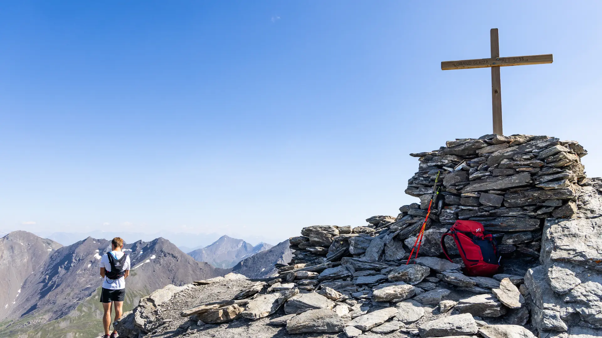
A technically easy ascent through the Pierre Rouge valley to the Col du Malrif, finishing on a ridge that leads to the summit of Grand Glaiza: a mineral summit with a magical view of the Écrins, the Aiguilles d'Arves and Mont Viso.
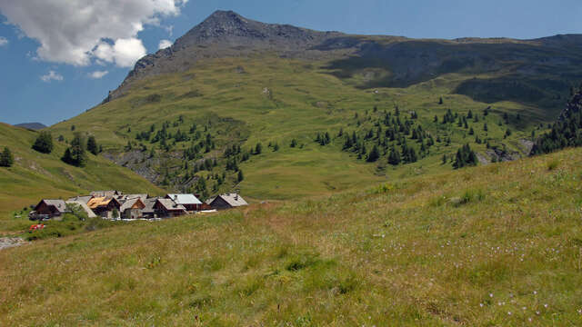
Park in the hamlet of Les Fonts de Cervières, then take the track through the hamlet.
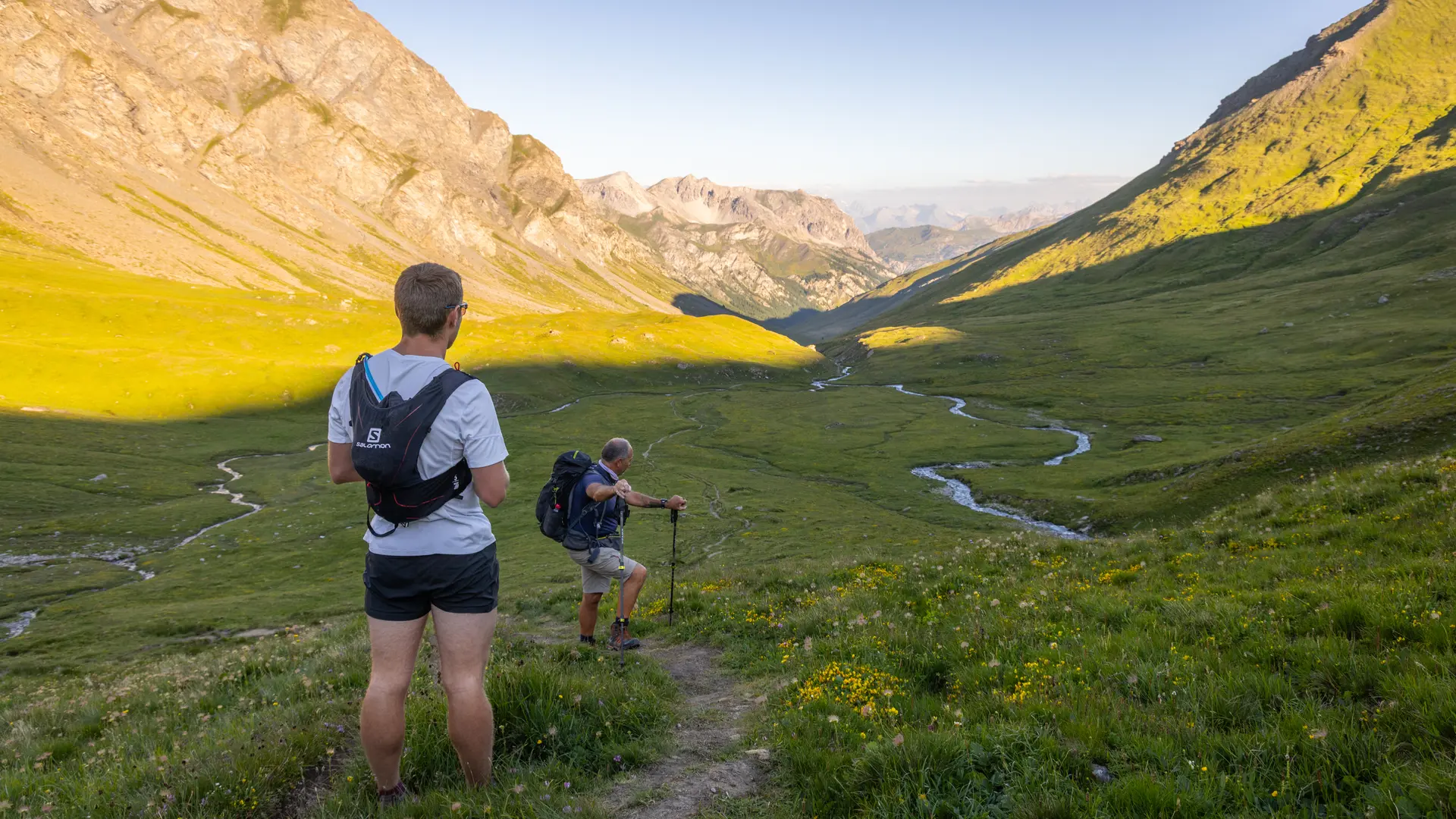
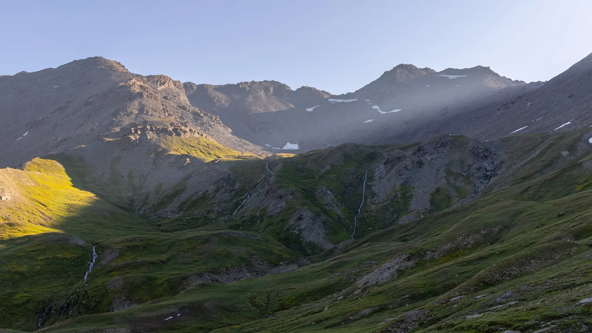
At the intersection, turn left onto the GR58 towards the Col du Malrif. The path crosses the vast Pierre Rouge valley alongside the torrent of the same name, then crosses a scree to reach the pass.
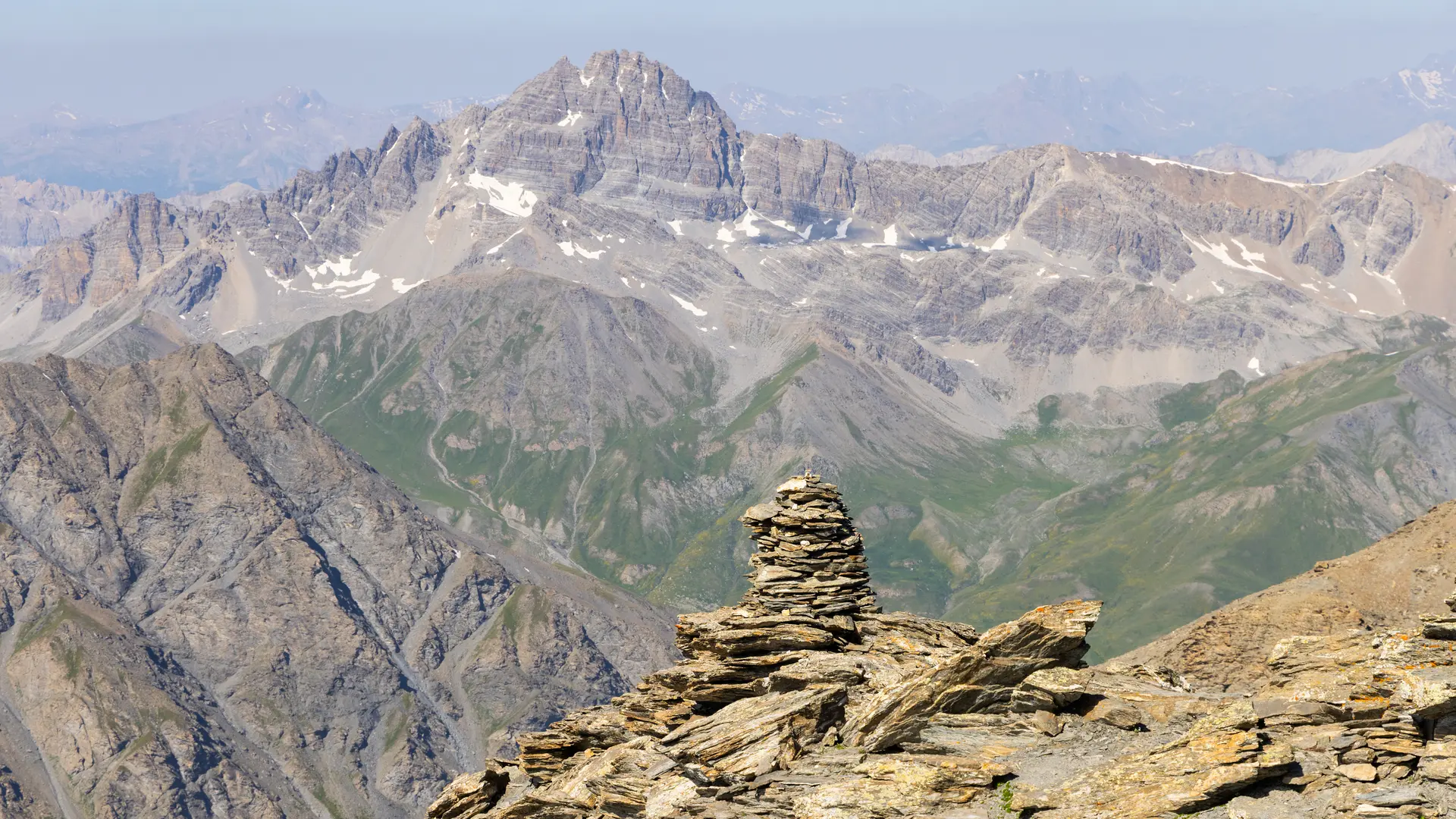
Once at the col, follow the wide ridge on the left (cairns) which leads to the summit.
A remarkable panorama opens up over the Écrins and the Aiguilles d'Arves, as well as the Pic de Rochebrune and the Queyras Regional Nature Park.
The return journey takes the same route.
This itinerary lies at the heart of the Rochebrune - Izoard - Vallée de la Cerveyrette N2000 protected site.
In order to preserve this exceptional site, it is necessary to respect certain rules:
- Stay on the paths
- Dogs must be kept on a leash
- No picking of plants or flowers
- Bring your own garbage
- Camping and fires prohibited, bivouacs authorized
- Respect the tranquillity of the site