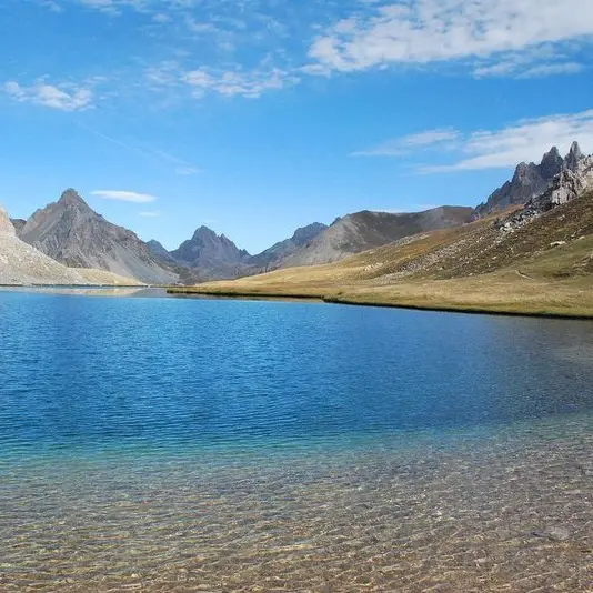
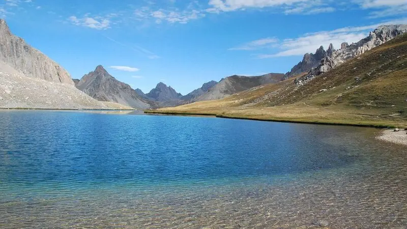
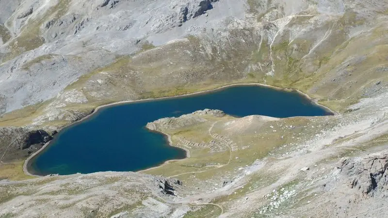
Ancienne vallée glaciaire, le vallon suspendu de l'Oronaye abrite un lac aux nuances bleu turquoise, dominé au loin par l'imposante Tête de Moïse (3104m).
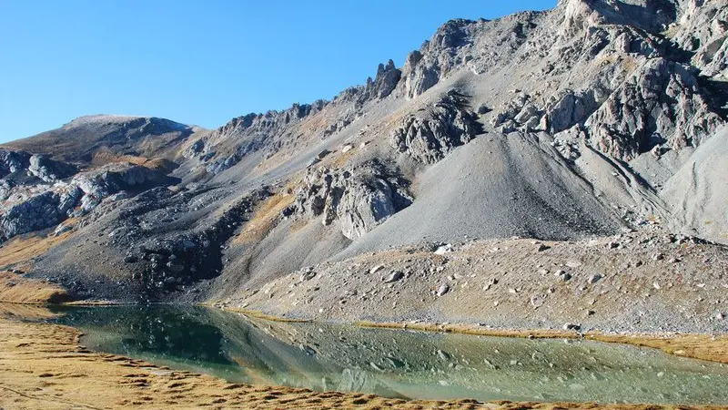
From the car park, head into the Alpine pastures along a wide path. It starts off with a gentle upwards slope before climbing the right bank of the Orrenaye mountain stream and passing close by modern sheep folds. The path then passes over a rock cliff face.Pass by the right turning which would take you downhill. Continue opposite and pass by a slope on the left which heads up to a pastoral hut.At the junction between itineraries, head to the right on the upward path.When you reach a small crossroads, continue straight on, passing by the path for the return journey which is on your right. After a small residual lake, you will reach Lac de l'Orrenaye. Keep climbing on the left of the lake and cross a brook before there is a fork in the path.To reach the border mountain of Le Roburent (2502m) and to admire its Italian namesake, continue along the path with the gentler slope in the same direction.Head back down via the same route. At the residual lake, take the path on the left to re-join the path taken on the outward journey in order to get back to the car park.
Difficulté = Medium