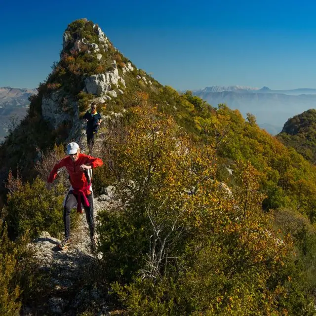
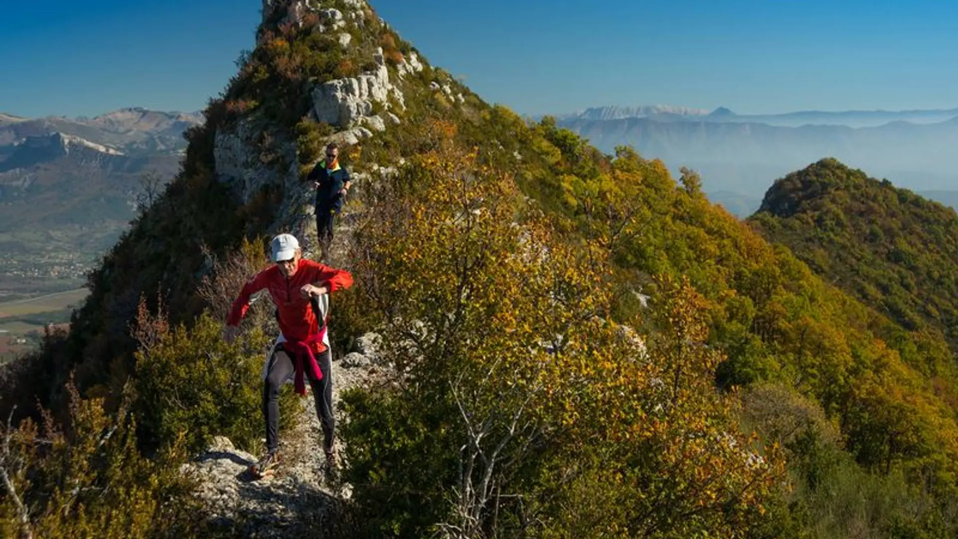
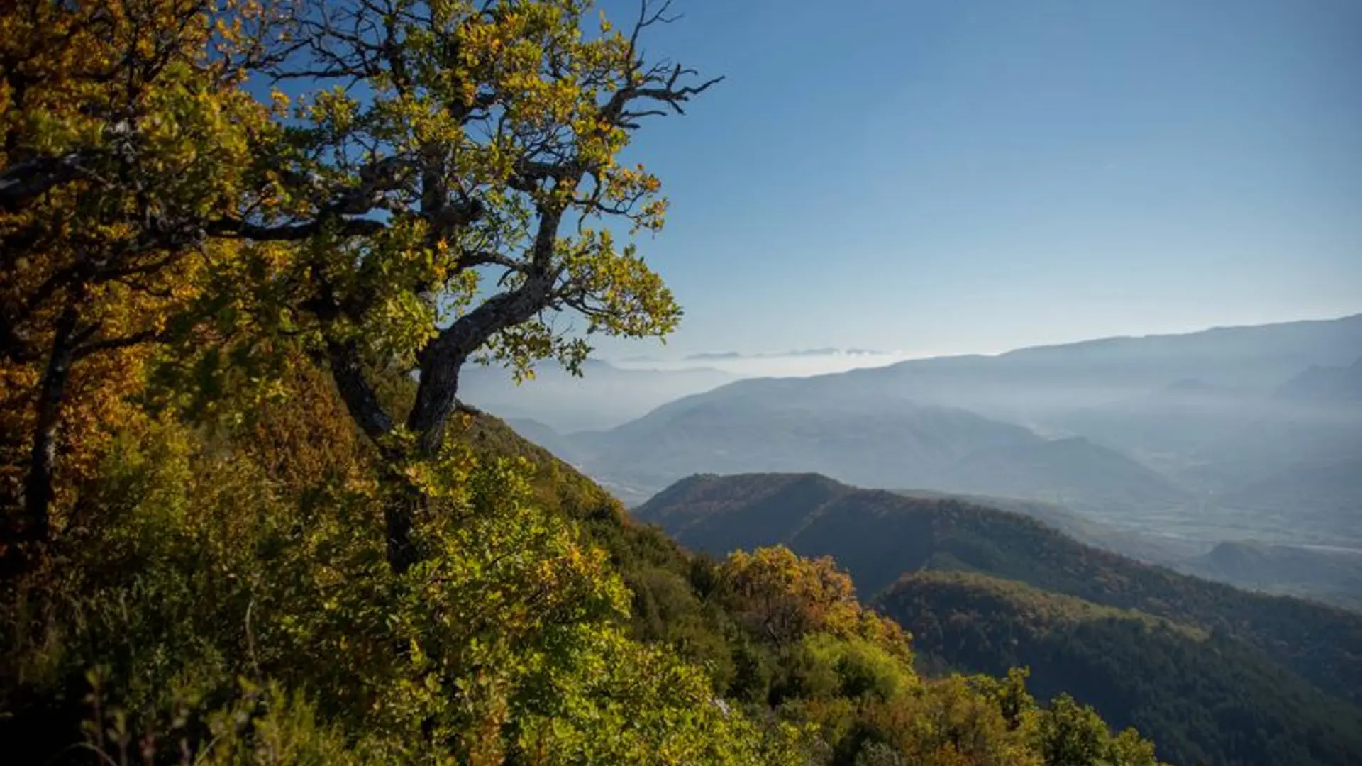
This trail offers sweeping views. The Roc de l'Aigle is the highest point of the Montagne de l'Ubac, located between the Hautes-Alpes and the Alpes-de-Haute-Provence.
Follow the yellow markers on the PR trail
Tips
A few steep sections require using your hands
The climb up to Rocher de Pierre Impie is quite steep
The descent to Les Charles is a steep trail through the woods