
N°22 (Noir) - Cuberselle
Sport, Cycling sports, Mountain biking itinerary
in Veynes
12.7
km
-
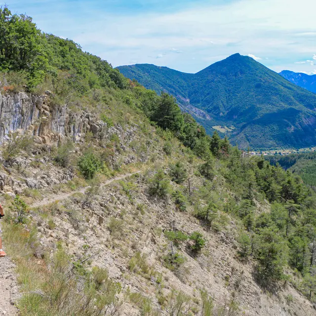
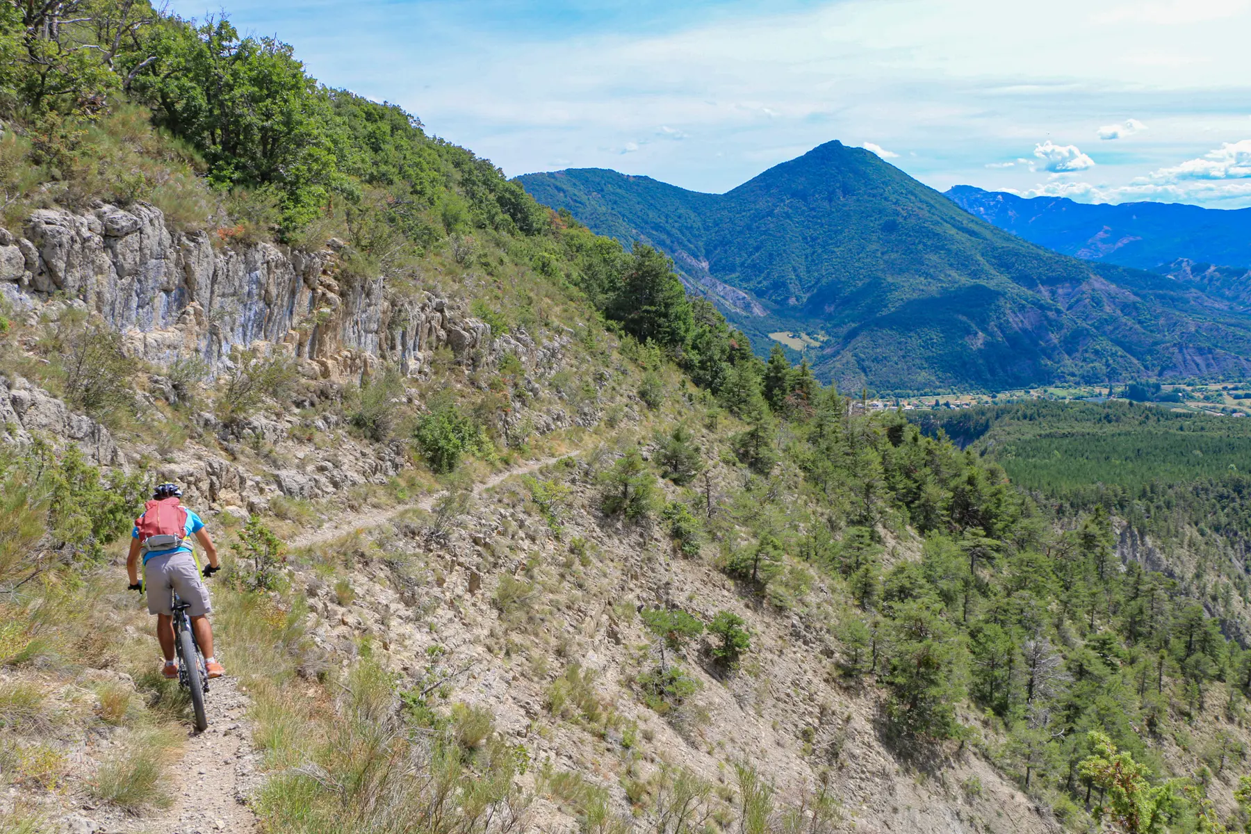
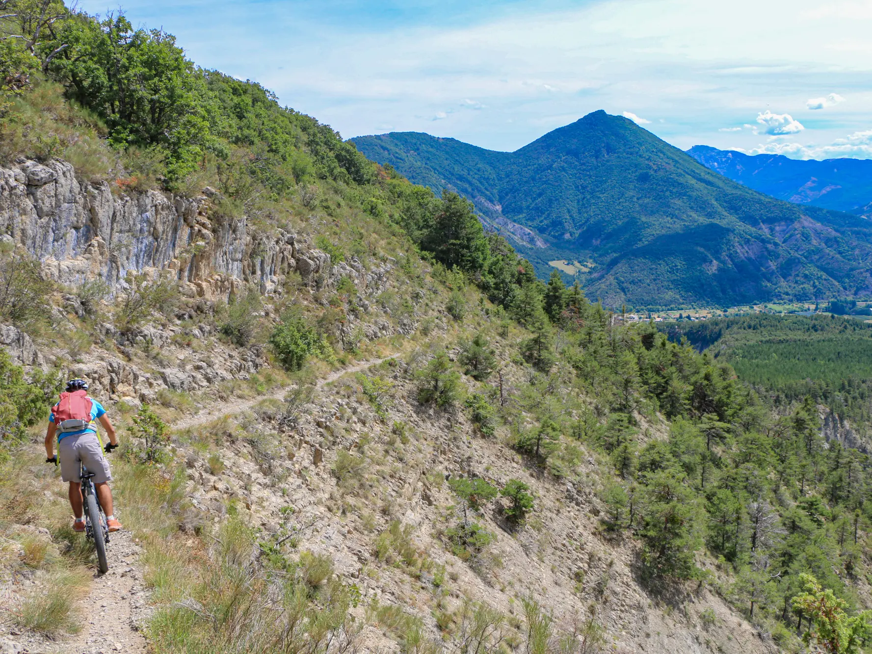
A very beautiful loop with a descent on a major trail in the area. Be careful with some very exposed passages.
Start: Tourist Office
Distance: 12 km
Difference in altitude: 530 D+ Difficulty
Difficulty: Black mountain bike / Black electric mountain bike
- Departure
- Veynes
-
-
Difference in height
- 646.728 m
-
-
-
Plain text period
- All year round.
-
-
-
Environment
-
-
-
Spoken languages
-
-
-
Documentation
- GPX / KML files allow you to export the trail of your hike to your GPS (or other navigation tool)
-
- See all reviews
- 647 meters of difference in height
-
- Maximum altitude : 1366 m
- Minimum altitude : 826 m
- Total positive elevation : 647 m
- Total negative elevation : -647 m
- Max positive elevation : 161 m
- Min positive elevation : -292 m
Services
-
-
Equipment
-